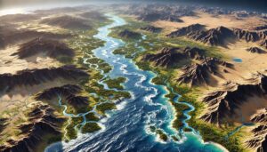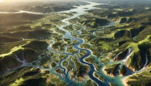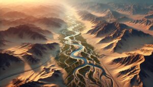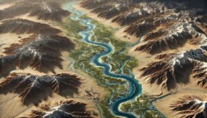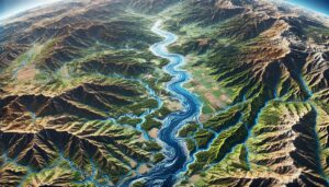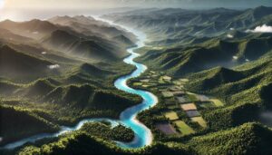
Saint Lucia Watershed Maps
Saint Lucia’s watersheds, such as the Roseau and Nevis River Basins, are vital for agriculture, ecosystems, and water management. Learn how modern technologies like 3D mapping, GIS, and remote sensing help manage these systems, ensuring sustainable water use and addressing challenges like water scarcity, climate change, and population growth.