3D Maps Learning Center
Discover the Exciting World of 3D Maps: A Comprehensive Learning Center of Articles, Photos and Videos
- All
- Articles
- Blog
- Case Studies
- Featured
- Galleries
- Glossaries
- Products
- Services
- Top 10
- Videos
Rhode Island Topo Map
Discover Rhode Island’s captivating geography with topographic maps showcasing Narragansett Bay, rugged coastal cliffs, and rolling inland hills. From Block Island’s dramatic bluffs to tranquil ...
San Diego Topo Map
Discover San Diego’s breathtaking landscapes with topo maps that reveal its coastal cliffs, rolling hills, and urban landmarks. Learn how 2D and 3D maps are ...
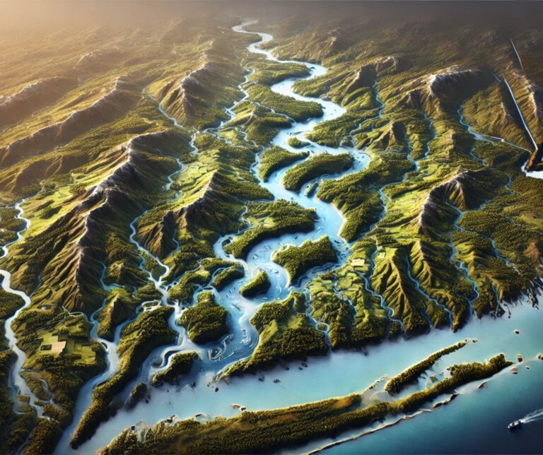
St. Lawrence River Watershed Map
Discover the St. Lawrence River Watershed, a vital system linking the Great Lakes to the Atlantic. Explore its diverse ecosystems, rich cultural history, and economic ...
Ukraine Topo Map
Dive into the world of Ukraine's topo maps, where cutting-edge technology meets artistic precision. From the soaring Carpathians to the vast Dnieper, these maps unveil ...
Yakima River Watershed Map
Discover the Yakima River Watershed, a vital Pacific Northwest resource sustaining ecosystems, agriculture, and communities. Explore its intricate waterways, rich biodiversity, and cultural significance. Learn ...
Massachusetts Topo Map
Discover Massachusetts’ stunning landscapes with topographic maps that showcase the rugged Berkshires, rolling Connecticut River Valley, and iconic Cape Cod coastline. From Boston’s urban topography ...
Pennsylvania Topo Map
Discover Pennsylvania’s stunning geography with topographic maps revealing the rugged Appalachians, fertile Piedmont, and serene Lake Erie shores. From dramatic gorges to vibrant river valleys, ...
Alaska Topo Map
Discover Alaska’s majestic landscapes through detailed topographic maps that unveil towering peaks, sprawling glaciers, vast tundra, and rugged coastlines. Whether navigating Denali’s heights, exploring icy ...
Maryland Topo Map
Discover Maryland’s diverse landscapes with topographic maps showcasing rugged Appalachian peaks, rolling Piedmont hills, and the intricate Chesapeake Bay. From sandy Atlantic shores to fertile ...
Connecticut River Watershed Map
Discover the Connecticut River Watershed, New England’s largest, sustaining ecosystems, agriculture, and communities. Explore its intricate waterways, rich biodiversity, and cultural significance. Learn how stunning ...
Oregon Topo Map
Discover Oregon’s diverse geography with topographic maps showcasing the towering Cascades, scenic coast, fertile valleys, and rugged high desert. From the Columbia River Gorge to ...
Adirondack Mountains Raised Relief Map
Experience the Adirondacks like never before with raised relief maps that bring the region's peaks, valleys, and lakes to life. Perfect for adventurers, educators, and ...
Oklahoma Topo Map
Discover Oklahoma’s dynamic landscapes with topographic maps showcasing the sweeping Great Plains, rugged Wichita Mountains, and lush Cross Timbers. From rolling prairies to fertile river ...
Ohio Topo Map
Discover Ohio’s dynamic landscapes with topographic maps revealing Lake Erie’s shores, the rolling Appalachian Plateau, and the fertile Till Plains. From historic river valleys to ...
Blue Ridge Mountains Raised Relief Map
Explore the Blue Ridge Mountains with a raised relief map. Discover its peaks, valleys, and trails while learning how these 3D maps are crafted.
California Raised Relief Map
Dive into the stunning world of California's raised relief maps, where geography comes alive in 3D. Feel the peaks, trace the valleys, and explore iconic ...
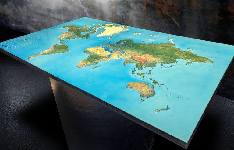
Raised Relief Map of the World
Experience Earth’s landscapes in 3D with a raised relief map of the world. Explore towering mountains, vast plains, and deep oceans in stunning detail. Perfect ...
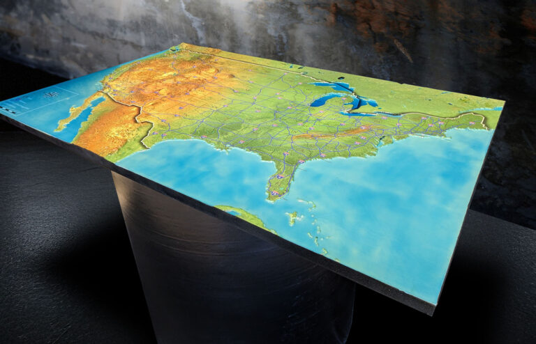
Raised Relief Map of the United States
Explore the United States in stunning 3D with a raised relief map that brings its mountains, rivers, and plains to life. Perfect for education, adventure ...
Arizona Raised Relief Map
Experience Arizona's breathtaking landscapes with a raised relief map! From the Grand Canyon's depths to the Sonoran Desert's vastness, these 3D maps bring every peak, ...
Colorado Raised Relief Map
Dive into the breathtaking landscapes of Colorado with a raised relief map! This tactile 3D masterpiece brings the Rockies, valleys, and plains to life, offering ...
Unearthing History: Revolutionary War Barracks Discovered in Williamsburg, Virginia with 3D Maps of the Area
Uncover history at Colonial Williamsburg! Archaeologists have found Revolutionary War barracks, revealing chimney bricks, musket balls with teeth marks, and high-ranking officers' jewelry. This rare ...
Walker Basin Conservancy 3D Watershed Map
Embark on a thrilling journey through Walker Basin's aquatic wonderland with our immersive 3D Watershed Map. From the roaring rapids of its rivers to the ...
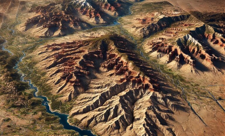
Kodachrome Basin Raised Relief Map
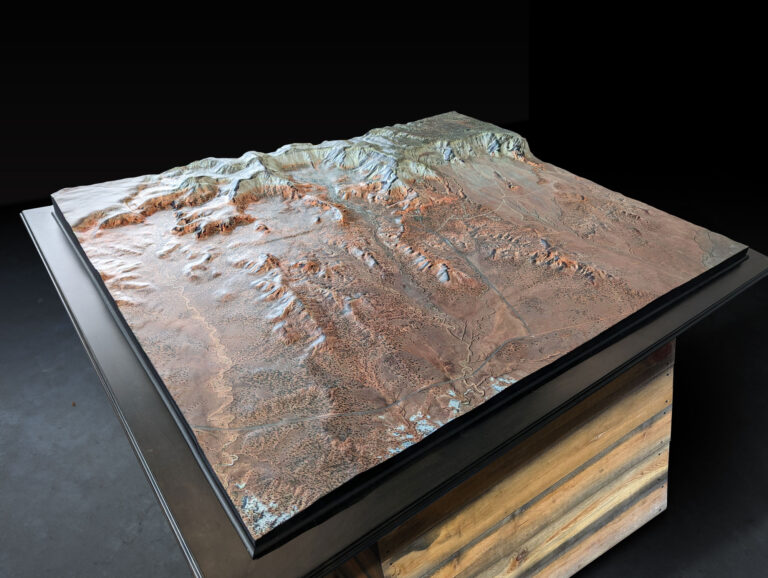
Embark on a thrilling journey through the vibrant hues and towering spires of Kodachrome Basin. With our Raised Relief Map as your guide, every contour ...
Canadian Mining Topographical Model
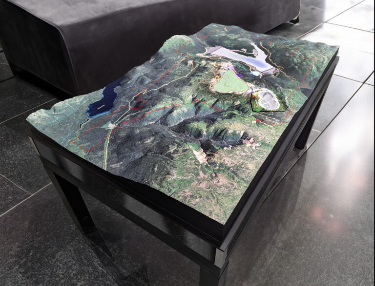
Embark on an adventure into the heart of Northern British Columbia's mining landscape with our Canadian Mining Topographical Model. Crafted with precision by WhiteClouds, this ...
Michigan 3D Map – the Third Coast
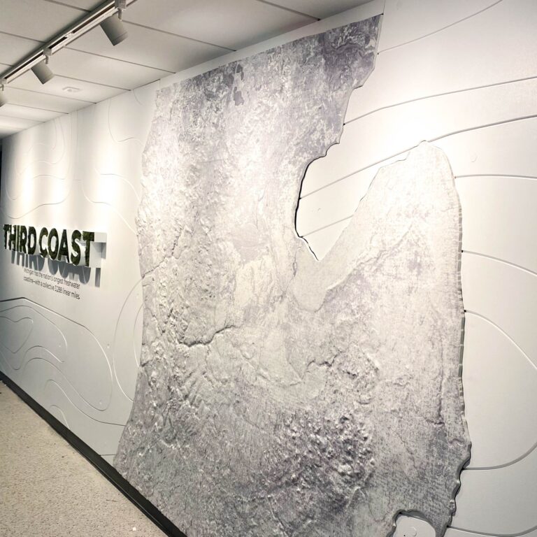
Step into a world where innovation meets artistry. Explore Michigan's "Third Coast" like never before with our captivating 3D map, meticulously crafted to bring every ...
Breckenridge 3D Maps
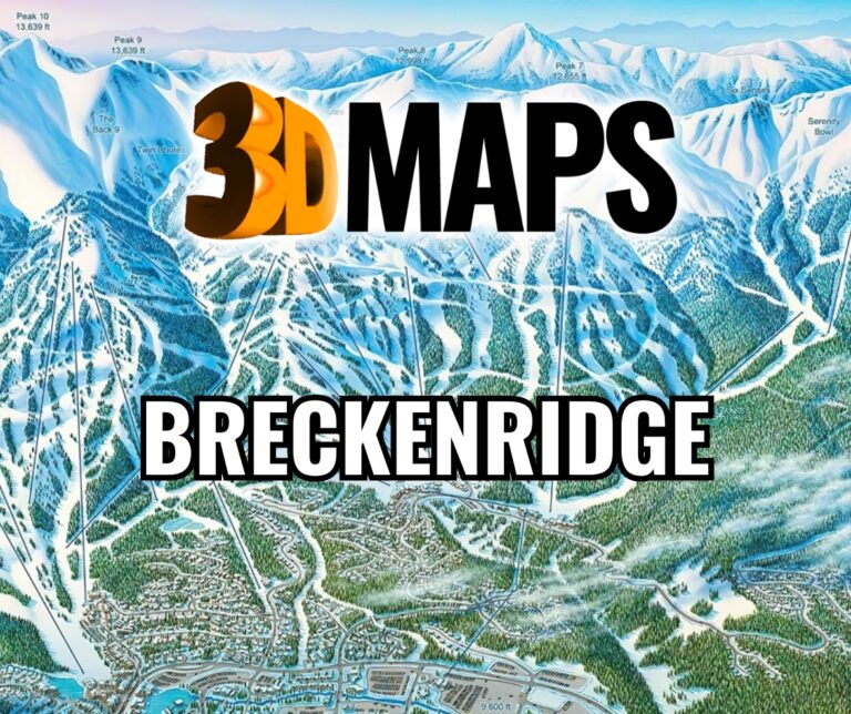
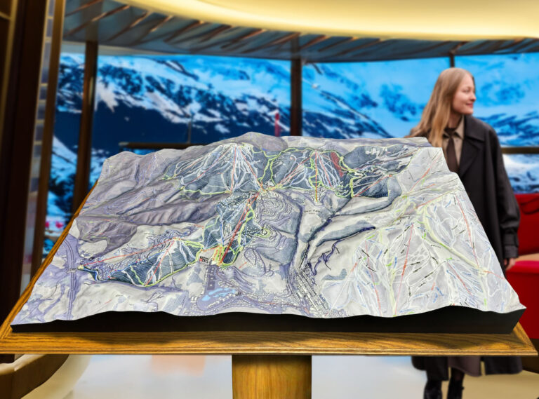
Embark on a thrilling journey through Breckenridge's 3D maps, where craftsmanship meets adventure. Dive into the heart-pounding ski runs of Peak 10, the scenic trails ...
Deer Valley 3D Maps
Embark on a thrilling adventure with Deer Valley 3D Maps, where every slope, peak, and hidden gem comes to life in stunning detail. From the ...
Alta 3D Maps
Embark on an exhilarating journey with Alta 3D Maps, where every peak, valley, and ski run bursts to life in stunning detail. From the heart-pounding ...
