Saddleback Maine 3D Maps
Saddleback Maine 3D Maps
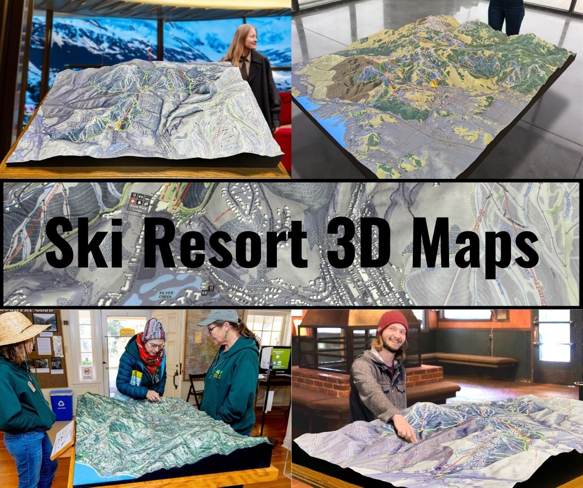
We Build Custom 3D Saddleback Maine Maps
Discovering the Wonders of Saddleback Maine 3D Maps
Saddleback Maine, known for its stunning vistas and diverse skiing terrain, is a favorite destination for outdoor enthusiasts and nature lovers alike. One of the most innovative tools enhancing the experience at Saddleback is the use of 3D maps. These maps offer an immersive view of the terrain, allowing visitors to navigate the mountain with confidence and excitement. This blog explores the enchanting world of Saddleback Maine 3D maps, detailing their fabrication, the thrill of major ski runs, and how they transform the outdoor experience.
The Importance of 3D Maps in Outdoor Recreation
3D maps have transformed the way we interact with our natural surroundings, particularly in outdoor recreation. Unlike traditional 2D maps, which can be flat and limiting, 3D maps provide a dynamic representation of terrain. This technology enables users to visualize elevation changes, slopes, and contours, offering a realistic depiction of the landscape.
For skiers and snowboarders, this means enhanced safety and enjoyment. Understanding the topography of Saddleback helps them assess the difficulty of various runs, recognize potential hazards, and plan their routes. Additionally, these maps often highlight key features such as ski lifts, trails, and landmarks, making navigation seamless and intuitive.
But the benefits of 3D maps extend beyond skiing. Hikers, mountain bikers, and nature enthusiasts can all benefit from the comprehensive information these maps provide. Whether you’re planning a challenging hike or a leisurely bike ride, 3D maps facilitate route planning, ensuring adventurers can confidently explore the trails while appreciating the natural beauty that surrounds them.

The Fascinating Fabrication Process of Saddleback Maine 3D Maps
Creating a 3D map is a sophisticated process that blends technology and artistry. The fabrication of Saddleback Maine 3D maps involves several essential steps that ensure accuracy and detail, allowing for a captivating and informative outdoor experience.
Data Collection: The foundation of any effective 3D map is accurate geographic data. For Saddleback, this data is often collected using various methods, including satellite imagery, aerial surveys, and ground measurements. Technologies such as LiDAR (Light Detection and Ranging) are commonly utilized to gather high-resolution elevation data, capturing intricate details of the terrain.
Creating the Digital Elevation Model (DEM): Once the data is collected, it undergoes processing to create a Digital Elevation Model (DEM). This model serves as the backbone of the 3D representation. Specialized software filters the data to eliminate noise and errors, resulting in a clean and precise model that accurately reflects Saddleback’s topography.
3D Rendering: The next step is transforming the DEM into a visually engaging 3D format. This rendering process involves advanced mapping software that converts the 2D elevation data into a three-dimensional representation. Color gradients are often applied to depict varying elevation levels, enhancing the visual appeal and making the map more engaging.
Adding Features and Details: After rendering the terrain, cartographers incorporate important features into the map. This includes ski runs, trails, lifts, and points of interest. Icons and labels provide users with essential information about the area, creating a comprehensive resource for adventurers. The goal is to craft a visually stunning and informative map that enhances navigation and exploration.
Quality Control: Before finalizing the maps, a rigorous quality control process is conducted. This stage involves checking for accuracy, clarity, and usability. Feedback from outdoor enthusiasts and experts is invaluable, ensuring the final product meets the needs of users and provides a reliable resource for navigation.
Production and Distribution: Once the maps are complete, they are produced in various formats, including printed versions and interactive digital maps. These maps can be found in outdoor retailers, visitor centers, and online platforms, making them accessible to all who wish to explore Saddleback Maine.
The combination of technology, data collection, and artistic design in the fabrication of Saddleback Maine 3D maps results in an invaluable tool for outdoor enthusiasts. These maps not only enhance navigation but also deepen our connection to the beauty of the mountain landscape.
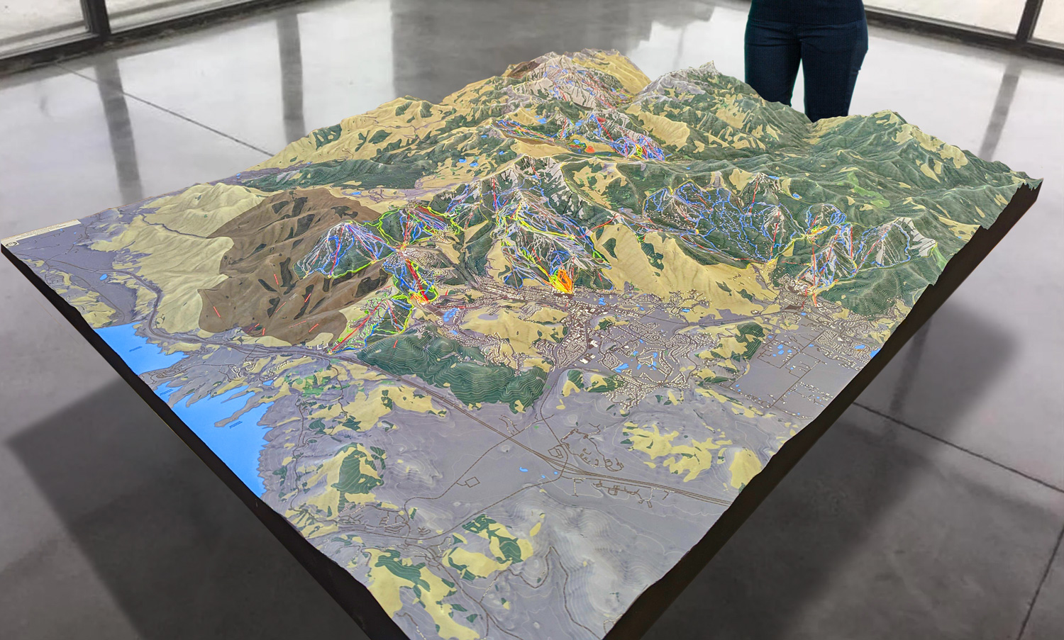
 Park City 3D Raised Relief Map
The Thrill of Major Ski Runs at Saddleback Maine
Saddleback Maine is renowned for its diverse and challenging ski terrain, offering something for every skill level. The ski runs are meticulously designed, catering to beginners, intermediates, and experts alike. Let’s explore some of the major ski runs that make Saddleback a premier skiing destination.
The Rumble: A Favorite for Advanced Skiers
For advanced skiers looking for a challenge, The Rumble is a must-try run. This black diamond trail features steep pitches, tight turns, and natural obstacles that demand skill and precision. The excitement of navigating The Rumble is matched only by the stunning views it offers of the surrounding landscape. Experienced skiers flock to this run for the adrenaline rush and the opportunity to test their abilities.
The Long Trail: A Scenic Journey for Intermediate Skiers
The Long Trail is perfect for intermediate skiers seeking a balance between challenge and enjoyment. This winding run meanders through beautiful glades, providing a scenic journey that showcases the beauty of Saddleback. The well-groomed conditions and gentle slopes make The Long Trail an ideal choice for those looking to improve their skills while soaking in the picturesque surroundings.
The Snowfields: An Expansive Playground for All Levels
The Snowfields offer an expansive playground for skiers of all abilities. This area features wide-open spaces and varying terrain, making it suitable for beginners and experts alike. Families can enjoy easy runs while more adventurous skiers can venture into the powdery slopes. The Snowfields are perfect for practicing turns and enjoying the thrill of skiing in a breathtaking setting.
The Saddleback Summit: A Spectacular Descent for Thrill-Seekers
For those seeking the ultimate thrill, the run from the Saddleback Summit is an exhilarating experience. Starting at the mountain’s peak, this run features a steep descent that quickly transitions into a mix of challenging terrain and open spaces. The breathtaking views from the top, coupled with the excitement of the descent, make this run a favorite among thrill-seekers.
The Easy Street: Perfect for Beginners and Families
Easy Street is the ideal run for novice skiers and families. This gentle slope offers a welcoming environment for those new to skiing, allowing them to build confidence in their skills. The wide, well-maintained trail ensures a safe and enjoyable experience for all. Its proximity to the base lodge makes it convenient for families to take breaks and enjoy warm refreshments.
How 3D Maps Enhance the Skiing Experience
The integration of 3D maps into the skiing experience at Saddleback Maine offers numerous advantages for visitors. Here are some of the key ways these maps enhance the overall adventure:
Enhanced Navigation: 3D maps provide a clear representation of the terrain, allowing skiers to navigate the mountain with ease. By visualizing the runs, lifts, and trails, visitors can plan their routes effectively, reducing the risk of getting lost or ending up on challenging terrain.
Improved Safety: Understanding the topography of Saddleback is crucial for safety. 3D maps help skiers identify potential hazards, such as steep drops or obstacles, enabling them to make informed decisions about their routes. This awareness contributes to a safer skiing experience.
Increased Engagement: The visually stunning nature of 3D maps enhances the overall experience. Skiers are more likely to engage with the landscape and appreciate its beauty when they can see it represented in a captivating format. This connection to nature fosters a deeper appreciation for the environment.
Personalized Exploration: 3D maps allow visitors to customize their experience at Saddleback. By visualizing different runs and trails, skiers can create personalized itineraries based on their skill levels and preferences. This flexibility enhances the overall enjoyment of the mountain.
Accessibility of Information: With the integration of 3D maps into digital platforms, essential information is easily accessible. Real-time updates on weather conditions, trail status, and lift operations can be provided, allowing skiers to make informed decisions about their day on the slopes.
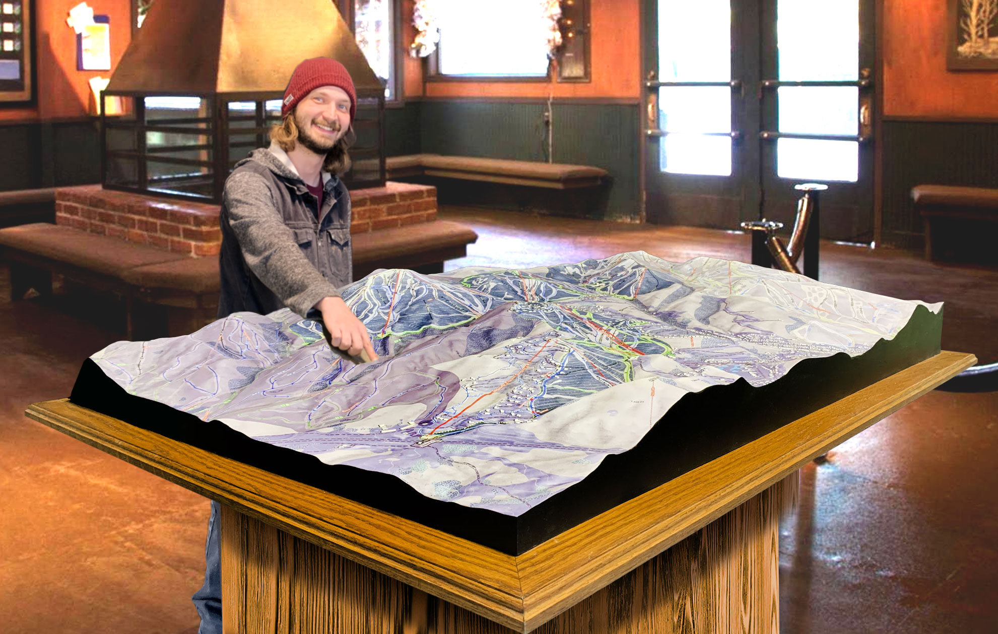
 Deer Valley 3D Raised Relief Map
The Future of 3D Mapping at Saddleback Maine
As technology continues to advance, the future of 3D mapping at Saddleback Maine holds exciting possibilities. Innovations such as augmented reality (AR) and virtual reality (VR) are poised to transform the way visitors interact with the mountain. Imagine being able to explore Saddleback through VR, experiencing the thrill of skiing from the comfort of your home. This technology could provide potential visitors with a preview of their experience, helping them plan their trips more effectively.
Furthermore, integrating real-time data into 3D maps could revolutionize the skiing experience. By incorporating up-to-date weather conditions, trail status, and lift operations, skiers could make informed decisions about their day on the mountain. This dynamic approach to mapping would enhance safety and improve overall enjoyment.
Embracing the Adventure with Saddleback Maine 3D Maps
In conclusion, Saddleback Maine 3D maps serve as an invaluable resource for outdoor enthusiasts, enhancing their understanding and appreciation of the terrain. From the intricate fabrication process to the exhilarating ski runs they help navigate, these maps are essential tools for anyone seeking adventure in this stunning area. Whether you’re tackling the challenges of The Rumble or enjoying a family outing on Easy Street, the insights provided by 3D maps enrich the overall experience.
As you plan your next adventure to Saddleback Maine, consider utilizing the 3D maps available. They will not only guide you through the mountain’s breathtaking landscape but also deepen your connection to the natural world around you. Embrace the thrill of discovery, and let Saddleback Maine’s 3D maps lead you on an unforgettable journey!
Check out WhiteClouds’ 3D Maps for more information on 3D maps of Saddleback Maine Ski Area.
