Ragged Mountain 3D Maps
Ragged Mountain 3D Maps
We Build Custom 3D Ragged Mountain Maps
Discovering Ragged Mountain: The Magic of 3D Maps in a Skiing Paradise
Nestled in the scenic landscape of Danbury, New Hampshire, Ragged Mountain is a hidden gem for skiing enthusiasts. Known for its thrilling terrain, breathtaking vistas, and family-friendly environment, this ski resort attracts visitors with its promise of adventure and nature immersion. Yet, for skiers and visitors, the true essence of Ragged Mountain is now being captured in an entirely new and exciting way: through meticulously crafted 3D maps. These maps not only highlight the resort’s geographical features but also provide an immersive experience that connects skiers more intimately with the mountain’s contours and challenges.
In this blog, we’ll dive into the fascinating world of 3D maps, focusing on Ragged Mountain, exploring how these maps are made, their value to skiers, and a detailed look at the major ski runs that make Ragged Mountain a must-visit destination.
The Art and Science Behind Ragged Mountain 3D Maps
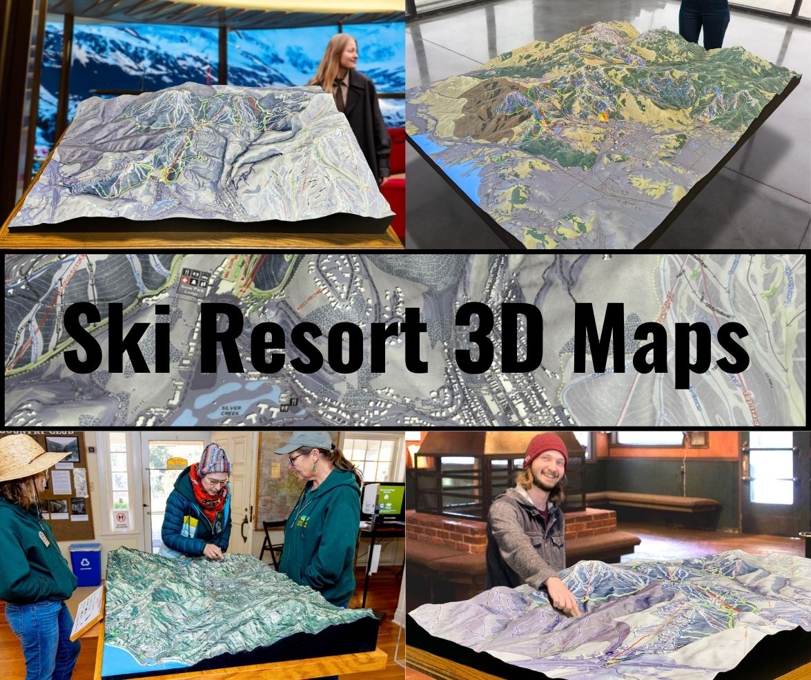
Creating 3D maps of a ski resort like Ragged Mountain is no small feat. It involves a blend of technology, craftsmanship, and a deep understanding of topography. Unlike traditional flat maps, 3D maps offer a tactile and visual depth that transforms a two-dimensional representation into a sculpted reality. The process behind crafting these maps is intricate and requires a combination of both digital and physical techniques.
The process often starts with aerial surveys and LiDAR technology (Light Detection and Ranging), which captures highly detailed topographic data of the mountain. LiDAR emits laser pulses that bounce off the surface of the mountain, creating a precise map of the terrain down to the smallest bumps, slopes, and ridges. This data allows the designers to get an accurate picture of Ragged Mountain’s vertical elevation changes, tree lines, and trail systems. The result is a digital elevation model (DEM) that forms the foundation of the 3D map.
Once the digital map is created, computer-aided design (CAD) tools are used to further refine the model and ensure that it accurately reflects the mountain’s ski trails, chairlifts, and important features. These tools allow designers to manipulate the digital model, adjusting for scale, proportions, and the final aesthetic.
However, the real artistry comes into play during the fabrication phase. Many 3D maps, especially physical ones, are printed using advanced 3D printing technologies or CNC milling. In some cases, high-quality foam or plastic is used as the base material, with layers gradually built up to form the topographical features. For Ragged Mountain, this means that every twist, ridge, and slope of its natural beauty is meticulously replicated in stunning detail.
The final step in the process involves painting and detailing the map to make it as lifelike as possible. Artists use airbrushing techniques to recreate the snow-covered peaks, forested areas, and the changing textures of the mountain. Colors are carefully selected to reflect the actual terrain during different times of the season. Ski runs are highlighted using bright, distinct colors to show beginner, intermediate, and advanced trails, making navigation easier for skiers when they plan their routes.

Why 3D Maps Elevate the Skiing Experience
For skiers and visitors, Ragged Mountain 3D maps offer far more than just an interesting souvenir or piece of art. These maps are functional tools that enhance the skiing experience by giving a clearer understanding of the mountain’s geography.
Planning Routes: Skiers of all levels can use the 3D maps to better plan their day on the slopes. Since these maps show a more realistic portrayal of the terrain, they provide a clearer perspective on the steepness of the slopes, the length of the runs, and how various trails interconnect. This helps skiers plan their routes with more confidence, avoiding trails that might be too difficult or missing out on hidden gems that a flat map may not highlight.
Safety: For beginners or those unfamiliar with Ragged Mountain, understanding the topography can help prevent accidents. Skiers can clearly see where sharp turns or steep inclines lie, making it easier to choose runs suited to their skill level. In the case of adverse weather conditions, the maps can also aid in identifying safer routes.
Appreciation of Nature: Ragged Mountain’s natural beauty is one of its biggest draws. The 3D maps serve as a reminder of how the mountain’s landscape contributes to the overall skiing experience. Skiers get a greater appreciation of the sweeping valleys, wooded areas, and breathtaking viewpoints, enriching their connection to the mountain.
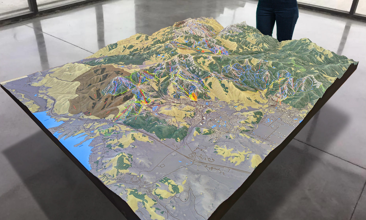
 Park City 3D Raised Relief Map
Major Ski Runs at Ragged Mountain: A 3D Adventure
Ragged Mountain offers a diverse array of ski runs, catering to everyone from beginners to expert skiers. The resort is home to two peaks, Ragged Mountain and Spear Mountain, each offering its unique terrain and challenges. With 57 trails spread across these peaks, skiers have plenty of options to explore.
Let’s take a closer look at some of the most popular and exciting runs that are captured in the Ragged Mountain 3D maps:
Cardigan (Intermediate): Located on Ragged Mountain, Cardigan is one of the resort’s most popular trails for intermediate skiers. Known for its smooth, wide lanes and gradual descent, it offers fantastic views of the surrounding valley and is ideal for skiers looking for a relaxed yet exhilarating ride. On the 3D maps, you can see how the trail winds gently down the mountain, passing through wooded sections and open areas, making it perfect for those looking to enjoy a scenic run.
Sweepstakes (Expert): For those craving a challenge, Sweepstakes on Spear Mountain is a must. This black diamond run is steep and fast, offering a thrilling ride for advanced skiers. The 3D maps highlight the steep vertical drop and the sharp turns that make this run both exhilarating and demanding. Skiers can use the 3D model to plan their attack on this intense run, ensuring they are prepared for the terrain’s challenges.
Flying Yankee (Intermediate): Flying Yankee is a favorite intermediate trail, offering a longer and more adventurous descent compared to other runs. The trail winds down Spear Mountain, providing skiers with a combination of smooth, gliding sections and more challenging spots that require quick turns and technical skills. In the 3D maps, you can see how Flying Yankee flows along the mountain’s contour, making it an excellent choice for those looking for a long, satisfying run.
Village Green (Beginner): If you’re new to skiing or want to take it easy, Village Green on Ragged Mountain is the perfect place to start. This wide, gentle slope offers plenty of space to practice your skills while taking in the beautiful mountain views. The 3D maps show how this trail sits at the base of the mountain, making it easily accessible for beginners. It’s an ideal spot for families or those just starting their skiing journey.
Birches (Advanced): Birches is a hidden gem for advanced skiers. Tucked away on Spear Mountain, it offers a challenging, tree-lined descent that requires precision and control. This trail is ideal for expert skiers looking for an off-the-beaten-path adventure. The 3D maps give a clear picture of the dense tree coverage and narrow path, helping experienced skiers navigate the terrain with confidence.
Ragged Edge Terrain Park (All Levels): For those looking for a different kind of thrill, Ragged Edge Terrain Park provides a playground for skiers and snowboarders of all levels. With jumps, rails, and other features, the terrain park is the perfect place to test your freestyle skills. On the 3D maps, you can see the layout of the park, including the various features that cater to both beginners and more experienced park riders.
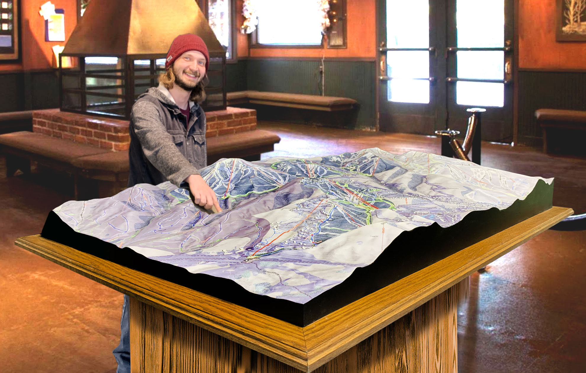
 Deer Valley 3D Raised Relief Map
The Future of Ski Resort Navigation: Digital 3D Maps
While physical 3D maps are already enhancing the skiing experience, there is an exciting future ahead with digital 3D maps. These digital versions offer even greater interactivity, allowing skiers to explore the mountain from any angle, zoom in on specific trails, and get real-time updates on conditions. Skiers can use mobile apps or resort websites to virtually explore the mountain, plan routes, and track their progress on the slopes.
For Ragged Mountain, this means that visitors can enjoy a seamless experience, whether they are on the chairlift or preparing for their day from home. Digital 3D maps are also useful for resort management, helping with trail maintenance, snow grooming, and safety measures.
Conclusion: Ragged Mountain Brought to Life in 3D
Ragged Mountain’s 3D maps are more than just a tool; they are a window into the mountain’s very essence. By capturing the terrain in stunning detail, these maps give skiers a deeper understanding of the landscape and an enhanced appreciation for the slopes they’re about to conquer. From beginners taking their first runs on Village Green to experts testing their skills on Sweepstakes, 3D maps provide a clear, immersive picture of what awaits them.
The process of creating these maps—blending cutting-edge technology with artisanal craftsmanship—reflects the care and passion that go into preserving and showcasing Ragged Mountain’s unique geography. For anyone planning a trip to Ragged Mountain, these maps are an indispensable resource for navigating the trails and maximizing the skiing adventure.
Check out WhiteClouds’ 3D Maps for more information on 3D maps of Ragged Mountain Ski Resort.
