Waterville Valley Resort 3D Maps
Waterville Valley Resort 3D Maps
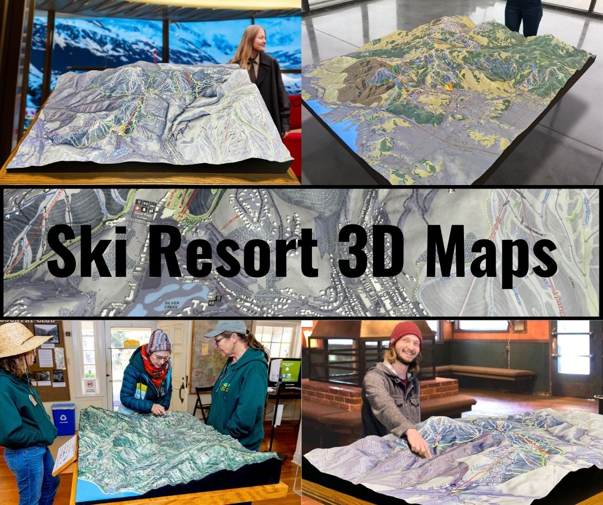
We Build Custom 3D Waterville Valley Resort Maps
Waterville Valley Resort 3D Maps: Bringing the Mountain to Life in Stunning Detail
Waterville Valley Resort, located in the heart of New Hampshire’s White Mountains, is one of the region’s most iconic ski destinations. Known for its diverse trails, scenic views, and family-friendly atmosphere, it’s a place where skiers of all levels can enjoy the thrill of winter sports. But now, thanks to state-of-the-art 3D maps, visitors can explore the mountain in a whole new way. These maps offer a detailed and immersive view of the resort’s terrain, allowing skiers to better navigate the mountain and appreciate its natural beauty.
In this blog, we’ll take a deep dive into how these Waterville Valley Resort 3D maps are crafted, the technology behind them, and the major ski runs that make this resort so popular. By the end, you’ll have a new appreciation for how these maps enhance the skiing experience, making your time at Waterville Valley even more enjoyable.

The Craftsmanship Behind Waterville Valley Resort 3D Maps
The process of creating a 3D map for a ski resort like Waterville Valley involves cutting-edge technology and a lot of artistic finesse. These maps are much more than just pretty pictures—they’re functional tools that provide skiers with an accurate representation of the mountain’s topography. Let’s explore the steps involved in bringing these maps to life.
Gathering Topographic Data: The Foundation of 3D Maps
The first step in creating a 3D map is collecting accurate topographic data. At Waterville Valley, this is done using LiDAR (Light Detection and Ranging) technology, which employs laser pulses to measure the distance between the laser and the mountain’s surface. These pulses bounce back to the sensor, creating a highly detailed elevation model that shows every ridge, valley, and slope of the mountain.
LiDAR is ideal for mapping complex terrains like Waterville Valley, where elevation changes and natural obstacles like trees, rocks, and cliffs play a huge role in the skiing experience. The data collected is processed into a digital elevation model (DEM), which becomes the foundation of the 3D map.
Building the Digital 3D Model
Once the topographic data is gathered, it’s time to build the digital model. Computer-aided design (CAD) software is used to transform the DEM into a detailed 3D representation of the mountain. Designers use this software to create a map that accurately reflects the mountain’s physical features, from gentle beginner slopes to the steep, challenging black diamond runs.
Every aspect of the resort’s layout is incorporated into the digital model, including ski lifts, base areas, and other landmarks. This allows skiers to see how the trails interconnect, where the best access points are, and which areas are ideal for different skill levels.
Physical Fabrication: Bringing the Map to Life
After the digital model is complete, it’s often transformed into a physical 3D map using 3D printing technology or CNC machining. These machines use materials like high-density foam or plastic to build up layers, creating a tactile representation of the mountain’s terrain. The result is a three-dimensional map that visitors can touch and interact with, helping them better visualize the slopes before they hit the snow.
Painting and Detailing the Map
Once the physical map is created, the final step is to add the artistic details that make the map truly stand out. Artists use airbrushing techniques to paint the snow-covered peaks, dense tree lines, and rocky outcroppings that define Waterville Valley’s landscape. The trails are highlighted with bright colors, allowing skiers to easily distinguish between beginner, intermediate, and expert runs.
The map is also annotated with important features like ski lifts, terrain parks, and lodge locations, making it a valuable tool for navigating the resort. Whether you’re studying the map in the lodge or using a digital version on your phone, this level of detail helps ensure a seamless and enjoyable skiing experience.
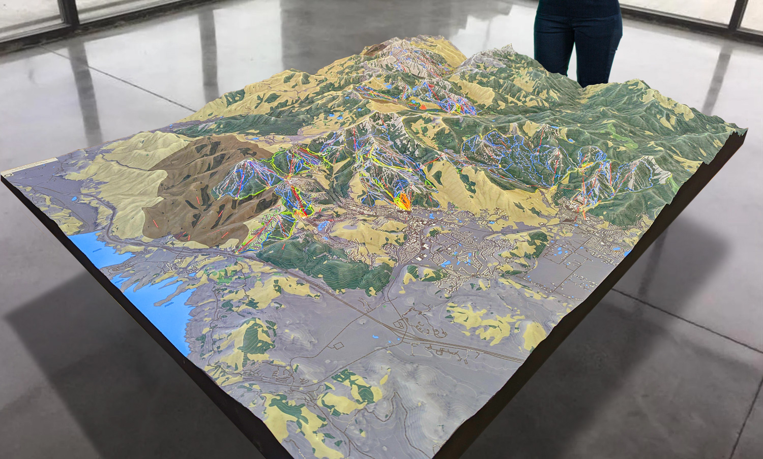
 Park City 3D Raised Relief Map
Enhancing the Skiing Experience with 3D Maps
Waterville Valley Resort’s 3D maps aren’t just works of art—they’re practical tools that make skiing more enjoyable and safer. Whether you’re a beginner looking for the easiest trails or an expert searching for the steepest runs, these maps provide valuable insights that help you make the most of your time on the mountain.
Better Route Planning: One of the main advantages of a 3D map is that it gives skiers a more realistic view of the mountain. Flat maps can be deceiving, making it difficult to judge the steepness of a slope or the length of a trail. With a 3D map, you can clearly see how each trail flows down the mountain, making it easier to plan your route based on your skill level and desired challenge.
- For example, beginner skiers can use the 3D map to find wide, gentle slopes that offer plenty of space for practicing turns, while intermediate and advanced skiers can locate runs that offer more speed and technical difficulty. The ability to see the terrain in detail helps skiers feel more confident and prepared before heading out onto the slopes.
- Enhanced Safety: Skiing can be a dangerous sport, especially if you’re unfamiliar with the terrain. Waterville Valley’s 3D maps help improve safety by giving skiers a better understanding of the mountain’s features. Steep drops, sharp turns, and potential obstacles are all visible on the map, allowing skiers to avoid hazardous areas and choose trails that match their abilities.
- The maps also highlight key safety features, such as ski patrol stations, emergency contact points, and the locations of terrain parks. This helps ensure that skiers can quickly access help if they need it, and makes it easier to navigate the mountain safely.
- A Deeper Connection to the Mountain: For many skiers, Waterville Valley’s natural beauty is a big part of the appeal. The 3D maps allow visitors to appreciate the mountain’s unique topography in a way that flat maps simply can’t. By seeing the landscape in three dimensions, skiers can develop a deeper connection to the mountain and gain a better understanding of how each trail fits into the larger ecosystem.
- This connection can enhance the overall skiing experience, making each run feel more personal and immersive. Whether you’re carving down a wide-open slope or weaving through trees on a narrow trail, the 3D map helps you appreciate the mountain’s natural beauty and its role in shaping your adventure.
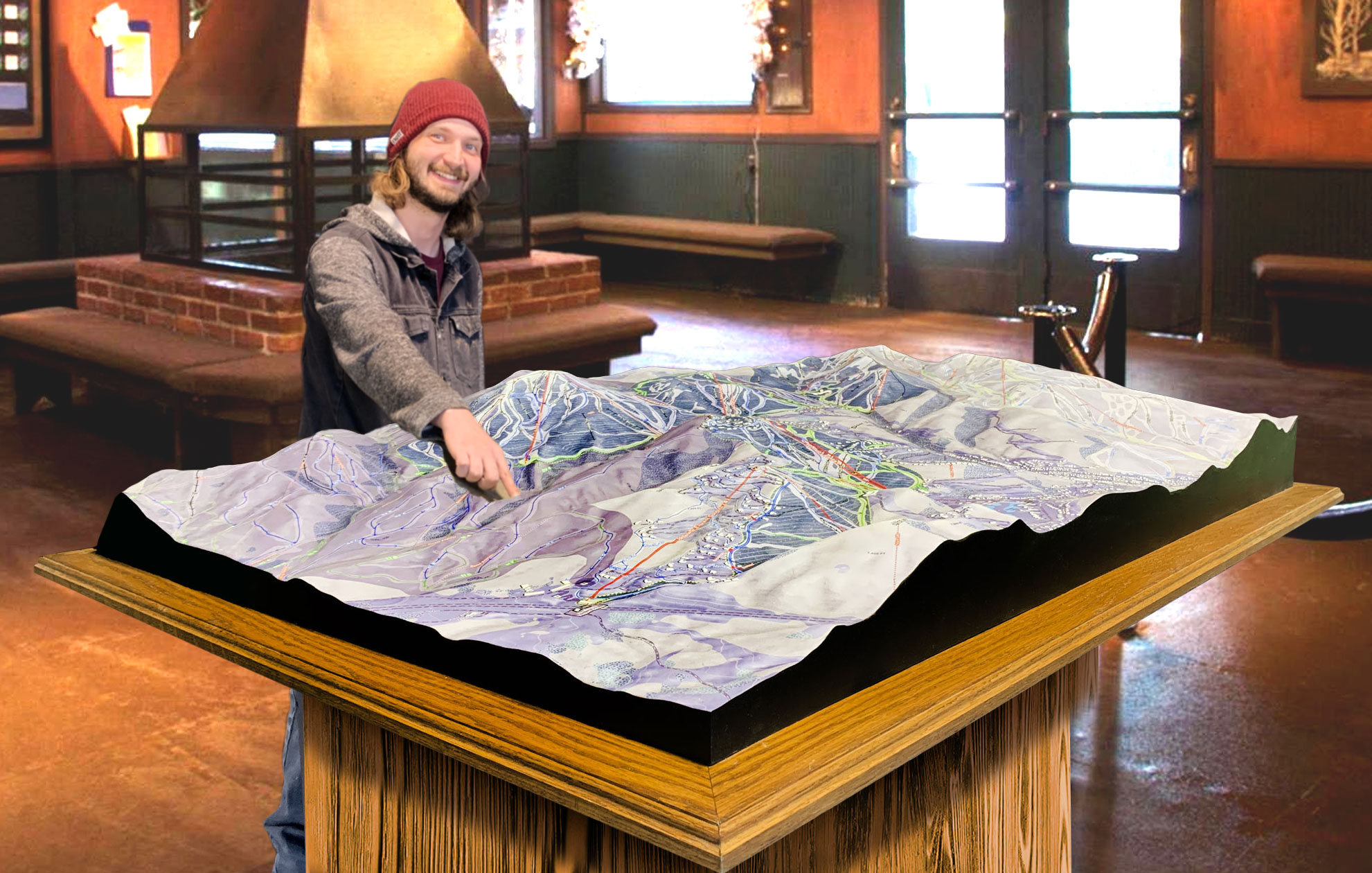
 Deer Valley 3D Raised Relief Map
Major Ski Runs at Waterville Valley Resort
Waterville Valley Resort offers a wide variety of ski runs that cater to all skill levels. From gentle beginner slopes to steep, technical expert runs, there’s something for everyone. The resort’s 3D maps provide a detailed view of these runs, helping skiers plan their day and choose the trails that best match their abilities.
Let’s take a closer look at some of the major ski runs at Waterville Valley Resort, as highlighted on the 3D maps.
Valley Run (Beginner): One of the most popular trails for beginners, Valley Run is a long, wide slope that offers plenty of space for new skiers to practice their turns. The gentle gradient makes it easy to control your speed, while the scenic views of the surrounding mountains add to the experience. On the 3D map, you can see how Valley Run winds its way down the lower part of the mountain, making it easily accessible from the base lodge.
Oblivion (Expert): For advanced skiers looking for a challenge, Oblivion is one of Waterville Valley’s most thrilling runs. This steep black diamond trail drops off the summit and offers a fast, technical descent with sharp turns and narrow sections. The 3D map shows the steep vertical drop and the tight, twisting path of the trail, giving skiers a clear picture of what they’re in for. It’s a must-try for expert skiers seeking an adrenaline rush.
Tippecanoe (Intermediate): Tippecanoe is a favorite among intermediate skiers, offering a smooth, flowing ride with just the right amount of challenge. The trail is long and wide, allowing for big, sweeping turns that make it ideal for skiers looking to improve their technique. The 3D map highlights the trail’s gradual descent and scenic route, making it a great option for skiers who want a balance of excitement and comfort.
True Grit (Expert): True Grit is another of Waterville Valley’s legendary expert trails. Known for its steep incline and fast pace, this black diamond run is a favorite among advanced skiers. The 3D map captures the dramatic vertical drop and the intense speed that True Grit offers, making it clear why this trail is considered one of the toughest at the resort. It’s a straight shot down the mountain that requires skill and confidence to navigate.
High Country (Beginner): High Country is an easy, beginner-friendly trail that takes skiers along the upper reaches of the mountain. The trail offers stunning views of the surrounding White Mountains and is perfect for those who want to enjoy a leisurely ride with minimal difficulty. The 3D map shows how High Country gently meanders across the upper slopes, making it a relaxing and scenic option for new skiers.
Conclusion: Waterville Valley 3D Maps—A Game-Changer for Skiers
The 3D maps at Waterville Valley Resort offer skiers a new way to experience the mountain. By providing a detailed, realistic view of the terrain, these maps help skiers plan their routes, stay safe, and connect more deeply with the mountain’s natural beauty. Whether you’re a beginner looking for gentle slopes or an expert seeking out the steepest runs, Waterville Valley’s 3D maps make navigating the resort easier and more enjoyable than ever.
Check out WhiteClouds’ 3D Maps for more information on 3D maps of Waterville Valley Resort.
