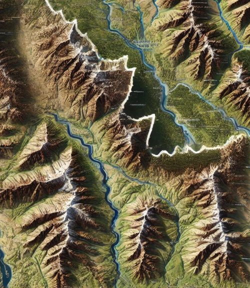
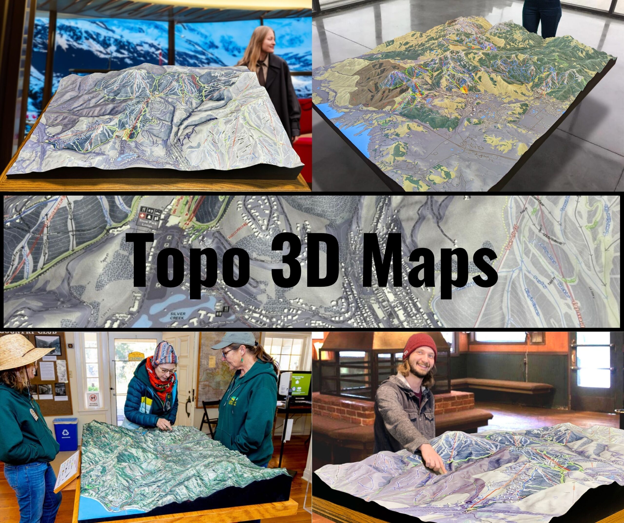
In addition to physical 3D maps, digital 3D topographic models are increasingly popular, particularly for hikers, geologists, and outdoor enthusiasts. Using specialized software, users can rotate, zoom, and manipulate digital versions of these maps, providing a detailed and flexible way to explore Idaho’s varied landscapes. These digital maps are particularly useful for planning expeditions in remote areas, offering a comprehensive view of the terrain before setting foot on the ground.
Idaho Topo Maps in Environmental Conservation and Resource Management
Topographic maps play a crucial role in Idaho’s environmental conservation efforts and resource management. The state’s natural resources, from its forests and rivers to its wildlife and ecosystems, are deeply connected to its topography. Conservationists, scientists, and land managers rely on topographic maps to plan and execute initiatives aimed at preserving Idaho’s pristine wilderness and managing its natural resources sustainably.
In Idaho’s mountainous regions, where elevation plays a significant role in ecosystem diversity, topographic maps help scientists understand how changes in elevation affect plant and animal life. For instance, the transition from low-elevation grasslands to high-elevation forests and alpine tundra is well-documented on topographic maps, making it easier to track changes in species distribution due to climate change or human activity.
Topographic maps are also used in fire management, particularly in the vast forests of central and northern Idaho. The steep terrain of the Sawtooth and Bitterroot Mountains makes firefighting efforts challenging, and topographic maps are essential for planning containment strategies and safe evacuation routes. By understanding the landscape’s elevation and slope, fire crews can better predict how wildfires will spread and where to establish firebreaks.
In Idaho’s river systems, topographic maps are invaluable for managing water resources. The Snake River, which irrigates much of southern Idaho’s farmland, is a vital part of the state’s agricultural economy. Topographic maps help land managers plan irrigation systems, monitor water flow, and assess the impact of dams and reservoirs on the surrounding terrain. These maps are also essential for flood management, particularly in the spring when snowmelt from Idaho’s mountains swells the state’s rivers.
Additionally, Idaho’s vast public lands, including national forests and wilderness areas, rely on topographic maps for responsible land management. These maps help land managers balance the needs of recreation, conservation, and resource extraction, ensuring that Idaho’s natural beauty remains preserved for future generations.
Idaho Topo Maps for Outdoor Recreation: Enhancing the Adventure
Idaho is a haven for outdoor enthusiasts, offering some of the best hiking, camping, fishing, and whitewater rafting opportunities in the country. For those seeking to explore Idaho’s backcountry, topographic maps are an essential tool for planning adventures and navigating remote terrain.
Hikers, in particular, benefit greatly from topographic maps. Whether exploring the craggy peaks of the Sawtooths, the remote wilderness of the Selway-Bitterroot, or the desert landscapes of southwestern Idaho, a topographic map provides critical information about elevation changes, trail routes, and water sources. In areas with steep terrain, such as the Sawtooth Wilderness, topographic maps help hikers prepare for challenging ascents and descents, while also offering clues to the best viewpoints and campsites.
For backpackers and multi-day adventurers, topographic maps are essential for route planning and safety. Knowing the elevation profile of a trail allows backpackers to anticipate the difficulty of different sections and allocate their time and energy accordingly. In addition, these maps help adventurers identify potential hazards, such as steep cliffs, river crossings, and areas prone to avalanches or rockfalls.
Whitewater rafters and kayakers also rely on topographic maps when navigating Idaho’s wild rivers, such as the Salmon and Snake Rivers. These maps help identify rapids, waterfalls, and other obstacles, allowing paddlers to plan their route and assess the difficulty of different river sections. Topographic maps also highlight take-out points, campsites, and other important landmarks along the river, ensuring a safe and enjoyable experience on the water.
Hunters and anglers use topographic maps to scout remote locations, identify water sources, and plan their trips. In Idaho’s vast wilderness areas, these maps are invaluable for navigating unfamiliar terrain and finding the best spots for fishing or tracking game. By studying elevation changes and natural features, hunters and anglers can make informed decisions about where to set up camp, hunt, or fish.
In recent years, the advent of GPS and digital mapping tools has enhanced the way outdoor enthusiasts use topographic maps. Many hikers, backpackers, and rafters now use GPS devices or smartphone apps that integrate digital topographic maps, providing real-time location data and terrain information. These tools are especially useful in Idaho’s remote wilderness areas, where trails may be unmarked, and cell phone service is unavailable. However, even in the age of GPS, physical topographic maps remain an essential backup, ensuring that adventurers can navigate safely, even when technology fails.
Educational and Scientific Uses of Idaho Topo Maps
Topographic maps of Idaho aren’t just for adventurers and land managers—they’re also powerful tools for education and scientific research. From classrooms to laboratories, these maps provide valuable insights into Idaho’s geology, hydrology, and ecology, helping students and researchers better understand the state’s natural environment.
In classrooms, topographic maps are often used to teach students about geography, elevation, and landforms. By studying Idaho’s varied landscapes, students can learn how mountains, rivers, and valleys are formed, how elevation affects climate and vegetation, and how human activity interacts with the natural world. For instance, students can use topographic maps to explore the relationship between Idaho’s mountain ranges and its weather patterns, or to study how the Snake River has shaped the state’s agricultural economy.
For geologists, topographic maps are essential tools for studying Idaho’s unique geological history. The state is home to a wide range of geological features, from ancient volcanic fields to glacially carved valleys, and topographic maps provide a detailed view of how these features are distributed across the landscape. Geologists use these maps to study fault lines, identify areas prone to landslides or earthquakes, and track the effects of erosion and sedimentation over time.
Hydrologists also rely on topographic maps to study Idaho’s water systems. The state’s rivers, lakes, and groundwater resources are deeply connected to its topography, and topographic maps provide the information needed to understand how water flows through the landscape. In areas such as the Snake River Plain, where irrigation and water management are critical to agriculture, topographic maps are essential for managing water resources sustainably.
Ecologists use topographic maps to study the distribution of plant and animal species across Idaho’s varied ecosystems. By understanding how elevation, slope, and aspect affect temperature, moisture, and sunlight, ecologists can predict where certain species are likely to thrive and monitor changes in species distribution due to climate change or habitat loss.
Conclusion: Idaho’s Landscapes Brought to Life Through Topo Maps
Idaho’s topographic maps are more than just tools—they are windows into the state’s breathtaking landscapes. Whether you’re navigating the jagged peaks of the Sawtooths, rafting down the wild Salmon River, or studying the volcanic history of Craters of the Moon, topographic maps provide the critical information needed to explore, understand, and appreciate Idaho’s natural beauty.
From the traditional 2D maps that use contour lines to show elevation changes to the more immersive 3D maps that bring the landscape to life in stunning detail, Idaho’s topographic maps offer something for everyone. Outdoor enthusiasts, scientists, educators, and conservationists all rely on these maps to navigate the state’s diverse terrain, study its natural features, and protect its wild spaces.
As technology continues to advance, the future of Idaho topographic maps looks even more exciting. With the use of LiDAR, GPS, and 3D printing, these maps are becoming more detailed, accurate, and accessible than ever before. Whether in digital or physical form, topographic maps will continue to play a vital role in exploring Idaho’s landscapes, connecting us to the natural world in meaningful ways, and ensuring that Idaho’s beauty is preserved for generations to come.

