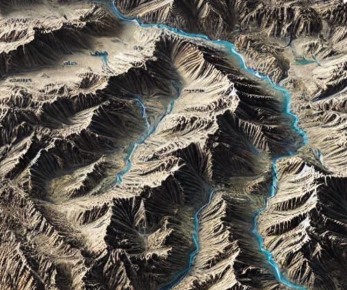
Ukraine Topo Map
Ukraine Topo Map
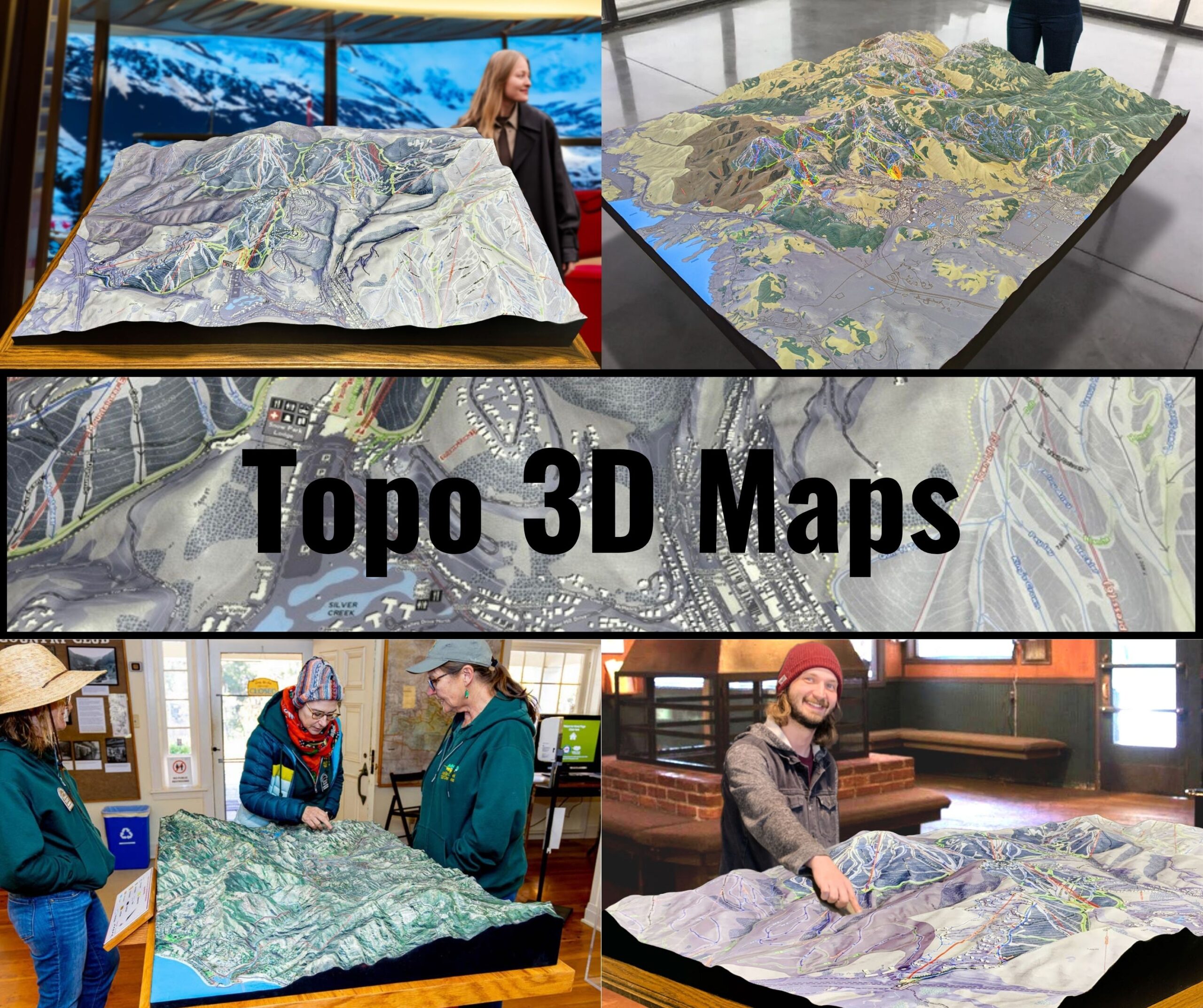
We Build Custom 3D Topo Maps
Exploring Ukraine’s Diverse Landscapes Through Topo Maps: A Journey of Precision and Artistry
Ukraine, with its expansive steppes, soaring Carpathian Mountains, and the iconic Dnieper River, offers a geographical canvas as diverse as it is breathtaking. Topographical maps of Ukraine serve as a vital tool for understanding the country’s physical features, whether you’re planning an outdoor adventure, conducting academic research, or preserving historical and cultural contexts. In this blog, we’ll dive deep into the fascinating world of Ukraine Topo Maps, exploring their intricate details, fabrication processes for 2D and 3D formats, and their significance for diverse audiences.
Why Ukraine’s Geography Demands Exceptional Topo Maps
Ukraine’s geography is a tapestry of contrasts. Its 603,500 square kilometers make it the largest country in Europe, excluding Russia. From the snow-capped peaks of the Carpathians in the west to the fertile plains that earned it the moniker “breadbasket of Europe,” Ukraine is a study in geological variety. The eastern Donbas region is a hub for mining and heavy industry, while the southern coast along the Black Sea boasts stunning cliffs and ancient port cities like Odesa.
This diversity necessitates topographical maps that capture every contour, elevation, and feature with impeccable accuracy. Whether highlighting mountain passes, forested regions, or river basins, these maps serve as indispensable tools for hikers, scientists, urban planners, and even military strategists.
The Fabrication of Ukraine Topo Maps: A Marriage of Technology and Craftsmanship
Creating topographical maps is a process that balances cutting-edge technology with artistic precision. Whether in 2D or 3D, these maps must convey complex geographic details in a format that is both functional and visually engaging.
Crafting 2D Topo Maps of Ukraine
Satellite Data Collection and Aerial Surveys: The process begins with data acquisition, often through satellites like Landsat or drones equipped with LiDAR. These technologies capture elevation data and high-resolution imagery, revealing even the smallest details of Ukraine’s diverse terrain.
Geographic Information Systems (GIS) Integration: Once raw data is collected, it is processed through GIS software like ArcGIS or QGIS. This software converts elevation points into contour lines, shading, and gradient-filled polygons that represent various landforms.
Cartographic Design: A significant step in 2D map creation is the design phase, where raw data is transformed into a readable and aesthetically pleasing format. Designers use color-coding to differentiate elevations, water bodies, vegetation, and urban areas. For instance, the Carpathian Mountain ranges are shaded in gradients of green to brown, while the vast plains of central Ukraine are rendered in earthy tones.
Printing and Publishing: After the map design is finalized, it undergoes quality checks to ensure accuracy and readability. Printing is typically done on high-quality, weather-resistant paper, allowing maps to withstand outdoor use.
Crafting 3D Topo Maps of Ukraine
Enhanced Data Collection: 3D maps require even more detailed elevation data. Techniques like stereophotogrammetry, which involves overlapping aerial images, and advanced LiDAR scanning are used to gather precise measurements of the terrain.
3D Modeling with Specialized Software: Software such as Blender, Rhino, or Autodesk is used to convert elevation data into a digital 3D model. This model is meticulously refined to highlight unique geographic features like river valleys, mountain ridges, and urban topography.
Fabrication Using 3D Printing or CNC Machines: Physical 3D topo maps are created using advanced fabrication techniques. For instance, 3D printing involves layering materials like PLA or resin to build up the terrain, while CNC machines carve features into solid blocks of foam, wood, or metal.
Finishing Touches for Realism: Once fabricated, 3D maps undergo finishing processes such as painting and texturing. Artists use airbrushing techniques to mimic natural features, from the green valleys of the west to the sandy shores of the Black Sea. Polyurethane coatings may be applied for durability, making these maps suitable for display in museums, schools, or as tactile tools for visually impaired users.
Understanding Key Features on Ukraine Topo Maps
Topo maps of Ukraine are rich with details, each symbol, line, and shading conveying critical information. Here are the major features you can expect:
- Contour Lines: These lines represent elevation, with closer lines indicating steeper slopes, such as those found in the Carpathians.
- Hydrography: Rivers, lakes, and wetlands are marked with blue lines and shaded areas. The Dnieper, Ukraine’s lifeblood, is prominently featured.
- Urban Areas: Cities like Kyiv, Kharkiv, and Lviv are marked with distinct patterns and icons, indicating their boundaries and infrastructure.
- Natural Landmarks: National parks like the Askania-Nova Biosphere Reserve and prominent landforms like Hoverla, the highest peak in Ukraine, are highlighted.
How Ukraine Topo Maps Support Adventurers and Professionals
The utility of topographical maps extends far beyond navigation. In Ukraine, these maps are essential tools for various industries and activities:
- Hiking and Mountaineering: Outdoor enthusiasts use topo maps to explore the Carpathians, plan routes to summits, and locate camping sites.
- Agriculture: Farmers rely on topo maps to understand soil erosion, water flow, and land suitability for crops.
- Urban Planning: Planners and architects use detailed maps to design sustainable cities and manage infrastructure development.
- Environmental Conservation: Conservationists employ topo maps to monitor deforestation, plan protected areas, and restore wetlands.
- Military and Strategic Applications: Historically, topo maps have played a critical role in military planning and operations, especially during conflicts in Ukraine’s eastern regions.
The Role of Technology in Enhancing Ukraine’s Topo Maps
Technological advancements have revolutionized how topo maps are created, accessed, and utilized. Today, digital platforms allow users to interact with maps in real-time, making them more dynamic and user-friendly.
- Online Mapping Tools: Websites like OpenTopoMap and Google Earth offer interactive views of Ukraine’s terrain, allowing users to zoom in on specific areas and switch between topographic and satellite views.
- Augmented Reality (AR): AR apps can overlay topo maps onto live camera feeds, helping users visualize landscapes during hiking or urban exploration.
- 3D Printing Accessibility: As 3D printing becomes more affordable, individuals and institutions can create custom maps tailored to specific projects or locations.
Ukraine Topo Maps: A Cultural and Historical Perspective
Topo maps are more than tools—they are historical documents that preserve Ukraine’s cultural and geographic legacy. Over centuries, cartographers have chronicled changes in Ukraine’s landscape, from the expansion of urban centers to the shifting courses of rivers. These maps provide insights into historical events, such as military campaigns during World War II, when detailed maps of the Eastern Front were critical for strategic planning.
Modern topo maps continue this tradition, serving as a record of Ukraine’s ongoing evolution. They reflect changes brought about by climate shifts, urbanization, and environmental conservation efforts.
The Future of Topo Maps in Ukraine
As technology advances, the future of topo maps in Ukraine looks promising. Enhanced satellite imagery, real-time data integration, and innovations in 3D modeling will further improve the accuracy and usability of these maps. Additionally, there is a growing trend toward creating interactive digital maps that allow users to overlay historical data, weather patterns, and even population demographics.
In the educational sector, 3D topo maps are becoming a valuable resource for teaching geography, geology, and history, offering students a tactile and engaging way to explore Ukraine’s terrain.
Bringing Ukraine’s Landscape to Life
Whether in 2D or 3D, Ukraine topo maps are a confirmation to the beauty and complexity of the country’s geography. From the wind-swept steppes to the serene Carpathian valleys, these maps bring Ukraine’s diverse landscapes to life, serving as indispensable tools for exploration, education, and preservation.
By combining cutting-edge technology with artistic craftsmanship, mapmakers are not just creating functional tools—they’re crafting works of art that tell the story of Ukraine’s land, its people, and its enduring spirit. Whether you’re holding a printed map on a hiking trail or marveling at a 3D relief in a museum, these topo maps are a gateway to discovering the heart of Ukraine.
Check out WhiteClouds’ 3D Maps for more information on Ukraine topo maps.

