Top 10 Largest Deserts on Earth
Top 10 Largest Deserts on Earth
WhiteClouds builds 3D Raised Relief Maps
Deserts are vast, arid landscapes that cover nearly one-third of the Earth’s land surface. These regions, defined by their lack of precipitation, are as diverse as they are expansive, ranging from icy tundras to sun-scorched sand dunes. The world’s largest deserts hold fascinating stories of survival, exploration, and natural history. This list explores the ten largest deserts on Earth, highlighting their immense size, unique features, and the stories they tell about our planet’s past and present.
1. Antarctic Desert – 5.5 Million Square Miles
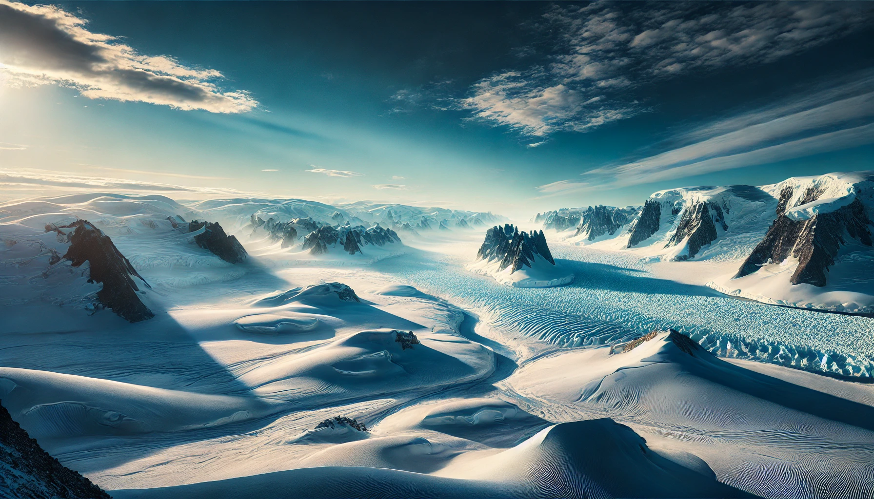
The Antarctic Desert is the largest desert on Earth, covering 5.5 million square miles. Despite its icy surface, it qualifies as a desert due to its extreme aridity, with less than two inches of precipitation annually. The Antarctic is a frozen wilderness of glaciers, ice sheets, and windswept plains, with temperatures plummeting to -128.6°F, the coldest ever recorded on Earth. Its ice holds 70% of the planet’s freshwater, and its ecosystem supports unique life forms like penguins, seals, and hardy microorganisms. Human history in Antarctica is marked by exploration and endurance. Early expeditions, such as Ernest Shackleton’s harrowing 1914 journey, faced unimaginable hardships in this hostile environment. Scientists today study its ice cores to unlock the history of Earth’s climate, making the Antarctic Desert a vital key to understanding global warming.
2. Arctic Desert – 5.4 Million Square Miles
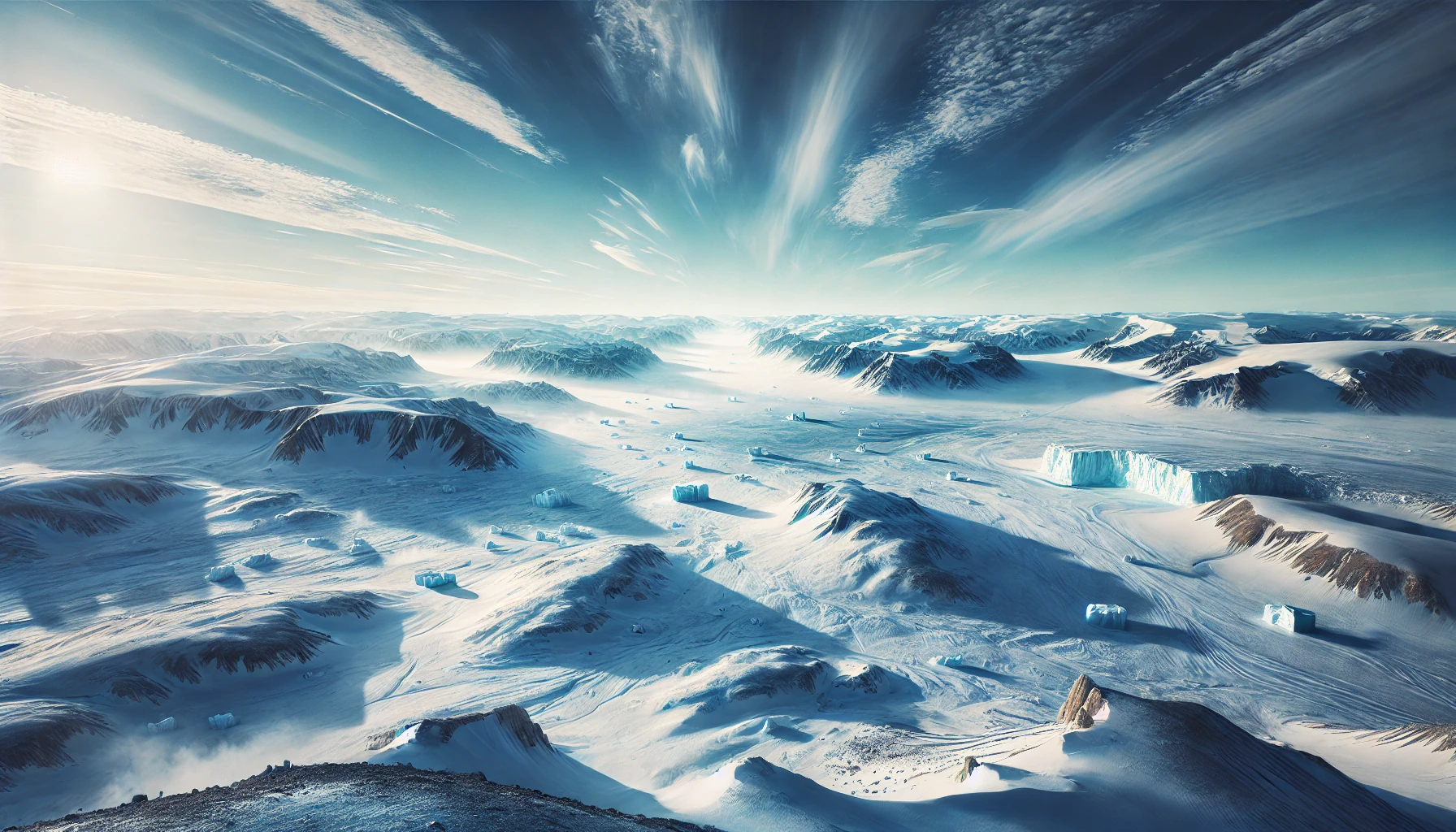
The Arctic Desert, spanning 5.4 million square miles, covers the northernmost regions of the planet, including parts of Greenland, Canada, Russia, and Norway. Its icy expanse includes permafrost plains, ice-covered seas, and towering glaciers. Like its southern counterpart, it receives minimal precipitation and supports a fragile ecosystem. Polar bears, Arctic foxes, and migratory birds thrive here, but the melting ice caused by climate change threatens their survival. The Inuit peoples have adapted to this extreme environment for millennia, relying on traditional knowledge to navigate its challenges. The Arctic Desert has also played a significant role in exploration, with legendary stories such as Roald Amundsen’s successful navigation of the Northwest Passage. Today, its vast resources, including oil and natural gas, make it a focal point for geopolitical interest and environmental concern.
3. Sahara Desert – 3.6 Million Square Miles
The Sahara Desert, covering 3.6 million square miles across North Africa, is the world’s largest hot desert. Its iconic golden dunes, rocky plateaus, and oases create a striking and diverse landscape. Temperatures can soar to 136°F, while nighttime brings freezing conditions. The Sahara has been a cradle of human civilization, with ancient rock art and archaeological sites revealing a history of thriving communities before the desertification began around 5,000 years ago. The Tuareg and Bedouin peoples still navigate its vast expanses using time-honored methods. Anecdotes of camel caravans and the legendary Timbuktu trade routes evoke the romance and peril of life in this immense desert. The Sahara’s sands also hold hidden secrets, including fossilized dinosaur remains and underground aquifers that could support future generations.
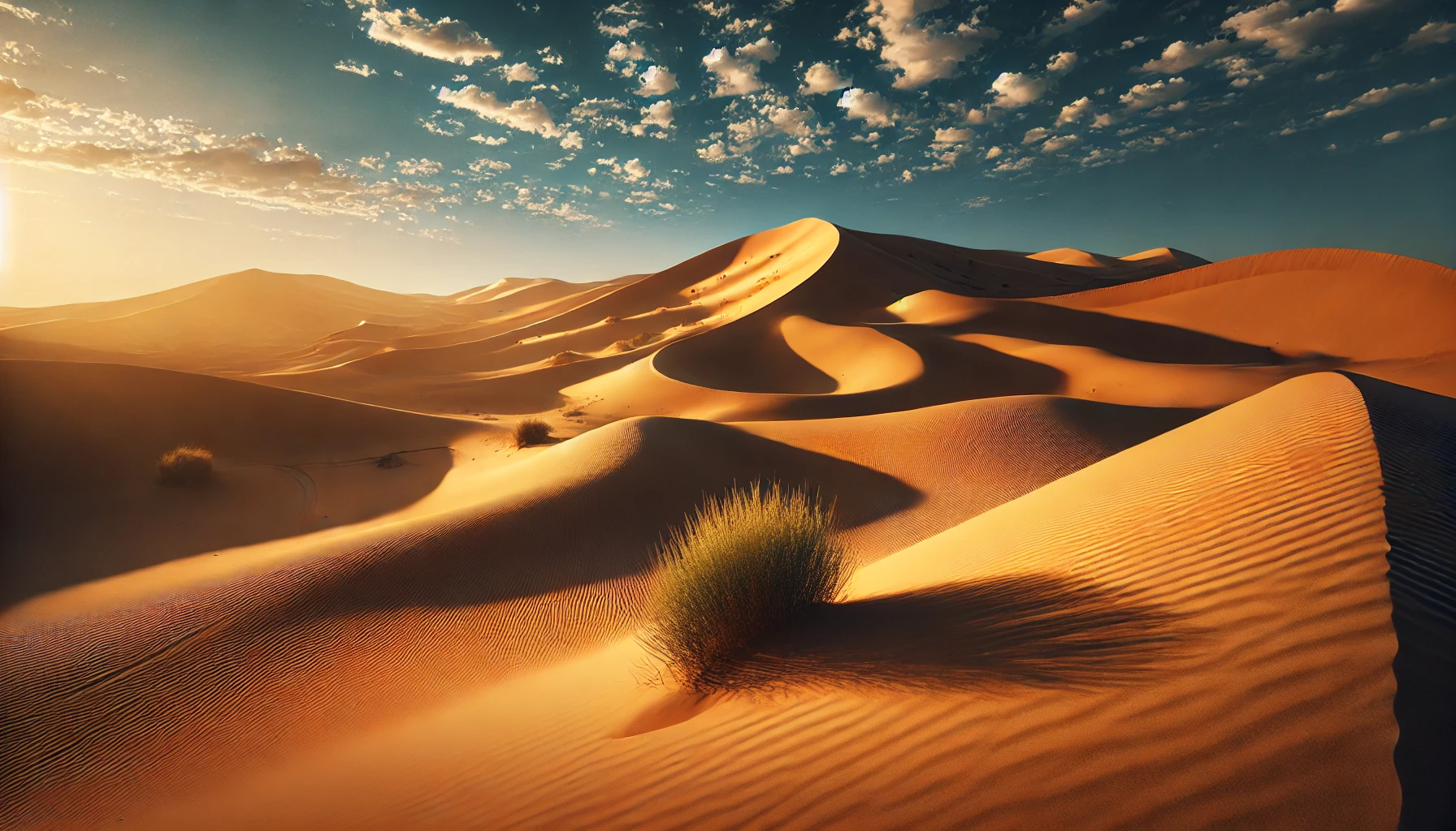
4. Arabian Desert – 1.0 Million Square Miles
The Arabian Desert, stretching 1.0 million square miles across the Arabian Peninsula, is a vast expanse of sand dunes, gravel plains, and salt flats. The Rub’ al Khali, or Empty Quarter, is the largest continuous sand desert in the world, with dunes reaching heights of 800 feet. The region has been a hub of trade and culture for centuries, home to ancient cities like Petra and Mecca. Modern oil discoveries have transformed the Arabian Desert into a center of global energy production. Despite its harsh climate, the desert supports wildlife such as oryx and sand cats, as well as resilient Bedouin communities. The Arabian Nights tales are steeped in the mystique of this landscape, which continues to inspire explorers and writers.
5. Gobi Desert – 500,000 Square Miles
The Gobi Desert spans 500,000 square miles across Mongolia and northern China. Known for its harsh winters and dramatic temperature swings, the Gobi is a cold desert dominated by gravel plains and rocky outcrops. It is famously home to fossilized dinosaur eggs and remains, discovered during the 1920s by paleontologist Roy Chapman Andrews, who inspired the character of Indiana Jones. The Silk Road, a vital trade route, crossed this arid expanse, leaving behind ruins of ancient cities and tales of merchants who braved its challenges. The Gobi remains culturally significant, with nomadic herders still traversing its rugged terrain.
6. Kalahari Desert – 360,000 Square Miles
The Kalahari Desert, spanning 360,000 square miles across southern Africa, is a semi-arid savanna known for its red sands and diverse wildlife. Unlike many deserts, the Kalahari supports permanent rivers and seasonal vegetation, allowing species like lions, elephants, and meerkats to thrive. The San people, one of the world’s oldest cultures, have lived in the Kalahari for tens of thousands of years, preserving traditions of storytelling and survival. Modern conservation efforts, including game reserves, aim to protect this unique desert ecosystem. The Kalahari’s striking landscapes and abundant wildlife have made it a favorite destination for ecotourism and nature documentaries.
7. Patagonian Desert – 260,000 Square Miles
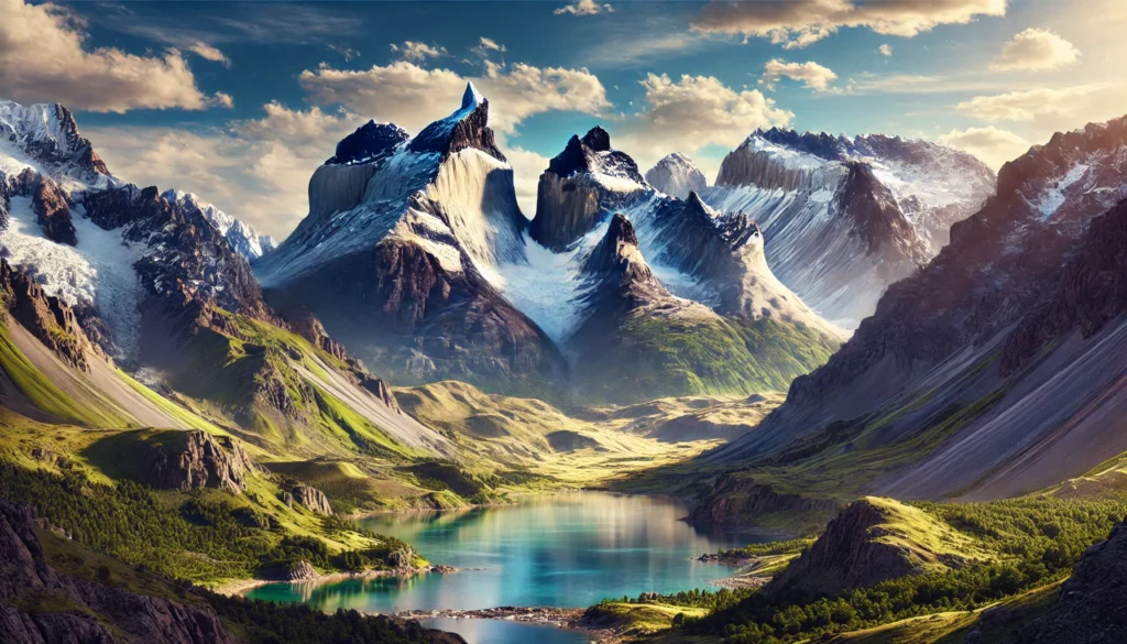
The Patagonian Desert, also known as the Patagonian Steppe, covers 260,000 square miles in Argentina and Chile. This cold desert is characterized by sweeping plains, dramatic plateaus, and the Andes Mountains to the west. The region’s windswept terrain supports hardy species like guanacos and rheas, as well as sheep farming, which has shaped local economies. Anecdotes of explorers like Charles Darwin, who documented the desert’s unique biodiversity during his voyage on the HMS Beagle, highlight its scientific importance. The Patagonian Desert remains a place of stunning beauty and ecological significance.
8. Great Victoria Desert – 220,000 Square Miles
Australia’s Great Victoria Desert spans 220,000 square miles, making it the country’s largest desert. This arid landscape features sand dunes, salt lakes, and sparse vegetation, with temperatures ranging from scorching summers to chilly winters. Aboriginal peoples, including the Pitjantjatjara and Ngaanyatjarra, have inhabited the desert for thousands of years, developing deep spiritual connections to the land. The Great Victoria Desert is also home to unique wildlife, such as the thorny devil lizard. Modern challenges, including mining and climate change, threaten its delicate ecosystem.
9. Syrian Desert – 200,000 Square Miles
The Syrian Desert, covering 200,000 square miles across Syria, Jordan, Iraq, and Saudi Arabia, is a blend of sand dunes and rocky plateaus. Its history is intertwined with ancient civilizations, as the desert served as a trade route linking the Mediterranean to Mesopotamia. Palmyra, a UNESCO World Heritage Site, stands as a testament to the region’s cultural significance. Despite its arid conditions, the Syrian Desert supports resilient wildlife and traditional Bedouin lifestyles.
10. Great Basin Desert – 190,000 Square Miles
The Great Basin Desert, spanning 190,000 square miles across the western United States, is the largest desert in North America. This cold desert is characterized by sagebrush-covered plains, isolated mountain ranges, and unique geological formations like Utah’s Bonneville Salt Flats. Native American tribes, including the Paiute and Shoshone, have long lived in harmony with the desert’s resources. The Great Basin’s stark beauty and diverse ecosystems make it a fascinating region for both scientists and adventurers.
The world’s largest deserts are vast, diverse, and endlessly fascinating. From icy polar expanses to sun-scorched sands, each desert tells a story of resilience, adaptation, and the interplay between nature and humanity. These arid landscapes, though harsh, are vital ecosystems and sources of inspiration, offering lessons about survival and the enduring power of the natural world.
More Great Top 10’s
Deserts and Maps
Learn more about Maps
- Topographical Maps: Representation of the physical features of a region or area.
- Contour Maps: Representation of the contours of the land surface or ocean floor.
- Raised Relief Maps: Representation of land elevations with raised features indicating landforms.
- Terrain Maps: Representation of the physical features of a terrain or landmass.
- USGS Topographic Maps: Representation of topographic features and land elevations based on USGS data.
- USGS Historical Topographic Maps: Representation of historical topographic maps created by the USGS.
- Watershed Maps: Representation of the areas where water flows into a particular river or lake.
- Elevation Maps: Representation of land and water elevations with high precision.
- Physical Maps: Representation of physical features of the Earth’s surface such as landforms, oceans, and plateaus.
- Bathymetric Maps: Representation of the topography and features of the ocean floor.
- NOAA Maps: Representation of atmospheric, oceanographic, and environmental data by NOAA.
- Nautical Maps: Representation of the underwater features and depth of an area for navigation purposes.
- Geologic Maps: Representation of the geologic features of an area such as rock types, faults, and folds.
- Satellite Maps: Representation of earth from high-definition satellite imagery.
Contact us today to learn more about our services and how we can help you achieve your goals.

