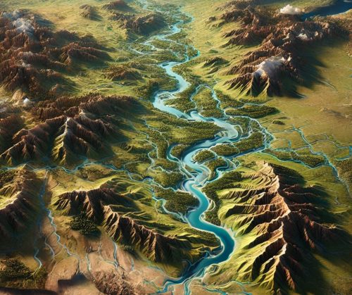
Missouri River Watershed Map
Missouri River Watershed Map
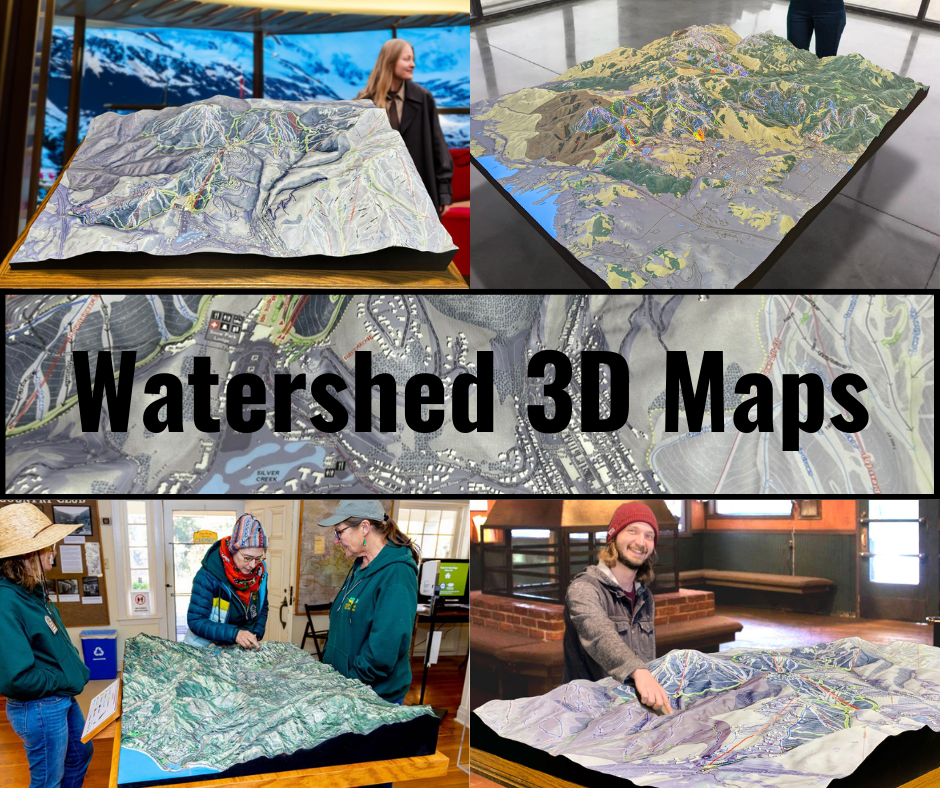
We Build Custom 3D Watershed Maps
Missouri River Watershed Map: Charting the Course of America’s Longest River System
The Missouri River Watershed is a sprawling hydrological network that encompasses over 500,000 square miles, stretching across ten U.S. states and two Canadian provinces. As the largest tributary of the Mississippi River and the longest river in North America, the Missouri is often called the “Big Muddy” for its sediment-rich waters. Its watershed, a crucial component of the continent’s water system, is a lifeline for agriculture, wildlife, industry, and recreation. Missouri River Watershed maps serve as indispensable tools for understanding this vast system, enabling better resource management, ecological conservation, and flood control.
Mapping the Reach of America’s Longest River System
The Missouri River begins in the Rocky Mountains of western Montana, where the Jefferson, Madison, and Gallatin rivers converge. From there, it flows more than 2,300 miles east and south, passing through states such as North Dakota, South Dakota, Nebraska, Iowa, Kansas, and Missouri before joining the Mississippi River near St. Louis. The watershed covers parts of the Great Plains and stretches into the Canadian provinces of Alberta and Saskatchewan, making it an international system with far-reaching implications.
Maps of the Missouri River Watershed reveal the intricate network of tributaries that feed the main river, including the Yellowstone, Platte, and Kansas rivers. These tributaries play vital roles in the ecosystem, transporting water, sediment, and nutrients across the landscape. The watershed also includes diverse terrains, from the rugged mountains and arid plains of Montana to the fertile farmlands of Iowa and Missouri.
Watershed maps not only depict the geographical extent of the Missouri River system but also provide valuable insights into how water flows across the land. They highlight areas prone to flooding, regions of agricultural significance, and critical habitats for wildlife. By visualizing the topography and hydrology of the watershed, these maps help researchers, policymakers, and conservationists address challenges such as water scarcity, pollution, and habitat loss.
The Missouri River Watershed as a Hub of Biodiversity
The Missouri River Watershed is home to a remarkable array of ecosystems, from alpine forests and prairie grasslands to wetlands and riverine habitats. These ecosystems support a diverse range of species, many of which are integral to the region’s ecological balance.
The river itself serves as a habitat for numerous fish species, including paddlefish, catfish, and sturgeon. Wetlands along the river are critical for migratory birds, such as sandhill cranes and waterfowl, which use the watershed as a stopover during their long journeys. The prairie ecosystems within the watershed provide habitat for iconic species like bison, prairie dogs, and sharp-tailed grouse.
Mapping these ecosystems is essential for conservation efforts. Missouri River Watershed maps identify biodiversity hotspots, areas of ecological importance, and regions at risk from human activities. Conservationists use this information to design strategies for preserving habitats, protecting endangered species, and restoring degraded ecosystems.
The Role of the Missouri River Watershed in Agriculture and Industry
The Missouri River Watershed is often referred to as the breadbasket of America due to its fertile soils and extensive agricultural activity. Farmers within the watershed grow crops such as corn, wheat, soybeans, and alfalfa, which are critical to both domestic consumption and global exports. The river itself provides water for irrigation, enabling agriculture to thrive even in the semi-arid regions of the Great Plains.
Industry also relies heavily on the watershed. Hydropower dams along the Missouri generate electricity for millions of people, while the river serves as a major transportation route for goods like grain, coal, and petroleum. Cities along the river, including Kansas City and Omaha, depend on the watershed for drinking water, industrial processes, and recreational opportunities.
Watershed maps are essential tools for balancing the competing demands of agriculture, industry, and conservation. They help identify areas where water resources are being overused, enabling policymakers to implement sustainable practices that protect the river system while supporting economic growth.
Flood Management and the Missouri River Watershed
Flooding is a natural part of the Missouri River’s lifecycle, but it poses significant challenges to the communities and industries that depend on the river. The Missouri’s floods are often caused by snowmelt from the Rocky Mountains, heavy rainfall in the Great Plains, or ice jams during the spring thaw. These floods can inundate farmlands, destroy infrastructure, and displace communities.
Flood management in the Missouri River Watershed relies heavily on maps that depict topography, floodplains, and hydrological patterns. These maps help engineers design levees, dams, and reservoirs to control water flow and mitigate the impact of floods. For example, the U.S. Army Corps of Engineers uses detailed watershed maps to manage the operation of major dams along the Missouri, such as the Fort Peck Dam in Montana and the Gavin’s Point Dam in South Dakota.
Digital watershed maps have revolutionized flood management by integrating real-time data on river levels, precipitation, and snowpack. These maps enable more accurate predictions of flooding events, allowing communities to prepare and respond more effectively. They also provide valuable information for long-term planning, helping to reduce the economic and environmental impacts of future floods.
Fabricating Missouri River Watershed 3D Maps: Bringing the Landscape to Life
Creating a 3D map of the Missouri River Watershed is a complex process that combines scientific data, advanced technology, and artistic craftsmanship. These maps offer a three-dimensional view of the watershed’s terrain, providing a tangible representation of its vastness and complexity. They are invaluable tools for education, planning, and conservation, helping people visualize the interconnectedness of the river system.
The process begins with the collection of accurate topographical and hydrological data. Organizations like the U.S. Geological Survey (USGS) and the National Oceanic and Atmospheric Administration (NOAA) provide detailed datasets that include elevation, water flow, and land cover information. This data is then processed using geographic information system (GIS) software to create a digital model of the watershed.
Once the digital model is complete, the fabrication process begins. WhiteClouds, a leader in 3D mapping, uses cutting-edge 3D printing technology to transform the digital model into a physical object. The printer builds the map layer by layer, using materials like PLA (polylactic acid) or resin. Each layer represents a specific elevation, allowing the map to accurately replicate the contours of the landscape.
After the base structure is printed, the map undergoes a meticulous finishing process. Artists hand-paint the map to reflect the various features of the watershed, such as rivers, forests, and urban areas. They use airbrushing techniques to create smooth transitions between different terrain types, giving the map a realistic appearance.
The final step is applying a protective coating, such as polyurea or polyurethane, to ensure the map’s durability. This coating protects the map from damage caused by handling or environmental exposure, making it suitable for display in museums, educational institutions, or public spaces.
The result is a stunning 3D map that brings the Missouri River Watershed to life, offering a unique perspective on its geography and importance.
Advancing Science and Education with Missouri River Watershed Maps
Missouri River Watershed maps are not only practical tools for planning and conservation but also powerful educational resources. They help students, researchers, and the public understand the complexities of the river system, from its role in shaping the landscape to its impact on human societies.
In classrooms, these maps provide a hands-on way to explore geography, ecology, and hydrology. Students can trace the course of the Missouri River, identify its tributaries, and learn about the diverse ecosystems within the watershed. 3D maps, in particular, enhance learning by offering a tactile and immersive experience that helps students grasp the scale and interconnectedness of the river system.
For policymakers and planners, watershed maps are essential for making informed decisions about land use, water management, and infrastructure development. They provide a clear visual representation of the challenges and opportunities within the watershed, enabling more effective strategies for balancing environmental protection with economic growth.
Looking Ahead: The Future of the Missouri River Watershed
The Missouri River Watershed faces significant challenges in the coming decades, including the impacts of climate change, population growth, and increased demand for water resources. Rising temperatures and changing precipitation patterns are expected to alter the river’s flow, increasing the risk of both droughts and floods. These changes will have far-reaching consequences for agriculture, industry, and communities within the watershed.
Watershed maps will continue to play a crucial role in addressing these challenges. By providing detailed and accurate information about the landscape and hydrology, these maps enable better planning and decision-making. They help identify areas at risk from climate change, guide conservation efforts, and support the development of sustainable water management practices.
As we look to the future, the Missouri River Watershed will remain a vital part of America’s ecological and economic landscape. By leveraging the power of maps—both 2D and 3D—we can ensure that this iconic river system is protected and preserved for generations to come.
Whether used for education, conservation, or planning, Missouri River Watershed maps are a confirmation to the power of visualization in understanding and managing the natural world. They bring the complexity of the watershed into focus, helping us appreciate its beauty, its challenges, and its importance in shaping the history and future of the United States.
Check out WhiteClouds’ 3D Maps for more information on Missouri River watershed maps.

