Exploring Israel’s Key Geographical Highlights in 3D Relief
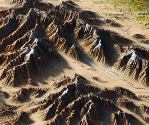
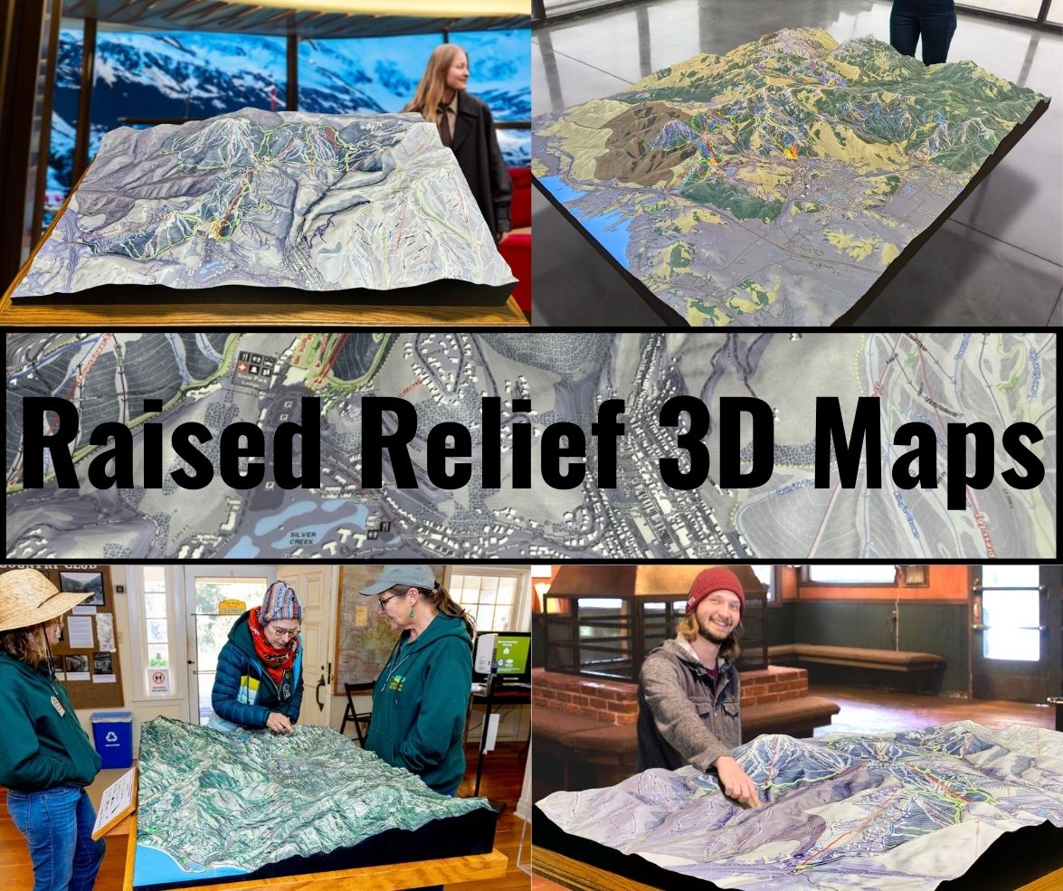
The raised relief map of Israel captures the nation’s most iconic geographical features, allowing users to explore its terrain in vivid detail.
- Mount Hermon: Rising in the north, Mount Hermon is Israel’s highest peak and a symbol of natural beauty. On a raised relief map, its prominence serves as a northern anchor for the nation’s geography.
- The Dead Sea: The lowest point on Earth, the Dead Sea is an essential feature. Its basin, bordered by steep cliffs and arid desert, is rendered with precision, showing the dramatic drop in elevation.
- The Jordan Rift Valley: This geological feature, part of the Great Rift Valley system, is highlighted as a defining natural corridor. It stretches from the Sea of Galilee in the north to the Red Sea in the south.
- The Negev Desert: The expanse of the Negev, with its craters and wadis, comes to life with intricate textures that showcase its rugged and barren beauty.
- The Mediterranean Coastline: Israel’s coastline, with major cities like Tel Aviv and Haifa, is depicted in stunning detail, offering a clear view of its proximity to inland features.
Bringing Israel’s History to Life with Raised Relief Maps
Israel’s rich history is deeply intertwined with its geography. A raised relief map is not just a tool for understanding topography; it’s a lens into the past.
- Biblical Landmarks: Cities like Jerusalem, Bethlehem, and Nazareth are marked with care, illustrating their location in relation to valleys, mountains, and waterways.
- Trade Routes: Ancient routes like the Via Maris and the King’s Highway are brought into context, showing how natural barriers and open plains influenced commerce and migration.
- Modern Borders and Conflict Zones: Features such as the Golan Heights and the West Bank are presented in their geographical context, providing insights into their strategic significance.
Educational Value: Engaging Students with Hands-On Geography
For educators, the Israel raised relief map is an invaluable resource. Its three-dimensional design makes abstract concepts like elevation and watershed dynamics easier to understand. Students can physically trace the Jordan River’s path, observe the elevation differences between Jerusalem and the Dead Sea, and see how the geography has influenced Israel’s development.
These maps also inspire conversations about conservation and the challenges of managing natural resources in a region with limited water and arable land. By visualizing the land’s fragility and resilience, students gain a deeper appreciation for the region’s environmental and cultural significance.
An Artistic and Functional Addition to Homes and Institutions
Raised relief maps of Israel are not only educational tools but also works of art. Their intricate details and vibrant colors make them a stunning addition to homes, offices, and institutions. Mounted in a study or displayed in a museum, they serve as conversation starters, evoking a sense of wonder and curiosity.
For those with personal ties to Israel, these maps offer a way to connect with the land. They serve as reminders of travels, ancestral roots, or a spiritual journey, providing a tactile representation of a place that holds deep significance.
A Treasure for Collectors and Enthusiasts
Collectors of maps and geographical artifacts value raised relief maps for their craftsmanship and storytelling. An Israel raised relief map, with its unique blend of natural beauty and historical significance, is a prized addition to any collection. For travelers, it offers a way to relive adventures and explore new paths, while for historians, it provides a tangible link to the past.
The Enduring Appeal of Israel in Raised Relief
Israel’s geography is a study in contrasts, from its arid deserts to its lush valleys, and its raised relief maps capture this essence beautifully. These maps are more than just representations of the land—they are gateways to exploration, education, and connection. Whether displayed as art, used as a teaching tool, or treasured as a personal keepsake, they provide a multidimensional view of one of the world’s most fascinating regions.
In an age where digital tools dominate, the tactile nature of raised relief maps reminds us of the enduring value of handcrafted, tangible representations of our world. For Israel, a land that blends ancient history with modern vitality, there is no better way to experience its landscapes than through the contours of a raised relief map.

