Top 10 Largest Ski Hills in the World
Top 10 Largest Ski Hills in the World
WhiteClouds builds 3D Raised Relief Maps
Ski hills are the ultimate playgrounds for winter enthusiasts, combining breathtaking heights with thrilling descents. They offer more than just runs; they are landscapes of adventure, rich with stories of exploration and alpine beauty. The largest ski hills in the world captivate skiers and snowboarders with their vast terrain, diverse trails, and spectacular vistas. These snow-capped giants are destinations for adventurers, from novices seeking gentle slopes to experts carving down black diamonds. Here are the top 10 largest ski hills in the world, celebrated for their scale, history, and unforgettable experiences.
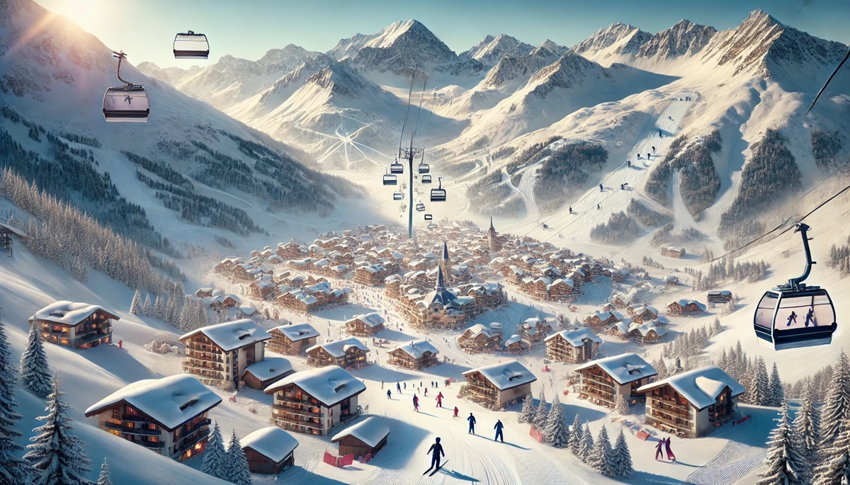
#1: Les 3 Vallées, France – 10,500 feet
Les 3 Vallées is the world’s largest interconnected ski area, covering over 370 miles of slopes. Located in the French Alps, it links famous resorts like Courchevel, Méribel, and Val Thorens, offering unparalleled variety and terrain. Its highest peak reaches 10,500 feet, with runs for every skill level, from beginners to extreme thrill-seekers.
Les 3 Vallées has a storied history, evolving from small alpine villages into one of the most prestigious ski destinations in the world. Visitors recount tales of discovering hidden off-piste gems and enjoying après-ski in picturesque chalets. The seamless lift system and stunning alpine vistas make it a bucket-list destination for skiers worldwide.
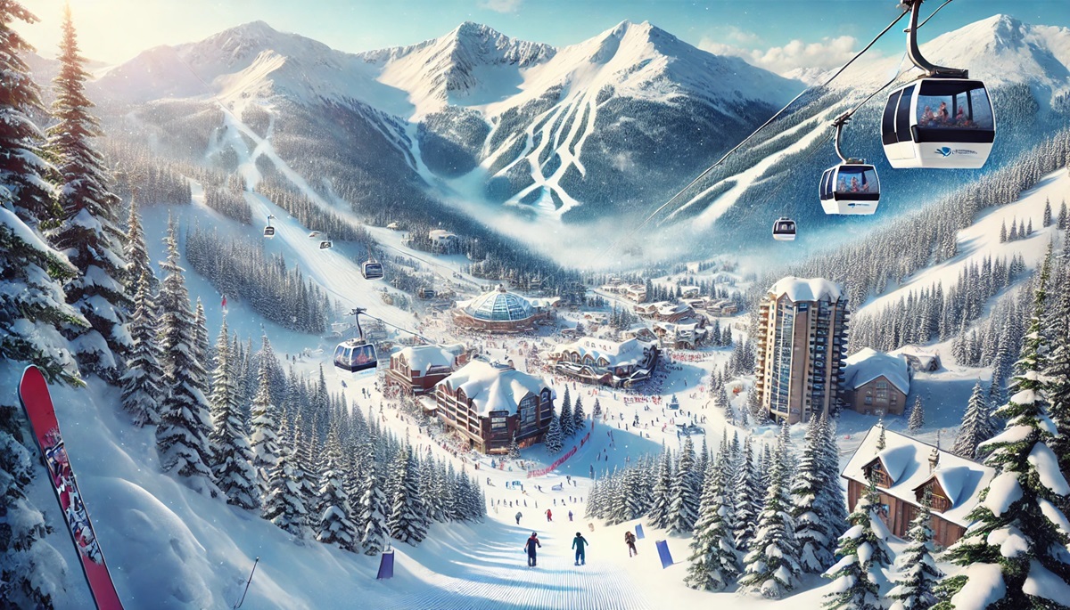
#2: Whistler Blackcomb, Canada – 7,494 feet
Nestled in British Columbia, Whistler Blackcomb is North America’s largest ski resort, with over 8,000 acres of terrain and a peak elevation of 7,494 feet. The two mountains are connected by the record-breaking Peak 2 Peak Gondola, offering breathtaking views of the Coast Range.
Whistler Blackcomb was a key venue for the 2010 Winter Olympics and remains a symbol of Canadian skiing. Stories of powder-filled bowls and thrilling alpine runs draw adventurers from across the globe. Its vibrant village and year-round activities add to its allure.
#3: Zermatt-Matterhorn, Switzerland – 12,739 feet
Zermatt-Matterhorn offers skiing at the foot of the iconic Matterhorn, with a peak elevation of 12,739 feet. Spanning Switzerland and Italy, it provides year-round skiing on glaciers and over 223 miles of slopes.
Zermatt’s charm lies in its car-free village and blend of Swiss and Italian culture. Tales of skiing beneath the Matterhorn’s shadow add to its mystique. The resort is steeped in alpine history, attracting mountaineers and skiers since the 19th century.
#4: Arlberg, Austria – 9,223 feet
The Arlberg region in Austria is the birthplace of modern skiing, offering over 190 miles of runs. St. Anton, Lech, and Zürs are among the interconnected villages, creating a seamless ski experience.
Arlberg’s legacy as the cradle of alpine skiing is celebrated in its museums and festivals. Anecdotes of challenging runs like the Valluga and luxurious après-ski in Lech highlight its appeal to both adventurers and luxury seekers.
#5: Park City Mountain Resort, USA – 10,000 feet
Park City Mountain Resort in Utah is the largest ski resort in the United States, covering over 7,300 acres with a peak elevation of 10,000 feet. Its terrain caters to all skill levels and includes Olympic venues.
The resort’s mining town roots add a layer of history, with visitors sharing stories of exploring historic tunnels and skiing world-class powder. The Sundance Film Festival adds a cultural dimension to this iconic destination.
#6: Espace Killy, France – 11,319 feet
Espace Killy, encompassing Tignes and Val d’Isère, is named after Olympic champion Jean-Claude Killy. With a peak elevation of 11,319 feet, it offers over 186 miles of slopes and world-renowned off-piste terrain.
Visitors share tales of conquering the Face de Bellevarde or skiing through the glacier. Its combination of history, challenge, and charm makes it a favorite among seasoned skiers.
#7: Verbier, Switzerland – 10,826 feet
Verbier is a paradise for expert skiers, with challenging runs and a peak elevation of 10,826 feet. Part of the 4 Vallées, it offers over 255 miles of terrain and some of the world’s best freeride opportunities.
The resort is a hub for adrenaline junkies, with tales of extreme descents and heli-skiing adventures. Its vibrant après-ski scene and breathtaking views of Mont Blanc add to its reputation.
#8: Vail, USA – 11,570 feet
Vail in Colorado is one of America’s most famous resorts, with 5,300 acres of terrain and a peak elevation of 11,570 feet. Its Back Bowls are legendary for their expansive powder fields.
Vail’s charming alpine-style village offers luxury accommodations and dining. Stories of epic powder days and first tracks in the bowls are part of its enduring allure.
#9: Niseko United, Japan – 4,291 feet
Niseko United in Hokkaido is renowned for its light, fluffy powder and unique cultural experience. With a peak elevation of 4,291 feet, it offers over 55 miles of terrain.
The resort’s geothermal hot springs (onsen) and night skiing under floodlights make it a standout destination. Stories of deep powder days and cultural immersion highlight its charm.
#10: Laax, Switzerland – 9,642 feet
Laax is a haven for freestyle skiers and snowboarders, with its world-class parks and a peak elevation of 9,642 feet. The resort offers over 140 miles of runs and stunning views of the Swiss Alps.
Laax hosts international competitions and boasts a vibrant snowboarding culture. Anecdotes of shredding its parks and enjoying its modern amenities make it a favorite among young skiers.
These ski hills represent the pinnacle of alpine adventure, offering vast terrain, rich histories, and unforgettable experiences. From the iconic Matterhorn to the deep powder of Niseko, they embody the thrill and beauty of skiing.
More Great Top 10’s
Ski Hills and Maps
Learn more about Maps
- Topographical Maps: Representation of the physical features of a region or area.
- Contour Maps: Representation of the contours of the land surface or ocean floor.
- Raised Relief Maps: Representation of land elevations with raised features indicating landforms.
- Terrain Maps: Representation of the physical features of a terrain or landmass.
- USGS Topographic Maps: Representation of topographic features and land elevations based on USGS data.
- USGS Historical Topographic Maps: Representation of historical topographic maps created by the USGS.
- Watershed Maps: Representation of the areas where water flows into a particular river or lake.
- Elevation Maps: Representation of land and water elevations with high precision.
- Physical Maps: Representation of physical features of the Earth’s surface such as landforms, oceans, and plateaus.
- Bathymetric Maps: Representation of the topography and features of the ocean floor.
- NOAA Maps: Representation of atmospheric, oceanographic, and environmental data by NOAA.
- Nautical Maps: Representation of the underwater features and depth of an area for navigation purposes.
- Geologic Maps: Representation of the geologic features of an area such as rock types, faults, and folds.
- Satellite Maps: Representation of earth from high-definition satellite imagery.

