Top 10 Largest Glaciers in the World
Top 10 Largest Glaciers in the World
WhiteClouds builds 3D Raised Relief Maps
Glaciers are awe-inspiring natural wonders, massive rivers of ice that flow slowly across the landscape. These colossal ice formations are not only breathtaking but also vital to Earth’s climate system, acting as reservoirs of freshwater and indicators of global climate change. From the towering heights of Antarctica to the rugged mountains of Alaska, glaciers showcase the dynamic interplay between nature and time. Let’s explore the world’s ten largest glaciers, diving into their immense size, unique features, and the fascinating stories they hold.
#1: Lambert Glacier – 8,200 feet
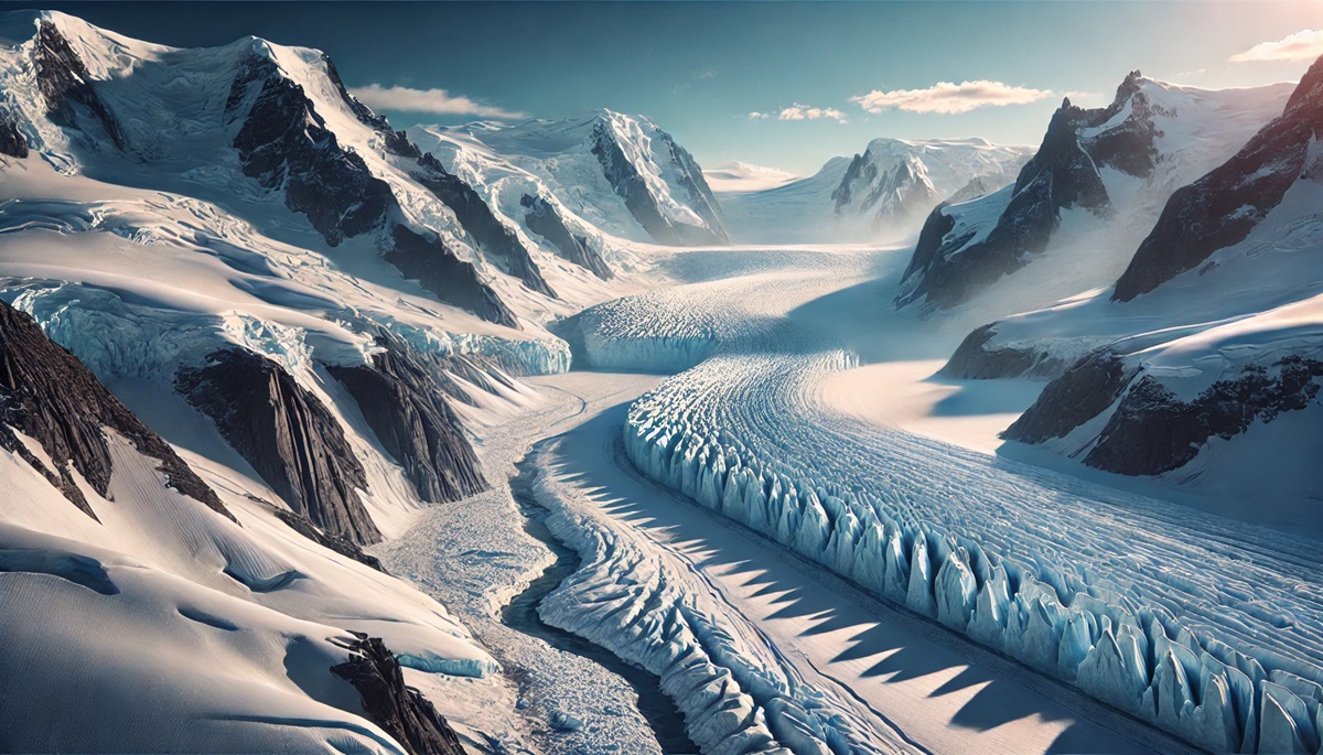
Lambert Glacier in Antarctica is the world’s largest glacier, stretching approximately 250 miles long and 60 miles wide. It plunges to depths of 8,200 feet, making it a colossal force of nature. Flowing from the Antarctic Ice Sheet into the Amery Ice Shelf, Lambert Glacier moves an estimated 2,000 cubic feet of ice per second, contributing significantly to the region’s ice flow.
This glacier was discovered during the 1950s by the Australian Antarctic Division and named after Bruce Lambert, an Australian cartographer. Scientists have studied it extensively, as it plays a critical role in Antarctica’s ice dynamics. Lambert Glacier’s sheer size and beauty highlight the importance of preserving these icy landscapes amid rising global temperatures.
#2: Bering Glacier – 10,000 feet
Located in Alaska, the Bering Glacier is the largest glacier in North America, covering approximately 2,250 square miles. Stretching over 125 miles, it descends from an elevation of 10,000 feet to near sea level. This temperate glacier flows into Vitus Lake, a stunning body of water formed by the glacier’s melting.
The glacier’s retreat over the years has been closely monitored, offering insights into climate change. Its annual surges, where the glacier rapidly advances several feet per day, have fascinated scientists and photographers alike. Native Alaskans have long revered the Bering Glacier as a source of freshwater and cultural significance.
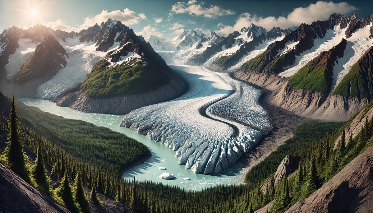
#3: Antarctic Ice Streams (Pine Island and Thwaites) – 7,000 feet
The Pine Island and Thwaites glaciers, located in West Antarctica, are among the largest and fastest-moving ice streams on Earth. These glaciers, reaching heights of 7,000 feet, feed directly into the Amundsen Sea, playing a critical role in global sea-level rise.
Known as the “Doomsday Glaciers,” their rapid melting has raised concerns about the stability of the Antarctic Ice Sheet. Anecdotal accounts from researchers describe dramatic calving events, where massive chunks of ice break off and float into the ocean, highlighting the urgency of understanding their behavior.
#4: Siachen Glacier – 18,875 feet
Nestled in the eastern Karakoram Range, the Siachen Glacier is the world’s highest battleground, with an average elevation of 18,875 feet. Stretching 47 miles, it is the longest glacier in the Himalayas outside the polar regions.
The glacier has been at the center of geopolitical tensions between India and Pakistan, with military outposts established on its icy expanse. Despite its remote and hostile environment, Siachen Glacier is vital for water resources in the region, feeding into the Nubra River.
#5: Jakobshavn Glacier – 7,200 feet
Situated in Greenland, the Jakobshavn Glacier, also known as Sermeq Kujalleq, is one of the fastest-moving glaciers in the world. With a height of 7,200 feet at its source, it flows into Disko Bay, producing massive icebergs, some of which are believed to have contributed to the sinking of the Titanic.
The glacier is a significant contributor to global sea-level rise and has been the subject of numerous scientific studies. Its dynamic movement and towering ice cliffs make it a dramatic and important natural feature.
#6: Vatnajökull Glacier – 6,900 feet
Vatnajökull Glacier in Iceland is Europe’s largest glacier, covering an area of approximately 3,100 square miles. With a maximum height of 6,900 feet, it blankets the country’s southeast, forming ice caps over several active volcanoes, including Grímsvötn.
The glacier has inspired Icelandic folklore, with tales of trolls and mythical creatures said to inhabit its icy depths. It also serves as a major tourist attraction, offering opportunities for ice cave exploration and glacier hiking.
#7: Fedchenko Glacier – 22,000 feet
The Fedchenko Glacier, located in the Pamir Mountains of Tajikistan, is the longest glacier outside the polar regions, stretching 48 miles. With an elevation reaching 22,000 feet, it dominates the high-altitude landscape.
This glacier was discovered in 1878 and named after Russian explorer Alexei Pavlovich Fedchenko. Its isolation and pristine condition make it a vital source of freshwater for the region, feeding rivers that sustain local communities.
#8: Baltoro Glacier – 15,748 feet
In Pakistan’s Karakoram Range, the Baltoro Glacier is one of the most iconic glaciers in the world. Stretching 39 miles, it lies at an average height of 15,748 feet and serves as a gateway to the famous K2 mountain.
The glacier is a popular trekking destination, offering breathtaking views of towering peaks and rugged ice formations. Its cultural and ecological significance make it a symbol of the Karakoram’s wild beauty.
#9: Columbia Glacier – 10,000 feet
The Columbia Glacier in Alaska is a tidewater glacier, descending from heights of 10,000 feet to the Prince William Sound. Over the past few decades, it has retreated significantly, providing a vivid example of climate change in action.
The glacier’s dramatic calving events, where massive icebergs break off into the water, have been captured in documentaries, showcasing the power and fragility of nature. It remains a vital habitat for marine life, despite its changing dynamics.
#10: Perito Moreno Glacier – 9,678 feet
Located in Patagonia, Argentina, the Perito Moreno Glacier is one of the most iconic and accessible glaciers in the world. With a height of 9,678 feet, it spans over 97 square miles and is known for its striking blue ice.
Unlike many glaciers, Perito Moreno is stable, neither retreating nor advancing significantly. Its periodic ruptures, where water pressure forces ice to break dramatically, attract thousands of visitors annually, making it a natural spectacle.
The world’s largest glaciers are more than vast rivers of ice; they are vital ecosystems and powerful symbols of Earth’s dynamic nature. These icy giants hold stories of climate change, human history, and natural beauty, reminding us of the delicate balance of our planet. Exploring their grandeur offers a glimpse into the forces that have shaped our world and continue to influence it today.
More Great Top 10’s
Glaciers and Maps
Glaciers and maps intertwine to tell stories of time and transformation, where frozen rivers carve their paths across continents and maps capture their vast, silent power. A glacier on a map is a symbol of resilience and change, its icy expanse charted with delicate contour lines and shaded patches that hint at the sheer scale of these icy giants. Maps reveal how glaciers snake through rugged mountains, their tongues spilling into valleys or grinding their way toward the sea. They are chronicles of shifting climates, where centuries of advance and retreat are recorded in their boundaries, like a diary of Earth’s evolving temperatures. A map of a glacier doesn’t just show ice; it whispers of ancient snowfall compressed into glittering crystal, of crevasses hidden within the shimmering white. It marks the waterways born from glacial melt, feeding rivers and lakes far downstream, sustaining ecosystems and communities. Maps of glaciers are tools for scientists, adventurers, and dreamers alike, charting treacherous terrains and unlocking secrets buried deep in the frozen archives of Earth’s history. Together, glaciers and maps connect the frozen and the fluid, the past and the future, inviting us to trace the icy veins of a planet constantly in motion.
Learn more about Maps
- Topographical Maps: Representation of the physical features of a region or area.
- Contour Maps: Representation of the contours of the land surface or ocean floor.
- Raised Relief Maps: Representation of land elevations with raised features indicating landforms.
- Terrain Maps: Representation of the physical features of a terrain or landmass.
- USGS Topographic Maps: Representation of topographic features and land elevations based on USGS data.
- USGS Historical Topographic Maps: Representation of historical topographic maps created by the USGS.
- Watershed Maps: Representation of the areas where water flows into a particular river or lake.
- Elevation Maps: Representation of land and water elevations with high precision.
- Physical Maps: Representation of physical features of the Earth’s surface such as landforms, oceans, and plateaus.
- Bathymetric Maps: Representation of the topography and features of the ocean floor.
- NOAA Maps: Representation of atmospheric, oceanographic, and environmental data by NOAA.
- Nautical Maps: Representation of the underwater features and depth of an area for navigation purposes.
- Geologic Maps: Representation of the geologic features of an area such as rock types, faults, and folds.
- Satellite Maps: Representation of earth from high-definition satellite imagery.
Contact us today to learn more about our services and how we can help you achieve your goals.

