Top 10 Largest Seas in the World
Top 10 Largest Seas in the World
WhiteClouds builds 3D Raised Relief Maps
Seas are some of the most fascinating geographical features on Earth, bridging continents, fostering civilizations, and harboring incredible biodiversity. These immense water bodies are distinct from oceans yet play equally vital roles in shaping our planet’s ecosystems and history. Here, we dive into the top 10 largest seas in the world, exploring their depths, unique characteristics, and the stories they tell.
#1: Philippine Sea – 5,000,000 square miles
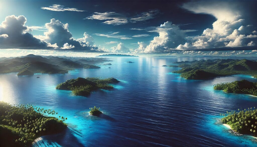
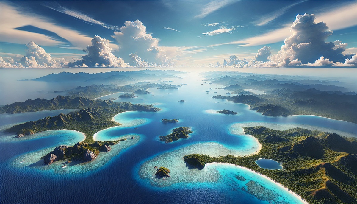
The Philippine Sea, the largest sea in the world, covers an impressive 5,000,000 square miles in the western Pacific Ocean. Located in the western Pacific Ocean, it is bordered by the Philippines, Taiwan, and parts of Japan. Its depths reach an impressive 34,580 feet at the Philippine Trench, making it one of the deepest seas globally.
This vast expanse is known for its biodiversity, featuring vibrant coral reefs, thriving fish populations, and migratory routes for marine life. It played a significant role during World War II as the site of the Battle of the Philippine Sea, one of history’s largest naval battles. Today, it remains a hotspot for marine exploration, scientific research, and tourism.
#2: Coral Sea – 1,850,000 square miles
The Coral Sea spans approximately 1,850,000 square miles off the northeastern coast of Australia. This stunning sea is home to the Great Barrier Reef, the world’s largest coral reef system and a UNESCO World Heritage Site. Its waters teem with life, from colorful corals to diverse marine species.
The Coral Sea is also a haven for adventurers, attracting divers and snorkelers from around the globe. Its history is rich, with the Coral Sea Islands providing navigation points for early explorers. In 1942, the Battle of the Coral Sea marked a turning point in World War II, adding historical depth to its natural beauty.
#3: Arabian Sea – 1,491,000 square miles
The Arabian Sea, nestled between the Arabian Peninsula and the Indian subcontinent, spans 1,491,000 square miles. Its waters have been a vital trade route for centuries, linking Asia, Africa, and the Middle East. Its maximum depth is approximately 15,262 feet in the Arabian Trench.
The Arabian Sea’s history is steeped in maritime trade, from ancient spice routes to modern shipping lanes. Its coastal areas host bustling ports like Mumbai and Karachi. Rich with marine life, the sea is a cornerstone of the region’s economy and culture.
#4: South China Sea – 1,350,000 square miles
The South China Sea, located in Southeast Asia, covers about 1,350,000 square miles. This strategically important sea is home to numerous islands, reefs, and atolls, including the Spratly and Paracel Islands.
The South China Sea is a contested region due to overlapping territorial claims, but its waters are a treasure trove of marine biodiversity and resources. It is also a significant shipping route, with a history of cultural exchanges and trade spanning millennia.
#5: Caribbean Sea – 1,063,000 square miles
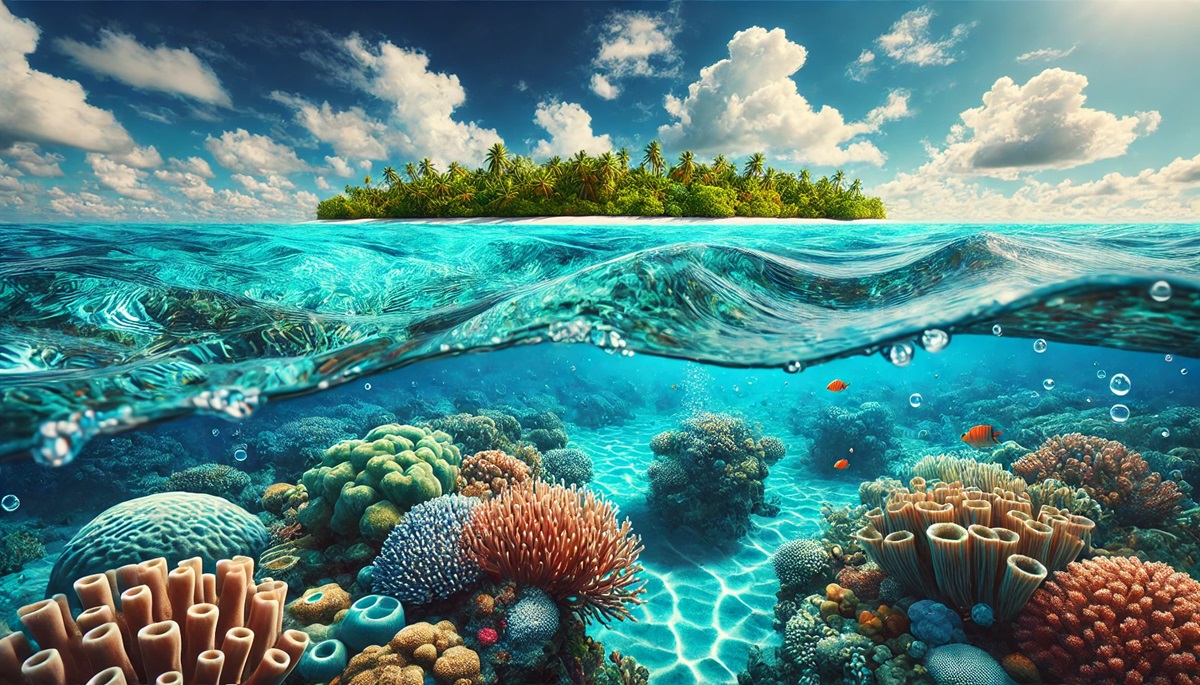
The Caribbean Sea, covering 1,063,000 square miles, is a tropical paradise bordered by the Americas and island nations such as Cuba, Jamaica, and the Bahamas. Its warm, crystal-clear waters are a magnet for tourists, offering pristine beaches and vibrant coral reefs.
Rich in history, the Caribbean Sea was the backdrop for colonial conquests, pirate tales, and the transatlantic slave trade. Today, it remains a hub of cultural diversity and ecological significance.
#6: Mediterranean Sea – 970,000 square miles
The Mediterranean Sea, spanning 970,000 square miles, has been a cradle of civilization for thousands of years. Bordered by Europe, Asia, and Africa, it has served as a vital route for trade, exploration, and cultural exchange. Its maximum depth is about 17,280 feet in the Calypso Deep.
From ancient Greek and Roman civilizations to modern tourism, the Mediterranean’s history is unparalleled. Its warm waters and rich marine life make it one of the most beloved seas globally.
#7: Bering Sea – 890,000 square miles
The Bering Sea, located between Alaska and Russia, covers 890,000 square miles and connects the Pacific and Arctic Oceans. It is bordered by Alaska, Russia, and the Aleutian Islands. Known for its harsh climate and rich fisheries, it supports a vast array of marine life, including seals, whales, and seabirds.
The Bering Sea has played a critical role in indigenous cultures and modern fishing industries. Its treacherous waters have tested explorers and sailors for centuries.
#8: Gulf of Mexico – 600,000 square miles
The Gulf of Mexico, bordered by the United States, Mexico, and Cuba, spans 600,000 square miles. Its maximum depth is approximately 14,383 feet in the Sigsbee Deep. This warm, nutrient-rich sea is one of the most productive marine ecosystems on Earth.
The Gulf’s history includes the rise of ancient Mesoamerican civilizations, Spanish exploration, and modern energy production. It remains vital for fisheries, tourism, and oil extraction.
#9: Sea of Okhotsk – 611,000 square miles
The Sea of Okhotsk, nestled between Russia and Japan, spans 611,000 square miles. Its icy waters are rich in marine resources, including fish and crabs. It plays a crucial role in supporting the economies of surrounding regions.
The sea is known for its challenging navigation and harsh winters. Its remote beauty attracts adventurous travelers and researchers alike.
#10: Yellow Sea – 146,000 square miles
The Yellow Sea, between China and the Korean Peninsula, spans 146,000 square miles. Its shallow waters and yellowish hue, caused by sediment from rivers like the Yellow River, give it its name.
Rich in history and resources, the Yellow Sea has been a center of cultural and economic activity for centuries. Its fisheries and ports remain vital to the region.
The world’s largest seas are more than just vast expanses of water; they are cradles of life, culture, and history. From the biodiversity of the Coral Sea to the historical depth of the Mediterranean, each sea holds unique stories and treasures. They remind us of the intricate connections between nature, history, and human life, urging us to protect and cherish these vital ecosystems.
More Great Top 10’s
Seas and Maps
Seas and maps weave a tale of connection and discovery, where the vast blue expanses meet the delicate lines and symbols of human understanding. A sea on a map is more than a space; it is a bridge between continents, a realm of life, and a stage for history’s greatest adventures. From the tranquil turquoise of the Caribbean to the icy depths of the Bering Sea, maps capture their beauty and their power. They trace the routes of ancient explorers who braved uncharted waters, the shifting trade routes that fueled empires, and the coastal boundaries that define nations. Seas are living worlds beneath the waves, teeming with unseen life, and maps bring those mysteries closer, marking reefs, trenches, and hidden currents. They tell of shipwrecks lost to time, islands waiting to be found, and the endless rhythm of tides shaping the land. Together, seas and maps remind us of the balance between exploration and respect, inviting us to journey across their waters while cherishing the fragile ecosystems and the cultural legacies they hold.
Learn more about Maps
- Topographical Maps: Representation of the physical features of a region or area.
- Contour Maps: Representation of the contours of the land surface or ocean floor.
- Raised Relief Maps: Representation of land elevations with raised features indicating landforms.
- Terrain Maps: Representation of the physical features of a terrain or landmass.
- USGS Topographic Maps: Representation of topographic features and land elevations based on USGS data.
- USGS Historical Topographic Maps: Representation of historical topographic maps created by the USGS.
- Watershed Maps: Representation of the areas where water flows into a particular river or lake.
- Elevation Maps: Representation of land and water elevations with high precision.
- Physical Maps: Representation of physical features of the Earth’s surface such as landforms, oceans, and plateaus.
- Bathymetric Maps: Representation of the topography and features of the ocean floor.
- NOAA Maps: Representation of atmospheric, oceanographic, and environmental data by NOAA.
- Nautical Maps: Representation of the underwater features and depth of an area for navigation purposes.
- Geologic Maps: Representation of the geologic features of an area such as rock types, faults, and folds.
- Satellite Maps: Representation of earth from high-definition satellite imagery.
Contact us today to learn more about our services and how we can help you achieve your goals.

