Top 10 Clearest Lakes in the World
Top 10 Clearest Lakes in the World
WhiteClouds builds 3D Raised Relief Maps
Crystal-clear lakes are nature’s mesmerizing wonders, captivating with their pristine waters that allow an unparalleled glimpse into their depths. These lakes, often nestled amidst breathtaking landscapes, hold unique ecosystems, intriguing histories, and cultural significance. From the cobalt-blue waters of Lake Tahoe to the surreal clarity of New Zealand’s Blue Lake, the clearest lakes in the world are a confirmation to nature’s artistry. Here are the top 10 clearest lakes in the world, ranked by clarity and sheer beauty.
#1: Blue Lake, New Zealand – 240 Feet
Blue Lake, also known as Rotomairewhenua, in Nelson Lakes National Park, New Zealand, is recognized as the clearest lake in the world. With visibility up to 240 feet, its waters are so transparent they appear almost invisible. The lake is sacred to the Māori people, who consider it a taonga, or treasure.
Nestled amidst lush alpine landscapes, Blue Lake is fed by nearby glacial waters filtered through natural rocks. Its clarity and tranquility have made it a subject of scientific study and spiritual reverence. Visitors often describe it as a mirror of the sky, with every ripple and reflection perfectly captured.

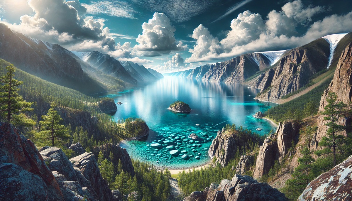
#2: Lake Baikal, Russia – 130 Feet
Lake Baikal in Siberia is the world’s deepest and oldest freshwater lake, plunging over 5,300 feet and estimated to be 25 million years old. Its crystal-clear waters boast visibility up to 130 feet, and its unique ecosystem is home to thousands of endemic species.
Stories of ancient tribes revering Baikal as a sacred sea and anecdotes of daring ice expeditions across its frozen surface add to its mystique. Known as the “Galapagos of Russia,” Lake Baikal is a UNESCO World Heritage Site and a marvel of geological and ecological significance.
#3: Crater Lake, USA – 120 Feet
Crater Lake in Oregon, USA, formed within the caldera of a collapsed volcano, is renowned for its striking blue color and water clarity, with visibility up to 120 feet. As the deepest lake in the United States, it plunges to 1,943 feet.
The lake has no inlets or outlets, preserving its pristine condition. Legend has it that Native American tribes regarded Crater Lake as a sacred site of spiritual power. Today, visitors marvel at its iconic Wizard Island and panoramic views from the surrounding cliffs.
#4: Lake Mashu, Japan – 100 Feet
Lake Mashu, located in Hokkaido, Japan, is a caldera lake known for its vivid blue waters and visibility reaching 100 feet. It is often shrouded in mist, adding an air of mystery to its serene beauty.
The Ainu people, Japan’s Indigenous inhabitants, hold the lake in high regard, and legends of water spirits enhance its allure. Strict conservation measures limit access, preserving its unspoiled clarity and making it a coveted destination for nature lovers.
#5: Lake Tahoe, USA – 70 Feet
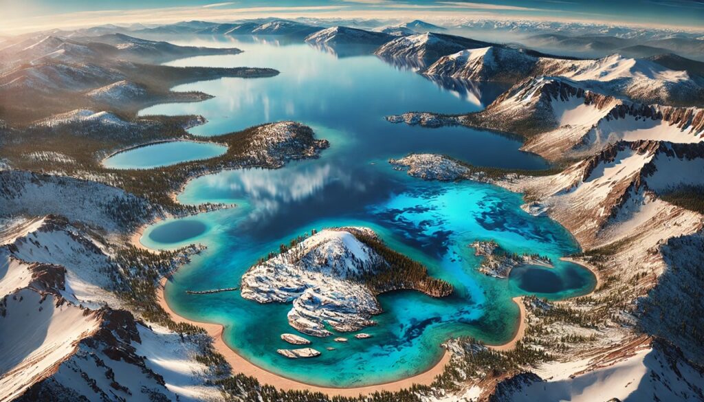
Lake Tahoe, straddling California and Nevada, is one of the clearest and largest alpine lakes in the world, with visibility up to 70 feet. Its deep blue waters are surrounded by snow-capped peaks, creating a stunning year-round destination.
With a depth of 1,645 feet, Tahoe is famed for its natural beauty and recreational opportunities. Anecdotes of early settlers describing its clarity and modern conservation efforts make it a symbol of ecological preservation. It’s a favorite spot for boating, skiing, and hiking.
#6: Lake Königssee, Germany – 65 Feet
Lake Königssee in Bavaria, Germany, is an alpine lake known for its emerald-green clarity, with visibility up to 65 feet. Surrounded by steep cliffs, it exudes an almost mystical charm.
The lake is part of Berchtesgaden National Park, and its serene waters are traversed by electric boats to preserve its purity. Stories of monks and kings retreating here for solace add to its historical depth.
#7: Wakatipu Lake, New Zealand – 62 Feet
Lake Wakatipu in New Zealand’s South Island is famed for its scenic beauty and clear waters, with visibility up to 62 feet. Shaped like a lightning bolt, this glacial lake is the country’s longest, stretching 50 miles.
The lake’s surrounding peaks and Queenstown’s vibrant culture make it a hub for adventure and leisure. Māori legends tell of a sleeping giant beneath the lake, and its tides, known as seiches, add a touch of mystery.
#8: Lake McKenzie, Australia – 50 Feet
Lake McKenzie on Fraser Island, Australia, is a perched lake with visibility of up to 50 feet, set against pure white silica sands. Its crystal-clear waters and secluded location make it a tropical paradise.
The lake’s formation atop compacted sand and organic matter creates a unique, self-contained ecosystem. Anecdotes of explorers discovering its surreal beauty and its role in Indigenous culture highlight its significance.
#9: Moraine Lake, Canada – 50 Feet
Moraine Lake in Banff National Park, Canada, is a glacially-fed gem with visibility up to 50 feet. Its turquoise waters, set against the backdrop of the Valley of Ten Peaks, create an iconic image.
The lake’s color is due to rock flour deposited by melting glaciers, creating a unique visual effect. Tales of mountaineers and photographers capturing its beauty make it a bucket-list destination.
#10: Five Flower Lake, China – 30 Feet
Located in Jiuzhaigou Valley National Park, China, Five Flower Lake dazzles with its kaleidoscope of colors and crystal-clear waters, with visibility up to 30 feet. Fallen tree trunks are visible beneath the surface, creating a surreal underwater forest.
The lake is steeped in Tibetan folklore, with stories of its spiritual significance adding to its charm. The surrounding area’s stunning waterfalls and karst formations make it a UNESCO World Heritage Site.
The world’s clearest lakes are awe-inspiring natural wonders, offering unparalleled beauty and a glimpse into pristine ecosystems. From the sacred Blue Lake of New Zealand to the ancient depths of Lake Baikal, these transparent waters are confirmation to nature’s artistry and resilience. Visiting these lakes is not just an opportunity to witness their beauty but to immerse oneself in their histories, legends, and ecological significance.
More Great Top 10’s
Lakes and Maps
Lakes are shimmering jewels on the face of the Earth, reflecting the sky’s vastness while holding the mysteries of depths unseen. They cradle ecosystems, sustain life, and inspire awe with their tranquil beauty and dynamic presence. Maps of lakes are gateways to their stories, tracing their contours and capturing their essence. From sprawling giants like the Great Lakes to hidden alpine gems, maps reveal their shapes, depths, and connections to the rivers and valleys they nourish. Historical maps often frame lakes as points of discovery, marking the lifelines of civilizations and trade routes, while modern cartography uncovers the unseen—aquatic ecosystems, geological formations, and ancient secrets buried beneath the surface. Each lake is unique: the mirror-like stillness of Crater Lake, the infinite clarity of Blue Lake, or the ever-changing tides of Lake Wakatipu. Maps not only chart their locations but also ignite imagination, tracing shores that have hosted ancient tribes, witnessed geological upheavals, and cradled moments of serenity and adventure. They are a blend of art and science, a bridge between human curiosity and nature’s majesty, guiding us to understand and cherish these vital, life-giving waters.
Learn more about Maps
- Topographical Maps: Representation of the physical features of a region or area.
- Contour Maps: Representation of the contours of the land surface or ocean floor.
- Raised Relief Maps: Representation of land elevations with raised features indicating landforms.
- Terrain Maps: Representation of the physical features of a terrain or landmass.
- USGS Topographic Maps: Representation of topographic features and land elevations based on USGS data.
- USGS Historical Topographic Maps: Representation of historical topographic maps created by the USGS.
- Watershed Maps: Representation of the areas where water flows into a particular river or lake.
- Elevation Maps: Representation of land and water elevations with high precision.
- Physical Maps: Representation of physical features of the Earth’s surface such as landforms, oceans, and plateaus.
- Bathymetric Maps: Representation of the topography and features of the ocean floor.
- NOAA Maps: Representation of atmospheric, oceanographic, and environmental data by NOAA.
- Nautical Maps: Representation of the underwater features and depth of an area for navigation purposes.
- Geologic Maps: Representation of the geologic features of an area such as rock types, faults, and folds.
- Satellite Maps: Representation of earth from high-definition satellite imagery.
Contact us today to learn more about our services and how we can help you achieve your goals.


