Top 10 Widest Rivers in the United States
Top 10 Widest Rivers in the United States
WhiteClouds builds 3D Raised Relief Maps
Rivers are not only vital for transportation, agriculture, and ecosystems but also awe-inspiring displays of nature’s grandeur. Among the rivers in the United States, some stand out not for their length but for their incredible width. These rivers, often spanning miles from shore to shore, showcase their might and majesty as they wind through diverse landscapes, shaping the regions they traverse. From estuaries opening into vast bays to powerful waterways creating expansive floodplains, the widest rivers in the U.S. are as varied as the terrain they cross. Here, we explore the top 10 widest rivers, diving into their immense size, historical significance, and fascinating stories.
#1: Mississippi River – Over 11 Miles at its Widest
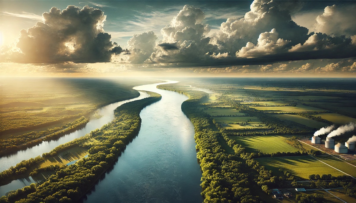
The Mississippi River is not only one of the longest but also the widest in the United States. At its widest point, near Lake Winnibigoshish in Minnesota, the river stretches over 11 miles from shore to shore. This iconic river traverses 10 states, providing a lifeline for commerce, agriculture, and transportation. Its massive floodplain creates a rich habitat for countless species of wildlife, making it an ecological treasure. Historically, the Mississippi was a critical artery for Native American trade and European explorers like Hernando de Soto. During the 19th century, it became the backbone of the steamboat era, immortalized by Mark Twain. Anecdotes of the river’s unpredictable floods, like the Great Mississippi Flood of 1927, highlight its dual role as a life-giver and a force of destruction.

#2: Missouri River – Over 10 Miles at its Widest
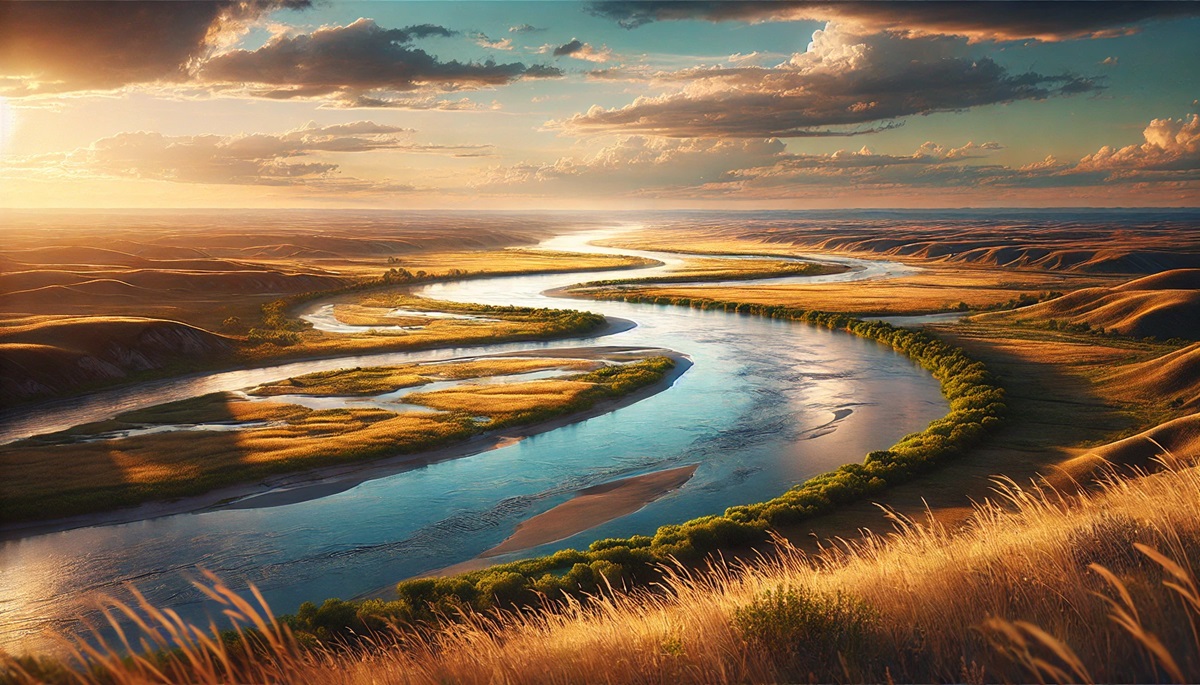
Flowing over 10 miles wide at certain points, the Missouri River earns its place among the widest in the U.S. The river spans 2,341 miles in length, beginning in Montana and joining the Mississippi near St. Louis. Known as the “Big Muddy” due to its high sediment content, the Missouri has played a pivotal role in U.S. history, from the Lewis and Clark expedition to westward expansion. The river’s vast floodplains provide fertile ground for agriculture, supporting millions. Tales of steamboats navigating its treacherous waters and its role in Native American culture add to its mystique. Its width, especially during seasonal floods, showcases its raw power and vital importance.

#3: Ohio River – Over 6 Miles at its Widest
The Ohio River, a major tributary of the Mississippi, reaches widths of over 6 miles near Cairo, Illinois. Spanning 981 miles, the Ohio is steeped in history, serving as a critical transportation route for Native Americans and early settlers. Its name, derived from the Iroquois word for “great river,” reflects its significance. During the 19th century, it was a vital waterway for steamboats and industrial trade, cementing its role in the growth of cities like Cincinnati and Louisville. Anecdotes of ice flows halting river traffic and floods reshaping its course underscore its dynamic nature. The river’s width is a confirmation to its strength and enduring importance.
#4: Columbia River – Over 5 Miles at its Widest
The Columbia River, at over 5 miles wide near its estuary with the Pacific Ocean, is a marvel of the Pacific Northwest. Originating in British Columbia, Canada, the river flows 1,243 miles through Washington and Oregon. Its width is most apparent near the Columbia River Gorge, a natural wonder of towering cliffs and dramatic landscapes. The river is renowned for its salmon runs, hydroelectric power, and historical significance as a route for explorers like Lewis and Clark. Tales of treacherous waters, especially at the Columbia Bar, known as the “Graveyard of the Pacific,” add to its lore. The river’s expansive width symbolizes its power and importance to the region.
#5: St. Lawrence River – Over 4 Miles at its Widest
The St. Lawrence River, though not entirely within the United States, spans over 4 miles wide near its border with Canada. It serves as a vital link between the Great Lakes and the Atlantic Ocean. This river has been a lifeline for trade and exploration since the time of Jacques Cartier in the 16th century. Its immense width near its estuary is a stunning feature, supporting a rich marine ecosystem. Stories of ice-breaking ships navigating its frozen waters in winter highlight its year-round significance.
#6: Hudson River – Over 3 Miles at its Widest
The Hudson River widens to over 3 miles at Haverstraw Bay, north of New York City. This iconic river, stretching 315 miles from the Adirondack Mountains to the Atlantic, is steeped in history and culture. From the Revolutionary War battles along its banks to its role in the industrial revolution, the Hudson has been a key player in shaping the nation. Its width at Haverstraw Bay makes it a significant ecological and recreational area. Tales of early Dutch settlers and the river’s importance as a trade route continue to captivate historians and visitors alike.
#7: Potomac River – Over 3 Miles at its Widest
The Potomac River, a symbol of American history, reaches widths of over 3 miles near its mouth at Chesapeake Bay. Flowing through Washington, D.C., and four states, the Potomac is known as the “Nation’s River.” Its historical significance is unparalleled, with its banks witnessing George Washington’s plantation at Mount Vernon and numerous Civil War battles. The river’s width near its estuary supports diverse habitats and recreational opportunities, making it a cherished natural resource.
#8: Delaware River – Over 3 Miles at its Widest
The Delaware River widens to over 3 miles near its estuary with Delaware Bay. Spanning four states, the river has been a crucial transportation and trade route since colonial times. Its historical significance includes George Washington’s famous crossing during the Revolutionary War. The river’s width near the bay supports vibrant fisheries and a bustling shipping industry, showcasing its economic and ecological importance.
#9: Sacramento River – Over 2.5 Miles at its Widest
The Sacramento River, the largest in California, reaches widths of over 2.5 miles in its floodplain. Flowing 445 miles from the Klamath Mountains to the San Francisco Bay, the river is vital for the state’s agriculture and water supply. Its width during seasonal floods highlights its importance and challenges, as seen in historical flood control efforts. The river remains a lifeline for the region, supporting diverse ecosystems and communities.
#10: Tennessee River – Over 2 Miles at its Widest
The Tennessee River, a major tributary of the Ohio River, spans over 2 miles wide at Kentucky Lake. Flowing 652 miles through seven states, the river is known for its scenic beauty and recreational opportunities. Its width supports vibrant aquatic habitats and hydroelectric power generation. Stories of steamboats navigating its winding course and its role in the Tennessee Valley Authority’s development highlight its significance.
The widest rivers in the United States are not only geographical features but also cultural and historical icons. From the vast expanse of the Mississippi to the dramatic estuary of the Columbia, these rivers showcase the power and beauty of nature. Their immense size and significance continue to inspire awe, reminding us of their vital role in shaping the nation’s past, present, and future.
More Great Top 10’s
Rivers and Maps
Learn more about Maps
- Topographical Maps: Representation of the physical features of a region or area.
- Contour Maps: Representation of the contours of the land surface or ocean floor.
- Raised Relief Maps: Representation of land elevations with raised features indicating landforms.
- Terrain Maps: Representation of the physical features of a terrain or landmass.
- USGS Topographic Maps: Representation of topographic features and land elevations based on USGS data.
- USGS Historical Topographic Maps: Representation of historical topographic maps created by the USGS.
- Watershed Maps: Representation of the areas where water flows into a particular river or lake.
- Elevation Maps: Representation of land and water elevations with high precision.
- Physical Maps: Representation of physical features of the Earth’s surface such as landforms, oceans, and plateaus.
- Bathymetric Maps: Representation of the topography and features of the ocean floor.
- NOAA Maps: Representation of atmospheric, oceanographic, and environmental data by NOAA.
- Nautical Maps: Representation of the underwater features and depth of an area for navigation purposes.
- Geologic Maps: Representation of the geologic features of an area such as rock types, faults, and folds.
- Satellite Maps: Representation of earth from high-definition satellite imagery.
Contact us today to learn more about our services and how we can help you achieve your goals.


