Top 10 Iconic Peaks in the Himalayas
Top 10 Iconic Peaks in the Himalayas
WhiteClouds builds 3D Raised Relief Maps
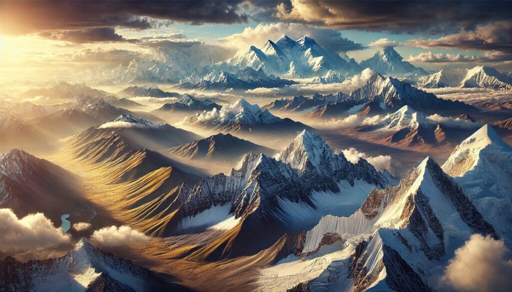
The Himalayas, known as the “Abode of Snow,” are home to the world’s tallest and most iconic peaks, a stunning tapestry of natural grandeur and cultural significance. Stretching across five countries—India, Nepal, Bhutan, China, and Pakistan—this mountain range has inspired explorers, mountaineers, and spiritual seekers for centuries. Its peaks are symbols of beauty and challenge, shaped by millennia of geological activity. Here are the top 10 iconic peaks in the Himalayas, celebrated for their towering heights, breathtaking landscapes, and captivating histories.
#1: Mount Everest – 29,032 Feet
As the tallest mountain in the world, Mount Everest stands at 29,032 feet in Nepal and Tibet, symbolizing the pinnacle of human achievement and natural majesty. Known as “Sagarmatha” in Nepali and “Chomolungma” in Tibetan, Everest is a geological wonder formed by the collision of the Indian and Eurasian tectonic plates. Its history includes the first successful ascent by Sir Edmund Hillary and Tenzing Norgay in 1953, a feat that captured global attention. Despite its grandeur, the mountain demands immense respect, with extreme weather and thin air making it a formidable challenge for climbers.
![]()
#2: K2 (Mount Godwin-Austen) – 28,251 Feet
Known as the “Savage Mountain,” K2 is the second-highest peak in the world, towering at 28,251 feet in the Karakoram Range of Pakistan and China. Renowned for its steep, icy slopes and unpredictable weather, it is considered one of the most challenging peaks to climb. The mountain’s history is marked by tales of triumph and tragedy, with fewer summits than Everest. Its stark beauty and technical difficulty make it a dream for elite climbers.
#3: Kangchenjunga – 28,169 Feet
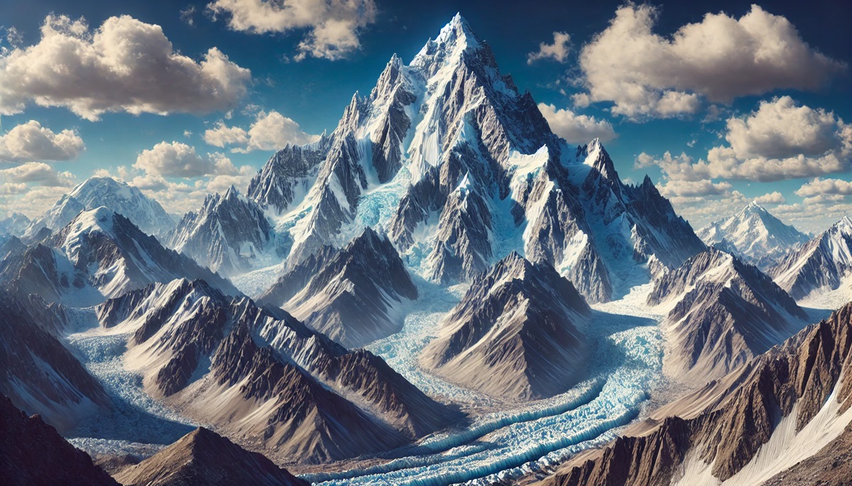
Located on the border of Nepal and India, Kangchenjunga is the third-highest peak in the world, standing at 28,169 feet. Known as the “Five Treasures of the Snow,” its five peaks are sacred to local communities. The mountain remained unclimbed until 1955 due to its cultural and spiritual significance. Its lush valleys and glaciers are home to rare species like the snow leopard and red panda.
#4: Lhotse – 27,940 Feet
Adjacent to Everest, Lhotse is the fourth-highest peak in the world, rising to 27,940 feet. Its name translates to “South Peak” in Tibetan, referencing its position relative to Everest. Lhotse is famous for its dramatic south face, a nearly vertical wall that challenges climbers with sheer rock and ice. It was first summited in 1956 by a Swiss team, and its proximity to Everest often makes it a part of the same expedition.
#5: Makalu – 27,838 Feet
Makalu, the fifth-highest peak in the world at 27,838 feet, lies in the Mahalangur Range of Nepal and China. Its unique pyramid shape and sharp ridges give it a striking profile. Makalu is one of the most difficult peaks to climb due to its steep slopes and technical challenges. Its isolation and rugged beauty make it a favorite for mountaineers seeking solitude and adventure.
#6: Cho Oyu – 26,864 Feet
Cho Oyu, the sixth-highest mountain at 26,864 feet, is considered one of the more accessible 8,000-meter peaks. Located on the Nepal-China border, it is often a training ground for climbers preparing for Everest. The mountain offers breathtaking views of Everest and the surrounding Himalayas. Its name means “Turquoise Goddess,” reflecting the stunning hues of the surrounding landscape.
#7: Dhaulagiri – 26,795 Feet
Dhaulagiri, the seventh-highest peak at 26,795 feet, is a majestic massif in western Nepal. Known as the “White Mountain,” it boasts dramatic slopes and deep valleys. The first ascent in 1960 was a significant milestone in Himalayan climbing history. Its rugged terrain and relative isolation make it a challenge for climbers seeking to avoid the crowds.
#8: Manaslu – 26,781 Feet
Manaslu, the eighth-highest peak at 26,781 feet, is located in Nepal and is named after the Sanskrit word “Manasa,” meaning “mountain of the spirit.” Its striking ridges and icy slopes have drawn climbers since its first ascent in 1956. The mountain’s remote location and cultural significance add to its allure.
#9: Nanga Parbat – 26,660 Feet
Known as the “Killer Mountain,” Nanga Parbat is the ninth-highest peak at 26,660 feet and is located in Pakistan. Its dramatic vertical relief and icy terrain have made it one of the most dangerous peaks to climb. Despite its fearsome reputation, it holds a mystical beauty and is a centerpiece of local folklore.
#10: Annapurna I – 26,545 Feet
Annapurna I, the tenth-highest peak at 26,545 feet, is part of the Annapurna Massif in Nepal. It was the first 8,000-meter peak to be climbed, in 1950, marking a historic achievement in mountaineering. The Annapurna region is famous for its trekking routes, which offer stunning views of this iconic peak.
The iconic peaks of the Himalayas are more than towering heights; they are symbols of nature’s grandeur and human perseverance. From the record-breaking summit of Everest to the formidable slopes of Nanga Parbat, these mountains inspire awe and challenge the limits of exploration. They stand as timeless monuments to the Earth’s power and beauty, beckoning climbers, adventurers, and dreamers from all corners of the world.
More Great Top 10’s
Peaks and Maps
Learn more about Maps
- Topographical Maps: Representation of the physical features of a region or area.
- Contour Maps: Representation of the contours of the land surface or ocean floor.
- Raised Relief Maps: Representation of land elevations with raised features indicating landforms.
- Terrain Maps: Representation of the physical features of a terrain or landmass.
- USGS Topographic Maps: Representation of topographic features and land elevations based on USGS data.
- USGS Historical Topographic Maps: Representation of historical topographic maps created by the USGS.
- Watershed Maps: Representation of the areas where water flows into a particular river or lake.
- Elevation Maps: Representation of land and water elevations with high precision.
- Physical Maps: Representation of physical features of the Earth’s surface such as landforms, oceans, and plateaus.
- Bathymetric Maps: Representation of the topography and features of the ocean floor.
- NOAA Maps: Representation of atmospheric, oceanographic, and environmental data by NOAA.
- Nautical Maps: Representation of the underwater features and depth of an area for navigation purposes.
- Geologic Maps: Representation of the geologic features of an area such as rock types, faults, and folds.
- Satellite Maps: Representation of earth from high-definition satellite imagery.
Contact us today to learn more about our services and how we can help you achieve your goals.


