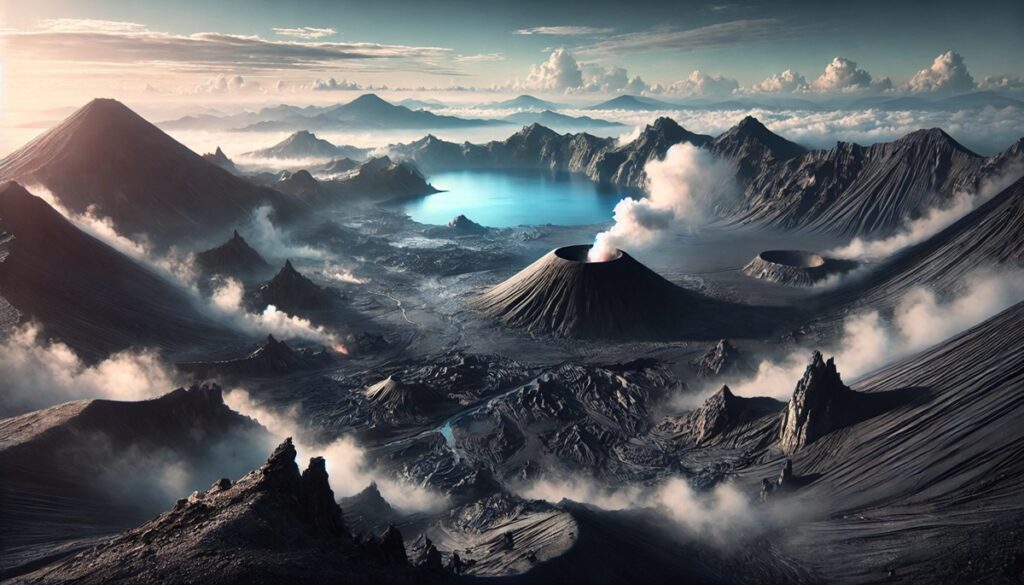
Geothermal areas are like living maps of Earth’s dynamic core, each one a vibrant witness to the planet’s restless energy. When plotted on a global map, these hotspots create a fiery web of volcanic activity, following the invisible lines of tectonic plate boundaries. From the Pacific Ring of Fire to Iceland’s mid-Atlantic divide, geothermal maps don’t just chart locations; they tell the story of a planet in constant motion. These maps reveal where superheated water bursts through fissures in the crust, where magma chambers simmer beneath colorful pools, and where steam hisses from deep, unseen reservoirs. Each geothermal site is a dot on the map with its own unique signature—Yellowstone’s sprawling caldera, Kamchatka’s remote valleys, or Mount Erebus’s icy Antarctic peak. These charts are more than scientific tools; they are keys to adventures and mysteries. Travelers use them to uncover natural wonders, scientists to track energy sources and predict volcanic activity, and historians to trace how ancient civilizations revered and harnessed these steamy landscapes. A geothermal map, with its glowing nodes and simmering networks, reminds us of Earth’s ceaseless creativity and invites us to explore its hidden, untamed power.
Top 10 Geothermal Areas in the World
Top 10 Geothermal Areas in the World
WhiteClouds builds 3D Raised Relief Maps
Geothermal areas are some of the most fascinating natural wonders on Earth, showcasing the dynamic and fiery energy hidden beneath the planet’s crust. These locations are home to geysers, hot springs, mud pots, and fumaroles, creating surreal landscapes that captivate geologists, adventurers, and casual visitors alike. Many of these regions also carry significant cultural and historical importance, making them rich sources of folklore and legends. Below is a list of the top 10 geothermal areas in the world, ranked by size and their spectacular geothermal activity.
#1: Yellowstone National Park, 3,472 square miles
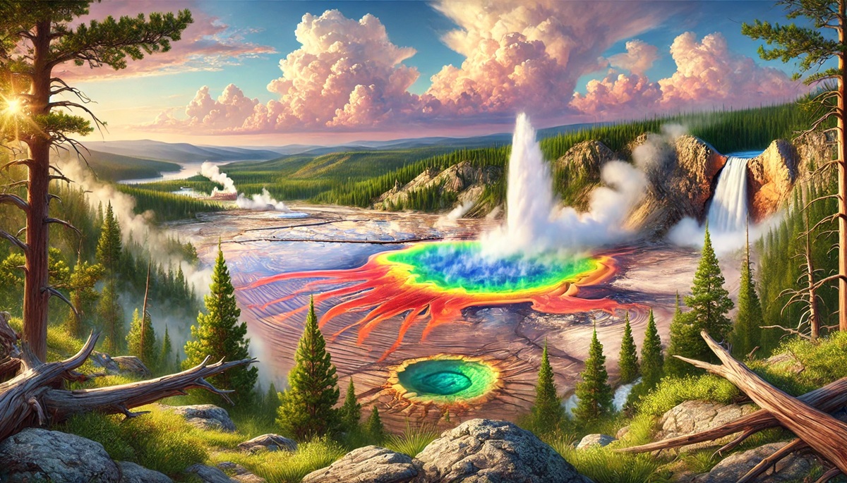
Yellowstone National Park, located in the United States, spans an impressive 3,472 square miles across Wyoming, Montana, and Idaho. It is the largest geothermal area on the planet, containing over half of the world’s geysers, including the famous Old Faithful. The park is situated atop the Yellowstone Caldera, a supervolcano that last erupted 640,000 years ago. The geothermal features here are a result of the magma chamber located only a few miles beneath the surface, creating an otherworldly array of colorful hot springs like the Grand Prismatic Spring, fumaroles, and boiling mud pots.
Yellowstone’s geothermal areas have fascinated visitors for centuries. Indigenous tribes revered the region as sacred long before it became the first national park in the world in 1872. Tales of its steaming rivers and hissing geysers spread far and wide through explorers and settlers. Today, millions of tourists visit annually, marveling at the combination of thermal wonders and abundant wildlife, including bison and elk. Interestingly, the region’s geothermal activity has been linked to potential supervolcanic eruptions, sparking curiosity and fear about its immense power. The park is not just a natural wonder; it’s also a vital laboratory for scientific research and a confirmation to Earth’s volatile inner forces.
#2: Iceland’s Geothermal Fields, 40,000 square miles
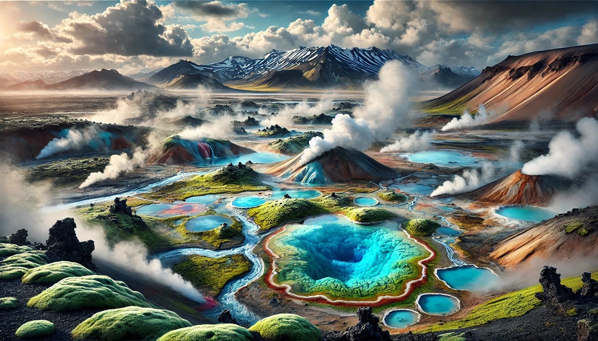
Iceland, often called the “Land of Fire and Ice,” is home to vast geothermal fields spanning approximately 40,000 square miles. This volcanic island in the North Atlantic Ocean is powered by the Mid-Atlantic Ridge, where the Eurasian and North American tectonic plates diverge. The result is a geothermal hotspot with geysers, lava fields, and bubbling hot springs. One of the most famous sites is the Geysir Geothermal Area, which gave the English language the word “geyser.”
Iceland’s geothermal resources are deeply integrated into its culture and economy. The majority of the island’s homes are heated with geothermal energy, and hot springs like the Blue Lagoon attract thousands of visitors each year. Stories of Vikings using hot springs for bathing and cooking reflect the region’s historical significance. Modern developments have transformed these geothermal fields into sustainable energy hubs, making Iceland a global leader in renewable energy innovation. The landscapes are also a favorite among filmmakers, often appearing in movies and TV shows that require dramatic, alien-like scenery.
#3: Kamchatka Peninsula, 140,000 square miles
The Kamchatka Peninsula in Russia is a sprawling geothermal wonderland covering about 140,000 square miles. Home to the Valley of Geysers, one of the largest concentrations of geysers on Earth, this remote region is filled with steaming fumaroles, vibrant hot springs, and active volcanoes. The peninsula’s location on the Pacific Ring of Fire makes it one of the most geologically active regions in the world.
Kamchatka has a long history of indigenous settlement, with native tribes living harmoniously with its extreme environment. During Soviet times, the area was closed off to foreigners, preserving its pristine beauty. Today, adventurers and scientists flock to Kamchatka for its unique ecosystems and unparalleled geothermal activity. The region is so isolated that much of its wildlife, including brown bears and sea otters, thrives undisturbed. Legends of Kamchatka’s fiery mountains have inspired countless Russian tales, adding a mythical aura to its breathtaking landscape.
#4: New Zealand’s Taupō Volcanic Zone, 7,700 square miles
The Taupō Volcanic Zone on New Zealand’s North Island stretches over 7,700 square miles, encompassing famous geothermal sites like Rotorua, Wai-O-Tapu, and the Waimangu Volcanic Valley. The area is marked by colorful geothermal pools, erupting geysers, and steaming mud pits. Lake Taupō, a caldera lake formed by a massive volcanic eruption around 26,500 years ago, dominates the region.
Maori culture is deeply intertwined with the geothermal features of this zone. The indigenous people have used the hot springs for cooking, bathing, and healing for generations. The region also played a pivotal role in New Zealand’s colonization history, as European settlers marveled at its exotic thermal features. Visitors today are enchanted by the surreal beauty of Champagne Pool and the Lady Knox Geyser, making Taupō a popular tourist destination. The geothermal activity here also powers some of New Zealand’s renewable energy efforts, showcasing a balance between nature and technology.
#5: East African Rift Valley, 3,700 square miles
The East African Rift Valley, a geological marvel stretching through several countries in Africa, hosts geothermal hotspots across its 3,700 square miles. Countries like Kenya and Ethiopia are particularly rich in geothermal activity, with regions like the Olkaria Geothermal Plant in Kenya leading Africa’s renewable energy initiatives. The rift valley’s unique geology results from the splitting of the African tectonic plate, creating a landscape dotted with hot springs and volcanic craters.
This area is not just a geothermal hotspot but also a cradle of humanity. Fossil discoveries, such as those of early hominids, add to its global significance. Geothermal energy is playing a transformative role in the region’s development, providing sustainable electricity to communities and reducing reliance on fossil fuels. Anecdotal stories from locals often speak of the healing powers of hot springs, blending science and folklore in this vibrant landscape.
#6: Lassen Volcanic National Park, 106 square miles
Located in northern California, Lassen Volcanic National Park spans 106 square miles of geothermal activity. It is home to Bumpass Hell, an active geothermal area with boiling springs, fumaroles, and bubbling mud pots. Lassen Peak, an active volcano, last erupted in 1915, leaving behind a scarred yet mesmerizing landscape.
The park’s geothermal features are a confirmation to the volatile nature of the Cascade Range. Early settlers and indigenous tribes used the area for its hot springs, believed to possess medicinal properties. Today, hikers and photographers are drawn to Lassen for its rugged beauty and geothermal activity. Anecdotes about pioneers navigating this harsh terrain often highlight the resilience required to survive in such an extreme environment.
#7: Yellowstone’s Norris Geyser Basin, 12 square miles
Norris Geyser Basin, part of Yellowstone but distinct enough to deserve its spot, covers about 12 square miles. It is one of the park’s hottest and most dynamic geothermal areas. Steamboat Geyser, the tallest active geyser in the world, resides here, captivating visitors with its unpredictable eruptions.
Norris Basin’s extreme conditions make it a hub for scientific research. Microbial life forms discovered here thrive in acidic, boiling waters, offering insights into possible extraterrestrial life. The basin’s eerie landscapes and unique sounds have inspired countless anecdotes from early explorers, who often described it as a “hellish” environment.
#8: Mount Erebus, 4 square miles
Mount Erebus, located in Antarctica, spans 4 square miles and is the southernmost active volcano on Earth. Its geothermal activity includes lava lakes and fumaroles, making it a unique and isolated geothermal site.
The mountain has been a subject of fascination for scientists studying extreme environments. Tales from Antarctic explorers often include encounters with the mountain’s eerie, steaming vents. Despite its harsh conditions, Mount Erebus serves as a natural laboratory for understanding geothermal processes in icy landscapes.
#9: El Tatio Geysers, 3 square miles
El Tatio, located in the Andes Mountains of Chile, covers 3 square miles and is the highest-altitude geothermal field in the world. Its geysers and hot springs create a striking contrast against the arid desert surroundings.
El Tatio has been a sacred site for indigenous Andean cultures, who believed in the spiritual significance of its steaming vents. The area’s surreal beauty has made it a favorite among photographers and travelers seeking unique landscapes. Scientists continue to study El Tatio’s geothermal activity to understand the interplay between volcanic and hydrological systems.
#10: Beppu Hot Springs, 2 square miles
Beppu Hot Springs, located in Japan, spans just 2 square miles but boasts one of the world’s highest outputs of hot spring water. Known for its “Hells of Beppu,” the area features steaming pools in vibrant shades of red, blue, and white.
The springs have been a part of Japanese culture for centuries, attracting visitors for their therapeutic properties. Anecdotal stories of samurai using the springs for relaxation and healing highlight their historical importance. Today, Beppu is a bustling tourist destination, combining traditional Japanese hospitality with geothermal wonders.
Geothermal areas are powerful reminders of Earth’s dynamic nature. From the vast expanses of Yellowstone to the intimate pools of Beppu, each site offers a glimpse into the planet’s fiery core and a connection to its ancient history. These landscapes are not just geological marvels but cultural and ecological treasures that continue to inspire awe and wonder.
Geothermal areas are extraordinary windows into the Earth’s inner workings, showcasing the immense power and beauty of our planet. These sites, with their geysers, hot springs, and volcanic features, are not only geological wonders but also cultural, historical, and ecological treasures. From Yellowstone’s sprawling landscapes and Iceland’s sustainable innovations to the mystique of Kamchatka and the spirituality of the East African Rift Valley, each geothermal area tells a unique story of the interplay between natural forces and human history.
More Great Top 10’s
Geothermal Areas and Maps
- Topographical Maps: Representation of the physical features of a region or area.
- Contour Maps: Representation of the contours of the land surface or ocean floor.
- Raised Relief Maps: Representation of land elevations with raised features indicating landforms.
- Terrain Maps: Representation of the physical features of a terrain or landmass.
- USGS Topographic Maps: Representation of topographic features and land elevations based on USGS data.
- USGS Historical Topographic Maps: Representation of historical topographic maps created by the USGS.
- Watershed Maps: Representation of the areas where water flows into a particular river or lake.
- Elevation Maps: Representation of land and water elevations with high precision.
- Physical Maps: Representation of physical features of the Earth’s surface such as landforms, oceans, and plateaus.
- Bathymetric Maps: Representation of the topography and features of the ocean floor.
- NOAA Maps: Representation of atmospheric, oceanographic, and environmental data by NOAA.
- Nautical Maps: Representation of the underwater features and depth of an area for navigation purposes.
- Geologic Maps: Representation of the geologic features of an area such as rock types, faults, and folds.
- Satellite Maps: Representation of earth from high-definition satellite imagery.
Contact us today to learn more about our services and how we can help you achieve your goals.


