Top 10 Largest Biomes in the World
Top 10 Largest Biomes in the World
WhiteClouds builds 3D Raised Relief Maps
Biomes are vast regions of the Earth that share similar climate conditions, vegetation, and wildlife. They represent the world’s major ecosystems, providing critical habitats for countless species while playing essential roles in regulating the planet’s environment. From sprawling deserts to lush rainforests, each biome holds unique stories of adaptation, survival, and interconnectedness. This list explores the ten largest biomes on Earth, ranked by size, and dives into their remarkable characteristics, histories, and global importance.
#1: Ocean Biome – 139 Million Square Miles
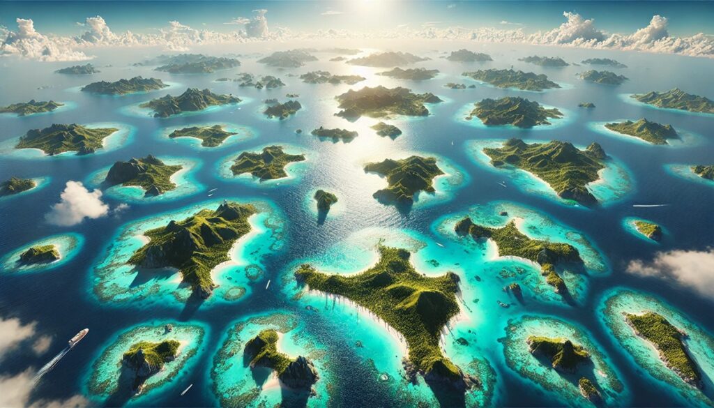
The ocean biome is the largest on Earth, covering approximately 139 million square miles or over 70% of the planet’s surface. This vast and dynamic biome includes five major oceans: the Pacific, Atlantic, Indian, Southern, and Arctic. Its ecosystems range from sunlit coral reefs to the dark, mysterious depths of the abyssal plains. Oceans regulate the Earth’s climate by absorbing heat and carbon dioxide, making them vital to the planet’s health. They are home to an extraordinary diversity of life, including microscopic plankton, which produce much of the Earth’s oxygen. Anecdotes of explorers braving uncharted waters and tales of sunken ships add a layer of intrigue to the ocean’s already immense allure. Today, the ocean biome faces challenges like overfishing, pollution, and climate change, sparking global efforts to preserve its invaluable resources.
#2: Taiga (Boreal Forest) – 20 Million Square Miles
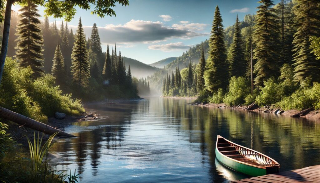
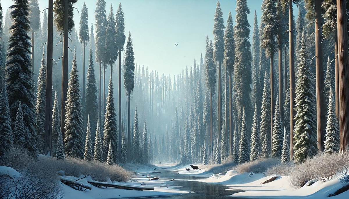
The taiga, or boreal forest, is the second-largest biome, spanning approximately 20 million square miles across Canada, Russia, Scandinavia, and Alaska. Characterized by its cold climate and dense coniferous forests, the taiga is often referred to as the “lungs of the Earth” due to its role in oxygen production and carbon sequestration. Moose, wolves, and brown bears roam its snowy landscapes, while migratory birds fill the skies during the brief summer. Indigenous peoples have lived in harmony with the taiga for thousands of years, relying on its resources for food, shelter, and spiritual practices. The taiga’s beauty and resilience have inspired countless artists and writers, yet it remains vulnerable to deforestation and climate change.
#3: Desert Biome – 12 Million Square Miles
Deserts cover approximately 12 million square miles, making them the third-largest biome on Earth. Found on every continent, deserts like the Sahara, Gobi, and Mojave are defined by their arid conditions and extreme temperatures. Despite their harsh environment, deserts support unique ecosystems, including cacti, reptiles, and nocturnal mammals. The desert’s history is rich with tales of ancient caravans crossing vast dunes and civilizations thriving in oases. Modern advancements have revealed the desert’s hidden resources, from fossil fuels to solar energy potential. While deserts may appear barren, they are teeming with life adapted to survive against the odds.
#4: Grassland Biome – 9 Million Square Miles
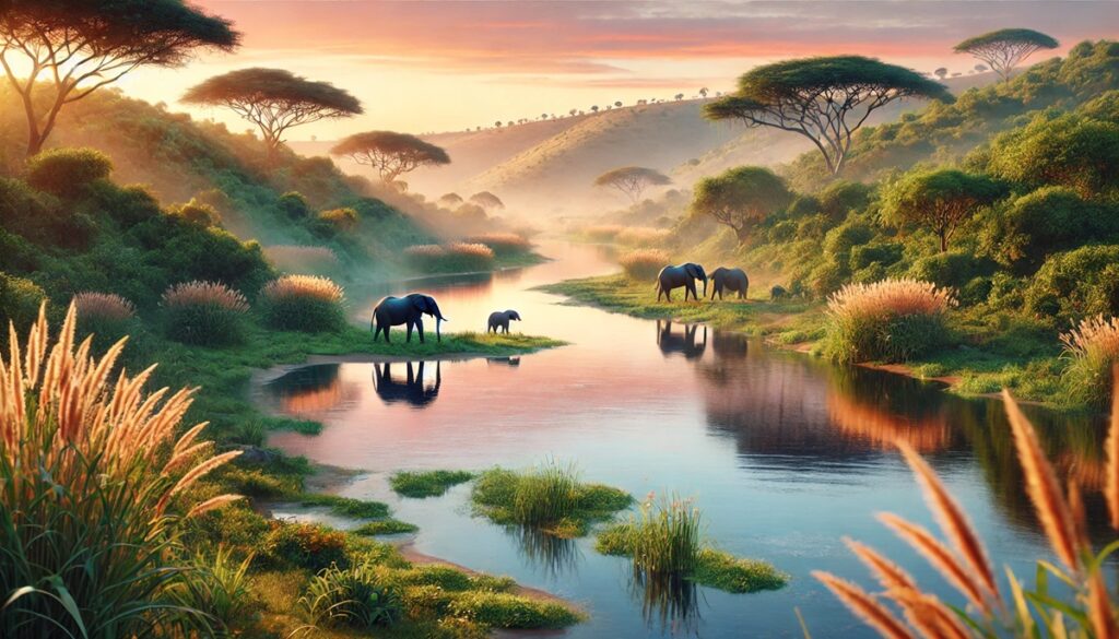
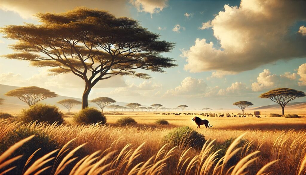
The grassland biome spans about 9 million square miles, encompassing regions like the African savanna, North American prairies, and Eurasian steppes. These open landscapes are dominated by grasses, providing crucial habitats for grazing animals like bison, antelope, and zebras. Grasslands have supported human civilizations for millennia, serving as fertile grounds for agriculture and livestock. Stories of the Great Plains in the United States and the nomadic tribes of Mongolia illustrate the deep connection between grasslands and human history. Despite their importance, grasslands are among the most threatened biomes, with vast areas converted for farming or urban development.
#5: Tropical Rainforest – 6.7 Million Square Miles
Tropical rainforests, covering 6.7 million square miles, are the most biodiverse biomes on Earth. Found in regions like the Amazon, Congo Basin, and Southeast Asia, these lush forests are home to countless species, many of which remain undiscovered. Rainforests play a critical role in regulating the global climate by absorbing carbon dioxide and releasing oxygen. Indigenous communities have lived sustainably within these forests for centuries, drawing upon their rich resources for food, medicine, and cultural traditions. Despite their importance, rainforests are under constant threat from deforestation, emphasizing the need for conservation efforts.
#6: Tundra Biome – 5 Million Square Miles
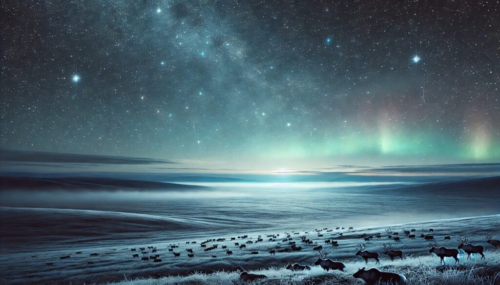
The tundra biome covers 5 million square miles, stretching across the Arctic, Antarctic, and high mountain ranges. Known for its extreme cold, permafrost, and sparse vegetation, the tundra is one of the harshest environments on Earth. Polar bears, Arctic foxes, and migratory birds thrive here, demonstrating incredible adaptations. Indigenous groups like the Inuit have lived in the tundra for generations, relying on its resources for survival. Climate change poses significant challenges to this fragile biome, as melting permafrost releases greenhouse gases and alters its ecosystems.
#7: Temperate Forest – 4 Million Square Miles
Temperate forests cover 4 million square miles across North America, Europe, and Asia. These biomes are characterized by their distinct seasons and diverse tree species, including oaks, maples, and pines. Temperate forests are rich in wildlife, from deer and foxes to countless bird species. Their history is intertwined with human civilization, serving as sources of timber, food, and inspiration for literature and art. Conservation efforts aim to preserve these forests amid threats like logging and urbanization.
#8: Chaparral Biome – 800,000 Square Miles
The chaparral biome, covering 800,000 square miles, is found in regions like California, the Mediterranean, and parts of Australia. Known for its mild, wet winters and hot, dry summers, the chaparral supports unique vegetation like shrubs and hardy trees. This biome is highly prone to wildfires, which play a natural role in its ecosystem. Stories of wine production in the Mediterranean and the Hollywood Hills highlight the cultural significance of chaparral regions.
#9: Freshwater Biome – 200,000 Square Miles
The freshwater biome, encompassing lakes, rivers, and wetlands, spans 200,000 square miles. These ecosystems are vital for human survival, providing drinking water, food, and transportation. Iconic rivers like the Nile and the Amazon are central to human history and culture. Freshwater biomes support diverse wildlife, from fish and amphibians to aquatic plants. Pollution and overuse threaten these critical resources, emphasizing the need for sustainable management.
#10: Coral Reef Biome – 110,000 Square Miles
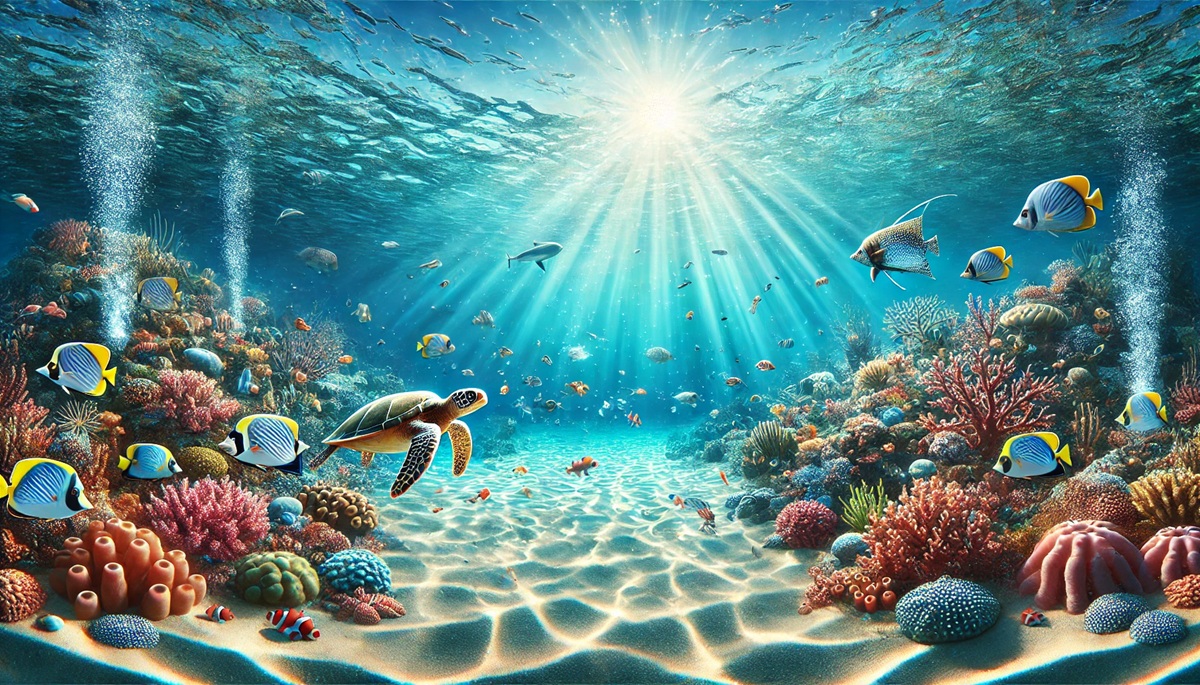
Coral reefs, covering 110,000 square miles, are among the most biodiverse and fragile ecosystems on Earth. Found in tropical oceans, these underwater biomes are often called “rainforests of the sea.” Coral reefs provide habitats for countless marine species and protect coastlines from erosion. The Great Barrier Reef in Australia is a UNESCO World Heritage Site, attracting millions of visitors each year. Efforts to combat coral bleaching and overfishing are crucial to preserving these vibrant ecosystems.
The largest biomes in the world showcase the planet’s incredible diversity and resilience. From the vast oceans to the lush rainforests, these ecosystems are essential to life on Earth. Understanding and preserving these biomes is critical for ensuring a sustainable future for generations to come.


