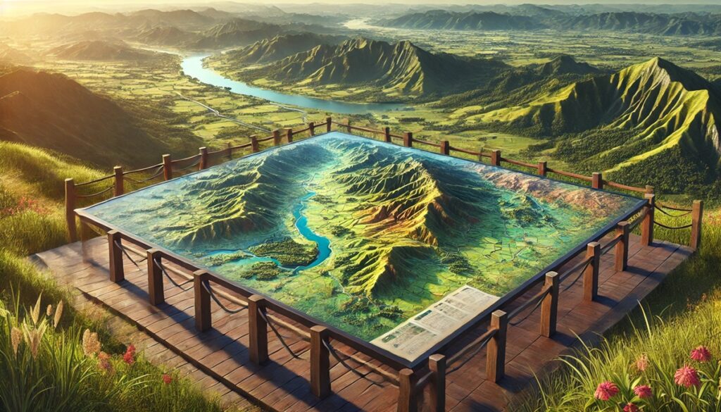
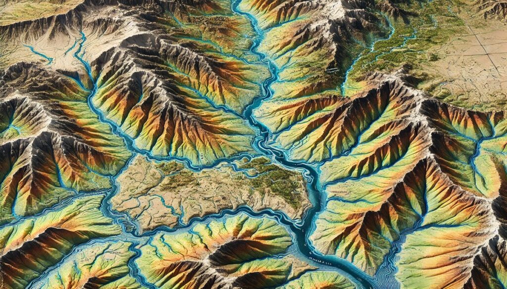
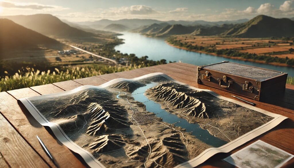
Drainage basins are the hidden architects of our landscapes, shaping the flow of water across vast regions, collecting it from rivers, streams, and rainfall, and guiding it toward oceans or lakes. These natural systems are not only essential for sustaining ecosystems but also for supporting human life, agriculture, and industry. Maps of drainage basins allow us to visualize the flow of water, transforming abstract concepts into tangible, understandable models. A watershed map can be a mesmerizing portrayal of the land, revealing how rivers snake through valleys, how mountains capture rainfall, and how floodplains provide life-giving resources to surrounding areas. With contour lines, color gradients, and marked water systems, these maps provide an in-depth look into the interconnectedness of nature and human activity. They show us where water will flow, which areas are susceptible to floods, and how water can be managed to prevent disaster or ensure sustainable use. The historical significance of these maps is immense; early civilizations settled near rivers, using maps to navigate trade routes, irrigate crops, and develop infrastructure. Today, watershed maps are vital tools for scientists, conservationists, and urban planners, helping them track water pollution, develop flood control systems, and make decisions about land use. These maps tell us stories about the land—the mountains that rise to capture rainfall, the forests that help filter water, and the human settlements that have thrived by learning to work with, rather than against, the flow of water. As we face climate change, these maps will only become more important, offering insights into how water will behave in the future and guiding our efforts to protect and preserve the vital resource that connects all life.
Top 10 Largest Drainage Basins in the United States
Top 10 Largest Drainage Basins in the United States
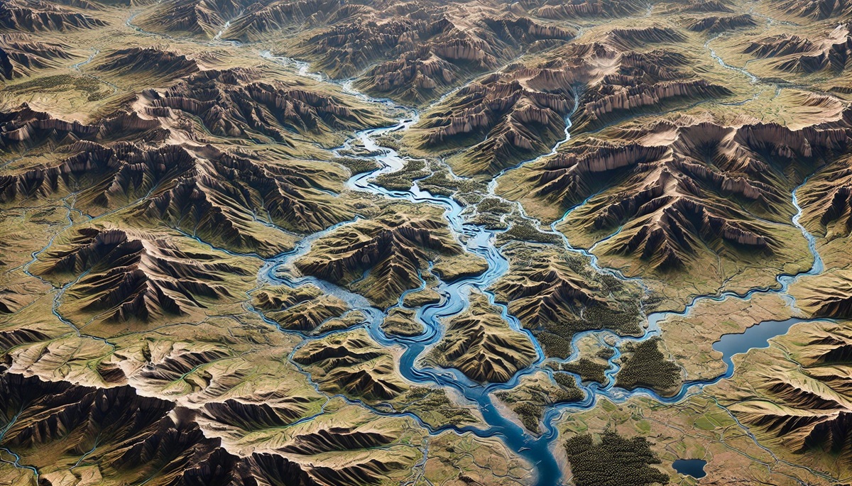
WhiteClouds builds 3D Raised Relief Maps
Drainage basins are the geographical areas that collect and channel water into a common outlet like rivers, lakes, or oceans. These vast networks of water systems are integral to sustaining ecosystems, providing water for drinking, irrigation, and industry, and shaping landscapes. The United States, with its diverse geographical features, is home to some of the largest and most significant drainage basins. These basins serve not only as vital sources of water but also as symbols of historical, economic, and ecological importance. Below is a list of the top 10 largest drainage basins in the U.S., ranked by their size, highlighting the richness and impact of each one.
#1: The Mississippi-Missouri River Basin, 1,150,000 Square Miles
The Mississippi-Missouri River Basin is the largest drainage basin in the United States, covering an immense 1,150,000 square miles. This basin stretches across 31 U.S. states and two Canadian provinces, draining a vast portion of North America. The Mississippi River, which is the longest river in the U.S., along with its major tributary, the Missouri River, forms the backbone of this system. The basin plays a vital role in the nation’s economy, serving as a critical transportation route for goods traveling from the interior of the country to the Gulf of Mexico. One of the most fascinating aspects of this basin is its history during the westward expansion of the United States. Early explorers, including Lewis and Clark, used the Mississippi River to navigate their way through the uncharted territories, marking the beginning of westward settlement. The Mississippi-Missouri River Basin is also home to diverse ecosystems, from wetlands to forests, and supports a rich variety of wildlife, including migratory birds, fish, and other species. The basin faces ongoing challenges from pollution, habitat loss, and flooding, but efforts are continuously made to manage its resources and preserve its ecosystems.
#2: The Yukon River Basin, 330,000 Square Miles
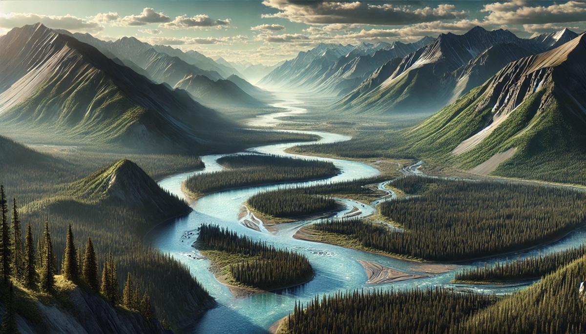
The Yukon River Basin covers approximately 330,000 square miles, primarily in Alaska, with a portion extending into Canada. The Yukon River itself is one of the longest rivers in North America, flowing from the mountainous regions of British Columbia in Canada to the Bering Sea in Alaska. The watershed is a crucial water source for people living in remote communities along its path, particularly in Alaska, where roads are scarce and the river serves as a primary transportation route. The basin is known for its stunning natural beauty, with pristine forests, tundra, and the majestic Wrangell Mountains, which provide the source of the river’s water. One of the most notable periods in the history of the Yukon River Basin was during the Klondike Gold Rush in the late 19th century when prospectors flooded the region in search of fortune. The river was a critical route for miners bringing in supplies and traveling to the goldfields. Today, the river remains central to the culture and economy of the region, with the salmon migration being one of the key natural phenomena observed every year. The Yukon River Basin is also known for its rich biodiversity, including caribou, moose, and bears, which thrive in the wilderness.
#3: The Colorado River Basin, 246,000 Square Miles
The Colorado River Basin covers 246,000 square miles, flowing through seven U.S. states: Colorado, Utah, Arizona, Nevada, New Mexico, Wyoming, and California. The Colorado River is known for carving out the Grand Canyon, one of the most iconic landscapes in the world, and is a vital water source for over 40 million people in the southwestern United States. The basin is crucial for agriculture, especially in desert regions, where it irrigates vast amounts of land. The river also provides water to major cities like Phoenix, Las Vegas, and Los Angeles, and is used for hydroelectric power generation, with the Hoover Dam being one of the most famous landmarks in the basin. One interesting aspect of the Colorado River Basin is the complex system of water rights and treaties that govern the distribution of water, especially given that it flows through multiple states and is a lifeline for several different regions. Historically, the basin has been a central point for water management debates, as the growing population and prolonged droughts place increasing pressure on the river. Despite these challenges, the Colorado River Basin remains one of the most heavily managed river systems in the world, with numerous conservation efforts underway to ensure its sustainability.
#4: The Columbia River Basin, 258,000 Square Miles
The Columbia River Basin spans 258,000 square miles and is located in the Pacific Northwest of the United States. The Columbia River is the fourth-largest river in North America, flowing from the Rocky Mountains in Canada through Washington and Oregon before emptying into the Pacific Ocean. The watershed is crucial for the region’s economy, providing water for agriculture, power generation, and transportation. The Columbia River Basin is home to some of the most productive salmon fisheries in the world, although salmon populations have declined due to overfishing, dams, and habitat destruction. One of the most significant features of the Columbia River is the Bonneville Dam, one of the largest hydroelectric dams in the world, which provides electricity to millions of people. The basin also supports a rich ecosystem, with wetlands, forests, and grasslands serving as habitats for a variety of wildlife. The Columbia River is not only an economic powerhouse but also an integral part of local cultures, particularly for the Indigenous peoples of the Pacific Northwest, who have relied on the river for fishing and cultural practices for thousands of years.
#5: The Ohio River Basin, 200,000 Square Miles
The Ohio River Basin covers approximately 200,000 square miles, draining water from parts of 14 U.S. states. The Ohio River is a major tributary of the Mississippi River and serves as a key transportation route for goods, linking the interior of the United States with the Gulf of Mexico. The basin includes important cities such as Pittsburgh, Cincinnati, and Louisville, all of which have developed around the river. The Ohio River Basin is also vital for agriculture, with its fertile lands supporting crops like corn, soybeans, and wheat. Historically, the Ohio River played a significant role during the expansion of the United States, serving as a primary route for settlers heading west. The river was also a major dividing line during the Civil War, marking the boundary between free and slave states. Today, the Ohio River is still crucial for industry and shipping, although pollution and habitat loss have affected the river’s health. Efforts to clean up the Ohio River and protect its ecosystems are ongoing, and it remains a key feature of the region’s landscape.
#6: The Snake River Basin, 108,000 Square Miles
The Snake River Basin spans 108,000 square miles and is one of the most important watersheds in the Pacific Northwest. The Snake River, a major tributary of the Columbia River, flows through Wyoming, Idaho, Oregon, and Washington. The basin is vital for agriculture, particularly in Idaho, where the fertile land is ideal for growing crops such as potatoes. The river also plays an essential role in hydroelectric power generation, with several dams located along its course. One interesting fact about the Snake River is that it is home to the famous Chinook salmon, which historically migrated through the river in large numbers. However, the construction of dams and water diversion for irrigation has severely impacted these salmon populations. Efforts to restore salmon habitats in the Snake River have been ongoing, with fish ladders and other technologies being implemented to help salmon navigate the river. The Snake River Basin is also home to diverse wildlife, including bears, eagles, and otters, and remains an important ecological and economic resource.
#7: The Susquehanna River Basin, 27,000 Square Miles
The Susquehanna River Basin covers 27,000 square miles, draining parts of New York, Pennsylvania, and Maryland. The Susquehanna River is one of the oldest rivers in North America, and it is the longest river on the East Coast. The basin is important for water supply, agriculture, and recreation. The river is known for its scenic beauty, with valleys, hills, and forests surrounding its course. The Susquehanna River is also significant for its role in the Chesapeake Bay watershed, as it is the largest tributary to the bay. The river helps to regulate the water quality in the bay, although pollution from agricultural runoff and urban development has negatively impacted water quality. Local stories highlight the river’s historical significance, as it was a vital trade route for early settlers and Indigenous peoples. Today, the Susquehanna River Basin remains a critical resource for millions of people, but it faces challenges from water pollution and habitat loss.
#8: The Platte River Basin, 85,000 Square Miles
The Platte River Basin spans 85,000 square miles, draining parts of Colorado, Wyoming, and Nebraska. The Platte River is an important tributary of the Missouri River and flows through the central Great Plains. The basin is crucial for irrigation and agriculture, particularly in Nebraska, where it supports the production of crops like corn and wheat. The river is also historically significant, as it was a major route for settlers moving westward during the 19th century, particularly along the Oregon Trail. The Platte River is famous for its role in supporting migratory birds, especially during the spring and fall, when vast numbers of sandhill cranes stop to rest along its wetlands. However, the river faces challenges from water diversion for irrigation, which has reduced its flow in some areas and impacted habitats. Conservation efforts are underway to restore wetlands and protect the river’s ecosystems.
#9: The Tennessee River Basin, 40,000 Square Miles
The Tennessee River Basin spans around 40,000 square miles, draining parts of Tennessee, Alabama, Mississippi, Kentucky, and North Carolina. The Tennessee River is a major tributary of the Ohio River and is essential for water supply, transportation, and hydroelectric power generation. The river has been shaped by the Tennessee Valley Authority (TVA), which was created during the Great Depression to manage flood control and provide electricity to the region. The river supports a wide range of ecosystems, from forests to wetlands, and is home to species such as freshwater mussels and fish. The Tennessee River Basin is also important for agriculture, particularly in cotton and soybean production. The river’s historical significance lies in its role in the region’s development, providing a major transportation route and supporting the industrialization of the area. Today, the basin faces challenges from pollution, urbanization, and climate change, but efforts to manage and protect its resources continue.
#10: The Red River Basin, 24,000 Square Miles
The Red River Basin spans approximately 24,000 square miles, draining parts of Texas, Oklahoma, Arkansas, and Louisiana. The Red River is a major tributary of the Mississippi River and is essential for water supply and agriculture in the region. The river was historically important for trade, serving as a route for the transport of goods across the southern United States. The basin also played a significant role in the Great Red River Flood of 1949, one of the most devastating floods in the region’s history. The Red River is vital for the region’s economy, supporting cotton and rice production, but it faces challenges from flooding, pollution, and habitat loss. The river and its basin are undergoing conservation efforts to improve water quality and restore habitats for wildlife.
These top 10 largest drainage basins in the United States reveal the immense geographical diversity of the country and the critical role these watersheds play in supporting life, ecosystems, and economies. From the vast Mississippi-Missouri River Basin to the smaller but significant Red River Basin, each of these watersheds is vital to understanding the interconnectedness of water, land, and human activity. Protecting these basins and their resources is essential for future generations, ensuring a sustainable balance between development and environmental stewardship.


