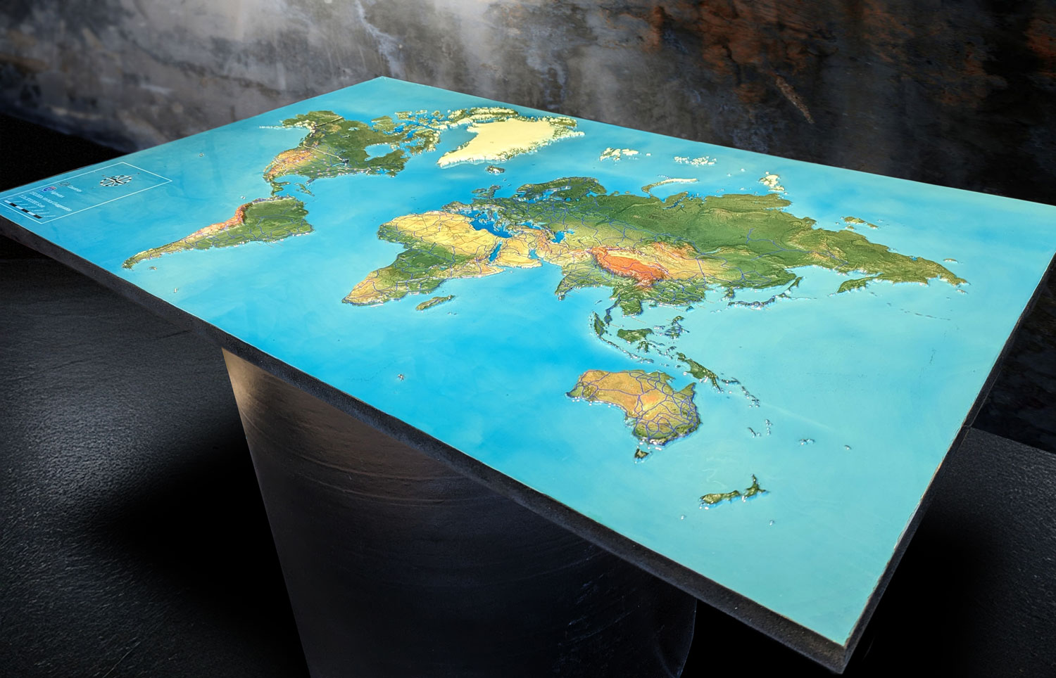
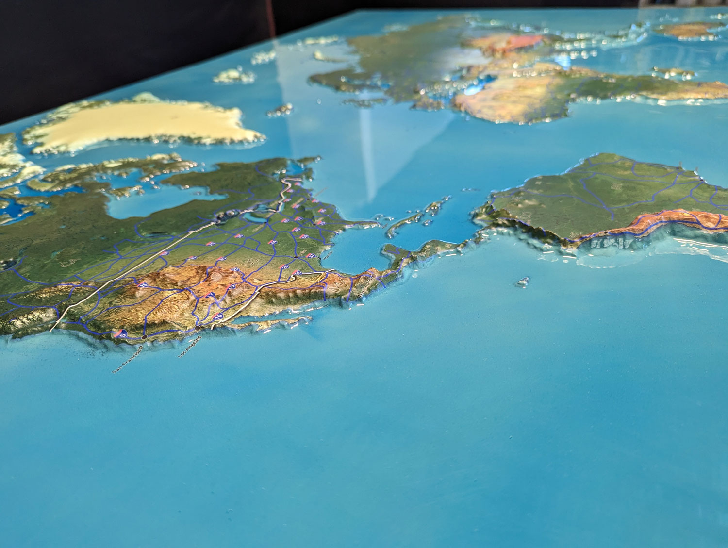
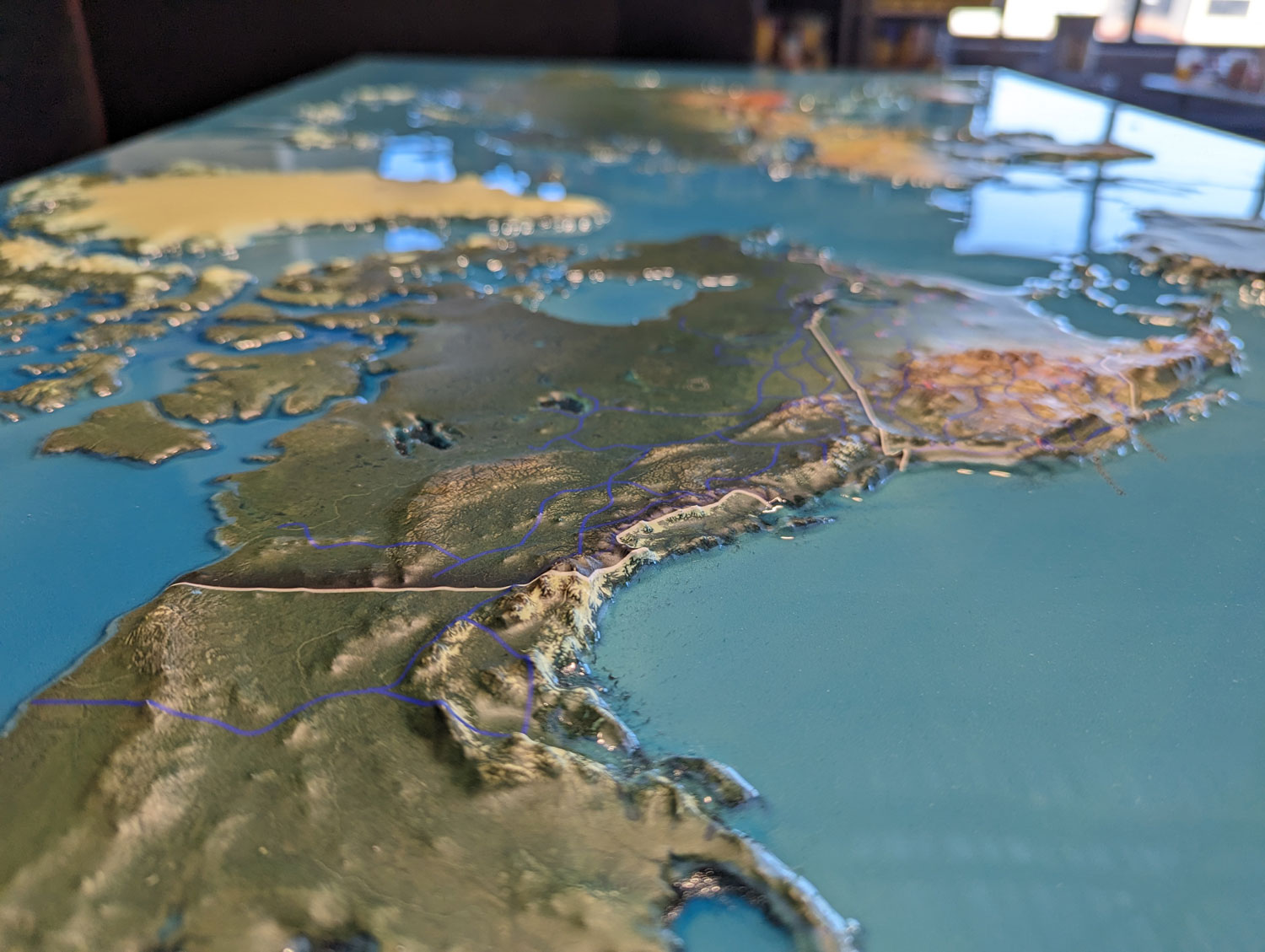
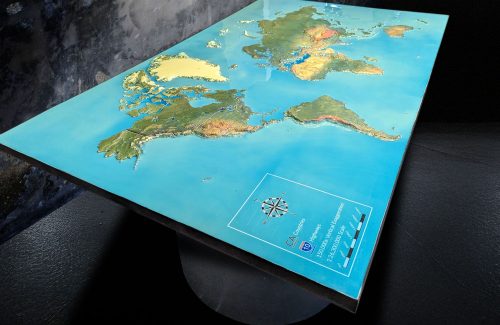
3D Map of the World
3D Map of the World
We Build Custom 3D Raised Relief Maps
Exploring the Wonders of a 3D Map of the World
In an age where technology continuously reshapes our perception of the world, 3D maps stand out as a remarkable tool that enhances our understanding of geography. They provide not only an aesthetic view but also a functional one that aids in navigation, education, and exploration. From breathtaking landscapes to urban jungles, 3D maps bring a new dimension to our interaction with the Earth, inviting us to engage with our surroundings in a more meaningful way. In this blog, we will dive into the fascinating world of 3D maps, exploring their creation, significance, applications, and the future they promise.

The Significance of 3D Maps in Understanding Our World
3D maps represent a significant leap forward from traditional 2D maps. They provide a realistic perspective of terrain, showcasing elevation changes, slopes, and natural features with unparalleled clarity. This dimensionality allows for better visualization of geographical data, making it easier for users to comprehend complex landscapes and structures.
One of the most notable advantages of 3D maps is their ability to convey information more effectively. For example, a 3D map can illustrate the steepness of a mountain range or the layout of a city in a way that 2D maps cannot. This capability is particularly valuable in education, where visual aids enhance learning and retention. Students studying geography can grasp concepts like topography, landforms, and urban planning much more readily when presented in three dimensions.
Moreover, 3D maps have become essential tools for various industries, including urban planning, environmental science, and tourism. They enable planners to visualize developments within a city, assess environmental impact, and enhance tourism experiences by showcasing attractions in a visually appealing manner. As the demand for accurate and engaging geographical information grows, so too does the relevance of 3D mapping technology.
The Intricate Fabrication Process of 3D Maps
The creation of 3D maps is a meticulous process that combines advanced technology, data collection, and artistic design. Understanding how these maps are fabricated reveals the dedication and innovation involved in bringing these geographical representations to life.
Data Collection: The foundation of any 3D map lies in accurate geographic data. Data collection often involves a mix of satellite imagery, aerial surveys, and ground-level measurements. Technologies such as LiDAR (Light Detection and Ranging) are frequently employed to capture high-resolution elevation data, allowing cartographers to gather intricate details about terrain and features.
Creating Digital Elevation Models (DEMs): After collecting the necessary data, the next step is to process it into a Digital Elevation Model (DEM). This model forms the backbone of the 3D representation. Using specialized software, cartographers filter the raw data to eliminate errors and noise, resulting in a clean and precise elevation model that accurately reflects the Earth’s surface.
3D Rendering: Once the DEM is created, the data is transformed into a 3D representation using advanced mapping software. This rendering process allows users to visualize terrain from various angles and perspectives. Color gradients are often applied to depict different elevation levels, enhancing the visual appeal and making the map more engaging.
Incorporating Features and Landmarks: After rendering the terrain, cartographers add essential features and landmarks to the map. This can include geographical elements like rivers, mountains, and forests, as well as man-made structures such as buildings, roads, and monuments. Icons and labels provide users with critical information, creating a comprehensive resource that enriches the user’s understanding of the area.
Quality Assurance: Before the maps are finalized, they undergo rigorous quality assurance checks. This process involves verifying the accuracy of the data, the clarity of the visuals, and the usability of the map. Feedback from users and experts is invaluable during this stage, ensuring the final product meets the needs of its audience.
Production and Distribution: Once the maps are complete, they are produced in various formats, including printed versions and interactive digital maps. These maps can be distributed through websites, educational platforms, and outdoor retailers, making them accessible to anyone looking to explore the world in three dimensions.
The blend of technology, data analysis, and artistic design in the fabrication of 3D maps results in an invaluable tool for understanding our planet. These maps not only enhance navigation but also foster a deeper appreciation for the natural world.

Applications of 3D Maps in Various Fields
The versatility of 3D maps extends across numerous industries and applications. From enhancing urban planning to revolutionizing tourism, the potential of these maps is vast and varied.
Urban Planning and Development: In urban planning, 3D maps play a crucial role in visualizing potential developments and assessing their impact on existing landscapes. City planners utilize these maps to simulate new buildings, parks, and infrastructure projects, allowing them to analyze how these changes will affect the urban environment. This visual approach aids in decision-making and facilitates communication between stakeholders, ensuring that all parties can grasp the implications of proposed developments.
- 3D maps also assist in evaluating the potential for urban sprawl and helping cities plan for future growth. By visualizing how areas will develop over time, planners can identify potential challenges and opportunities, making informed decisions that benefit the community.
- Environmental Monitoring and Conservation: Environmental scientists leverage 3D maps to monitor changes in ecosystems and assess the impact of human activities on the environment. These maps provide insights into deforestation, land degradation, and climate change effects, enabling researchers to visualize trends over time.
- Additionally, 3D maps are essential for conservation efforts. By highlighting critical habitats and biodiversity hotspots, these maps guide conservationists in prioritizing areas for protection. The ability to visualize complex ecological data enhances the understanding of ecosystems and informs strategies for preserving biodiversity.
- Tourism and Recreation: In the tourism industry, 3D maps enhance the visitor experience by showcasing attractions in a visually appealing manner. Tourists can explore destinations from different angles, gaining a better understanding of the area before they arrive. This immersive experience helps travelers plan their itineraries and discover hidden gems they may not have considered otherwise.
- Furthermore, 3D maps can be used in recreational activities such as hiking, biking, and skiing. Enthusiasts can visualize trails, understand elevation changes, and navigate their adventures with confidence. By providing a clearer picture of the terrain, these maps empower outdoor enthusiasts to explore and enjoy nature safely.
The Future of 3D Mapping Technology
As technology continues to evolve, the future of 3D mapping holds exciting possibilities. Innovations such as augmented reality (AR) and virtual reality (VR) are poised to transform how we interact with geographical information.
Imagine exploring a 3D map of the world in a virtual reality environment, where users can fly over mountains, navigate through cities, and experience different landscapes up close. This immersive technology would allow individuals to engage with their surroundings in a way that was previously unimaginable, enhancing learning, exploration, and appreciation for the planet.
Moreover, the integration of real-time data into 3D maps could revolutionize navigation and exploration. By incorporating live updates on weather, traffic, and other factors, users could make informed decisions about their routes and activities. This dynamic approach would enhance safety and improve the overall experience of exploring new places.

The Educational Value of 3D Maps
One of the most significant benefits of 3D maps is their educational potential. Educators can leverage these maps to teach geography, science, history, and other subjects in engaging ways. Visual learning aids enhance students’ comprehension and retention, making complex topics more accessible.
3D maps provide an interactive platform for students to explore different regions, understand geographical concepts, and visualize historical events. For instance, a 3D map can depict the rise and fall of ancient civilizations, illustrating the geographical factors that influenced their development. This immersive approach fosters curiosity and encourages students to engage with the material actively.
Furthermore, 3D maps can be integrated into various educational tools and platforms, making them accessible to learners of all ages. As technology continues to advance, the potential for using 3D maps in education will only expand, transforming how we teach and learn about the world.
Embracing the Power of 3D Maps
In conclusion, 3D maps are a remarkable innovation that enhances our understanding of the world. From their intricate fabrication process to their diverse applications across various industries, these maps provide a powerful tool for navigation, education, and exploration. As technology continues to evolve, the future of 3D mapping promises exciting advancements that will further enrich our experiences and interactions with our environment.
Whether you’re an urban planner, environmental scientist, outdoor enthusiast, or student, the insights provided by 3D maps can enhance your understanding and appreciation of our planet. Embrace the power of this technology, and let it guide you on your journey of discovery and exploration. The world is waiting to be explored, and 3D maps are the key to unlocking its wonders.
Check out WhiteClouds’ 3D Maps for more information on 3D maps.
