Big Tupper 3D Maps
Big Tupper 3D Maps
We Build Custom 3D Big Tupper Maps
Exploring Big Tupper Ski Area with 3D Maps: A New Perspective on Adirondack Skiing
Big Tupper Ski Area, a hidden gem in the Adirondack Mountains of New York, has long been cherished by skiers for its natural beauty, uncrowded slopes, and a back-to-basics skiing experience. Unlike the flashy resorts, Big Tupper offers a no-frills approach to skiing that focuses on the pure joy of carving down a mountain, surrounded by the serene wilderness of the Adirondacks. This old-school charm is one of the many reasons why skiers and snowboarders keep coming back to Big Tupper. And now, with the introduction of 3D maps, visitors can explore the mountain in a more engaging and detailed way than ever before.
Big Tupper Ski Area 3D maps offer a dynamic view of the mountain’s rugged terrain, highlighting everything from the beginner-friendly slopes to the thrilling black-diamond trails. Whether you’re planning your first visit or you’ve been skiing at Big Tupper for years, these 3D maps provide a deeper understanding of the terrain and make navigating the mountain easier. In this blog, we’ll explore how Big Tupper Ski Area 3D maps are created, their benefits for skiers, and take a closer look at some of the major ski runs that define this Adirondack treasure.

The Craftsmanship Behind Big Tupper Ski Area 3D Maps: Precision Meets Art
Creating a 3D map for a ski resort like Big Tupper is both a technical and artistic endeavor. To accurately represent the mountain’s natural terrain, mapmakers must rely on advanced technology and a keen understanding of the mountain’s unique features. The goal is to create a map that is both visually appealing and informative, giving skiers a realistic view of the slopes and the surrounding wilderness.
The fabrication process begins with the collection of topographical data using advanced technologies like LiDAR (Light Detection and Ranging) and satellite imaging. LiDAR is especially useful in ski resort mapping because it provides precise measurements of the mountain’s surface, including its elevation changes, slopes, ridgelines, and valleys. The laser pulses from LiDAR technology bounce off the terrain, collecting data points that are then processed to create a highly accurate digital elevation model (DEM). This model forms the backbone of the 3D map, capturing every contour and feature of the landscape.
Once the raw data is gathered, Geographic Information Systems (GIS) software is used to process it. The GIS software converts the topographical data into a 3D model, allowing designers to manipulate the terrain digitally. Every slope, tree line, and ridge is carefully modeled to reflect the true layout of Big Tupper. This step is crucial for ensuring that the final map is an accurate representation of the mountain’s terrain, which is known for its natural, ungroomed features and varying elevations.
With the DEM in place, the next phase involves bringing the map to life with visual elements. Designers use specialized software to add color, texture, and details that make the map not only functional but also engaging. Snow-covered slopes are rendered in white, while forested areas are shown in green. Ski trails are color-coded to indicate their difficulty: green for beginner, blue for intermediate, and black for advanced. This helps skiers quickly identify the trails that match their skill level and plan their routes accordingly.
Additional elements, such as the location of lifts, lodges, and base areas, are also added to the 3D map. These features are essential for helping skiers navigate the resort and find key amenities, whether they’re looking for a place to warm up or planning their route back to the base lodge. Some 3D maps are interactive, allowing users to zoom in on specific areas of the mountain, rotate the view to see the terrain from different angles, and explore detailed features like lift lines or terrain parks.
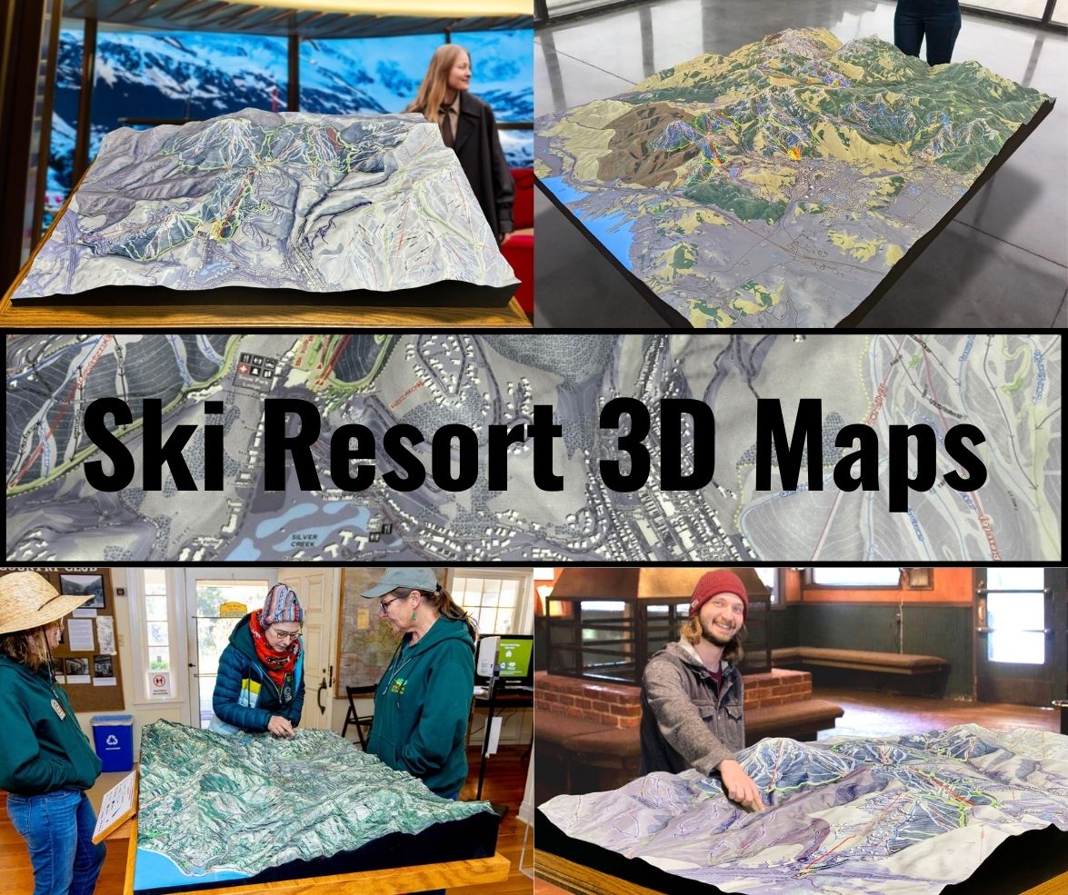
For ski resorts that choose to create physical models of their 3D maps, 3D printing or foam carving technologies are often used. These physical models are displayed in lodges or visitor centers, offering a hands-on way for guests to explore the mountain before they hit the slopes. At Big Tupper, the use of physical and digital 3D maps gives visitors a deeper understanding of the resort’s unique terrain, making it easier for them to plan their day on the mountain.
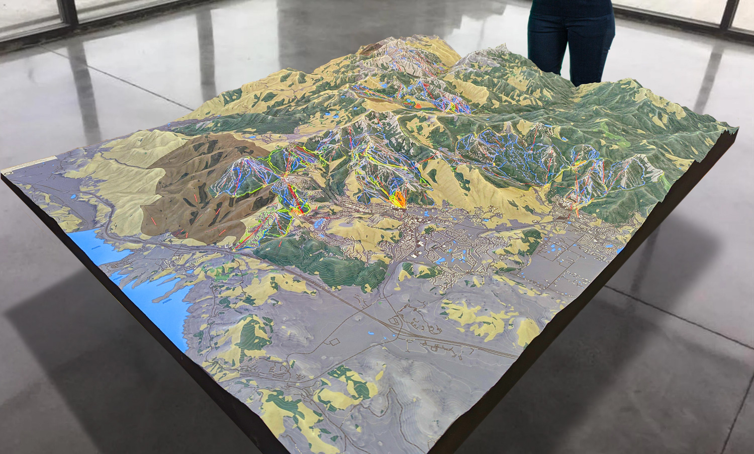
 Park City 3D Raised Relief Map
How Big Tupper Ski Area 3D Maps Enhance the Skiing Experience
While traditional 2D maps can offer a basic overview of a ski resort, 3D maps provide a much more immersive experience. By adding depth and detail, 3D maps give skiers a better understanding of the terrain, including elevation changes and the relationship between different trails. For Big Tupper Ski Area, where the natural landscape plays a key role in the skiing experience, this added dimension is especially important.
For beginners, one of the greatest benefits of 3D maps is their ability to showcase the gentler slopes of the mountain. Skiers who are new to the sport can visualize how steep or mild a trail is before committing to it, helping to build confidence and reduce the risk of ending up on a run that’s too difficult. Big Tupper offers several green-circle trails that are perfect for beginners, and the 3D map highlights these areas in great detail, showing the gradual inclines and wide, forgiving turns that are ideal for learning.
Intermediate and advanced skiers also benefit from the detailed information that 3D maps provide. Big Tupper is known for its long, flowing trails that meander through the Adirondack wilderness, offering a unique skiing experience that blends natural beauty with thrilling descents. The 3D map shows how these trails connect, giving skiers a better understanding of the mountain’s layout and helping them plan routes that take full advantage of the terrain. For more experienced skiers, the 3D map also highlights the steeper sections and natural glades, allowing them to seek out the most challenging runs and explore the mountain’s hidden gems.
Expert skiers, in particular, benefit from the ability to see the off-piste areas of the mountain. Big Tupper is known for its backcountry-style glades and off-trail skiing, which offer a more adventurous experience. With the 3D map, expert skiers can visualize the location of these glades, see how the tree lines run, and plan their routes through the natural terrain. This adds an extra level of excitement to the skiing experience, allowing adventurous skiers to explore Big Tupper’s rugged wilderness with confidence.
Families also benefit from the clarity that 3D maps provide. With the ability to see the entire resort in three dimensions, families can easily find trails that suit everyone’s ability level and plan their day accordingly. Whether it’s finding beginner trails for young children or identifying safe meeting points, the 3D map helps families navigate the resort with ease. The map also highlights the location of key amenities, such as the base lodge, parking areas, and dining options, ensuring that families can make the most of their day at Big Tupper.
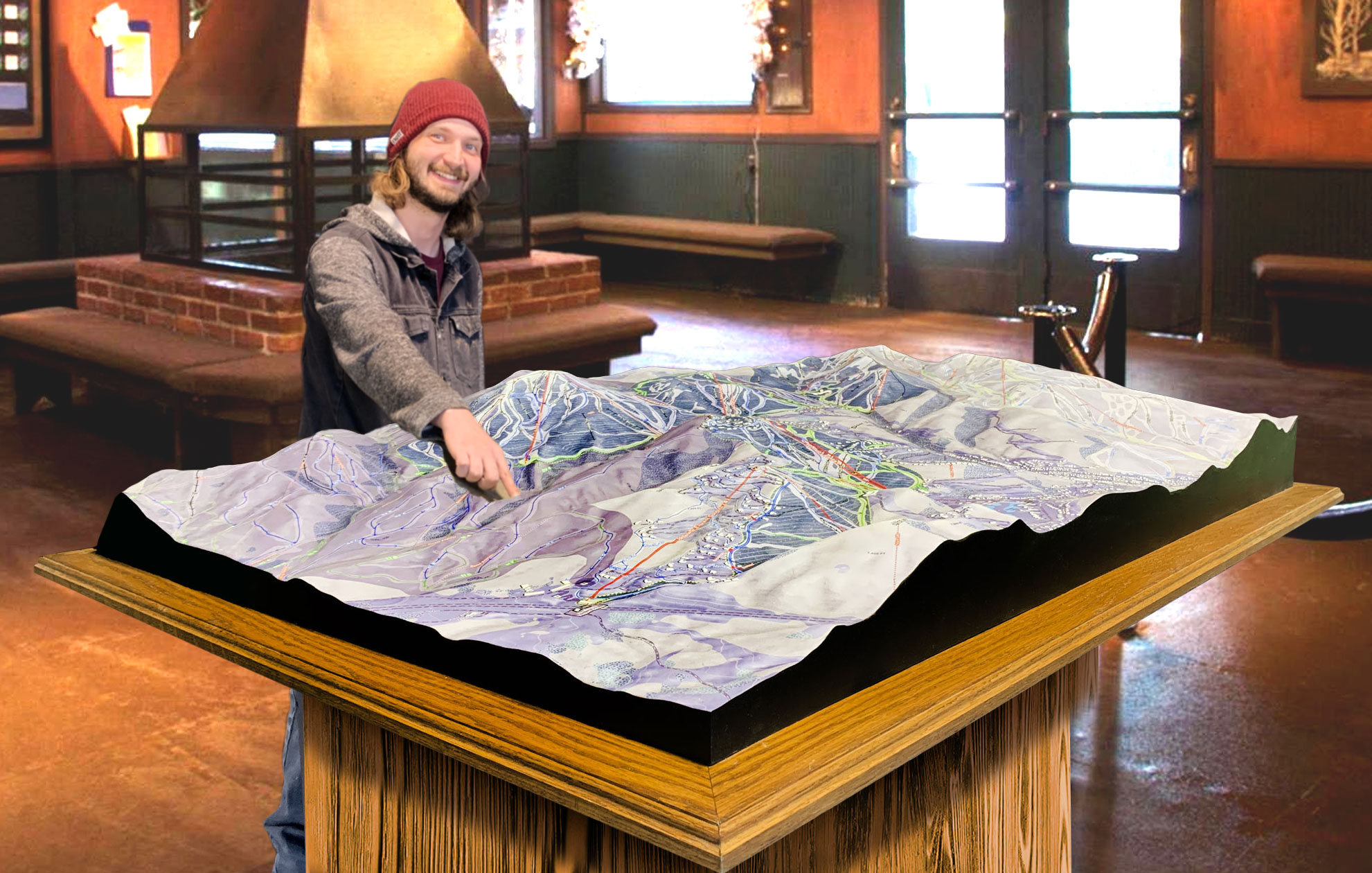
 Deer Valley 3D Raised Relief Map
Exploring the Major Ski Runs at Big Tupper Ski Area
Big Tupper Ski Area is renowned for its diverse terrain, offering everything from gentle green-circle trails for beginners to challenging black-diamond runs for expert skiers. The mountain’s natural beauty and variety of runs make it a destination for skiers who appreciate a more rugged, off-the-beaten-path experience. Here’s a closer look at some of the major ski runs at Big Tupper, as highlighted on the resort’s 3D maps.
Twister: Twister is one of Big Tupper’s most popular intermediate runs, offering a long, winding descent that takes skiers through a mix of wide-open slopes and tree-lined sections. This blue-square trail is perfect for intermediate skiers who want to enjoy a scenic ride while working on their carving technique. Twister’s gentle curves and consistent pitch make it a fun and relaxing run, while its length gives skiers plenty of time to take in the views. On the 3D map, Twister is clearly marked, showing its flow through the mountain and its connections to other key trails.
Big Dipper: Big Dipper is another favorite for intermediate skiers, offering a long, flowing descent from the top of the mountain to the base. This trail is perfect for those who enjoy cruising at a comfortable pace, with plenty of room for wide turns and smooth carving. Big Dipper’s gradual incline makes it accessible to most skiers, and its location on the mountain provides stunning views of the surrounding Adirondacks. The 3D map highlights Big Dipper’s path from top to bottom, making it easy to plan a full-mountain descent.
McCormack’s Surprise: For advanced skiers looking for a challenge, McCormack’s Surprise is one of Big Tupper’s signature black-diamond runs. This steep, technical trail offers a thrilling ride with sharp drops, natural obstacles, and tight turns. McCormack’s Surprise is known for its rugged, ungroomed terrain, making it a favorite for expert skiers who enjoy testing their skills on more difficult terrain. The 3D map emphasizes the steep gradient of McCormack’s Surprise, giving advanced skiers a clear view of what to expect before they tackle the trail.
Glades Area: Big Tupper’s glades are a highlight for expert skiers who enjoy off-piste terrain. These natural, tree-lined areas offer a backcountry-style skiing experience, with plenty of powder and untouched snow. The 3D map clearly shows the location of these glades, giving skiers the ability to plan their route through the trees and find the best lines. The glades are perfect for those who want to explore the mountain’s wild side while enjoying a more technical skiing experience.
Chair 3 Lift Line: Chair 3 Lift Line is a classic black-diamond trail that runs directly under the lift, offering expert skiers a steep, challenging descent. The trail features moguls, tight turns, and natural obstacles, making it one of the most demanding runs on the mountain. The 3D map highlights the steep pitch and technical difficulty of Chair 3 Lift Line, helping expert skiers prepare for a fast, adrenaline-pumping ride.
Beginner’s Delight: For those new to skiing, Beginner’s Delight is the perfect green-circle trail to start on. This gentle slope provides a safe and easy environment for beginners to practice their turns and build confidence on the snow. Located near the base area, Beginner’s Delight is easily accessible and well-marked on the 3D map, making it an ideal choice for families and first-time skiers.
Conclusion: How Big Tupper Ski Area 3D Maps Enhance the Experience
Big Tupper Ski Area’s rugged charm, diverse terrain, and back-to-basics approach to skiing make it one of the most unique resorts in the Adirondacks. The introduction of 3D maps has transformed the way skiers and snowboarders navigate the mountain, providing a detailed and immersive view of the terrain that enhances the overall experience. Whether you’re a beginner looking for gentle slopes, an intermediate skier seeking long cruising runs, or an expert ready to tackle challenging glades, Big Tupper’s 3D maps offer the perfect tool for planning your adventure.
By combining cutting-edge technology with creative design, these 3D maps provide skiers with the clarity and confidence they need to make the most of their day on the mountain. From the precise detail of the terrain to the clear depiction of trails and amenities, Big Tupper’s 3D maps bring the mountain to life, making it easier than ever to explore one of the Adirondacks’ best-kept secrets.
Check out WhiteClouds’ 3D Maps for more information on 3D maps of Big Tupper Ski Resort.
