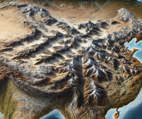
China Topo Map
China Topo Map
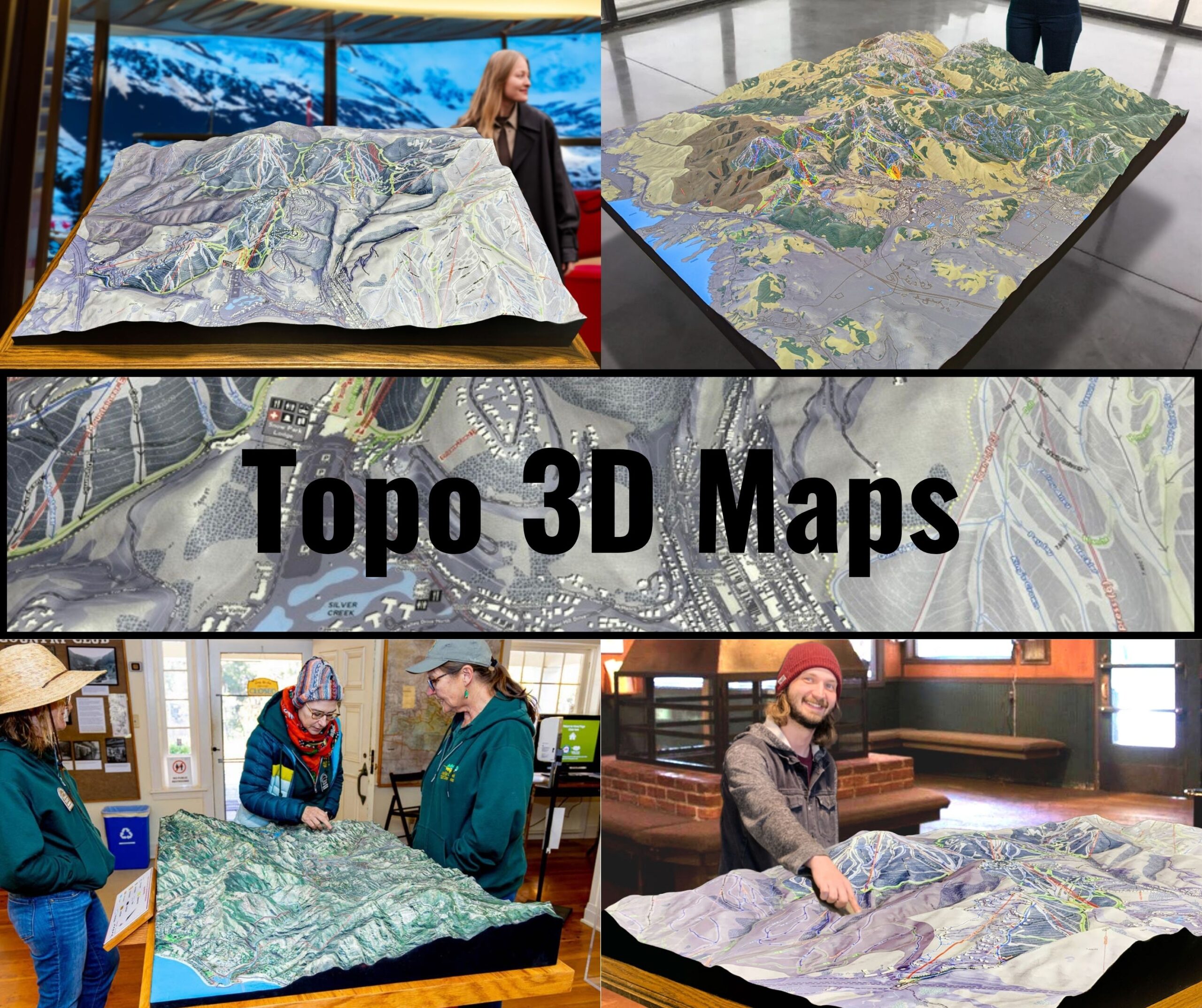
We Build Custom 3D Topo Maps
China Topo Maps: Exploring the Dynamic Terrain of the Middle Kingdom
China, the world’s third-largest country, boasts one of the most diverse and dramatic landscapes on Earth. From the towering peaks of the Himalayas and the arid expanses of the Gobi Desert to the fertile plains of the Yangtze River Delta and the karst landscapes of Guilin, China’s geography is as varied as its cultural heritage. Topographic maps are indispensable for understanding and navigating these complex terrains, providing detailed insights into the elevations, geological features, and natural landmarks of this vast nation.
China’s topographic maps, available in both 2D and 3D formats, serve as essential tools for adventurers, conservationists, urban planners, and educators. These maps capture the intricate details of China’s terrain, offering a gateway to exploring its breathtaking landscapes and rich natural resources.
The Himalayas: Home to the World’s Highest Peaks
The Himalayas, which border China’s southwest region, are home to Mount Everest and countless other towering peaks. This mountain range is not only a symbol of grandeur but also a region of immense geological and ecological importance.
In 2D topographic maps, the Himalayas are depicted with tightly packed contour lines, illustrating their steep slopes, high peaks, and glacial valleys. Features such as Mount Everest, Cho Oyu, and the Tibetan Plateau are prominently displayed.
3D topographic maps of the Himalayas bring their dramatic elevation changes to life, showcasing the height of peaks, the depth of glacial crevasses, and the expansive plateaus. These maps are invaluable for climbers, geologists, and researchers studying the impacts of climate change on the region’s glaciers.
The Gobi Desert: A Vast and Arid Wilderness
The Gobi Desert, spanning northern China and southern Mongolia, is a region of stark beauty and extreme conditions. Known for its rolling dunes, rocky outcrops, and ancient fossils, the Gobi is a land of adventure and mystery.
In 2D topographic maps, the Gobi Desert is represented with contour lines that detail its dunes, basins, and mountain ranges. Features such as the Flaming Cliffs, the Alxa Plateau, and ancient Silk Road routes are clearly marked.
3D topographic maps of the Gobi emphasize the height of its dunes, the ruggedness of its rocky landscapes, and the transitions to surrounding grasslands. These maps are essential for studying desertification, planning archaeological expeditions, and understanding its role in China’s history.
The Yangtze River Basin: China’s Lifeline
The Yangtze River, the longest river in Asia, flows through diverse landscapes, from highland plateaus to fertile plains. This region is the heart of China’s agriculture, industry, and culture.
In 2D topographic maps, the Yangtze River Basin is depicted with contour lines illustrating its valleys, floodplains, and surrounding mountain ranges. Features such as the Three Gorges, Poyang Lake, and Shanghai’s delta region are prominently displayed.
3D topographic maps of the Yangtze River Basin highlight the depth of its gorges, the width of its floodplains, and the patterns of its tributaries. These maps are essential for water resource management, flood control, and ecological conservation.
The Karst Landscapes of Guilin: A Natural Masterpiece
Guilin, located in southern China, is renowned for its unique karst landscapes, characterized by limestone peaks, caves, and rivers. This region’s natural beauty has inspired countless poets, artists, and travelers.
In 2D topographic maps, Guilin’s karst features are represented with contour lines that detail the sharp peaks, winding rivers, and underground cave systems. Features such as the Li River, Elephant Trunk Hill, and Reed Flute Cave are clearly marked.
3D topographic maps of Guilin emphasize the dramatic contrasts between its peaks and valleys, the intricacies of its river systems, and the depth of its caves. These maps are invaluable for tourism development, geological studies, and cultural preservation.
The Tibetan Plateau: The Roof of the World
The Tibetan Plateau, often referred to as the “Roof of the World,” is the highest and largest plateau on Earth. This region is a critical source of freshwater for much of Asia, hosting the headwaters of major rivers like the Mekong, Yangtze, and Yellow Rivers.
In 2D topographic maps, the Tibetan Plateau is depicted with contour lines that illustrate its vast flatlands, high peaks, and glacial formations. Features such as Lhasa, Mount Kailash, and Lake Nam Co are prominently displayed.
3D topographic maps of the Tibetan Plateau bring its vastness to life, showcasing the elevation changes, the patterns of glacial formations, and the intricate river networks. These maps are essential for studying water resources, glacial dynamics, and cultural heritage.
Urban Topography: Navigating China’s Megacities
China’s urban landscapes are as impressive as its natural wonders. Cities like Beijing, Shanghai, and Chongqing are characterized by dense infrastructure, surrounding mountains, and sprawling suburbs.
In 2D topographic maps, China’s urban areas are represented with contour lines that detail elevation changes, urban development, and water systems. Features such as the Forbidden City, the Bund, and the mountainous outskirts of Chongqing are clearly marked.
3D topographic maps of China’s cities highlight the interaction between urban expansion and natural landscapes, showcasing the elevation changes, river systems, and green spaces. These maps are essential for urban planning, disaster management, and cultural tourism.
How China Topo Maps Are Fabricated: Advanced Technology and Artistry
Creating topographic maps of China is a complex process that combines cutting-edge technology, comprehensive data collection, and skilled craftsmanship. The vastness and diversity of China’s terrain demand detailed and accurate mapping.
The 2D Mapping Process
The creation of 2D topographic maps begins with data collection using satellite imagery, aerial surveys, and LiDAR (Light Detection and Ranging). This data is processed using Geographic Information Systems (GIS) software to generate contour lines representing changes in elevation. In China, special attention is given to capturing the steep slopes of the Himalayas, the vast plains of the Yangtze River Basin, and the intricate karst landscapes of Guilin. Additional features such as roads, historical landmarks, and water systems are included to enhance usability.
The 3D Mapping Process
3D topographic maps are crafted by converting elevation data into three-dimensional models. Advanced software translates this data into digital 3D representations, which can then be displayed interactively or produced as physical models using 3D printing technology. For China, features like the towering peaks of Everest, the depth of the Three Gorges, and the sprawling urban landscapes are meticulously rendered.
Once printed, 3D maps are often painted and finished to emphasize key features such as elevation changes, vegetation zones, and water bodies. These maps provide a tactile and immersive way to explore China’s landscapes, making them invaluable for educators, researchers, and travelers.
China Topo Maps for Conservation, Recreation, and Education
Topographic maps play a vital role in conserving China’s natural resources, supporting outdoor recreation, and educating people about the country’s geography. With its vast ecosystems and iconic landmarks, China requires careful management to preserve its environment and heritage.
Conservation Applications
Conservationists use topographic maps to monitor changes in China’s landscapes, plan restoration projects, and protect critical habitats. For example, in the Tibetan Plateau, these maps guide efforts to preserve freshwater resources and manage glacial retreat. In the Gobi Desert, they are essential for combating desertification and preserving biodiversity.
Recreational Uses
For adventurers, topographic maps are indispensable tools for exploring China’s trails, waterways, and cultural landmarks. Hikers rely on these maps to navigate the Great Wall’s rugged sections, while kayakers use them to plan routes along the Li River. These maps also support activities like mountaineering, cultural tourism, and eco-adventures.
Educational Value
Educators and students use topographic maps to study China’s geography, geology, and ecosystems. These maps provide a hands-on way to learn about the country’s diverse landscapes, fostering a deeper understanding of its natural and cultural heritage.
Conclusion: China’s Landscapes Through the Lens of Topographic Maps
China’s topographic maps reveal the country’s breathtaking diversity in stunning detail. From the towering Himalayas to the lush Yangtze River Basin, the arid Gobi Desert, and the dynamic urban landscapes, these maps capture the beauty and complexity of China’s geography.
Whether you’re an adventurer exploring China’s natural wonders, a scientist studying its ecosystems, or an educator teaching about its geography, topographic maps provide an invaluable tool for understanding and appreciating this remarkable country. With both 2D and 3D options available, these maps ensure that future generations can continue to explore, protect, and celebrate the landscapes that make China so extraordinary.
Check out WhiteClouds’ 3D Maps for more information on China topo maps.

