Greek Peak 3D Maps
Greek Peak 3D Maps
We Build Custom 3D Greek Peak Maps
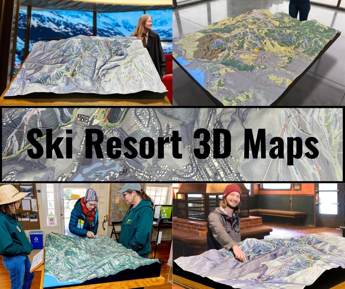
Greek Peak 3D Maps: A Masterpiece of Craftsmanship and Ski Adventure
Greek Peak Mountain Resort, nestled in the Finger Lakes region of New York, has long been a popular destination for skiing and snowboarding. With its variety of terrain and over 50 trails, the resort offers something for every skill level. But Greek Peak’s charm extends beyond its natural beauty and exhilarating runs—it’s also been captured in remarkable 3D maps that offer a detailed and engaging perspective of the mountain. These maps serve as invaluable tools for visitors and a tribute to the art of topographical representation.
In this blog, we’ll dive into the fascinating process of how Greek Peak 3D maps are fabricated, showcasing the blend of technology and artistry behind their creation. We’ll also explore the mountain’s key ski runs, revealing why Greek Peak continues to be a beloved destination for winter sports enthusiasts.

The Fabrication of Greek Peak 3D Maps: A Blend of Cutting-Edge Technology and Traditional Craftsmanship
The creation of Greek Peak’s 3D maps is a detailed process that requires precision, creativity, and a deep understanding of both technology and topography. The goal of these maps is to provide an accurate and visually engaging representation of the mountain’s terrain, giving skiers and snowboarders a clear view of trails, elevation changes, and key features.
Collecting the Data: The Foundation of the Map
The process begins with gathering topographical data. This is accomplished using a combination of technologies like LiDAR (Light Detection and Ranging) and GPS mapping. LiDAR is particularly effective because it uses laser pulses to measure distances from a satellite or aircraft to the earth’s surface, capturing minute details about elevation, slope angles, and the overall contours of the landscape.
At Greek Peak, these technologies are used to map every ridge, valley, and slope, ensuring that the final 3D model accurately reflects the mountain’s unique topography. The data is then processed using specialized software, which translates the raw information into a digital 3D model of the mountain. This digital version serves as the blueprint for the physical map.
3D Printing the Terrain: Precision and Detail in Every Layer
Once the digital model is complete, the next step is to bring it into the physical world. This is done through 3D printing, a technology that builds objects layer by layer using materials like PLA (polylactic acid), a biodegradable plastic known for its strength and durability.
The 3D printer meticulously recreates the mountain’s contours, with each layer representing a specific elevation. Every peak, slope, and ski trail is carefully rendered, ensuring that the final product is a precise replica of the mountain. The level of detail is extraordinary—skiers can see not only the major trails but also subtle changes in the terrain, such as moguls or tree-lined areas.
The printing process can take several hours to days, depending on the size and complexity of the map. Larger, more detailed maps require longer print times and often consist of multiple sections that are later assembled.
Hand-Painting: Bringing the Map to Life
After the 3D printing process is complete, the next step is to bring the map to life with color. This is where the artistry of the project truly shines. Skilled artisans hand-paint the 3D maps, using airbrushing and fine brushwork to add color and texture. The goal is to make the map as lifelike as possible, capturing the natural beauty of Greek Peak’s terrain.
Different elements of the mountain are highlighted in specific colors. Ski trails are marked with bold, easy-to-read colors like blue, green, and black, corresponding to their difficulty level. Natural features such as forests, rivers, and rock formations are painted in earthy tones to mirror the real landscape. This combination of technology and traditional art creates a visually stunning and functional map that serves both as a navigational tool and a piece of art.
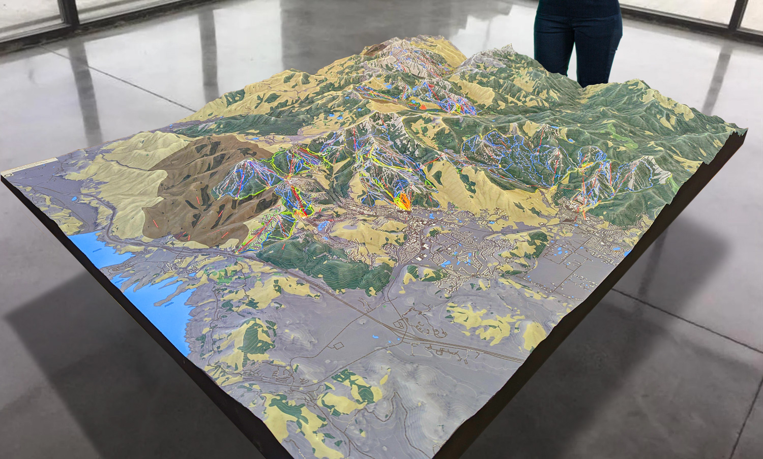
 Park City 3D Raised Relief Map
Greek Peak: A Diverse Terrain Perfect for All Skiers
Greek Peak Mountain Resort is the largest ski area in central New York, covering 220 acres of skiable terrain. The resort is known for its family-friendly atmosphere, extensive range of beginner and intermediate runs, and challenging black diamond trails that keep advanced skiers coming back for more.
With over 50 trails, Greek Peak offers something for every type of skier or snowboarder, from smooth, gentle slopes for beginners to steep, technical runs for those seeking an adrenaline rush.
Major Ski Runs at Greek Peak: A Breakdown of the Best Trails
Greek Peak’s terrain is diverse, offering a range of experiences across different difficulty levels. Here’s a closer look at some of the major ski runs that make Greek Peak a top destination for winter sports enthusiasts.
Alpha, Beta, and Gamma: A Safe Start for Beginners
Greek Peak caters well to beginner skiers, and trails like Alpha, Beta, and Gamma are the perfect introduction to skiing. Located near the base of the mountain, these green circle runs are wide and gentle, providing an excellent space for first-time skiers or those still honing their skills.
What makes these trails especially useful for beginners is their proximity to the learning area and carpet lifts, allowing for easy access and repeated practice. The consistent grooming and gentle slopes give new skiers the confidence to explore and develop their technique before progressing to more challenging terrain.
Odyssey: A Long, Scenic Journey for Intermediates
Intermediate skiers will find joy in Odyssey, one of Greek Peak’s longest and most scenic blue square runs. Stretching from the summit all the way to the base, Odyssey offers plenty of room for wide, sweeping turns. It’s the kind of run where you can relax, take in the views, and enjoy a steady descent without feeling overwhelmed by steepness or technical difficulty.
Odyssey is a great trail for skiers looking to build their confidence on slightly steeper terrain. It also provides a scenic journey through different parts of the mountain, allowing skiers to experience Greek Peak’s varied landscape.
Trojan: A Family-Friendly Favorite
For families and intermediate skiers looking for a fun yet manageable run, Trojan is a must-try. This blue square trail is known for its smooth, well-groomed surface and relatively mild incline, making it perfect for families who want to ski together without worrying about too much difficulty.
Trojan’s gentle slopes allow skiers to pick up some speed without feeling out of control, and its location near other intermediate trails makes it easy to link up with other runs for an extended session on the mountain.
Olympian and Zeus: A Challenge for Advanced Skiers
For advanced skiers seeking a challenge, Greek Peak offers black diamond trails like Olympian and Zeus, which are known for their steep pitches and technical demands. Olympian is particularly popular for its long, steep descent, which provides plenty of opportunity for speed and adrenaline.
Meanwhile, Zeus offers a narrower, more technical experience, with tighter turns and occasional moguls. Both trails are ideal for expert skiers who want to test their skills and enjoy some of the best that Greek Peak has to offer.
Hercules: Conquer the Moguls
For those who enjoy the added challenge of moguls, Hercules is the trail of choice. This black diamond run is dotted with large, well-formed moguls, providing a true test of a skier’s ability to maintain control and rhythm while navigating the bumps. Hercules is not for the faint of heart, but for those who love mogul skiing, it’s a thrilling ride that rewards skill and precision.
Labyrinth and Iliad: Greek Peak’s Glade Skiing Adventure
For a more natural, off-piste experience, Greek Peak offers glade skiing on trails like Labyrinth and Iliad. These wooded areas provide a more adventurous experience as skiers weave between trees and navigate natural obstacles. Glade skiing at Greek Peak is particularly popular after fresh snowfall, when the trees provide an added layer of challenge and excitement.
These runs are best suited for advanced skiers, as they require quick reflexes, strong technical skills, and the ability to adapt to changing conditions.
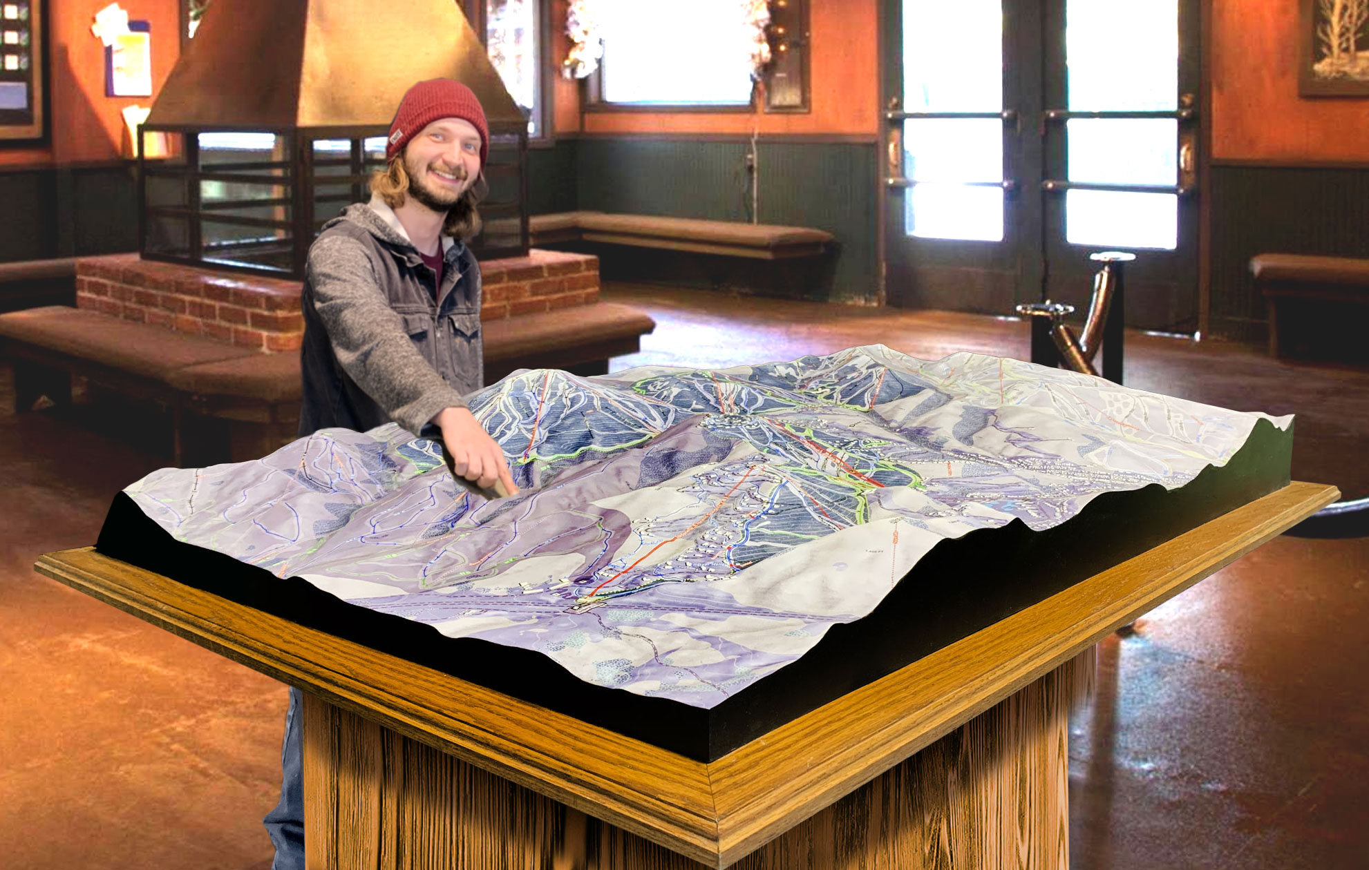
 Deer Valley 3D Raised Relief Map
The Importance of Greek Peak 3D Maps: An Essential Tool for Skiers
For visitors to Greek Peak, 3D maps are not just a novelty—they are an essential tool that enhances the skiing experience. Unlike traditional flat maps, which can be difficult to interpret in mountainous terrain, 3D maps offer a clear and accurate representation of the mountain’s topography. This makes it easier for skiers and snowboarders to plan their day, visualize the layout of the mountain, and choose trails that match their skill level.
One of the key benefits of 3D maps is that they provide a sense of scale and elevation that flat maps cannot. Skiers can see the exact steepness of a trail, how different runs connect, and where key features like lifts and lodges are located. This level of detail is particularly useful for first-time visitors to Greek Peak, helping them get oriented quickly and confidently.
For advanced skiers, 3D maps provide an opportunity to strategize, allowing them to find the most efficient routes to their favorite trails or plan out a day that maximizes their time on the mountain. Whether you’re looking to tackle black diamond runs or explore Greek Peak’s beginner-friendly terrain, having a 3D map at your disposal makes the experience smoother and more enjoyable.
A Lasting Impression: Greek Peak 3D Maps as Works of Art
While Greek Peak’s 3D maps are undeniably functional, they are also works of art that capture the beauty and complexity of the mountain. The combination of advanced technology and hand-painted artistry results in a map that is both visually stunning and highly practical. Whether displayed in a lodge or used as a reference on the mountain, Greek Peak’s 3D maps offer a unique way to engage with the resort’s terrain.
For anyone planning a trip to Greek Peak, these maps are a must-have resource. They provide an intuitive, visually appealing way to navigate the mountain, ensuring that visitors of all skill levels can make the most of their time on the slopes. Whether you’re carving down the steep pitches of Olympian or cruising along the scenic Odyssey, a 3D map adds an extra layer of excitement to your skiing adventure.
Check out WhiteClouds’ 3D Maps for more information on 3D maps of Greek Peak Ski Resort.
