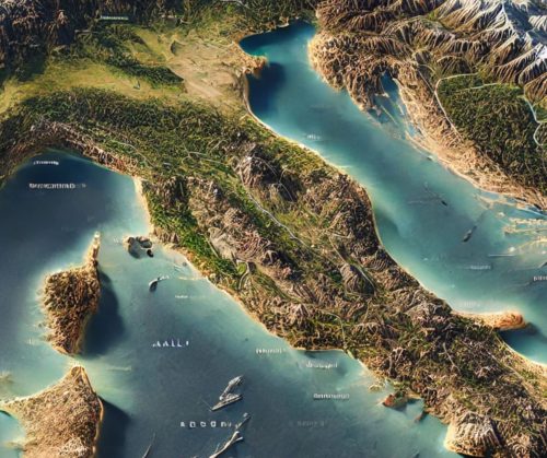
Italy Topo Map
Italy Topo Map
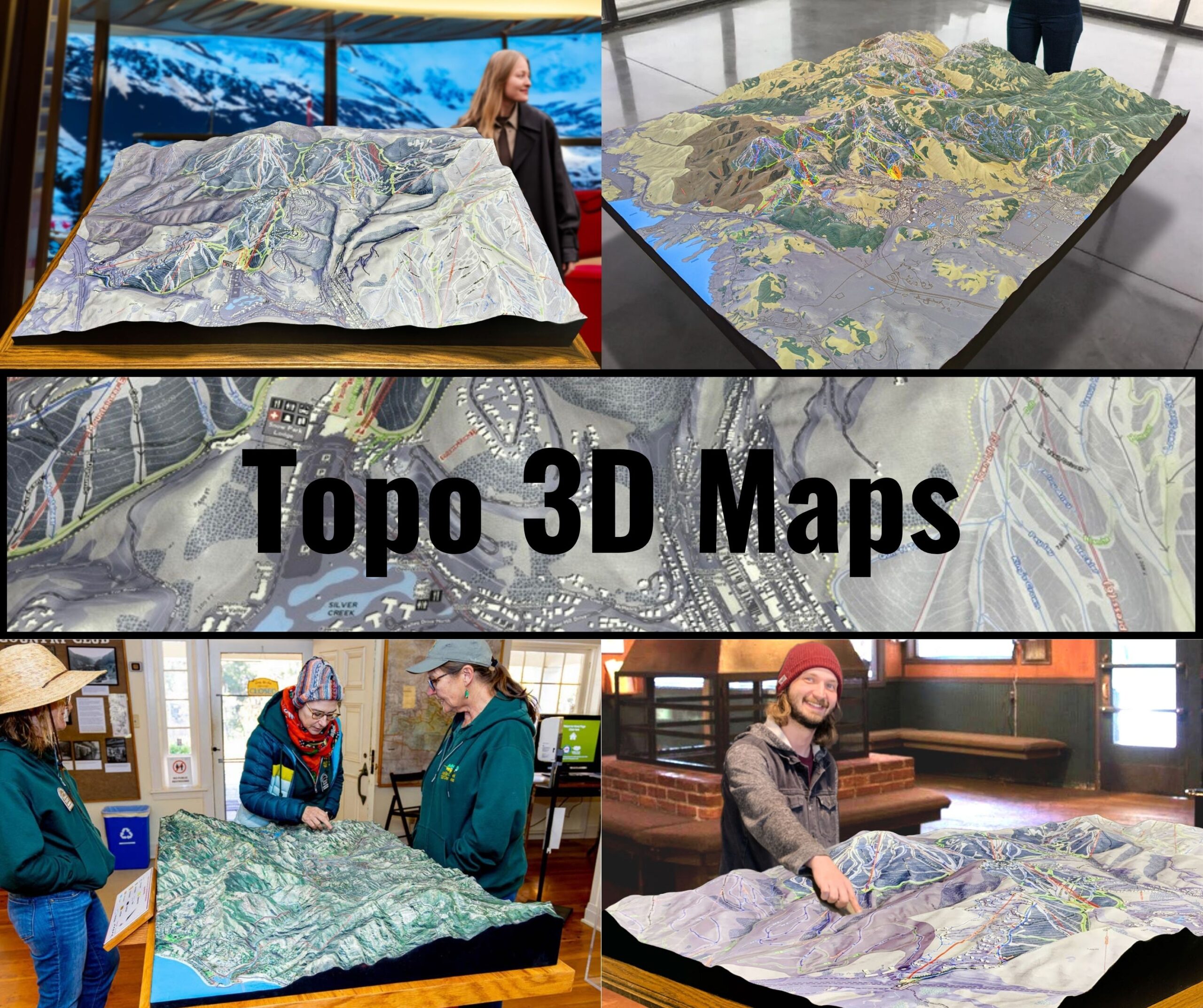
We Build Custom 3D Topo Maps
Italy Topo Maps: Exploring the Land of Timeless Beauty and Diverse Landscapes
Italy, a country steeped in history and natural beauty, offers an incredible variety of landscapes. From the soaring peaks of the Alps to the rolling hills of Tuscany, the rugged cliffs of the Amalfi Coast, and the expansive plains of the Po Valley, Italy is a geographic masterpiece. Topographic maps of Italy serve as invaluable tools for adventurers, historians, geologists, and educators, providing an intricate look at the country’s elevations, landforms, and historic landmarks.
Italy’s topographic maps, available in both 2D and 3D formats, capture the essence of its diverse terrains. These maps guide explorers through ancient cities, breathtaking mountains, and serene coastal regions, offering a deeper understanding of the country’s natural and cultural richness.
The Alps: Towering Peaks and Majestic Landscapes
The Alps in northern Italy form one of Europe’s most dramatic mountain ranges. This region, known for its snow-capped peaks, deep valleys, and picturesque villages, is a haven for mountaineers and nature enthusiasts.
In 2D topographic maps, the Alps are depicted with tightly packed contour lines that illustrate their steep slopes and high elevations. Features such as Monte Bianco (Mont Blanc), the Dolomites, and the Aosta Valley are prominently displayed.
3D topographic maps bring the Alps to life, showcasing their rugged peaks, glacial valleys, and ski trails. These maps are essential for planning alpine adventures, studying the impact of climate change on glaciers, and appreciating the region’s natural beauty.
The Apennines: Italy’s Backbone
The Apennine Mountains stretch down the spine of Italy, dividing the country into eastern and western regions. This range is characterized by rolling hills, rugged peaks, and diverse ecosystems.
In 2D topographic maps, the Apennines are represented with contour lines that highlight their varied terrain, from steep cliffs to gentle slopes. Key features such as Gran Sasso, the Sibillini Mountains, and the Abruzzo region are clearly marked.
3D topographic maps of the Apennines emphasize the elevation changes along the range, the patterns of its river systems, and the transitions between its uplands and surrounding plains. These maps are invaluable for conservation efforts, hiking enthusiasts, and geological studies.
The Po Valley: Italy’s Agricultural Heartland
The Po Valley, Italy’s largest plain, is an expanse of fertile land fed by the Po River and its tributaries. This region is vital for Italy’s agriculture and industry, producing much of the country’s rice, wheat, and corn.
In 2D topographic maps, the Po Valley is depicted with widely spaced contour lines that illustrate its flat terrain and intricate network of waterways. Features such as the Po River Delta, major cities like Milan and Turin, and surrounding foothills are prominently displayed.
3D topographic maps of the Po Valley highlight the transitions between the plains and the Alps, the depth of river channels, and the extent of agricultural fields. These maps are essential for managing water resources, studying land use, and exploring the region’s historical significance.
The Amalfi Coast and Southern Italy: Rugged Cliffs and Crystal Waters
The Amalfi Coast, a UNESCO World Heritage Site, is renowned for its dramatic cliffs, vibrant towns, and sparkling Mediterranean waters. Southern Italy, with its coastal regions and volcanic landscapes, adds to the country’s geographic allure.
In 2D topographic maps, the Amalfi Coast is represented with contour lines that detail its steep cliffs, terraced hills, and coastal bays. Features such as Positano, Ravello, and the Gulf of Naples are clearly marked.
3D topographic maps of this region emphasize the dramatic elevation changes along the coastline, the patterns of its terraces, and the proximity of Mount Vesuvius. These maps are invaluable for tourism planning, ecological research, and understanding the geological history of Italy’s volcanic regions.
Sicily and Sardinia: Islands of Contrasts
Sicily and Sardinia, Italy’s largest islands, offer a mix of rugged mountains, rolling plains, and pristine coastlines. These islands are steeped in history and natural beauty, each with its own unique charm.
In 2D topographic maps, Sicily and Sardinia are depicted with contour lines that illustrate their varied terrains, from Mount Etna’s volcanic slopes to Sardinia’s granite peaks. Key features such as the Strait of Messina, the Gennargentu Mountains, and historic towns are prominently displayed.
3D topographic maps of Sicily and Sardinia bring their landscapes to life, showcasing the depth of their valleys, the height of their peaks, and the intricacy of their coastlines. These maps are essential for exploring the islands’ natural wonders and cultural treasures.
Tuscany and Central Italy: Rolling Hills and Renaissance Landscapes
Tuscany, with its iconic rolling hills, vineyards, and medieval towns, is one of Italy’s most picturesque regions. Central Italy, including Umbria and Lazio, offers a similar blend of natural beauty and historical significance.
In 2D topographic maps, Tuscany is represented with gently curving contour lines that highlight its undulating terrain and river valleys. Features such as Florence, the Chianti wine region, and the Val d’Orcia are clearly marked.
3D topographic maps of Tuscany emphasize its rolling landscapes, the depth of its valleys, and the patterns of its vineyards. These maps are perfect for planning scenic drives, studying the region’s agricultural practices, and appreciating its artistic heritage.
How Italy Topo Maps Are Fabricated: Precision and Craftsmanship in Mapping
Creating topographic maps of Italy is a meticulous process that combines advanced technology, detailed data collection, and skilled artistry. From the towering Alps to the serene Amalfi Coast, Italy’s diverse terrain demands accurate and comprehensive mapping.
The 2D Mapping Process
The creation of 2D topographic maps begins with data collection using satellite imagery, aerial surveys, and LiDAR (Light Detection and Ranging). This data is processed using Geographic Information Systems (GIS) software to generate contour lines that represent changes in elevation. In Italy, particular attention is paid to capturing the steep slopes of the Dolomites, the rolling hills of Tuscany, and the intricate waterways of the Po Valley. Additional features such as roads, trails, and landmarks are added to enhance usability.
The 3D Mapping Process
3D topographic maps are crafted by converting elevation data into three-dimensional models. Advanced software translates this data into digital 3D representations, which can then be displayed interactively or produced as physical models using 3D printing technology. For Italy, features like the height of Monte Bianco, the depth of Venice’s lagoon, and the terraces of Cinque Terre are meticulously rendered.
Once printed, 3D maps are often painted and finished to emphasize key features such as elevation changes, vegetation zones, and water bodies. These maps are visually stunning and provide a tactile way to explore Italy’s landscapes, making them invaluable for educators, researchers, and travelers.
Italy Topo Maps for Conservation, Recreation, and Education
Topographic maps play a vital role in conserving Italy’s natural resources, supporting outdoor recreation, and educating people about the country’s geography. With its diverse ecosystems and iconic landmarks, Italy requires careful management to preserve its environment and heritage.
Conservation Applications
Conservationists use topographic maps to monitor changes in Italy’s landscapes, plan restoration projects, and protect critical habitats. For example, in the Dolomites, these maps guide efforts to preserve alpine ecosystems and manage tourism sustainably. Along the Po River, they are essential for flood management and wetland restoration.
Recreational Uses
For adventurers, topographic maps are indispensable tools for exploring Italy’s trails, waterways, and historic landmarks. Hikers rely on these maps to navigate the Cinque Terre or the Apuan Alps, while cyclists use them to plan routes through Tuscany’s rolling hills. These maps also support activities like mountaineering, kayaking, and cultural tourism.
Educational Value
Educators and students use topographic maps to study Italy’s geography, geology, and ecosystems. These maps provide a hands-on way to learn about the country’s diverse landscapes, fostering a deeper understanding of its natural and cultural heritage.
Conclusion: Italy’s Landscapes Through the Lens of Topographic Maps
Italy’s topographic maps reveal the country’s breathtaking diversity in stunning detail. From the towering Alps to the rolling hills of Tuscany, the dramatic Amalfi Coast, and the historic plains of the Po Valley, these maps capture the beauty and complexity of Italy’s landscapes.
Whether you’re an adventurer exploring Italy’s natural wonders, a scientist studying its ecosystems, or an educator teaching about its geography, topographic maps provide an invaluable tool for understanding and appreciating this remarkable country. With both 2D and 3D options available, these maps ensure that future generations can continue to explore, protect, and celebrate the landscapes that make Italy so extraordinary.
Check out WhiteClouds’ 3D Maps for more information on Italy topo maps.

