Kissing Bridge 3D Maps
Kissing Bridge 3D Maps
We Build Custom 3D Kissing Bridge Maps
Kissing Bridge 3D Maps: Exploring Western New York’s Scenic Terrain in Stunning Detail
Kissing Bridge, a winter sports destination nestled in the picturesque hills of Western New York, is a favorite among locals and visitors alike. With over 700 acres of skiable terrain, this family-friendly resort offers a wide variety of trails catering to all skill levels, from beginners to expert skiers. What makes Kissing Bridge stand out is the attention to detail in how the resort is presented, and nothing exemplifies this more than the intricate 3D maps used to navigate its expansive landscape.
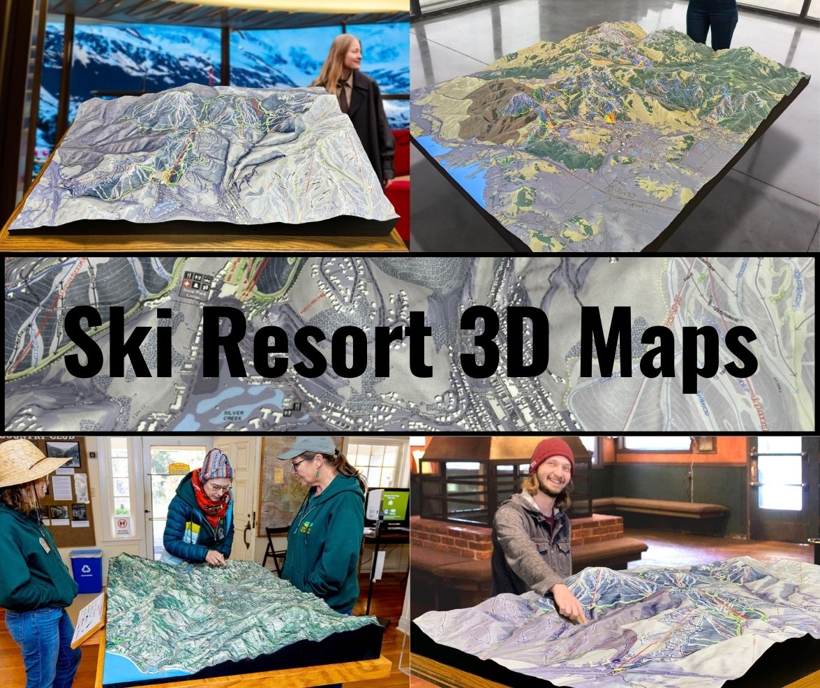
Kissing Bridge 3D maps are more than just a tool for getting around the mountain—they are works of art that blend technology with craftsmanship, bringing the mountain’s topography to life in vibrant detail. These maps provide a bird’s-eye view of the resort’s varied terrain, allowing skiers and snowboarders to plan their runs, identify key features, and better understand the mountain’s layout. In this blog, we will dive into how Kissing Bridge 3D maps are fabricated and explore the major ski runs that define this iconic resort.

Crafting Kissing Bridge 3D Maps: Precision and Artistic Excellence
The process of creating a 3D map of a mountain as expansive as Kissing Bridge requires a perfect balance of technology, creativity, and craftsmanship. These maps are meticulously designed to provide an accurate, detailed view of the terrain, showcasing everything from the gentle slopes of beginner trails to the challenging steepness of advanced runs. Here’s how Kissing Bridge 3D maps are made.
Collecting Topographical Data: Laying the Groundwork
The first step in crafting a 3D map is collecting topographical data. This is done using cutting-edge technology such as LiDAR (Light Detection and Ranging) and GPS mapping, which provide precise measurements of the mountain’s landscape. LiDAR is a remote sensing method that uses laser pulses to measure the distance between a sensor and the surface of the mountain, capturing every slope, ridge, and elevation change in high detail. GPS mapping further refines this data by accurately plotting the location of trails, ski lifts, and other key resort features.
Once the data has been collected, it is processed using advanced 3D modeling software, which converts the raw information into a detailed digital model of the terrain. This model serves as the blueprint for the physical 3D map. The accuracy of this data ensures that every elevation shift, slope angle, and trail layout is faithfully represented, allowing the final product to mirror the actual landscape of Kissing Bridge.
3D Printing the Terrain: Building the Mountain in Layers
With the digital model in hand, the next step is to create a physical version of the map using 3D printing technology. 3D printing is a process in which an object is built layer by layer, with each layer representing a different elevation of the terrain. For Kissing Bridge’s 3D maps, durable materials like PLA (polylactic acid) are often used for printing, as they are both strong and biodegradable.
The 3D printer works methodically, depositing layer upon layer of material to create a scaled replica of the mountain. This process can take several hours to days, depending on the size and complexity of the map. Each elevation change, from the lowest valleys to the highest peaks, is captured with incredible precision. This method ensures that the final map is an accurate representation of the terrain, offering a tactile, immersive view of Kissing Bridge’s slopes.
The benefit of 3D printing for map creation is that it allows for a level of detail that traditional flat maps simply can’t provide. Skiers and snowboarders can see the mountain’s contours, visualize the layout of the trails, and get a sense of the elevation changes before they hit the slopes. This helps them better plan their routes and gives them a clearer understanding of the mountain’s topography.
Hand-Painting: Bringing the Map to Life with Color and Detail
Once the 3D model is printed, the final step is hand-painting the map to bring it to life. This is where the artistry of the process truly shines. Skilled painters carefully apply color and texture to the map, using a combination of airbrushing and fine brushwork to capture the natural beauty of Kissing Bridge.
Trails are color-coded to indicate their difficulty level—green for beginner, blue for intermediate, and black for advanced. These color distinctions make it easy for visitors to navigate the mountain and choose trails that suit their skill level. Natural features, such as forests, rivers, and rock formations, are painted in realistic tones, while ski lifts, lodges, and snowmaking equipment are carefully depicted to add context to the map.
The attention to detail in the hand-painting process ensures that the map is not only functional but also aesthetically pleasing. The finished product is a stunning representation of Kissing Bridge’s landscape, offering visitors a three-dimensional view of the resort’s terrain that is both practical and beautiful.
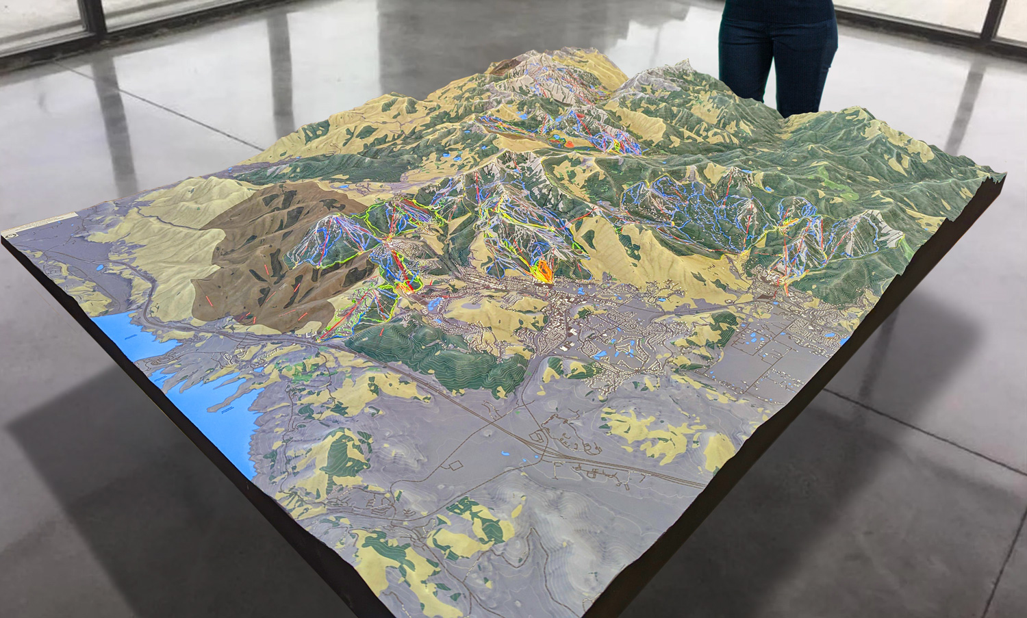
 Park City 3D Raised Relief Map
Kissing Bridge: A Resort for Every Skier
Kissing Bridge is renowned for its diverse terrain, which caters to skiers and snowboarders of all skill levels. The resort is divided into three distinct areas—North, Central, and South—each offering a unique mix of trails. Whether you’re a beginner looking to build confidence on gentle slopes or an expert seeking the thrill of steep, challenging runs, Kissing Bridge has something for everyone.
With over 36 trails, the resort’s terrain offers a perfect balance of beginner, intermediate, and advanced runs. Kissing Bridge’s snowmaking capabilities ensure that the trails are consistently covered throughout the season, and the resort’s relaxed, friendly atmosphere makes it a great destination for families and groups.
Major Ski Runs at Kissing Bridge: Navigating the Terrain
Kissing Bridge’s variety of ski runs ensures that there is something for every type of skier, from easygoing beginner slopes to adrenaline-pumping black diamonds. Below is a breakdown of some of the major trails that define Kissing Bridge’s ski experience.
Holly: A Perfect Run for Beginners
For those just starting out, Holly is the ideal trail. This green circle run is located in the North area and offers a gentle, wide slope that is perfect for practicing basic skiing or snowboarding techniques. Holly is well-groomed and offers plenty of space, making it a favorite for families, ski schools, and anyone looking to build confidence on the snow.
The trail’s location near the base area means that skiers can easily access it without having to navigate steeper terrain. Holly is a great place for first-timers to get a feel for skiing or snowboarding while enjoying the peaceful beauty of the surrounding area.
Twister: A Fun Ride for Intermediate Skiers
For skiers ready to progress beyond beginner slopes, Twister is a fantastic blue square run located in the Central area. This intermediate trail offers a smooth ride with just enough twists and turns to keep things exciting. Twister’s wide, groomed surface makes it perfect for carving turns and building up speed, while its moderate incline provides a bit of a challenge without being overwhelming.
Twister is one of the most popular intermediate runs at Kissing Bridge, offering a great mix of fun and excitement for skiers looking to improve their skills. The trail’s scenic surroundings make it a pleasure to ride, whether you’re cruising at a steady pace or pushing yourself to go faster.
Devil’s Hole: An Advanced Black Diamond for Thrill-Seekers
For those seeking a more intense skiing experience, Devil’s Hole is one of Kissing Bridge’s standout black diamond trails. This advanced run is located in the Central area and is known for its steep pitch and technical terrain. Devil’s Hole offers a fast, thrilling ride that challenges even the most experienced skiers.
The trail’s narrow, steep sections require precision and control, making it a favorite for expert skiers looking to push their limits. Devil’s Hole is not for the faint of heart, but for those who can handle it, the trail offers an exhilarating ride that will leave you wanting more.
Apache: A Challenging Advanced Run in the South Area
Another excellent choice for advanced skiers is Apache, a black diamond run located in the South area. Apache features a combination of steep slopes and technical turns, providing a challenging and rewarding ride for experienced skiers. The trail’s layout requires quick reflexes and expert technique, making it a great test for those looking to tackle some of the most difficult terrain at Kissing Bridge.
Apache’s remote location in the South area often means that the trail is less crowded, offering a more secluded skiing experience. This adds to the sense of adventure, as skiers can enjoy the thrill of challenging terrain in a quieter, more peaceful part of the resort.
Glades: A Tree-Skiing Adventure
For those who love off-piste skiing, the Glades at Kissing Bridge provide an exciting opportunity for tree skiing. Located in the North area, the Glades offer a more natural skiing environment, where skiers can navigate through trees, rocks, and untracked snow. This trail is best suited for intermediate and advanced skiers who are comfortable skiing through more rugged terrain.
Tree skiing provides a different type of thrill compared to groomed runs, offering a sense of exploration and freedom. The Glades at Kissing Bridge are perfect for skiers looking to test their skills in a more natural, untouched setting.
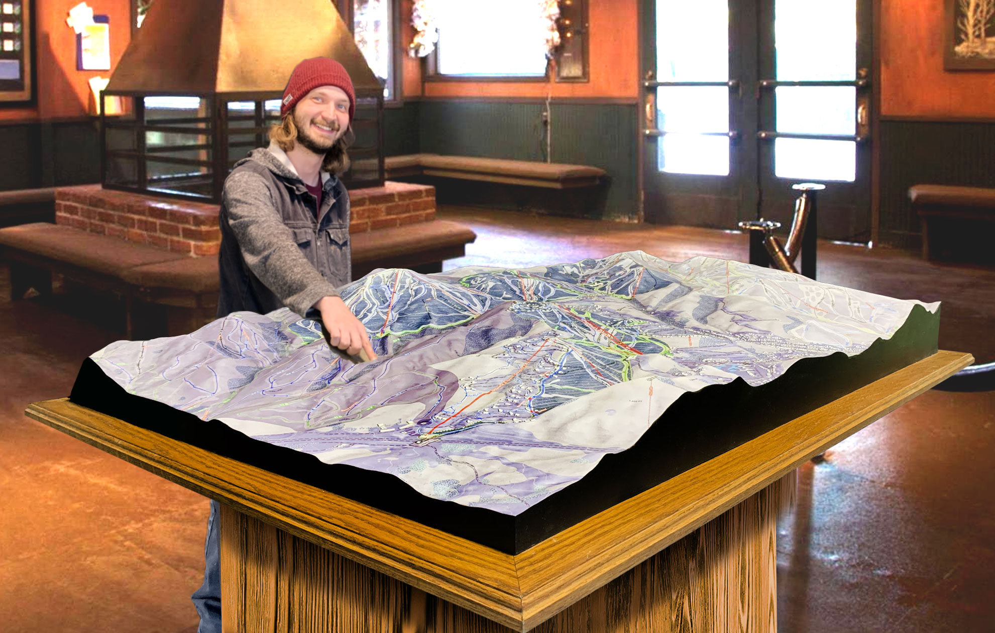
 Deer Valley 3D Raised Relief Map
The Value of Kissing Bridge 3D Maps for Skiers and Snowboarders
Kissing Bridge’s 3D maps are more than just a beautiful representation of the mountain—they are essential tools for navigating the resort’s vast terrain. These maps provide a clear, detailed view of the mountain’s topography, helping skiers and snowboarders plan their day on the slopes with confidence.
For beginners and families, the color-coded trails make it easy to find suitable runs, while advanced skiers can use the maps to identify more challenging terrain. The 3D maps give visitors a better sense of the mountain’s layout, allowing them to visualize elevation changes, trail intersections, and the location of key features such as ski lifts and lodges.
By offering a three-dimensional view of the terrain, Kissing Bridge’s 3D maps help skiers and snowboarders make the most of their time on the mountain. Whether you’re exploring the gentle slopes of Holly or pushing yourself on the steep descents of Devil’s Hole, these maps provide an invaluable guide to the resort’s diverse terrain.
A Blend of Technology, Craftsmanship, and Adventure
Kissing Bridge’s 3D maps are the perfect fusion of modern technology and artistic craftsmanship, offering a unique and immersive way to explore the resort’s terrain. From the precise data collection to the final hand-painted details, every step of the fabrication process is designed to provide skiers and snowboarders with an accurate, visually stunning map that enhances their experience on the mountain.
Whether you’re a first-time visitor or a seasoned regular, Kissing Bridge’s 3D maps allow you to connect with the mountain in a new and exciting way. They are more than just navigational tools—they are windows into the heart of Kissing Bridge, capturing the beauty and adventure of one of Western New York’s premier ski destinations.
Check out WhiteClouds’ 3D Maps for more information on 3D maps of Kissing Bridge Ski Resort.
