Mount Aggie Ski Slope 3D Maps
Mount Aggie Ski Slope 3D Maps
We Build Custom 3D Mount Aggie Ski Slope Maps
Mount Aggie Ski Slope 3D Maps: A Closer Look at Texas A&M’s Unique Learning Slope
Nestled within Texas A&M University, Mount Aggie is one of the most unique skiing spots in Texas. Primarily a learning and training slope, this small but significant site allows students and locals to practice skiing and snowboarding without leaving the state. Mount Aggie serves as a training ground for beginners, providing a safe, controlled environment to master essential skills before hitting larger mountains. With the addition of 3D maps, Mount Aggie has gained a new dimension of accessibility, allowing skiers to explore and understand the slope in unprecedented detail. These maps, while compact, are just as meticulously crafted as those of larger ski areas, capturing the unique layout of this cherished training site. In this blog, we’ll explore how Mount Aggie 3D Maps are fabricated and examine the features that make this Texas ski slope a special destination.
How Mount Aggie Ski Slope 3D Maps Are Fabricated: Precision in Miniature
Though Mount Aggie may be smaller than typical ski resorts, the fabrication of its 3D maps involves an intricate process that combines high-tech mapping and skilled artistry. This process creates a detailed and accurate model of Mount Aggie’s slope, giving visitors and students a new perspective on this iconic training ground.
The creation process begins with data collection, essential for accurately capturing the slope’s contours and layout. Cartographers use LiDAR (Light Detection and Ranging) technology and drone photogrammetry to gather precise topographical data. LiDAR emits laser pulses that measure distances to create a digital elevation model, providing an accurate portrayal of the slope’s incline, dimensions, and surrounding areas. Meanwhile, drones equipped with high-resolution cameras capture images from various angles, building a complete visual map of Mount Aggie’s unique setup.
Once the data has been collected, designers use specialized 3D modeling software to create a digital representation of Mount Aggie. Every angle and contour is mapped to mirror the slope’s real-life dimensions, allowing for accuracy even on this small scale. The designers also work closely with Mount Aggie’s team to ensure that key elements like the slope surface, snow features, and training markers are accurately represented, preserving the essence of this unique site.
After the digital model is finalized, it’s prepared for 3D printing. Large-format 3D printers use eco-friendly materials, such as PLA plastic, to build the model layer by layer. Despite Mount Aggie’s smaller dimensions, this process requires precision, as every angle and elevation change must be captured to reflect the slope’s real-life feel. Artisans then refine the surface by hand, smoothing out details and adding texture for a realistic look.
The final step is painting and detailing. Artists use airbrushing and hand-painting techniques to add colors that represent the actual appearance of Mount Aggie. The slope is painted in whites and light grays to emulate the snow-covered surface, while surrounding areas are shaded in natural greens and browns. Highlights and shadows are added to emphasize the slope’s contours, creating a three-dimensional effect. Important features, such as training cones, snow-covered areas, and safety markers, are highlighted for clear navigation, and a protective coating is applied to ensure durability, preserving the map’s colors and details over time.
The result is a beautifully crafted 3D map that not only serves as a navigational tool for beginners but also as a representation of Mount Aggie’s unique purpose within Texas A&M’s training programs. These maps allow visitors, students, and aspiring skiers to explore the slope in fine detail, enhancing their training experience while showcasing the special nature of Mount Aggie.
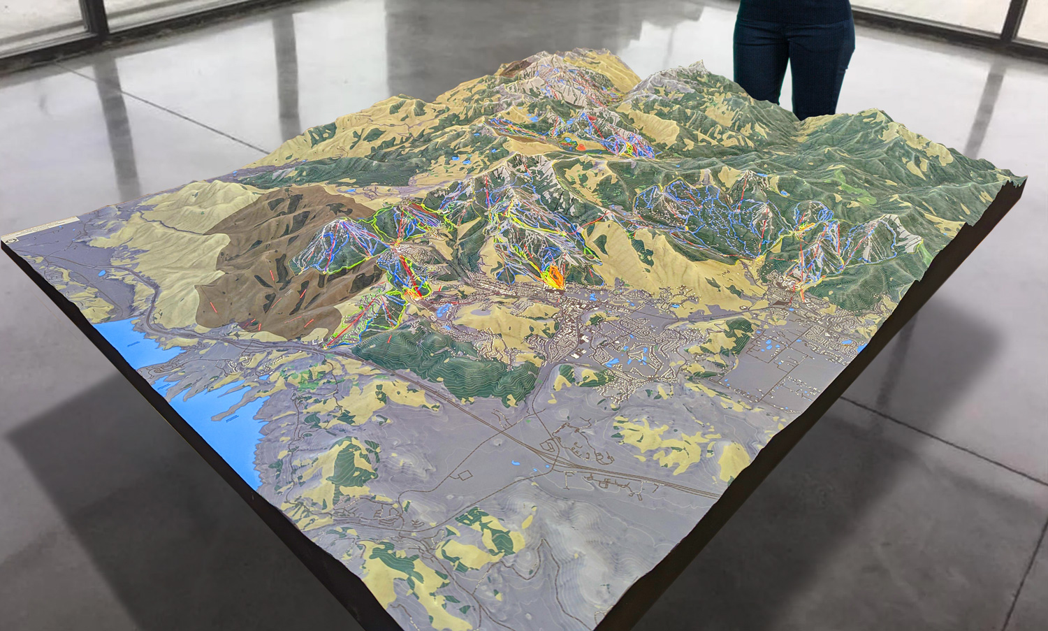
 Park City 3D Raised Relief Map
The Major Features of Mount Aggie Ski Slope: A Perfect Training Ground for Beginners
Mount Aggie is not a traditional ski resort with a variety of trails; rather, it is a designated slope for training and learning. Its focus on skill-building makes it unique among ski slopes, and while compact, it offers features that make it a fantastic training ground. Here’s a look at what makes Mount Aggie a valuable resource for new skiers and snowboarders.
The Beginner Slope: A Smooth, Controlled Environment for Learning
The heart of Mount Aggie is its beginner slope, which serves as the primary training area for students and locals alike. This slope is designed with a gentle incline, allowing beginners to comfortably practice their turns, stops, and balance. The consistent gradient makes it easy for new skiers to focus on mastering basic skills without the intimidation of steeper terrain. For many, Mount Aggie is a vital first step toward developing the confidence needed to tackle larger slopes.
The surface of the slope is carefully maintained to create a smooth and reliable training ground. Mount Aggie uses artificial snow during cooler months, allowing for a realistic skiing experience without requiring natural snowfall. This controlled environment ensures that beginners can practice under consistent conditions, providing a safer and more predictable setting to develop their skills.
Training Markers and Course Setup: Tools for Skill Development
To enhance the learning experience, Mount Aggie incorporates a variety of training markers, cones, and flags throughout the slope. These markers are strategically placed to guide skiers and help them practice essential skills, such as turning, stopping, and navigating around obstacles. This setup allows students to engage in drills that are typically part of larger ski school programs, reinforcing techniques that will be valuable when they move on to more challenging terrain.
The 3D maps highlight these training features, allowing newcomers to familiarize themselves with the layout before stepping onto the slope. By showing the locations of training markers and boundaries, the maps serve as a helpful orientation tool, particularly for students who are new to skiing.
Artificial Snow and Surface Maintenance: Simulating Real Conditions
Since Mount Aggie is located in Texas, natural snowfall is rare. The slope relies on artificial snowmaking technology to create a realistic skiing environment. The resort uses a specialized snow-making surface that can be treated with synthetic snow, providing a surface that mimics the texture of natural snow. This setup allows students to experience the feel of snow underfoot, helping them adapt to different skiing conditions.
The artificial snow and surface maintenance ensure that Mount Aggie’s slope remains in optimal condition throughout the training season. This consistency allows skiers to practice without the worry of variable surface quality, making it easier for beginners to focus on their technique and balance.
Community Access and Campus Involvement: A Resource for All
Mount Aggie serves as a community resource and is a popular spot not only for Texas A&M students but also for locals who want to learn to ski. The slope is open to the public during training hours, providing an accessible and affordable option for those who want to experience skiing close to home. Mount Aggie is also integrated into Texas A&M’s campus life, with students often using the slope for club activities, training events, and recreational purposes.
The slope’s community-focused nature makes it a unique space where people of all ages and backgrounds can come together to enjoy winter sports. The 3D maps reflect this inclusive environment, showcasing Mount Aggie’s layout in a way that emphasizes its role as both a learning slope and a community gathering place.
Indoor Training and Simulator Resources: A Year-Round Skiing Experience
To complement the outdoor slope, Texas A&M also offers indoor training resources that allow students to practice skiing techniques year-round. This includes ski simulators and virtual reality technology that replicate skiing movements, allowing students to build skills before stepping onto the actual slope. These indoor resources are invaluable for those who want to develop muscle memory, balance, and coordination in a controlled setting.
The 3D maps also incorporate information about these indoor facilities, giving newcomers a full overview of the training resources available. By highlighting both the outdoor slope and indoor facilities, the maps provide a comprehensive look at Mount Aggie’s training opportunities, helping students maximize their learning experience.
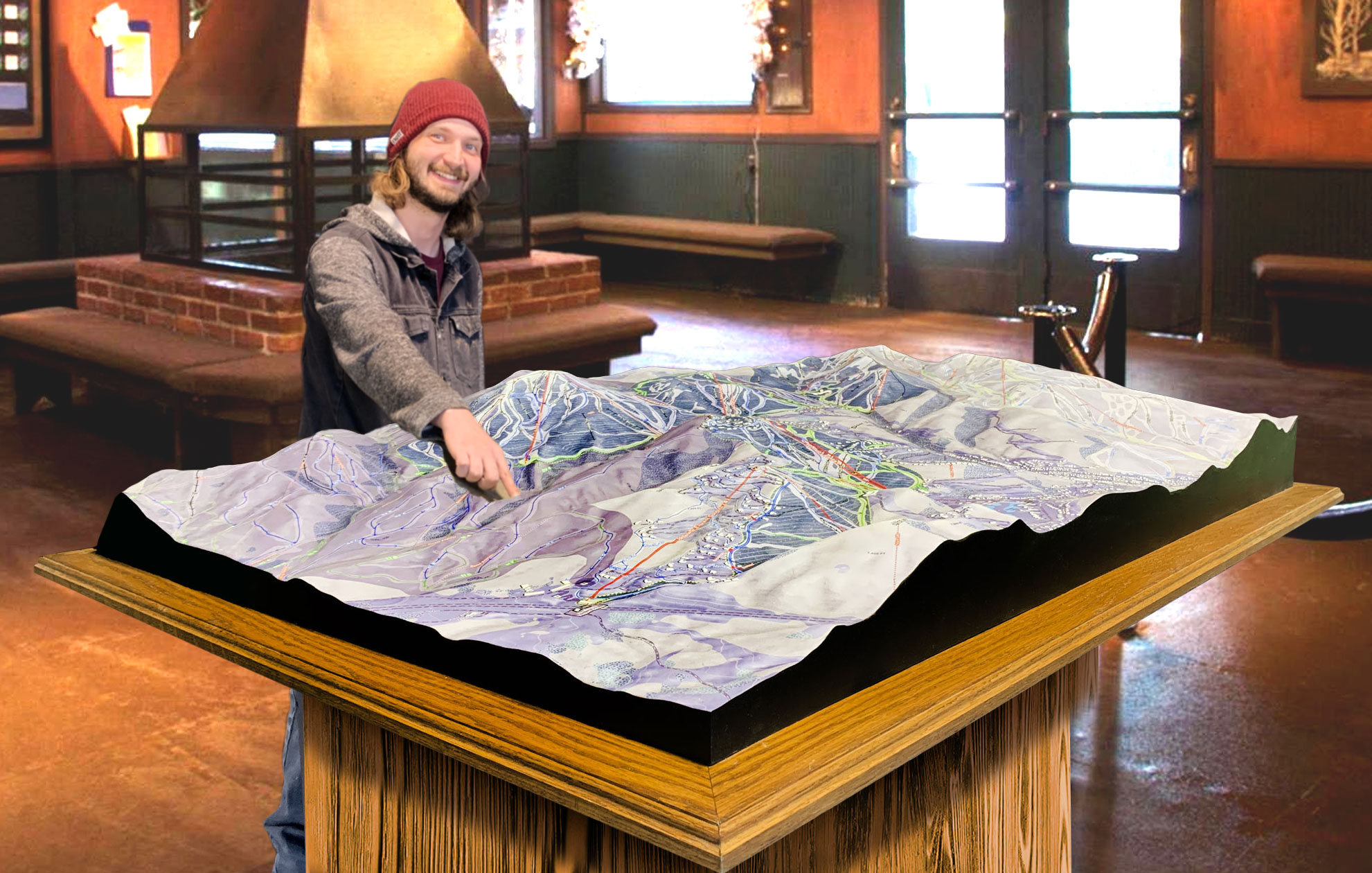
 Deer Valley 3D Raised Relief Map
Mount Aggie: A Unique Training Destination with Community Spirit
Mount Aggie Ski Slope is more than just a training hill; it’s a place where students, locals, and newcomers to winter sports can come together to learn, grow, and experience skiing in a supportive environment. The 3D maps capture the layout of this compact but important site, allowing visitors to explore Mount Aggie’s features in vivid detail. From the beginner slope and training markers to the artificial snow surface and community involvement, Mount Aggie embodies the spirit of Texas A&M—a commitment to accessibility, education, and community engagement.
Whether you’re trying skiing for the first time, preparing for a trip to larger mountains, or simply enjoying a winter activity close to home, Mount Aggie offers an experience that is both unique and invaluable. The resort’s dedication to providing a quality training environment, combined with the addition of detailed 3D maps, ensures that newcomers can learn with confidence and ease. As part of Texas A&M’s commitment to accessible learning and outdoor activities, Mount Aggie Ski Slope continues to be a cherished resource for the community, proving that skiing can be enjoyed anywhere—even in the heart of Texas.
Check out WhiteClouds’ 3D Maps for more information on 3D maps of Mount Aggie Ski Slope.

