Pico Mountain 3D Maps
Pico Mountain 3D Maps
We Build Custom 3D Pico Mountain Maps
Pico Mountain 3D Maps: A Comprehensive Guide to Vermont’s Hidden Gem
Pico Mountain, nestled in the heart of Vermont’s Green Mountains, is a skier’s paradise that offers everything from gentle beginner slopes to steep black diamonds and scenic glades. With its quaint, old-school vibe and expansive terrain, Pico Mountain provides a more intimate skiing experience compared to its nearby sister resort, Killington. Whether you’re a seasoned skier or a first-timer, navigating Pico Mountain’s vast terrain can be challenging, especially for newcomers. That’s where Pico Mountain 3D maps come in. These maps offer a detailed and immersive way to explore the mountain, allowing visitors to understand the resort’s trails, glades, and lift systems at a glance.
In this blog, we’ll explore the intricate process behind the fabrication of Pico Mountain 3D maps, detailing the advanced technology and craftsmanship that goes into their creation. We’ll also take a closer look at some of the major ski runs at Pico Mountain, providing insights on how these 3D maps can enhance your skiing experience.

The Fabrication of Pico Mountain 3D Maps: Precision and Artistry
Creating a 3D map of a ski resort like Pico Mountain is a complex process that requires both cutting-edge technology and a keen artistic eye. The goal is to provide an accurate and detailed representation of the mountain’s terrain that’s not only functional but also visually stunning. Pico Mountain 3D maps are meticulously crafted using advanced tools like LiDAR and GPS, which help capture the intricate topography of the mountain.
The first step in fabricating a 3D map is gathering topographical data, which is done using LiDAR (Light Detection and Ranging) technology. LiDAR is a remote sensing method that sends out laser pulses from an airborne platform, typically a drone or airplane. These laser pulses bounce off the terrain and return to the sensor, allowing for highly accurate measurements of the mountain’s surface. LiDAR captures every ridge, valley, and slope, ensuring that even the most subtle elevation changes are accounted for. This level of precision is critical when modeling complex ski terrain like that of Pico Mountain.
Once the LiDAR data is collected, it’s supplemented with GPS mapping to ensure that key features of the resort—like ski trails, lifts, and buildings—are positioned correctly on the map. GPS data provides pinpoint accuracy when mapping out the location of trails, lift lines, and other important landmarks, ensuring that skiers and snowboarders can rely on the map to navigate the mountain.
After the topographical and GPS data is collected, the information is processed using computer-aided design (CAD) software. This digital 3D model serves as the foundation for the physical map. In the CAD environment, designers manipulate the digital terrain, adjusting the scale and adding features such as trails, lifts, and tree lines to create a fully interactive model. The software allows designers to fine-tune the map, ensuring that it faithfully represents Pico Mountain’s terrain down to the smallest detail.
The next stage is the physical fabrication of the map, which can be done using two primary methods: CNC (Computer Numerical Control) machining or 3D printing. CNC machining involves using the digital model as a guide to carve the mountain’s contours into materials like foam or resin. This process allows for an incredibly precise replication of the mountain’s topography. Alternatively, 3D printing can be used to create the map layer by layer, resulting in a highly detailed physical model of the mountain.
Once the base of the 3D map is complete, the artistic phase begins. Skilled artisans hand-paint the map, using natural colors to bring the mountain to life. Snow-covered trails are rendered in shades of white, while the forested areas surrounding the slopes are painted in rich greens and browns. Elevation changes are indicated through shading, with lighter tones used for the higher elevations and darker colors for the lower areas. This attention to detail ensures that the map not only serves as a functional tool but also captures the natural beauty of Pico Mountain.
The final step in the fabrication process is adding key features like ski trails, lift lines, and important landmarks. Each trail is color-coded according to its difficulty level—green for beginners, blue for intermediates, black for advanced, and double black for expert-only terrain. Lift lines are clearly marked, showing how skiers can navigate between different sections of the mountain. Once complete, the 3D map is both a practical navigational tool and a piece of art that perfectly represents Pico Mountain.
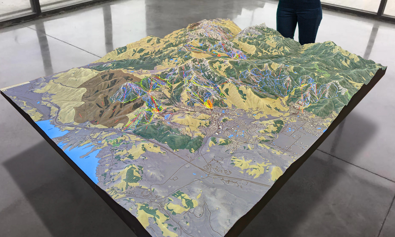
 Park City 3D Raised Relief Map
Enhancing the Skiing Experience: How Pico Mountain 3D Maps Help You Navigate
Pico Mountain may be smaller than some of its neighboring resorts, but its terrain is diverse and offers a fantastic skiing experience for every skill level. With 57 trails and glades spanning 468 acres, it’s essential to have a good understanding of the mountain’s layout. Pico Mountain 3D maps provide a comprehensive and easy-to-understand visual guide to the resort’s terrain, helping skiers and snowboarders make the most of their day on the slopes.
One of the standout features of Pico Mountain 3D maps is their ability to convey changes in elevation. Pico Mountain has a vertical drop of 1,967 feet, and the map allows skiers to see at a glance where the steepest sections are located and how the terrain flows from the summit to the base. This is especially valuable for beginners and intermediates who want to avoid more challenging terrain, as well as for advanced skiers looking to seek out the resort’s most thrilling runs.
Pico Mountain’s terrain is divided into several distinct areas, each offering a unique skiing experience:
The Summit Area: This part of the mountain is known for its long, scenic intermediate trails and stunning views of the surrounding Green Mountains. Trails like Forty Niner and Pike offer sweeping descents from the summit, providing skiers with a true sense of Pico’s beauty. The 3D map highlights these trails and shows how they connect to other sections of the mountain, making it easy for skiers to plan their routes.
Little Pico: For advanced skiers, Little Pico offers some of the mountain’s most challenging terrain. Steep black diamond runs like Giant Killer and Upper KA provide heart-pounding descents that are perfect for expert skiers. The 3D map clearly marks these trails, showing their steepness and difficulty, allowing expert skiers to prepare for these demanding runs.
Golden Express Quad Area: The terrain served by the Golden Express Quad lift is ideal for intermediate skiers, with a variety of blue square trails that offer a mix of groomed cruisers and more challenging runs. Trails like Lower Pike and Aspen are popular choices for intermediates, providing long, flowing descents with stunning views. The 3D map highlights the terrain in this area, making it easy for skiers to navigate the mountain and find the trails that best match their skill level.
A-Slope and B-Slope: For beginners, A-Slope and B-Slope offer wide, gentle runs that are perfect for learning the basics of skiing. These green circle trails are ideal for families and first-time skiers, providing a safe and enjoyable environment for practicing turns. The 3D map shows how these beginner areas connect to the rest of the mountain, making it easy for newcomers to explore Pico’s more accessible terrain.
The 3D map also highlights Pico’s glade skiing areas, providing valuable information for those who love tree skiing. Giant Killer Glade and Birch Glade are two of the most popular glades at Pico, offering tree-lined runs that challenge even the most experienced skiers. The 3D map shows how these glades are integrated into the trail network, helping tree skiers plan their routes through the trees and back onto the main trails.
In addition to its detailed depiction of the trails, the 3D map also provides a clear overview of Pico’s lift system. The resort is serviced by five chairlifts, including the Golden Express Quad and Summit Express Quad, which provide access to the upper mountain and the summit. The 3D map shows the location of each lift and how they connect different sections of the mountain, making it easier for skiers to navigate between the summit, the base, and the glades.
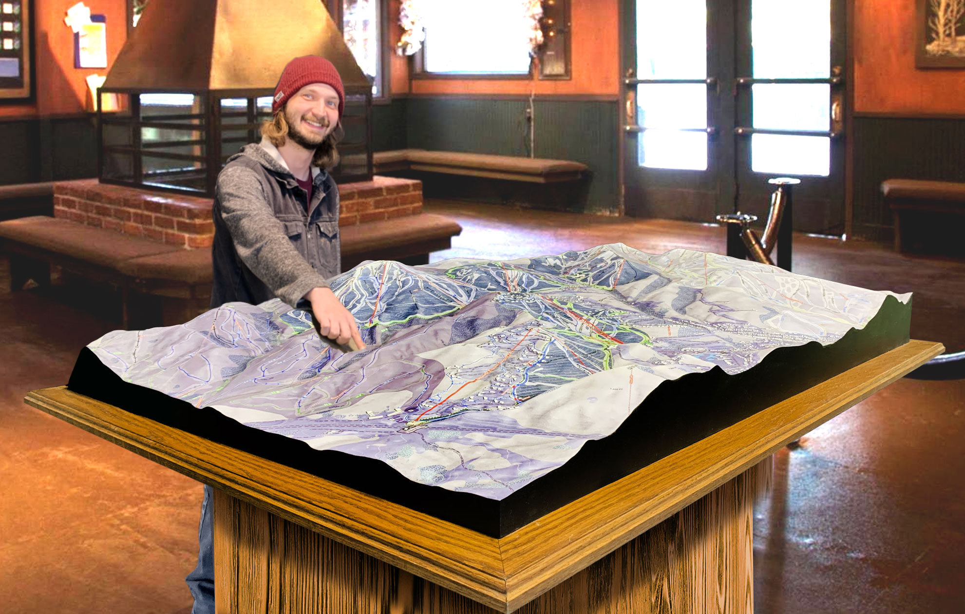
 Deer Valley 3D Raised Relief Map
Major Ski Runs at Pico Mountain: A Closer Look
Pico Mountain offers a wide variety of ski runs that cater to all skill levels, from beginner-friendly slopes to steep, expert-only terrain. The 3D map provides a detailed overview of Pico’s most iconic trails, helping skiers decide which runs to tackle based on their abilities and preferences.
For beginners, B-Slope is one of the most popular green circle trails. This wide, gentle slope is perfect for learning the basics of skiing or snowboarding, offering plenty of space to practice turns and build confidence. The 3D map shows how B-Slope connects with other beginner trails, making it easy for new skiers to find their way around the mountain.
Intermediate skiers will love trails like Forty Niner and Lower Pike, both of which offer long, flowing descents that are perfect for cruising. Forty Niner starts near the summit and provides a scenic ride down the mountain, while Lower Pike offers a more challenging intermediate experience with a mix of groomed terrain and natural features. The 3D map highlights how these trails flow down the mountain, giving skiers a clear view of their options for exploring Pico’s intermediate terrain.
For advanced and expert skiers, Giant Killer is one of the most famous trails at Pico Mountain. This black diamond run is known for its steep pitch and technical terrain, making it a favorite among expert skiers looking for a challenge. The 3D map shows the steepness of Giant Killer and helps expert skiers prepare for this intense descent.
Tree skiing enthusiasts will also find plenty to love at Pico Mountain, with several excellent glades to explore. Giant Killer Glade offers tight trees and deep powder, providing a thrilling experience for expert skiers, while Birch Glade is slightly more forgiving, with wider spaces between the trees. The 3D map highlights these glades and shows how they connect to the main trails, making it easier for tree skiers to plan their routes.
Conclusion: Pico Mountain 3D Maps—The Ultimate Tool for Exploration
Pico Mountain may be Vermont’s hidden gem, but its diverse terrain offers something for every skier and snowboarder. The Pico Mountain 3D map is an invaluable tool for navigating the resort, providing a detailed and immersive view of the trails, glades, and lifts. Whether you’re a beginner cruising down B-Slope, an intermediate skier enjoying the long groomers of Forty Niner, or an expert tackling the steep descents of Giant Killer, the 3D map enhances your experience and helps you make the most of your time on the mountain.
By combining advanced technology with artistic craftsmanship, Pico Mountain 3D maps bring the mountain to life, offering an unparalleled level of detail and insight into the terrain. Whether you’re planning your next ski trip or simply want to better understand the layout of Pico Mountain, these maps are your key to unlocking the best skiing experience Vermont has to offer.
Check out WhiteClouds’ 3D Maps for more information on 3D maps of Pico Mountain Ski Resort.
