Plymouth Notch 3D Maps
Plymouth Notch 3D Maps
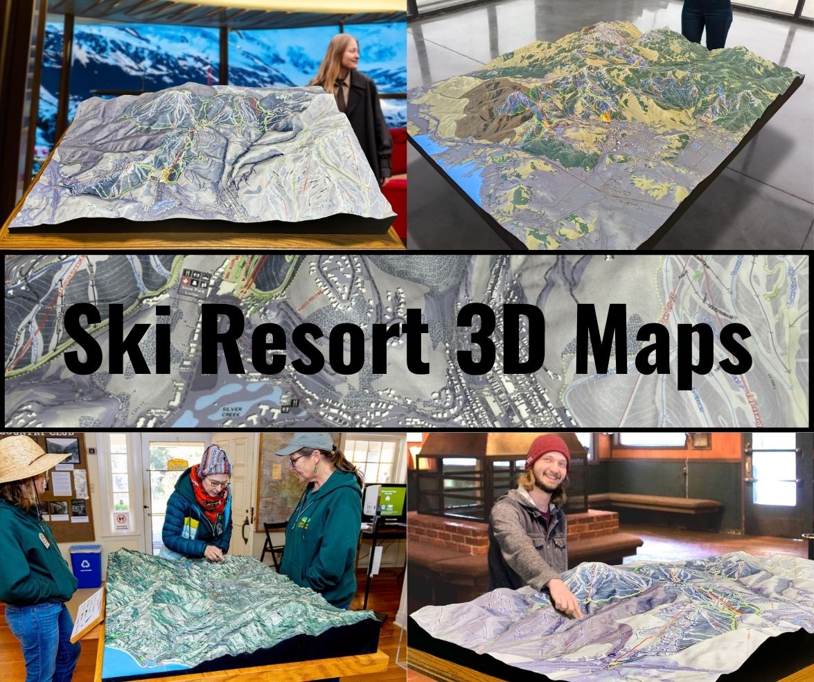
We Build Custom 3D Plymouth Notch Maps
Plymouth Notch 3D Maps: Discover Vermont’s Private Ski Haven in Detailed Terrain
Plymouth Notch, a hidden gem tucked away in Vermont, offers a luxurious, exclusive skiing experience unlike any other. Known for its intimate atmosphere, stunning landscapes, and pristinely groomed trails, this private resort appeals to skiers who prioritize quality over quantity. With a focus on providing a peaceful, crowd-free escape, Plymouth Notch is an idyllic winter wonderland for skiers seeking an exceptional mountain adventure. And to fully explore the resort’s meticulously maintained terrain, Plymouth Notch 3D maps serve as an essential tool.
These 3D maps not only provide detailed, immersive guidance for navigating the mountain’s scenic runs but also highlight the beauty and intricacies of the terrain. In this blog, we’ll dive into the fascinating process of how Plymouth Notch 3D maps are created, as well as take a closer look at some of the major ski runs that define this exclusive resort. Whether you’re a first-time visitor or a regular at this private retreat, these maps are key to unlocking the full potential of the Plymouth Notch skiing experience.

Crafting Plymouth Notch 3D Maps: Precision and Artistry Combined
Creating an accurate 3D map of a ski resort like Plymouth Notch requires more than just technology—it’s a combination of precision engineering, data collection, and artistic craftsmanship. The goal is to produce a map that captures every feature of the terrain while remaining a functional and visually appealing tool for skiers. Unlike larger resorts, where sprawling runs may prioritize volume, Plymouth Notch is carefully curated to offer a high-quality, intimate skiing experience. Every detail of this small, luxurious resort must be accurately reflected in the map to help skiers make the most of their time on the mountain.
The fabrication of a 3D map begins with the collection of detailed topographical data using LiDAR (Light Detection and Ranging) technology. LiDAR employs laser pulses to measure distances by sending them out and calculating how long they take to bounce back after hitting the Earth’s surface. The result is a highly accurate, three-dimensional model of the landscape, capturing even the smallest elevation changes. For Plymouth Notch, where the terrain’s natural beauty and subtle topography are central to the skiing experience, LiDAR ensures that every slope, ridge, and contour is captured with precision.
In addition to LiDAR, GPS (Global Positioning System) technology is used to ensure that key features like ski trails, lifts, lodges, and other landmarks are positioned accurately on the map. GPS data helps place these elements with pinpoint accuracy, ensuring that the physical 3D map aligns perfectly with the real-world layout of the resort. This combination of LiDAR and GPS creates the foundation for an accurate and comprehensive digital model of Plymouth Notch.
Once the data has been collected, it is transferred into computer-aided design (CAD) software, where designers create a detailed 3D digital model of the resort. This model includes every elevation change, slope angle, and natural feature, as well as the precise location of man-made elements such as ski trails and lifts. The digital model serves as the blueprint for the physical 3D map.
To create the physical map, two primary methods are used: CNC (Computer Numerical Control) machining or 3D printing. CNC machines carve the mountain’s contours into materials like foam or resin, following the exact specifications of the digital model. This process allows for a highly detailed and accurate representation of the terrain, ensuring that every ridge and slope is perfectly replicated. Alternatively, 3D printing technology can be used to build the map layer by layer, creating a detailed and intricate representation of Plymouth Notch’s terrain.
Once the base of the map has been created, the artistic phase begins. Skilled artisans hand-paint the map, using realistic colors to reflect the natural beauty of the resort. Snow-covered trails are rendered in shades of white, while the surrounding forests are painted in deep greens and browns. Shading techniques are applied to represent changes in elevation, with lighter tones used for higher elevations and darker hues for the valleys. This level of artistry not only makes the map visually stunning but also helps skiers intuitively understand the terrain’s features.
Finally, the ski trails, lift lines, and key landmarks are added to the map. Each trail is color-coded based on its difficulty level—green for beginners, blue for intermediates, black for advanced, and double black for expert-only terrain. Lift lines are clearly marked, showing skiers how to navigate between different sections of the mountain. By the time the map is complete, it serves as both a functional navigational tool and a work of art that reflects the beauty and precision of Plymouth Notch’s alpine terrain.
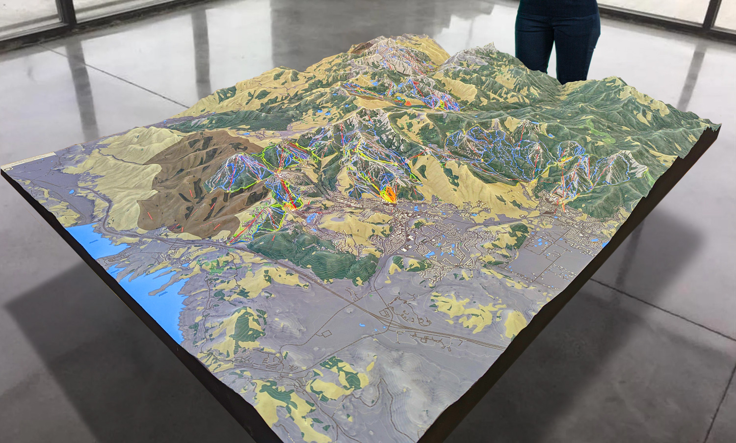
 Park City 3D Raised Relief Map
Enhancing the Ski Experience: Navigating Plymouth Notch with 3D Maps
At Plymouth Notch, every detail is carefully crafted to provide a premium skiing experience. The resort is smaller and more intimate than many large ski areas, but its expertly groomed terrain, quiet ambiance, and scenic beauty offer an unparalleled experience. Navigating this exclusive resort becomes even more enjoyable with the help of a Plymouth Notch 3D map, which gives skiers an immersive, detailed view of the terrain and key features.
One of the standout features of these 3D maps is their ability to clearly convey changes in elevation. With a vertical drop of over 1,200 feet, understanding the nuances of Plymouth Notch’s terrain is essential for skiers who want to make the most of their time on the mountain. The 3D map shows where the steepest sections are located and how the terrain flows from the summit to the base, providing a clear visual representation of the slopes.
For skiers seeking to explore Plymouth Notch’s diverse terrain, the 3D map provides a clear overview of the resort’s trail network. The resort offers a range of trails, from gentle, beginner-friendly slopes to more advanced runs that challenge even experienced skiers. The map highlights each trail’s difficulty level, helping skiers choose the best routes based on their abilities.
Additionally, the map provides an overview of the lift system, showing the location of each lift and how it connects to the various trails. This is particularly useful for skiers who want to maximize their time on the mountain by efficiently navigating from one section of the resort to another. With only a handful of lifts, the 3D map helps skiers understand how to access all of Plymouth Notch’s hidden gems with ease.
The map also enhances the overall skiing experience by showcasing the natural beauty of Plymouth Notch. The resort is known for its quiet, tree-lined trails and scenic views, and the 3D map captures this ambiance by representing the resort’s layout in a visually engaging way. Skiers who appreciate the beauty of their surroundings will enjoy the opportunity to explore Plymouth Notch in greater detail, discovering new trails and scenic spots along the way.
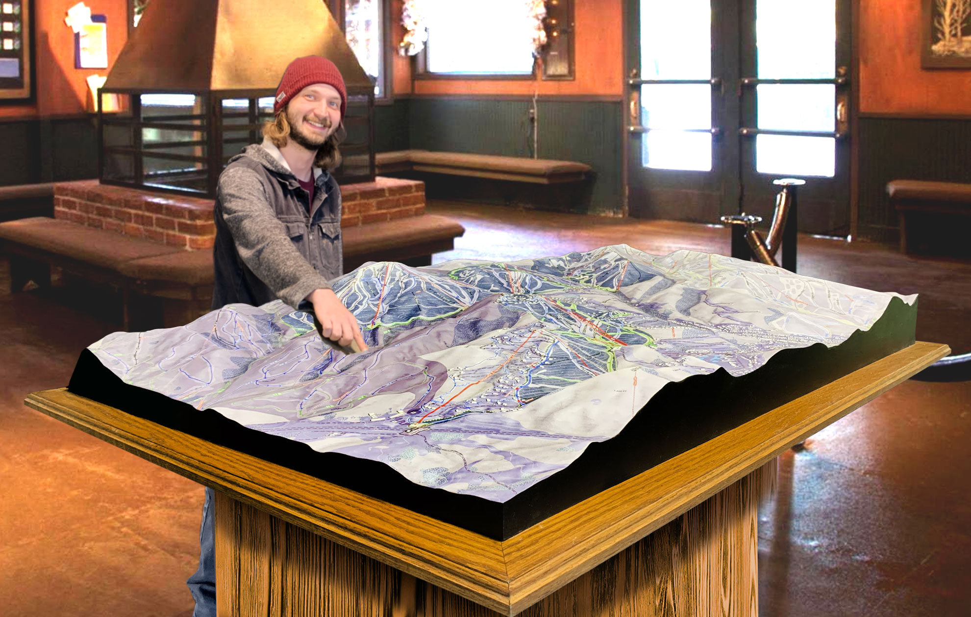
 Deer Valley 3D Raised Relief Map
Major Ski Runs at Plymouth Notch: A Deep Dive into the Trails
Though Plymouth Notch is a smaller, more intimate resort, it offers a variety of trails that cater to skiers of all abilities. From wide-open beginner runs to more advanced black diamond trails, the resort’s terrain is designed to provide a balanced and enjoyable experience for all visitors. The 3D map gives skiers a detailed look at these trails, helping them plan their day and make the most of their time on the mountain.
For beginners, the resort’s Green Circle Trails provide the perfect environment for learning the basics of skiing. Wide, gentle slopes like Evergreen and Spruce offer plenty of space for practicing turns and building confidence. These trails are ideal for families and new skiers who want to enjoy a relaxed, low-pressure environment while improving their skills. The 3D map clearly shows the layout of these trails, making it easy for beginners to navigate the resort and explore the gentle slopes at their own pace.
Intermediate skiers will find plenty to enjoy on Plymouth Notch’s Blue Square Trails. Trails like Maple and Birch offer a mix of rolling terrain, groomed slopes, and scenic views. These intermediate runs are perfect for skiers looking for a bit more speed and excitement, without venturing into expert-only territory. The 3D map highlights these blue square trails, showing how they flow down the mountain and connect to other sections of the resort.
For more advanced skiers, Plymouth Notch offers several challenging Black Diamond Trails. Trails like Hemlock and Tamarack feature steeper pitches, tighter turns, and more technical terrain, making them ideal for skiers who are looking to push their limits. These trails provide a thrilling descent and are sure to satisfy skiers who crave a more intense experience. The 3D map marks these black diamond trails clearly, showing their steepness and difficulty level so that expert skiers can prepare for the challenges ahead.
In addition to its traditional groomed trails, Plymouth Notch also offers opportunities for tree skiing. The resort’s Glades provide a more off-piste experience, where expert skiers can navigate through the trees and enjoy the thrill of skiing in a more natural setting. The 3D map highlights these glades, showing how they connect to the main trails and helping expert skiers plan their routes through the forested sections of the mountain.
Conclusion: Plymouth Notch 3D Maps – Your Key to Exploring Vermont’s Exclusive Resort
Plymouth Notch may be one of Vermont’s smaller and more exclusive ski resorts, but it offers an unforgettable skiing experience for those who seek luxury, quiet, and pristine terrain. From its carefully groomed runs to its breathtaking alpine views, Plymouth Notch provides a peaceful retreat for skiers of all skill levels. Navigating this private resort is made even easier with the help of Plymouth Notch 3D maps, which provide a detailed and immersive view of the resort’s trails, lifts, and scenic features.
By blending advanced technology with artistic craftsmanship, Plymouth Notch 3D maps offer more than just a navigational tool—they provide an experience. Whether you’re cruising down gentle beginner slopes, navigating the flowing intermediate runs, or tackling the more challenging black diamond trails, these maps give you the confidence to explore every corner of the mountain.
For those who appreciate the finer details of skiing, these maps not only help you plan your day but also allow you to appreciate the beauty and intricacies of Plymouth Notch’s terrain. Whether you’re enjoying a quiet day on the slopes, exploring the tree-lined glades, or simply taking in the stunning views from the summit, Plymouth Notch 3D maps enhance every aspect of your experience.
By combining state-of-the-art LiDAR and GPS technology with handcrafted artistry, Plymouth Notch 3D maps capture the essence of the resort, offering an in-depth and accurate representation of its trails, terrain, and natural beauty. Skiers of all levels can rely on these maps to navigate the mountain with ease, ensuring they make the most of every run and discover new adventures with confidence.
In the end, these 3D maps are more than just a guide—they’re an invitation to explore Plymouth Notch in a new, exciting way. Whether you’re a first-time visitor or a seasoned regular, the maps unlock the hidden wonders of this exclusive resort, providing a deeper connection to the mountain and enhancing your overall skiing experience. For those lucky enough to ski at Plymouth Notch, these 3D maps are an indispensable tool for making the most of Vermont’s premier private skiing destination.
Check out WhiteClouds’ 3D Maps for more information on 3D maps of Plymouth Notch Ski Resort.
