Powderhouse Hill 3D Maps
Powderhouse Hill 3D Maps
We Build Custom 3D Powderhouse Hill Maps
The Importance of 3D Maps: Elevating the Experience at Powderhouse Hill
Powderhouse Hill is a small yet beloved ski area located in South Berwick, Maine. Known for its welcoming atmosphere, Powderhouse Hill is the perfect destination for families, beginners, and anyone looking for a local skiing experience without the crowds and chaos of larger resorts. While the ski area may be smaller in size, the charm and excitement it offers are undeniable. To fully appreciate the terrain at Powderhouse Hill, a 3D map provides a unique perspective, giving skiers and snowboarders a clearer understanding of the layout, slopes, and key features of the hill.
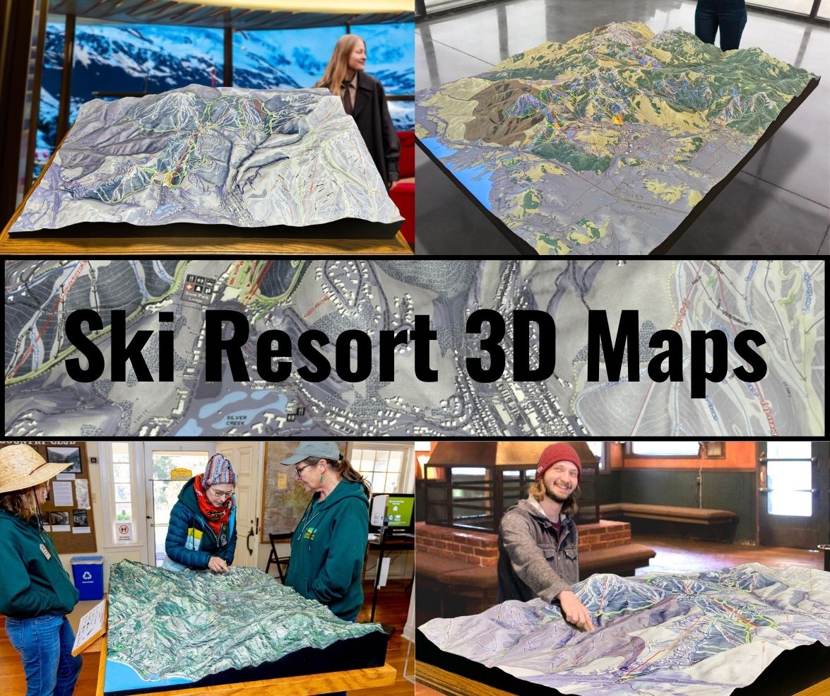
3D maps are much more than just functional guides—they are detailed, visual representations of the landscape. By providing a topographical view of the hill, 3D maps allow skiers to explore every slope and turn, helping them plan their runs and understand the challenges ahead. Whether you’re a first-time skier trying to navigate the beginner-friendly trails or a seasoned local who loves to hit Powderhouse Hill’s more challenging slopes, a 3D map is an invaluable tool.
Beyond their practicality, 3D maps of Powderhouse Hill are also beautiful works of art. Capturing the intricacies of the landscape in three dimensions allows for a new appreciation of the natural beauty and unique character of the ski area. These maps are also excellent keepsakes for visitors who want to take home a piece of their skiing adventure. In this blog, we’ll take a deep dive into how these 3D maps are fabricated and explore the major ski runs at Powderhouse Hill.

The Fabrication Process of Powderhouse Hill 3D Maps: A Blend of Technology and Art
The creation of a 3D map for Powderhouse Hill is a meticulous process that blends cutting-edge technology with skilled craftsmanship. It all begins with the collection of topographical data, which is usually sourced from satellite imagery, aerial photography, and Geographic Information Systems (GIS). These sources provide highly accurate measurements of the hill’s elevations, slopes, and unique geographical features. The precision of this data is essential to ensure the final map accurately reflects the real-world terrain.
Once the topographical data is gathered, designers begin the process of building a digital 3D model. Specialized mapping software is used to translate the raw data into a detailed three-dimensional model of Powderhouse Hill. This model captures the full complexity of the terrain, including every peak, slope, and valley, while ensuring the scale and proportions remain accurate. The digital model serves as the blueprint for the physical 3D map.
With the digital model completed, the fabrication process begins. High-density foam or other lightweight materials are typically used to create the physical structure of the map. The digital model is divided into layers that correspond to different elevation levels. These layers are either carved from foam or 3D printed, depending on the scale of the map. Once the layers are assembled, they form a three-dimensional replica of Powderhouse Hill.
At this stage, the map is still a blank canvas. The next step is to bring it to life with color and texture. Skilled artists take over, carefully painting the map to reflect the real-world appearance of the hill. Snow-covered areas are given a crisp white finish, while forested sections are painted in shades of green and brown. The ski trails are color-coded according to their difficulty level, making it easy for skiers to identify beginner, intermediate, and advanced runs. Key landmarks such as the lodge, parking areas, and chairlifts are also added to the map, ensuring it is both visually appealing and highly functional.
Once the painting is complete, the map is coated with a protective layer to preserve its colors and details. This final step ensures that the 3D map remains durable and resistant to wear, making it perfect for display in ski lodges, information centers, or homes. The result is a visually stunning and highly detailed 3D map that captures the essence of Powderhouse Hill in a way that traditional flat maps cannot.
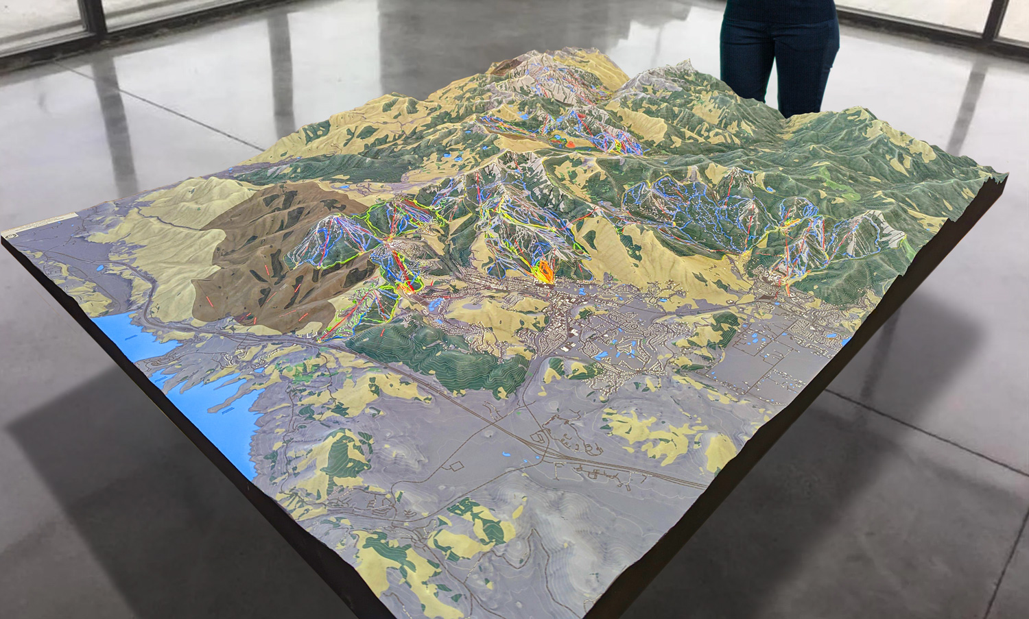
 Park City 3D Raised Relief Map
Exploring the Major Ski Runs at Powderhouse Hill
Though Powderhouse Hill is smaller compared to larger ski resorts, it offers a variety of ski runs that cater to all levels of skiers. From beginner slopes to more challenging terrain, Powderhouse Hill provides a fun and engaging skiing experience for locals and visitors alike. Let’s take a closer look at the major ski runs at Powderhouse Hill and how they are showcased on the 3D map.
- Bunny Slope (Beginner): The Bunny Slope at Powderhouse Hill is the ideal place for beginners and young skiers who are just starting out. This gentle, open slope allows skiers to practice their turns, balance, and basic skiing techniques in a safe and controlled environment. The 3D map highlights the Bunny Slope’s gradual gradient, providing a clear view of its wide, forgiving layout. Located near the base of the hill, the Bunny Slope is easily accessible and a favorite spot for families and first-time skiers.
- Pine Run (Intermediate): Once skiers have gained confidence on the Bunny Slope, Pine Run offers a perfect next step. This intermediate trail features a gentle yet steady incline, offering more excitement and challenge without being too difficult. The 3D map shows Pine Run’s smooth, winding path as it navigates through a scenic section of the hill. Pine Run is the perfect trail for skiers who are looking to improve their skills while enjoying a peaceful, scenic ride down the slope.
- Ridge Line (Intermediate): Ridge Line is another intermediate trail that offers a bit more variety in terms of terrain. This run features a mix of steeper sections and wide, sweeping turns that make it a favorite among more experienced skiers. The 3D map highlights Ridge Line’s unique layout, showing how it hugs the side of the hill and offers fantastic views of the surrounding area. With its balance of challenging terrain and scenic beauty, Ridge Line is a must-try for skiers who are ready to take their skills to the next level.
- Powder Drop (Advanced): For those seeking a more thrilling experience, Powder Drop provides the challenge they crave. This advanced trail features steeper inclines, tighter turns, and faster speeds, making it the most exciting run on the hill. The 3D map highlights Powder Drop’s steep descent, allowing skiers to visualize the terrain before they tackle it. This run is perfect for experienced skiers who are looking for an adrenaline-pumping ride.
- Summit View (Scenic): While not as technically challenging as some of the other runs, Summit View offers breathtaking views of the surrounding landscape. This trail starts near the top of Powderhouse Hill and gently descends along a ridge, offering skiers panoramic views of the rolling hills and forested areas below. The 3D map beautifully captures the scenic route of Summit View, making it a popular choice for skiers who want to take in the natural beauty of the area while enjoying a leisurely ride down the hill.
Enhancing the Skiing Experience with 3D Maps
Powderhouse Hill’s 3D maps are more than just tools for navigating the slopes—they enhance the overall skiing experience by offering a detailed and immersive view of the terrain. For beginners, the map provides a sense of comfort by clearly marking the easy-to-navigate Bunny Slope and other beginner-friendly trails. Knowing exactly where to start and how to access the easiest runs can make a huge difference for first-time skiers, helping them build confidence on the snow.
Intermediate skiers benefit from the map’s ability to showcase the more challenging trails like Pine Run and Ridge Line. By studying the map beforehand, skiers can plan their routes, anticipate changes in terrain, and decide which trails suit their skill level. For advanced skiers, the 3D map highlights the more difficult terrain, such as the steep descents of Powder Drop, allowing them to prepare for a thrilling challenge.
The 3D map also helps families and groups coordinate their skiing adventures. With clearly marked trails, landmarks, and access points, the map makes it easy to plan meeting spots, decide on routes, and ensure that everyone can enjoy their day on the hill. Additionally, the map highlights the location of key facilities such as the lodge, restrooms, and parking areas, ensuring that visitors can find everything they need.
For those who enjoy night skiing, the 3D map also indicates which trails are illuminated after dark, providing a unique and exciting way to experience the hill under the stars.
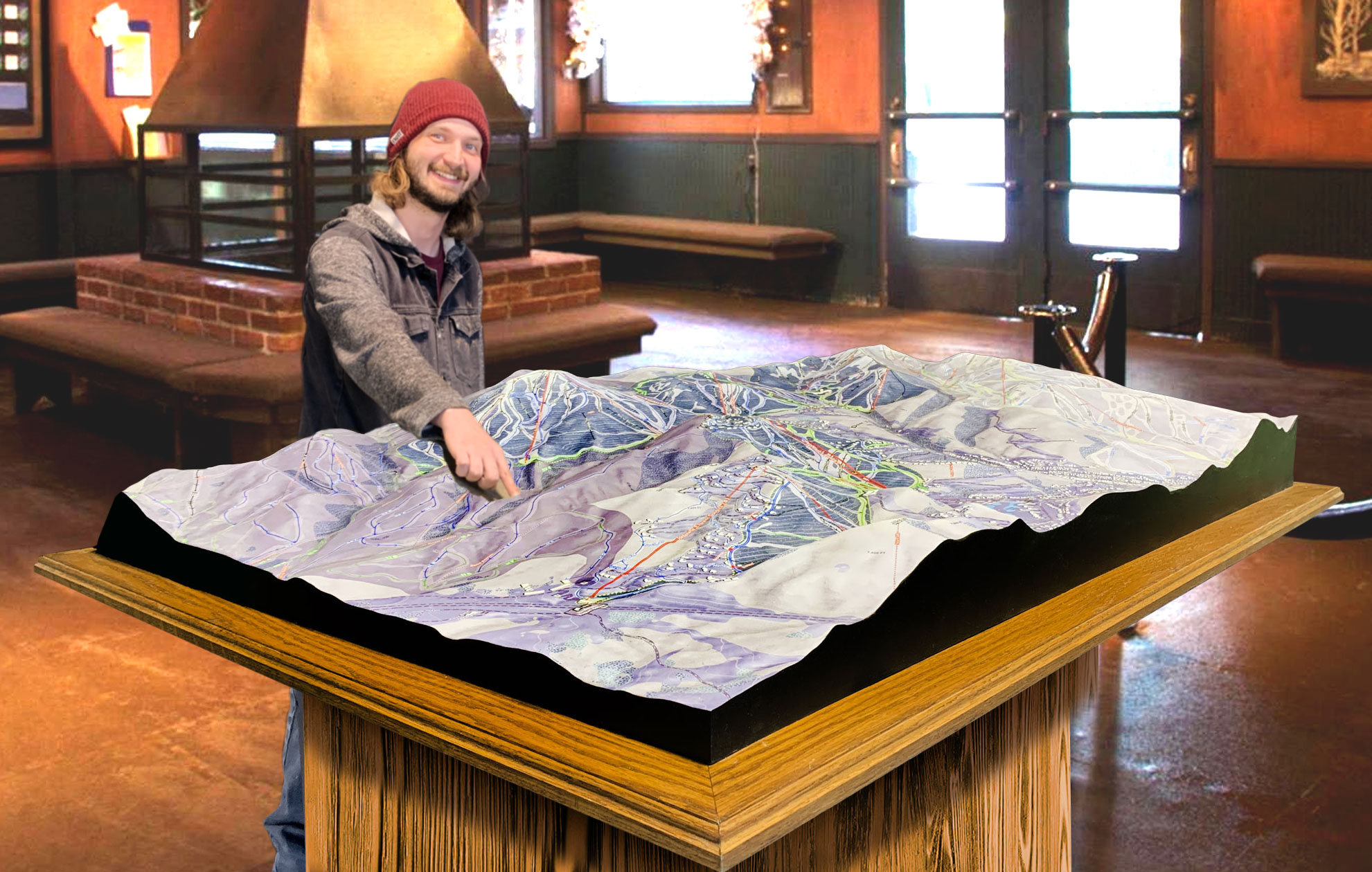
 Deer Valley 3D Raised Relief Map
3D Maps as Keepsakes and Art
In addition to their practical uses, Powderhouse Hill’s 3D maps are often purchased as souvenirs. Many visitors take home these maps as a reminder of their time on the slopes, displaying them in their homes as beautiful works of art. The combination of intricate craftsmanship and topographical accuracy makes these maps more than just functional tools—they are pieces of art that capture the essence of Powderhouse Hill.
For collectors and ski enthusiasts, a 3D map of Powderhouse Hill represents a connection to the mountain and a visual reminder of the experiences shared on its slopes. Whether displayed on a wall or used as a planning tool for future visits, the 3D map is a cherished keepsake that brings the magic of Powderhouse Hill to life in a tangible way.
Conclusion: The Perfect Blend of Technology, Art, and Adventure
Powderhouse Hill 3D maps are a perfect example of how technology and artistry can combine to create something both functional and beautiful. These maps not only serve as practical guides for navigating the hill but also as detailed works of art that celebrate the natural beauty and unique terrain of Powderhouse Hill.
From the intricate process of gathering topographical data to the detailed painting that brings the map to life, each 3D map is a labor of love that captures the spirit of the mountain. Whether you’re a beginner learning to skior a seasoned expert seeking thrilling runs, Powderhouse Hill’s 3D maps provide the perfect way to navigate, explore, and appreciate the mountain. These maps offer more than just directions—they offer an immersive and engaging experience that enhances your time on the slopes. As both functional guides and beautiful keepsakes, Powderhouse Hill 3D maps embody the perfect blend of technology, artistry, and adventure, ensuring that every skier can take a piece of the mountain home with them.
Check out WhiteClouds’ 3D Maps for more information on 3D maps of Powderhouse Hill Ski Resort.
