Santee River Watershed Map
Santee River Watershed Map
We Build Custom 3D Watershed Maps
Santee River Watershed Map: Exploring the Lifeblood of South Carolina
The Santee River Watershed is one of the largest and most ecologically diverse watersheds in the southeastern United States, spanning over 17,000 square miles across South Carolina and parts of North Carolina. Anchored by the Santee River, which flows 143 miles from Lake Marion to the Atlantic Ocean, the watershed connects a vast network of rivers, wetlands, and coastal ecosystems. A detailed Santee River Watershed map provides insights into its interconnected waterways, ecological significance, and the challenges it faces in balancing development with environmental conservation.
Tracing the Santee River Watershed: From Mountain Streams to Coastal Marshes
The Santee River Watershed originates in the Blue Ridge Mountains, where the Catawba and Broad Rivers begin their journeys. These rivers, along with the Congaree and Wateree, converge into the Santee River system, creating a vast network that drains much of central and eastern South Carolina. The watershed includes major reservoirs like Lake Marion and Lake Moultrie, which regulate water flow and provide critical resources for the region.
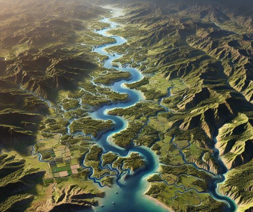
Maps of the Santee River Watershed highlight its expansive reach, illustrating how water travels from upland forests through agricultural plains and into the coastal estuaries. These maps underscore the watershed’s importance in connecting diverse habitats and supporting both human and ecological communities.
Ecological Richness of the Santee River Watershed
The Santee River Watershed is a biodiversity hotspot, encompassing a wide range of habitats that support an impressive array of plant and animal species. Its forests, floodplains, and wetlands provide critical habitats for wildlife, making the watershed a vital ecological corridor.
The river and its tributaries are home to numerous aquatic species, including catfish, bass, and the endangered shortnose sturgeon. Wetlands and floodplains along the river serve as essential breeding and feeding grounds for amphibians, reptiles, and migratory birds such as herons, egrets, and bald eagles. Coastal marshes at the river’s mouth support estuarine species like shrimp, crabs, and oysters, which are vital to both the ecosystem and local economies.
Watershed maps are indispensable tools for conservation, helping to identify critical habitats, monitor environmental changes, and guide restoration projects. For instance, maps highlighting areas of wetland degradation or water quality decline can inform targeted efforts to enhance biodiversity and ecosystem resilience.
The Santee River Watershed’s Role in Economy and Culture
The Santee River Watershed is a cornerstone of South Carolina’s economy, supporting agriculture, forestry, energy production, and recreation. Its fertile soils and abundant water resources make it a hub for farming, with crops like cotton, soybeans, and peanuts thriving in the region. The watershed also sustains timber production and aquaculture, which contribute significantly to local economies.
Reservoirs within the watershed, such as Lake Marion and Lake Moultrie, provide hydroelectric power, drinking water, and recreational opportunities. These reservoirs are critical for managing water flow and mitigating flooding, underscoring their importance to regional infrastructure.
Recreational activities, including fishing, kayaking, and birdwatching, attract residents and tourists alike, fostering a strong connection to the river. The watershed’s scenic beauty and cultural significance are celebrated in art, music, and traditions that reflect South Carolina’s heritage.
Challenges Facing the Santee River Watershed
The Santee River Watershed faces numerous challenges, many of which are driven by human activity and climate change. Urbanization, agricultural expansion, and industrial development have led to habitat loss, water pollution, and altered river flows. Runoff containing fertilizers, pesticides, and sediment impacts water quality, threatening aquatic ecosystems and downstream estuaries.
Climate change exacerbates these challenges, with rising temperatures, more frequent droughts, and increased flooding affecting the watershed’s health and resilience. These impacts are particularly concerning for the coastal areas, which are vulnerable to sea level rise and saltwater intrusion.
Invasive species, such as hydrilla and feral hogs, further disrupt the watershed’s ecosystems by outcompeting native species and altering habitats. Maps of the watershed are essential for addressing these issues, providing detailed information about pollution hotspots, areas at risk from flooding, and regions requiring habitat restoration.
Fabricating Santee River Watershed 3D Maps: Bridging Science and Art
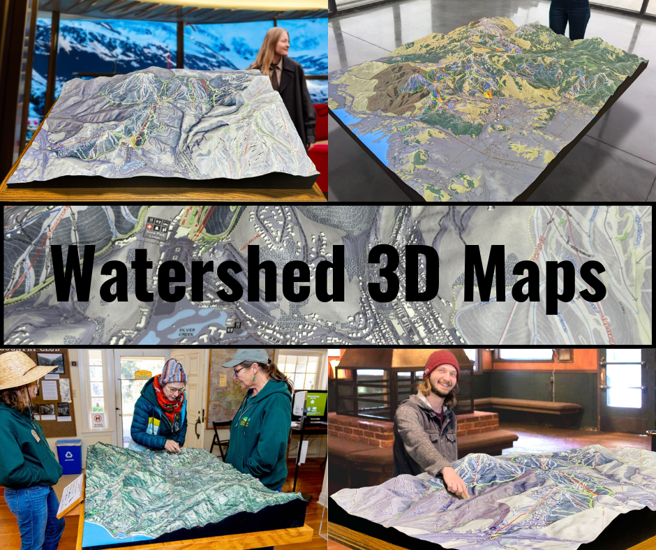
Creating a 3D map of the Santee River Watershed is a meticulous process that combines advanced technology, scientific data, and artistic craftsmanship. These maps offer a tangible and visually engaging representation of the watershed, helping viewers appreciate its scale, complexity, and ecological importance.
The process begins with the collection of high-resolution topographical and hydrological data. Organizations such as the U.S. Geological Survey (USGS) and South Carolina environmental agencies provide datasets that include elevation, land cover, and water flow information. This data is processed using geographic information system (GIS) software to create a detailed digital model of the watershed.
Once the digital model is complete, it is translated into a physical object using 3D printing technology. WhiteClouds, a leader in 3D mapping, employs state-of-the-art printers to construct the map layer by layer. Materials such as PLA (polylactic acid) or resin are used to build the structure, with each layer representing a specific elevation. This process ensures that the 3D map accurately replicates the contours and features of the watershed.
After the base structure is printed, the map undergoes a finishing process to enhance its realism. Artists hand-paint the map, using colors that correspond to the various features of the watershed. Shades of blue highlight rivers and estuaries, while greens and browns depict forests, wetlands, and agricultural areas. Airbrushing techniques are often used to create smooth transitions between different terrain types, resulting in a lifelike and visually striking map.
The final step involves applying a protective coating, such as polyurea or polyurethane, to ensure the map’s durability. This coating protects the map from wear and tear, making it suitable for use in educational displays, public exhibitions, and planning meetings.
3D maps of the Santee River Watershed are more than just tools—they are works of art that inspire curiosity and understanding. They provide a hands-on way to explore the watershed, helping people appreciate its beauty, challenges, and ecological significance.
Educational and Planning Applications of Santee River Watershed Maps
Santee River Watershed maps are invaluable resources for education, research, and planning. In classrooms, they help students learn about geography, hydrology, and ecology by providing a visual and interactive way to explore the system. For researchers, these maps offer detailed information about the watershed’s features, supporting studies on topics such as water quality, habitat restoration, and climate resilience.
Planners and policymakers use watershed maps to make informed decisions about land use, infrastructure development, and resource management. By visualizing the watershed’s topography and water flow, they can identify areas at risk from pollution, flooding, or habitat loss and develop strategies to address these challenges.
The Future of the Santee River Watershed
As the Santee River Watershed faces growing pressures from climate change, urbanization, and resource demands, the need for sustainable management and conservation has never been more urgent. Innovations in mapping technology, including 3D models, will play a critical role in addressing these challenges. By providing detailed and accurate information about the watershed, these tools enable better planning and decision-making.
The Santee River Watershed is a vital part of South Carolina’s natural heritage, supporting ecosystems, communities, and economies. By continuing to study and protect this system, we can ensure that it remains a source of life and inspiration for generations to come. Whether through traditional maps, digital tools, or immersive 3D models, the Santee River Watershed will continue to captivate and educate, highlighting the importance of preserving one of the Southeast’s most essential river systems.
Check out WhiteClouds’ 3D Maps for more information on Santee River watershed maps.

