Smugglers' Notch 3D Maps
Smugglers' Notch 3D Maps
We Build Custom 3D Smugglers' Notch Maps
Smugglers’ Notch 3D Maps: Exploring Vermont’s Family-Friendly Ski Resort in Vivid Detail
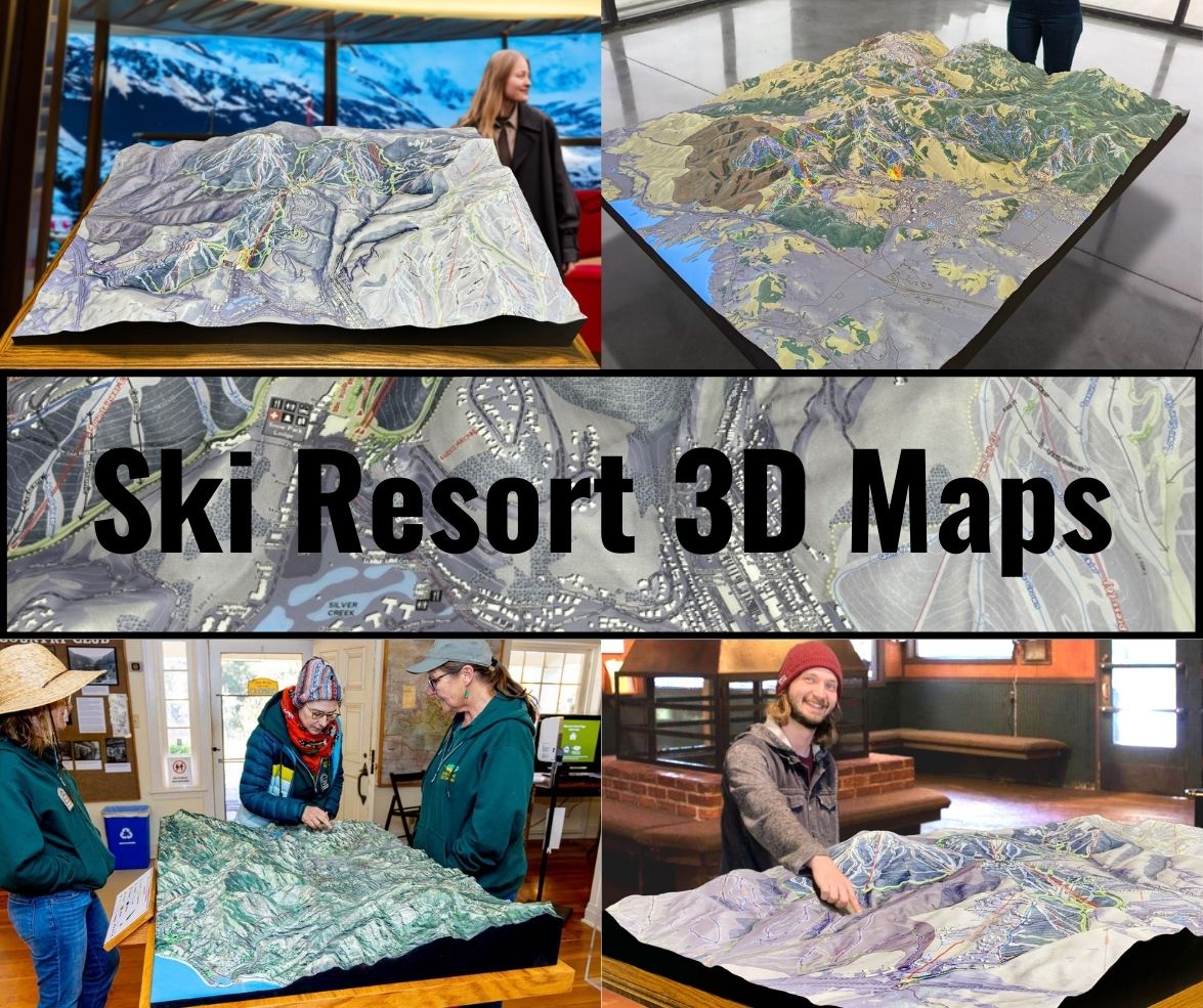
Smugglers’ Notch, nestled in the Green Mountains of Vermont, is widely regarded as one of the top family-friendly ski resorts in the United States. Offering a vast range of terrain, from gentle beginner slopes to challenging black diamonds, Smugglers’ Notch—affectionately known as “Smuggs”—is the perfect destination for skiers and snowboarders of all levels. Its unique blend of diverse terrain, stunning scenery, and charming village atmosphere keeps visitors coming back year after year. To help skiers and riders navigate this sprawling resort, Smugglers’ Notch 3D maps serve as an indispensable tool, bringing the mountain to life and offering a comprehensive view of its terrain.
In this blog, we’ll dive into how these intricately detailed 3D maps are fabricated, showcasing the combination of cutting-edge technology and craftsmanship that goes into their creation. We’ll also highlight some of the major ski runs that define Smugglers’ Notch, giving skiers a deeper understanding of the best terrain the resort has to offer.

How Smugglers’ Notch 3D Maps Are Fabricated: The Perfect Blend of Precision and Art
Creating a 3D map of a ski resort like Smugglers’ Notch requires more than just basic cartography—it’s an intricate process that combines state-of-the-art technology with artistry to provide a visually appealing and highly functional map. The objective is to create a tool that not only helps skiers and snowboarders navigate the mountain but also captures the essence of Smugglers’ Notch’s varied and beautiful terrain.
The process of making a Smugglers’ Notch 3D map begins with the collection of topographical data using LiDAR (Light Detection and Ranging) technology. LiDAR works by sending laser pulses from an airborne sensor, which then bounce off the Earth’s surface and return to the sensor. By measuring the time it takes for the pulses to return, LiDAR is able to create a highly detailed 3D image of the landscape, capturing every ridge, slope, valley, and tree line. For Smugglers’ Notch, where the terrain varies greatly from the steep cliffs of Madonna Mountain to the family-friendly slopes of Morse Mountain, LiDAR is essential for accurately mapping the mountain’s diverse topography.
GPS (Global Positioning System) technology is also used in conjunction with LiDAR to ensure the precise placement of key features, such as ski trails, lift lines, lodges, and base areas. GPS data is collected to pinpoint the exact location of these features, allowing designers to ensure that every element of the map is aligned correctly with the resort’s layout. This combination of LiDAR and GPS provides an accurate and detailed digital model of Smugglers’ Notch.
Once the raw data is gathered, the next step is creating a digital 3D model using computer-aided design (CAD) software. This model serves as the foundation for the physical 3D map, allowing designers to manipulate the terrain, refine the scale, and add features such as ski trails, lift lines, and tree lines. The CAD software also allows designers to make adjustments and ensure that the map accurately represents the mountain’s terrain while maintaining functionality.
Once the digital model is complete, the map is brought to life through physical fabrication. There are two primary methods used to create 3D maps: CNC (Computer Numerical Control) machining or 3D printing. CNC machines carve the mountain’s contours into materials like foam or resin, following the precise specifications of the digital model. This method allows for an incredibly detailed representation of the mountain’s terrain, from the gentle slopes to the rugged cliffs. Alternatively, 3D printing technology can be used to build the map layer by layer, creating a tactile representation of the mountain’s topography.
After the physical map is fabricated, the next step is to paint it by hand. Skilled artisans use realistic colors to bring the mountain to life, painting the snow-covered slopes in shades of white and highlighting the tree-covered areas in deep greens and browns. Shading is used to depict changes in elevation, with lighter tones indicating higher altitudes and darker tones representing lower areas. This attention to detail ensures that the map is not only functional but also visually engaging.
Finally, ski trails, lift lines, and key landmarks are added to the map. Each ski trail is color-coded according to its difficulty level: green for beginners, blue for intermediates, black for advanced, and double black for expert runs. Lift lines are clearly marked, showing how skiers and riders can navigate between different sections of the mountain. By the time the map is complete, it serves as both a navigational tool and a work of art, offering skiers a detailed, accurate view of Smugglers’ Notch’s terrain.
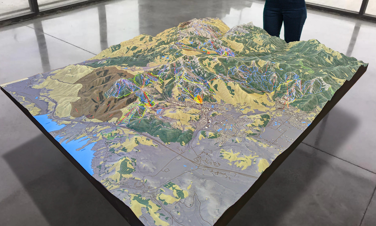
 Park City 3D Raised Relief Map
Navigating Smugglers’ Notch with 3D Maps: Elevating the Skiing Experience
Smugglers’ Notch is known for its variety of terrain, offering everything from beginner-friendly slopes on Morse Mountain to challenging expert runs on Madonna Mountain. With over 1,000 acres of skiable terrain and more than 78 trails, understanding the layout of the mountain can be overwhelming, especially for first-time visitors. This is where Smugglers’ Notch 3D maps play a crucial role in enhancing the skiing and snowboarding experience.
One of the key advantages of using a 3D map is its ability to clearly depict changes in elevation. Smugglers’ Notch has a vertical drop of 2,610 feet, and its terrain ranges from gentle slopes to steep, cliff-like descents. The 3D map allows skiers to easily visualize the steepness of each trail and understand how the terrain changes from the top of the mountain to the base. This is particularly useful for skiers who want to plan their routes based on their ability level, whether they’re looking for easy green runs or adrenaline-pumping black diamonds.
The 3D map also highlights the resort’s three distinct mountain areas: Morse Mountain, Sterling Mountain, and Madonna Mountain. Each of these areas offers a unique skiing experience, and the 3D map makes it easy to see how they are connected by the resort’s lift system.
Morse Mountain is the most beginner-friendly of the three mountains, with gentle slopes and easy access to the main village area. The 3D map shows the layout of the green circle trails on Morse Mountain, making it easy for families and beginner skiers to navigate the terrain and find the best runs for practicing and building confidence.
Sterling Mountain offers a mix of intermediate and advanced terrain, making it a great option for skiers who are ready to tackle more challenging runs. The 3D map highlights the blue square trails that wind down Sterling Mountain, as well as the more advanced black diamond runs that offer steeper, more technical terrain.
Madonna Mountain is the crown jewel of Smugglers’ Notch, offering the resort’s most challenging terrain, including steep black diamonds and expert-only double black diamond runs. The 3D map provides a detailed view of Madonna’s iconic trails, including the narrow, steep descents that attract advanced skiers and thrill-seekers.
In addition to providing detailed information about the trails, the 3D map also offers a comprehensive view of the resort’s lift system. Smugglers’ Notch has eight chairlifts, including high-speed quads and surface lifts, which provide access to different sections of the mountain. The 3D map shows the location of each lift and how it connects to the various trails, helping skiers plan their day and maximize their time on the slopes.
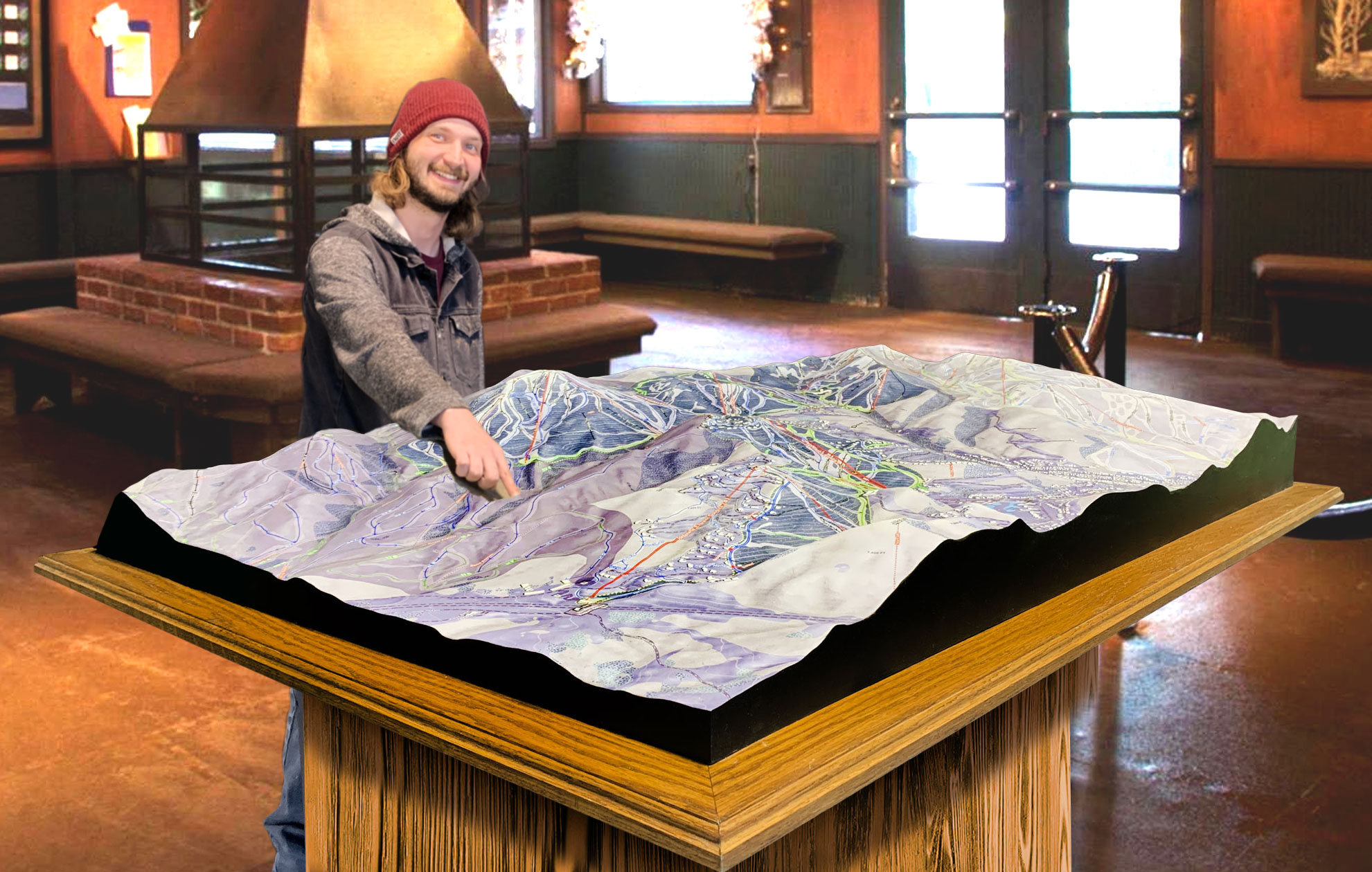
 Deer Valley 3D Raised Relief Map
Major Ski Runs at Smugglers’ Notch: A Detailed Look at Iconic Trails
Smugglers’ Notch is home to a variety of ski runs that cater to all skill levels, from gentle beginner slopes to steep expert terrain. The 3D map provides a detailed overview of the resort’s major ski runs, giving skiers the information they need to choose the best trails for their ability level.
For beginners, Garden Path on Morse Mountain is one of the most popular green circle trails. This wide, gently sloping run is perfect for first-time skiers and families, offering plenty of room for practicing turns and building confidence. The 3D map shows how Garden Path connects to other beginner trails on Morse Mountain, making it easy for new skiers to explore the terrain and enjoy a relaxed ride down the mountain.
Intermediate skiers will find plenty of blue square trails to explore on both Sterling and Madonna Mountains. Rumrunner, a favorite on Sterling Mountain, offers a fun, winding ride down the mountain with plenty of opportunities for carving turns. Upper Chilcoot, located on Madonna Mountain, provides a longer, more scenic descent, with wide-open spaces that are perfect for intermediate skiers looking for a smooth, flowing ride. The 3D map highlights these intermediate trails, showing how they connect to other parts of the mountain and providing skiers with multiple options for exploring the terrain.
For advanced skiers, Smugglers’ Notch offers a variety of black diamond and double black diamond runs that provide steep, challenging terrain. F.I.S., one of the most iconic trails on Madonna Mountain, offers a fast, technical descent that tests the skills of even the most experienced skiers. The 3D map clearly marks this black diamond run, showing its steepness and difficulty level, allowing advanced skiers to prepare for the challenge ahead. Doc Dempsey’s Glades, located on Sterling Mountain, is another favorite for expert skiers, offering tree skiing through a densely wooded area.
For those seeking even more of a challenge, Smugglers’ Notch has several double black diamond runs that provide extreme terrain for expert skiers. The Black Hole, located on Madonna Mountain, is the only triple black diamond trail in the eastern United States, offering a steep, narrow chute that requires precision and expert-level skills. The 3D map shows the location of this iconic trail, helping expert skiers plan their route and tackle the mountain’s most challenging terrain.
Conclusion: Smugglers’ Notch 3D Maps—Your Ultimate Guide to Navigating Vermont’s Premier Resort
Smugglers’ Notch is a destination that offers something for everyone, from families and beginners to advanced skiers seeking a challenge. With its diverse terrain, stunning views, and family-friendly atmosphere, Smugglers’ Notch has earned its reputation as one of Vermont’s premier ski resorts. Navigating such a vast and varied resort, however, can be overwhelming, especially for first-time visitors.
Smugglers’ Notch 3D maps are the perfect tool to enhance your skiing or snowboarding experience, providing a detailed, immersive view of the mountain’s terrain. These maps, crafted using cutting-edge LiDAR and GPS technology, offer an accurate and engaging way to explore the mountain, helping skiers of all levels plan their routes, discover new trails, and make the most of their time on the slopes. Whether you’re a beginner learning the ropes on Morse Mountain or an expert looking to tackle the steep descents of Madonna Mountain, Smugglers’ Notch 3D maps will elevate your experience and ensure that you get the most out of your day on the mountain.
Check out WhiteClouds’ 3D Maps for more information on 3D maps of Smugglers’ Notch Ski Resort.
