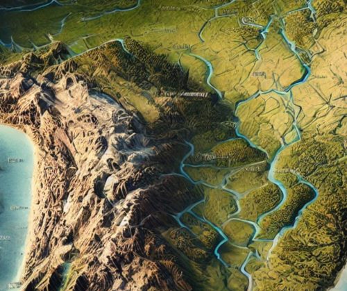
South America Topo Map
South America Topo Map
We Build Custom 3D Topo Maps
South America Topo Maps: Unveiling the Continent’s Diverse and Breathtaking Terrain
South America, a continent rich in biodiversity and geological wonders, offers an astonishing variety of landscapes. From the towering Andes Mountains and the sprawling Amazon Rainforest to the rugged Patagonian steppes and the arid Atacama Desert, South America’s terrain is as diverse as it is dramatic. Topographic maps serve as invaluable tools for navigating and understanding this remarkable continent, offering detailed insights into its elevations, landforms, and natural landmarks.
South America’s topographic maps, available in both 2D and 3D formats, provide an immersive view of its geographical marvels. These maps are essential for adventurers, conservationists, educators, and scientists, offering a deeper understanding of the continent’s unique and often extreme landscapes.
The Andes Mountains: The Spine of South America
The Andes Mountains, stretching over 4,300 miles from Venezuela to Argentina, are the longest mountain range in the world. This iconic range boasts towering peaks, active volcanoes, and high-altitude plateaus.
In 2D topographic maps, the Andes are depicted with tightly packed contour lines that emphasize their steep ridges, glacial valleys, and stratovolcanoes. Features like Aconcagua, the highest peak in the Americas, and Lake Titicaca, the world’s highest navigable lake, are prominently displayed.
3D topographic maps of the Andes bring this dramatic range to life, showcasing its sharp elevation changes, the depth of its valleys, and the intricacies of its tectonic formations. These maps are essential for climbers, hikers, and geologists studying the region’s complex geology and climate dynamics.
The Amazon Basin: A Lush, Low-Lying Giant
The Amazon Basin, home to the largest rainforest on Earth, spans multiple countries and is defined by its vast river systems and dense vegetation. This region is a crucial carbon sink and one of the most biodiverse places on the planet.
In 2D topographic maps, the Amazon Basin is represented with widely spaced contour lines, highlighting its flat terrain and intricate waterways. Features such as the Amazon River, its tributaries, and surrounding wetlands are clearly marked.
3D topographic maps of the Amazon Basin emphasize its sprawling lowlands, the transitions between the rainforest and adjacent highlands, and the vast network of rivers. These maps are vital for conservation efforts, ecological studies, and planning eco-tourism activities.
The Atacama Desert: The Driest Place on Earth
The Atacama Desert, located in northern Chile, is one of the world’s most extreme environments. Known for its arid landscapes, salt flats, and clear night skies, this region is a stark contrast to South America’s lush rainforests.
In 2D topographic maps, the Atacama Desert is depicted with contour lines that detail its rugged terrain and scattered oases. Features like the Valle de la Luna, Salar de Atacama, and Paranal Observatory are prominently displayed.
3D topographic maps of the Atacama highlight its dramatic contrasts, from salt flats to volcanic peaks, and the subtle elevation changes of its desert floor. These maps are essential for studying arid ecosystems, planning astronomy-focused tourism, and exploring the region’s unique geological formations.
Patagonia: Windswept Plains and Majestic Glaciers
Patagonia, spanning southern Argentina and Chile, is a land of dramatic contrasts, featuring windswept plains, towering glaciers, and rugged mountain ranges. This region is a haven for adventurers and nature enthusiasts.
In 2D topographic maps, Patagonia is represented with contour lines that illustrate its rolling terrain, steep fjords, and glacial formations. Features such as Torres del Paine, Perito Moreno Glacier, and the Beagle Channel are prominently displayed.
3D topographic maps of Patagonia emphasize its varied landscapes, showcasing the depth of its fjords, the height of its peaks, and the expanse of its icefields. These maps are invaluable for conservation planning, adventure tourism, and understanding glacial dynamics.
The Pantanal: A Vast Wetland Ecosystem
The Pantanal, located primarily in Brazil, is one of the world’s largest tropical wetlands. This area is known for its incredible biodiversity, including jaguars, capybaras, and countless bird species.
In 2D topographic maps, the Pantanal is depicted with gentle contour lines that detail its flat terrain and expansive floodplains. Features such as rivers, lagoons, and seasonal wetlands are clearly marked.
3D topographic maps of the Pantanal highlight its interconnected waterways, the subtle elevation changes of its floodplains, and the transitions between wetlands and uplands. These maps are essential for studying water management, wildlife conservation, and ecological tourism.
The Brazilian Highlands: Ancient Plateaus and Cascading Waterfalls
The Brazilian Highlands, covering much of central and eastern Brazil, are a region of ancient plateaus, rich soils, and dramatic escarpments. This area is vital for its agricultural productivity and natural beauty.
In 2D topographic maps, the Brazilian Highlands are represented with contour lines that illustrate their rolling terrain, deep canyons, and numerous rivers. Features such as Chapada Diamantina, Serra da Canastra, and Iguazu Falls are prominently displayed.
3D topographic maps of the Brazilian Highlands bring its landscapes to life, emphasizing the elevation changes of its plateaus, the depth of its gorges, and the patterns of its river systems. These maps are invaluable for land management, hydrology studies, and tourism planning.
How South America Topo Maps Are Fabricated: The Intersection of Technology and Craftsmanship
Creating topographic maps of South America involves advanced technology, precise data collection, and expert craftsmanship. From the towering Andes to the sprawling Amazon, South America’s diverse terrain demands detailed and accurate mapping.
The 2D Mapping Process
The creation of 2D topographic maps begins with data collection from satellite imagery, aerial surveys, and LiDAR (Light Detection and Ranging). This data is processed using Geographic Information Systems (GIS) software to generate contour lines representing changes in elevation. In South America, special attention is given to capturing the steep slopes of the Andes, the intricate waterways of the Amazon, and the flat expanses of the Pantanal. Additional features such as trails, roads, and landmarks are added to create user-friendly maps.
The 3D Mapping Process
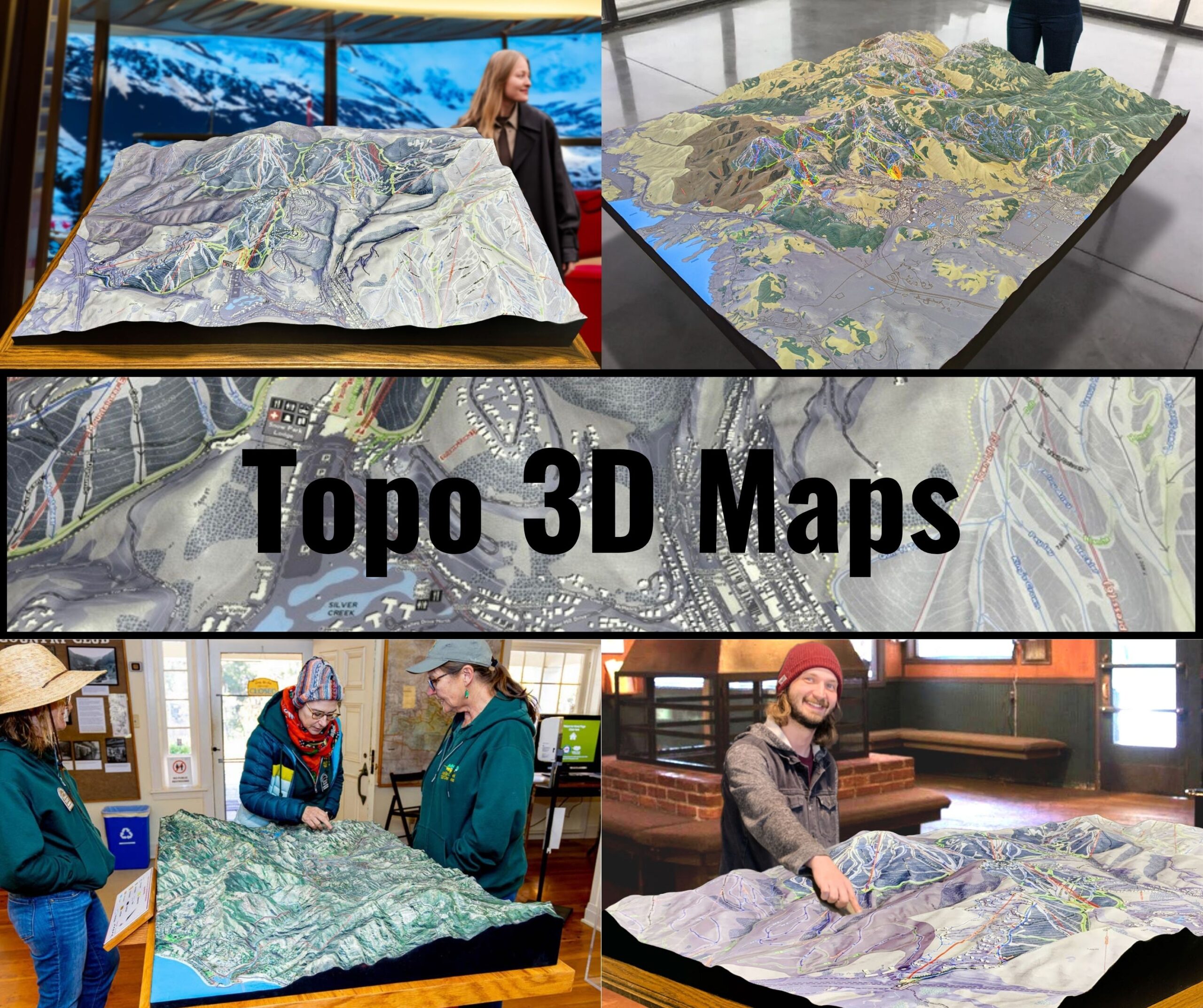
3D topographic maps are crafted by converting elevation data into three-dimensional models. Advanced software translates the data into digital 3D representations, which can then be displayed interactively or produced as physical models using 3D printing technology. For South America, features like the towering peaks of Patagonia, the depth of the Atacama Desert’s basins, and the expansive Amazon floodplains are meticulously rendered.
Once printed, 3D maps are often painted and finished to emphasize key features such as elevation changes, vegetation, and water bodies. These maps are visually stunning and provide a tactile way to explore South America’s landscapes, making them invaluable for educators, researchers, and adventurers.
South America Topo Maps for Conservation, Recreation, and Education
Topographic maps play a vital role in conserving South America’s natural resources, supporting outdoor recreation, and educating people about the continent’s geography. With its diverse ecosystems and iconic landmarks, South America requires careful stewardship to protect its environment and cultural heritage.
Conservation Applications
Conservationists use topographic maps to monitor changes in South America’s landscapes, plan restoration projects, and protect critical habitats. For example, in the Amazon Basin, these maps guide efforts to combat deforestation and protect biodiversity. In Patagonia, they are essential for studying glacial retreat and managing protected areas.
Recreational Uses
For adventurers, topographic maps are indispensable tools for exploring South America’s trails, waterways, and natural landmarks. Hikers rely on these maps to navigate the Inca Trail or Torres del Paine, while paddlers use them to plan routes along the Amazon or Orinoco Rivers. These maps also support activities like mountaineering, birdwatching, and cultural tourism.
Educational Value
Educators and students use topographic maps to study South America’s geography, geology, and ecosystems. These maps provide a hands-on way to learn about the continent’s diverse landscapes, fostering a deeper understanding of its natural and cultural heritage.
Conclusion: South America’s Landscapes Through the Lens of Topographic Maps
South America’s topographic maps reveal the continent’s breathtaking diversity in stunning detail. From the towering Andes to the lush Amazon, the arid Atacama, and the sprawling Pantanal, these maps capture the beauty and complexity of South America’s landscapes.
Whether you’re an adventurer exploring South America’s natural wonders, a scientist studying its ecosystems, or an educator teaching about its geography, topographic maps provide an invaluable tool for understanding and appreciating this remarkable continent. With both 2D and 3D options available, these maps ensure that future generations can continue to explore, protect, and celebrate the landscapes that make South America so extraordinary.
Check out WhiteClouds’ 3D Maps for more information on South America topo maps.

