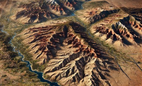
Washington Topo Map
Washington Topo Map
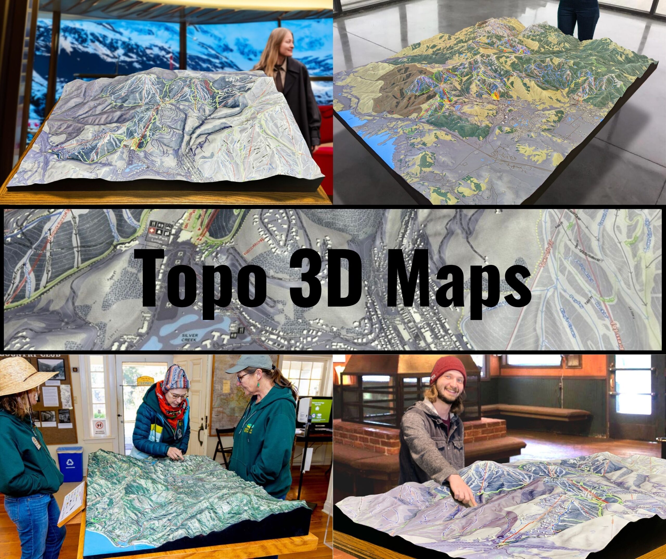
We Build Custom 3D Topo Maps
Washington Topo Maps: Exploring the Evergreen State’s Dramatic Landscapes
Washington State is a land of stunning contrasts, from its snow-capped volcanic peaks to its lush rainforests and rugged coastlines. Whether it’s the jagged summits of the North Cascades, the rolling hills of the Palouse, or the serene waters of Puget Sound, Washington’s geography is a blend of breathtaking beauty and geological complexity. Topographic maps are essential tools for navigating this diverse state, providing detailed insights into its elevations, landforms, and waterways.
Washington’s topographic maps, available in both 2D and 3D formats, serve as indispensable resources for adventurers, geologists, educators, and conservationists. These maps offer a detailed view of the Evergreen State’s varied terrain, helping to uncover its natural wonders and hidden gems.
Mount Rainier and the Cascade Range: Volcanic Majesty and Alpine Wilderness
The Cascade Range, stretching from Canada to California, is a defining feature of Washington’s landscape. At its heart lies Mount Rainier, the state’s tallest peak and an active stratovolcano that commands awe with its glaciated slopes and surrounding wilderness.
In 2D topographic maps, Mount Rainier and the Cascades are depicted with tightly packed contour lines that highlight steep slopes, deep valleys, and dramatic ridges. Features such as Paradise, the Wonderland Trail, and Carbon Glacier are prominently displayed.
3D topographic maps bring Mount Rainier and the Cascade Range to life, showcasing elevation changes, the expanse of its glaciers, and the intricate trail networks. These maps are essential for climbers, hikers, and geologists studying the region’s volcanic activity and glacial systems.
Olympic Peninsula: Rainforests, Peaks, and Pristine Coastlines
The Olympic Peninsula, home to Olympic National Park, is one of Washington’s most diverse regions, featuring temperate rainforests, rugged mountains, and a wild coastline.
In 2D topographic maps, the Olympic Peninsula is represented with contour lines that detail its steep ridges, dense forests, and winding rivers. Features such as Mount Olympus, Hoh Rain Forest, and Rialto Beach are clearly marked.
3D topographic maps of the Olympic Peninsula emphasize the region’s dramatic terrain, from the towering peaks of the Olympic Mountains to the lush valleys of its rainforests. These maps are invaluable for exploring the area’s unique ecosystems and planning outdoor adventures.
The Columbia River Gorge: A Natural Border and Scenic Marvel
The Columbia River Gorge, carving through the Cascade Range, forms a natural border between Washington and Oregon. This region is known for its waterfalls, basalt cliffs, and scenic vistas.
In 2D topographic maps, the Columbia River Gorge is depicted with contour lines illustrating its steep canyon walls and the meandering river. Features such as Beacon Rock, Multnomah Falls, and the Bridge of the Gods are prominently displayed.
3D topographic maps of the Columbia River Gorge bring its dramatic landscape to life, highlighting the depth of the canyon, the height of its cliffs, and the transitions to surrounding plateaus. These maps are essential for hikers, photographers, and conservationists exploring this iconic region.
Puget Sound: Islands, Bays, and Urban Landscapes
Puget Sound, a complex system of interconnected waterways and islands, defines much of western Washington. This area is a blend of natural beauty and bustling urban centers.
In 2D topographic maps, Puget Sound is represented with contour lines that detail its shoreline, islands, and surrounding terrain. Features such as Bainbridge Island, the San Juan Islands, and the cities of Seattle and Tacoma are clearly marked.
3D topographic maps of Puget Sound emphasize the interplay of land and water, showcasing the depth of its channels, the contours of its islands, and the patterns of its urban and natural landscapes. These maps are invaluable for navigation, ecological studies, and recreational planning.
The Palouse: Rolling Hills and Agricultural Riches
The Palouse region in southeastern Washington is characterized by its rolling hills and fertile farmlands, offering a striking contrast to the state’s mountainous regions.
In 2D topographic maps, the Palouse is depicted with smoothly curving contour lines that illustrate its undulating terrain and agricultural fields. Features such as Steptoe Butte, Snake River, and Palouse Falls are prominently displayed.
3D topographic maps of the Palouse highlight the region’s subtle elevation changes, the patterns of its farmlands, and the transitions to nearby river valleys. These maps are perfect for land-use planning, ecological studies, and outdoor exploration.
Washington’s Volcanic Heritage: Mount St. Helens and Beyond
Washington’s volcanic legacy is most evident in Mount St. Helens, which erupted in 1980, reshaping its landscape and providing a natural laboratory for studying volcanic processes.
In 2D topographic maps, Mount St. Helens is represented with contour lines that highlight its crater, surrounding valleys, and lava flows. Features such as Spirit Lake, Johnston Ridge, and the Toutle River are clearly marked.
3D topographic maps of Mount St. Helens bring its dynamic landscape to life, showcasing the elevation changes of its crater, the extent of its debris fields, and the patterns of regrowth. These maps are essential for geologists, educators, and adventurers exploring the region.
How Washington Topo Maps Are Fabricated: Precision Mapping in 2D and 3D
Creating topographic maps of Washington requires advanced technology, detailed data collection, and skilled craftsmanship. From the towering peaks of the Cascades to the rolling hills of the Palouse, Washington’s varied terrain demands accurate and comprehensive mapping.
For 2D topographic maps, the process begins with data collection from satellite imagery, aerial surveys, and LiDAR (Light Detection and Ranging). This data is processed using Geographic Information Systems (GIS) software to create contour lines that represent changes in elevation. In Washington, special attention is given to capturing the dramatic cliffs of the Columbia River Gorge, the glaciers of Mount Rainier, and the tidal patterns of Puget Sound. Additional features such as trails, roads, and landmarks are added to create detailed maps.
Creating 3D topographic maps involves rendering elevation data into three-dimensional models. Advanced software translates the data into digital 3D representations, which can then be printed using 3D printers or displayed digitally for interactive exploration. For Washington, special care is taken to highlight features such as the height of Mount Baker, the intricate coastline of the San Juan Islands, and the rugged beauty of the Olympic Mountains.
Once the 3D maps are created, they are often painted and finished to enhance their visual appeal and highlight key features such as elevation changes, vegetation, and water bodies. These maps provide a tactile and immersive way to explore Washington’s landscapes, making them invaluable for educators, researchers, and outdoor enthusiasts.
Washington Topo Maps for Conservation, Recreation, and Education
Topographic maps play a vital role in conserving Washington’s natural resources, supporting outdoor recreation, and educating people about the state’s geography. With its diverse ecosystems and iconic landmarks, Washington requires careful management to preserve its environment and heritage.
Conservationists use topographic maps to monitor changes in Washington’s environment, plan restoration projects, and protect critical habitats. For example, in the Cascades, these maps guide efforts to manage trails and preserve alpine ecosystems. Along Puget Sound, topographic maps are essential for studying shoreline erosion and planning conservation initiatives.
For adventurers, topographic maps are indispensable tools for exploring Washington’s trails, waterways, and natural areas. Hikers rely on these maps to navigate the Pacific Crest Trail or Mount Rainier’s Wonderland Trail, while paddlers use them to plan routes along the Columbia River or Puget Sound.
Conclusion: Washington’s Landscapes Through the Lens of Topographic Maps
Washington’s topographic maps reveal the state’s diverse and captivating landscapes in stunning detail. From the rugged peaks of the Cascades to the lush rainforests of the Olympic Peninsula, the rolling farmlands of the Palouse, and the intricate waterways of Puget Sound, these maps capture the beauty and complexity of the Evergreen State.
Whether you’re an adventurer exploring Washington’s natural wonders, a scientist studying its ecosystems, or an educator teaching geography, topographic maps provide an invaluable tool for understanding and appreciating the state’s terrain. With both 2D and 3D options available, these maps ensure that future generations can continue to explore, protect, and enjoy the landscapes that make Washington unique.
Check out WhiteClouds’ 3D Maps for more information on Washington topo maps.

