Maps Glossary
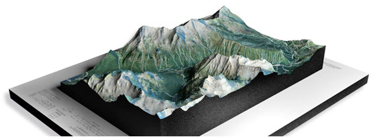
WhiteClouds builds 3D Raised Relief Maps
Did you know we make
3D raised-relief maps

and
3D raised-relief maps

Quadrangle
A quadrangle is a four-sided polygon with four angles. In geography, a quadrangle is a map depicting a specific area that is divided into four quadrants. These maps are usually used for topographical purposes and can provide a detailed look at the terrain of the area. A quadrangle may also refer to a specific area that is used for research or study, such as a geological quadrangle.
Quaternary Period
The Quaternary period is the most recent geological period in Earth’s history, spanning from about 2.6 million years ago to the present day. It is characterized by the presence of humans and the widespread glaciation of the planet. During this period, the climate has fluctuated between glacial and interglacial periods, shaping the planet’s topography through erosion and sedimentation. The Quaternary period is also marked by the extinction of many large mammals, such as mammoths and saber-toothed cats.
Quick Clay
Quick clay is a type of soil that is highly unstable and prone to sudden collapse, known as a quick clay landslide. It is formed by the accumulation of fine-grained particles, such as clay and silt, which are deposited in marine environments. The clay particles are held together by a weak electrochemical bond, which can be easily broken when the soil is disturbed or loaded. This can cause the soil to rapidly liquefy, turning from a solid to a liquid-like state, leading to catastrophic landslides. Quick clay is often found in areas with cold and wet climates, such as Norway and Canada, and poses a significant risk to infrastructure and human life.