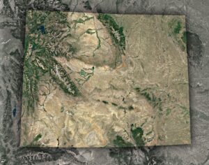
Terrain Map of Colorado
Journey through Colorado’s vast landscapes, from the echoing tales of its eastern plains to the majestic Rocky peaks. Delve deep into a geographical odyssey that showcases the Centennial State’s rich topography, as each contour reveals a new story. Experience Colorado like never before!