Top 10 Largest Coral Reefs in the World
Top 10 Largest Coral Reefs in the World
WhiteClouds builds 3D Raised Relief Maps
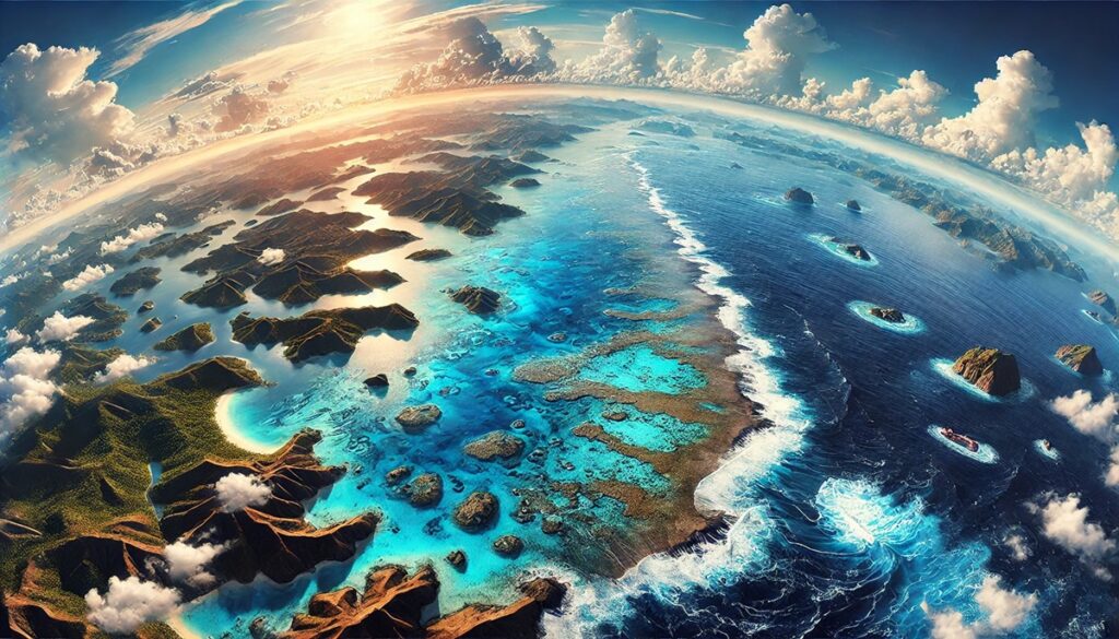
Coral reefs are among the most vibrant and diverse ecosystems on Earth, often referred to as the rainforests of the sea. These underwater marvels support an astonishing array of marine life, protect coastlines, and are vital to the global ecosystem. Coral reefs are not only ecological treasures but also serve as cultural icons, economic resources, and havens for exploration. From the expansive Great Barrier Reef in Australia to the remote Chagos Archipelago in the Indian Ocean, the world’s largest coral reefs tell a story of natural wonder and resilience. Here are the top 10 largest coral reefs in the world, ranked by size.
#1: Great Barrier Reef – 134,634 Square Miles
The Great Barrier Reef, located off the coast of Queensland, Australia, is the largest coral reef system in the world, spanning 134,634 square miles. Comprised of over 2,900 individual reefs and 900 islands, this UNESCO World Heritage Site is visible from space. It stretches over 1,400 miles along Australia’s northeastern coast.
The reef is a dazzling kaleidoscope of colors, home to more than 1,500 species of fish, 400 types of coral, and countless other marine creatures. It also holds significant cultural importance to the Aboriginal and Torres Strait Islander peoples, who have lived in harmony with the reef for thousands of years. Anecdotes of explorers like Captain Cook, who famously ran aground on the reef in 1770, add to its storied history. Despite threats from climate change and coral bleaching, the Great Barrier Reef remains an enduring symbol of natural beauty and resilience.
#2: New Caledonia Barrier Reef – 9,300 Square Miles
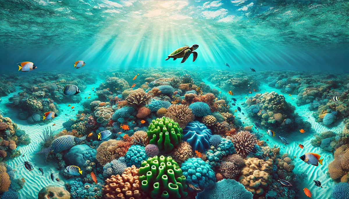
The New Caledonia Barrier Reef, encircling the French territory of New Caledonia in the South Pacific, spans approximately 9,300 square miles. This reef system is second only to the Great Barrier Reef in size and boasts the world’s largest lagoon.
Known for its crystal-clear waters and vibrant biodiversity, the reef supports a variety of marine species, including endangered dugongs and nesting turtles. Local Kanak tribes hold the reef sacred, with traditions and stories that celebrate its abundance. The reef’s beauty and accessibility make it a popular destination for divers and marine researchers. Its combination of cultural significance and ecological importance solidifies its place as one of the world’s greatest natural wonders.

#3: Belize Barrier Reef – 5,700 Square Miles
The Belize Barrier Reef, stretching 190 miles along the coast of Belize, is the largest reef system in the Northern Hemisphere. Covering about 5,700 square miles, it includes seven marine reserves, over 400 cayes, and three atolls. Its centerpiece, the Great Blue Hole, is an iconic sinkhole that draws divers from around the world.
The reef was first documented by Charles Darwin in 1842, who called it “the most remarkable reef in the West Indies.” Home to manatees, sea turtles, and colorful corals, it supports both marine life and the livelihoods of local communities. Stories of Mayan fishermen navigating its waters add to its historical depth. The reef’s blend of natural beauty and cultural heritage makes it a true gem of the Caribbean.
#4: Andros Barrier Reef – 3,800 Square Miles
The Andros Barrier Reef, located in the Bahamas, spans approximately 3,800 square miles. It is the third-largest barrier reef in the world and features a steep vertical drop known as the Tongue of the Ocean.
The reef supports an array of marine species, including Nassau grouper and queen conch, and is crucial for local fisheries. Anecdotes of pirates using the reef’s maze-like channels to evade capture add a layer of intrigue. Today, it’s a favorite among divers seeking encounters with dolphins and vibrant coral gardens. The Andros Barrier Reef remains a vital ecological and cultural asset.
#5: Chagos Archipelago – 4,000 Square Miles
The Chagos Archipelago in the Indian Ocean is home to one of the largest coral reef systems in the world, covering 4,000 square miles. Its reefs are among the healthiest on the planet due to their remote location and minimal human impact.
The archipelago’s history is marked by colonial rule and the displacement of its indigenous people, the Chagossians. Despite its complex history, the reefs thrive as a biodiversity hotspot. Stories of researchers uncovering previously unknown species in its waters highlight its ecological significance. The Chagos Archipelago is a testament to the resilience of marine ecosystems.
#6: Red Sea Coral Reef – 4,600 Square Miles
The Red Sea Coral Reef spans 4,600 square miles, stretching along the coasts of Egypt, Sudan, and Saudi Arabia. It is renowned for its vibrant coral and remarkable water clarity.
The reef has been a source of inspiration for countless explorers, traders, and divers. Tales of ancient mariners navigating its waters and modern conservation efforts make it a fascinating subject of study. The reef’s unique adaptations to warm waters make it a critical area for understanding coral resilience in the face of climate change.
#7: Mesoamerican Barrier Reef – 620 Square Miles
The Mesoamerican Barrier Reef, stretching from Mexico to Honduras, covers 620 square miles. This reef system supports over 500 species of fish and is crucial for the local economy.
The reef is steeped in Mayan history, with tales of ancient communities relying on its bounty. Today, it is a hub for eco-tourism and marine conservation. The Mesoamerican Barrier Reef highlights the delicate balance between human activity and environmental stewardship.
#8: Great Chagos Bank – 7,200 Square Miles
The Great Chagos Bank is the largest atoll structure in the world, covering 7,200 square miles. Located in the Indian Ocean, it is part of the Chagos Archipelago.
The reef is a haven for marine life, with stories of sailors marveling at its beauty during long voyages. Its remote location makes it a pristine example of marine biodiversity. The Great Chagos Bank is a symbol of unspoiled natural beauty.
#9: Florida Reef – 10,000 Square Miles
The Florida Reef is the only living coral barrier reef in the continental United States, covering 10,000 square miles. Stretching along the Florida Keys, it is a critical habitat for marine species.
The reef’s history is intertwined with tales of shipwrecks and treasure hunters. Today, it is a focus of conservation efforts, balancing tourism with ecological preservation. The Florida Reef is a cornerstone of America’s marine heritage.
#10: Saya de Malha Bank – 15,444 Square Miles
The Saya de Malha Bank in the Indian Ocean is the largest submerged bank, spanning 15,444 square miles. Although not a traditional coral reef, its vast seagrass beds and coral formations make it a vital marine ecosystem.
The bank has been a navigational challenge for sailors for centuries, with stories of shipwrecks and unexplored depths. Its remote location preserves its pristine condition. The Saya de Malha Bank is a hidden treasure of the ocean.
Coral reefs are living monuments to the beauty and resilience of nature, each telling its own story of life, adaptation, and survival. From the iconic Great Barrier Reef to the remote Saya de Malha Bank, these underwater ecosystems remind us of the importance of protecting the planet’s most vital resources. Their history, biodiversity, and cultural significance make them not only breathtaking landscapes but also crucial components of Earth’s ecological balance. Exploring these coral reefs is a journey into the heart of the ocean’s wonders.
More Great Top 10’s
Coral Reefs and Maps
Coral reefs are nature’s vibrant masterpieces, sprawling underwater worlds that pulse with life and color, where every coral branch and crevice teems with biodiversity. These living ecosystems, often visible from space, form intricate labyrinths that are as vital to the ocean as rainforests are to land. Maps of coral reefs are not just navigational tools but gateways to understanding these intricate habitats. Historical maps tell tales of ancient mariners charting perilous waters around hidden reefs, while modern maps, rich with satellite imagery and 3D topography, reveal the breathtaking complexity of reef systems. Each reef, from the expansive Great Barrier Reef to the enigmatic Saya de Malha Bank, is a story of growth, resilience, and symbiosis. Maps highlight their sprawling formations, tracing channels, lagoons, and atolls while offering insights into their ecological roles as protectors of coastlines and providers of oxygen. Coral reef maps inspire explorers and conservationists alike, balancing the wonder of discovery with the urgency of preservation. They chart the boundaries of these fragile underwater cities, showcasing not only their beauty but also their importance as sentinels of a changing climate and symbols of the interconnectedness of life on Earth.
Learn more about Maps
- Topographical Maps: Representation of the physical features of a region or area.
- Contour Maps: Representation of the contours of the land surface or ocean floor.
- Raised Relief Maps: Representation of land elevations with raised features indicating landforms.
- Terrain Maps: Representation of the physical features of a terrain or landmass.
- USGS Topographic Maps: Representation of topographic features and land elevations based on USGS data.
- USGS Historical Topographic Maps: Representation of historical topographic maps created by the USGS.
- Watershed Maps: Representation of the areas where water flows into a particular river or lake.
- Elevation Maps: Representation of land and water elevations with high precision.
- Physical Maps: Representation of physical features of the Earth’s surface such as landforms, oceans, and plateaus.
- Bathymetric Maps: Representation of the topography and features of the ocean floor.
- NOAA Maps: Representation of atmospheric, oceanographic, and environmental data by NOAA.
- Nautical Maps: Representation of the underwater features and depth of an area for navigation purposes.
- Geologic Maps: Representation of the geologic features of an area such as rock types, faults, and folds.
- Satellite Maps: Representation of earth from high-definition satellite imagery.
Contact us today to learn more about our services and how we can help you achieve your goals.


