Top 10 Countries with the Most Lakes
Top 10 Countries with the Most Lakes
WhiteClouds builds 3D Raised Relief Maps
Dive into an exploration of some of the most lake-laden landscapes on the planet. We present to you the top ten countries with the most lakes, each with its own unique aquatic history, majestic wonders, and enchanting folklore. Prepare for an exhilarating journey that will leave you yearning to encounter these aquatic treasures first-hand.
#1: Canada Lakes (2,000,000+)
Canada sits undisputed atop our list, with over two million lakes within its borders, representing more than half of the world’s total lake volume. Lake Superior, shared with the United States, is the largest by surface area and is also renowned for being the third largest in volume. Fascinatingly, Canada’s Great Bear Lake is the largest lake entirely within the country (120,000 square miles) and is one of the ten largest lakes globally. It’s home to the Dene, a First Nations people with stories of the lake’s mighty ‘Water Heart’ spirit spanning centuries. The Great Slave Lake, situated in the Northwest Territories, holds the record for North America’s deepest lake with an astounding maximum depth of 2,014 feet. An interesting anecdote involves Lake Okanagan in British Columbia, purported to be the dwelling place of ‘Ogopogo’, a mythical sea monster akin to Scotland’s Loch Ness Monster. Sightings have been reported over the years, and it has morphed into a cherished local legend.
#2: Russia Lakes (200,000+)
Russia, with over 200,000 lakes, is next on our list. Lake Baikal, a crown jewel, is a marvel of the natural world. With an incredible depth of about 5,387 feet, it’s the deepest and oldest freshwater lake on the planet. Its length extends around 395 miles making it one of the longest as well. Lake Baikal is known as the “Pearl of Siberia” and is the heart of many indigenous Buryat legends. One such legend says that the lake was created by an earthquake caused by the god of the underworld. The Buryats believe its water has healing properties and that the lake itself is a living entity. Lake Ladoga is situated in the northwestern part of Russia, near Saint Petersburg. It spans an impressive area of about 6,830 square miles and is a vital waterway providing a direct route to the Baltic Sea. Lake Onega is Europe’s second largest lake with an area of about 3,700 square miles. Its waters are known for their relatively low salinity, and it houses the famous Kizhi Island, home to a historical site of many ancient wooden structures. During World War II, Lake Ladoga played a crucial role in the survival of the city of Leningrad (now Saint Petersburg). Known as the “Road of Life,” an ice road winter transport route across the frozen Lake Ladoga provided the only access to the besieged city during the Leningrad Blockade.
#3: Finland Lakes (187,888)
Known as the “Land of a Thousand Lakes,” Finland actually far surpasses that moniker with nearly 188,000 lakes in its territories. This Nordic country has one of the highest concentrations of lakes compared to land area worldwide. Lake Saimaa is the largest lake in Finland with an area of 1,700 square miles. It’s a complex, labyrinthine system of basins and channels, dotted with thousands of islands. Its beautiful, rugged shoreline stretches over 9,300 miles, providing stunning views and bountiful opportunities for boating and fishing. An interesting legend revolves around Lake Saimaa’s most famous resident, the Saimaa Ringed Seal. Local folklore narrates stories about a creature named “Näkki” that would transform into a beautiful woman or a handsome man to lure people into the water. Some stories suggest that the Näkki might be the early versions of the seal legends. Lake Päijänne is Finland’s second-largest lake with a surface area of about 1,080 square miles. It’s a long, narrow body of water extending approximately 86 miles from north to south. The lake serves as a significant drinking water supply for the Greater Helsinki region.
#4: Sweden Lakes (100,000+)
Sweden, a Scandinavian country, known for its extensive natural beauty, boasts over 100,000 lakes. These water bodies contribute significantly to the country’s picturesque landscape, which features vast forests, mountains, and coastal areas. Lake Vänern is not only the largest Lake in Sweden but also the largest in the European Union. It has a surface area of 2,183 square miles. It’s home to several unique fish species, including the Vänern salmon, and has an archipelago with over 20,000 islands. Lake Vänern features in numerous tales of the Norse gods. According to legend, the lake was created when the god Gefion ploughed the land so deeply with four giant oxen that it formed a lake. Lake Vättern is Sweden’s second-largest lake with a surface area of 738 square miles. It’s known for its unusually clear water, which allows visibility up to 10 meters deep in some parts. Lake Storsjön, situated in the province of Jämtland, is said to be home to the ‘Storsjöodjuret’, a lake monster akin to Scotland’s Loch Ness Monster. Sightings have been reported for centuries, with descriptions varying from dog-like creatures to serpentine beasts, keeping the legend alive.
#5: United States Lakes (95,471)
The United States, with its diverse landscapes, houses a significant number of lakes. According to the U.S. Geological Survey, there are an estimated 117 million lakes, including small bodies of water over 0.04 square miles. Of course, this count includes small ponds and man-made reservoirs, not just the large, natural bodies of water that typically come to mind when we think of lakes. Lake Superior is shared with Canada and is the largest of the Great Lakes and the largest freshwater lake in the world by surface area. It covers an area of about 31,700 square miles. Lake Superior is known for its deep, cold waters and stormy weather, which has led to numerous shipwrecks over the centuries. Lake Huron, also part of the Great Lakes system, is the second-largest lake in the U.S by surface area, covering approximately 23,000 square miles. It’s home to the world’s largest freshwater island — Manitoulin Island. Lake Champlain, located between New York and Vermont, is reputed to have its own sea monster, affectionately named “Champ”. Sightings have been reported for hundreds of years, and Champ has become a celebrated local legend, complete with its own dedicated festival. Utah’s Great Salt Lake is a remnant of the prehistoric Lake Bonneville. This lake, once covering much of western Utah, left behind visible terraces on the mountains surrounding Salt Lake City, a constant reminder of its expansive past.
#6: Australia Lakes (16,000+)
Australia, known for its arid climate and expansive desert regions, might not seem like a country abundant in lakes. However, it has approximately 200 notable natural lake systems. Lake Eyre, known officially as Kati Thanda–Lake Eyre, is Australia’s largest lake, covering an area of around 3,668 square miles when it’s full. However, full-flooding events are rare. Most of the time, the lake is a vast salt pan, home to a hardy collection of salt-tolerant plants and adapted wildlife. Lake Eyre’s traditional owners, the Arabana people, believe that the lake was created by the actions of ancestral beings. The lake and its surrounding areas hold immense spiritual significance for them. Lake Torrens is the second-largest lake in Australia, with an area of 2,300 square miles. Like Lake Eyre, it’s often a dry salt flat and rarely fills with water. Lake Hillier, located on Middle Island off the coast of Western Australia, is famous for its bright pink color. Although it’s not among the largest lakes, it’s undoubtedly one of the most unique. The pink color is due to the presence of a specific type of algae and is a spectacular sight, especially from the air.
#7: China Lakes (14,561)
Qinghai Lake is known as the largest saltwater lake in China and covers an area of 1,667 square miles. It’s located on the Tibetan Plateau, known as “the roof of the world,” surrounded by stunning mountain ranges. Qinghai Lake is home to the legendary “Qinghai Lake Monster,” China’s answer to Scotland’s Loch Ness Monster. There have been reported sightings of the creature, contributing to the lake’s aura of mystery.
Poyang Lake is the largest freshwater lake in China with a surface area that varies significantly due to the monsoonal climate. At its fullest, it spans about 1,737 square miles. It’s famous for being a critical habitat for migratory birds. Poyang Lake has been the site of many historical naval battles, including the significant Battle of Lake Poyang in 1363. This battle, which was a pivotal moment in the fall of China’s Mongol-led Yuan Dynasty, is also notable as one of the largest naval battles in history.
#8: India Lakes (14,500)
India is estimated to have more than 14,500 lakes, which play a significant role in agriculture, hydroelectric power generation, water supply, and tourism. Wular Lake, Located in Jammu and Kashmir, is one of the largest freshwater lakes in Asia. Covering an area of up to 100 square miles, the lake’s size varies seasonally due to the melting of snow in the surrounding mountains. According to legend, Wular Lake was created by a Kashmiri king when he drained a vast region of water to punish a village that had refused to give him free services. Chilika Lake is a brackish water lagoon located on the east coast of India in Odisha. Spreading over an area of about 450 square miles, it’s the largest coastal lagoon in India and the second largest in the world. Chilika Lake is known for its biodiversity and is designated as a wetland of international importance under the Ramsar Convention. It’s famous for its flamingo and dolphin sightings and has a rich folklore associated with it, including tales of a ghost ship that’s seen in the lake on full moon nights.
#9: Brazil Lakes (12,500)
Brazil, widely recognized for its vast Amazon rainforest, spectacular coastlines, and dynamic cities, also hosts a substantial number of lakes. Lagoa dos Patos, or Ducks’ Lagoon, is the largest lake in Brazil, covering an impressive area of 3,927 square miles. It’s located in the southernmost state of Rio Grande do Sul and plays a crucial role in the local economy due to its vast fish population. Lagoa dos Patos is known for its lighthouse, the Farol de Mostardas, which is considered one of the most important lighthouses in Brazil due to the dangerous coastline it helps navigate. It’s an iconic structure often associated with the lake. Lagoa Mirim Lake is also situated in the state of Rio Grande do Sul and is the second-largest lake in Brazil. It spans an area of about 656 square miles and serves as a significant water resource for the surrounding regions. The indigenous Guaraní people believe in a legend associated with Lagoa Mirim. According to folklore, the lake was formed by the tears of a woman who wept for her lover who had been transformed into a bird.
#10: Norway Lakes (10,000)
Norway, a country renowned for its stunning fjords, also boasts a large number of lakes due to its glacial geography. Mjøsa Lake is located in the southeastern part of the country and is Norway’s largest lake. It stretches over an area of approximately 146 square miles and reaches a depth of 1,453 feet, making it one of the deepest lakes in Europe. Lake Mjøsa is home to the paddle steamer Skibladner, which has been in operation since 1856, making it the world’s oldest operational paddle steamer. The lake is also the setting for many stories in Norwegian literature, including several by the famous playwright Henrik Ibsen. Røssvatnet Lake is situated in Nordland county and is the second-largest lake in Norway, spanning 112 square miles. Despite its impressive size, it’s much less well-known than Mjøsa due to its remote location. Røssvatnet was the site of a significant engineering project in the 1950s, which led to the lake being artificially enlarged for hydroelectric power production. It’s now a popular recreational area, with fishing, boating, and hiking among the activities available to visitors.
These top 10 countries with the most lakes offer a unique experience, showcasing how lakes shape culture, livelihoods, and landscapes. Their mystical charm, scenic beauty, and ecological importance make them precious jewels in our world’s crown. It’s up to us to appreciate, explore, and protect them.
More Great Top 10’s
Lakes and Maps
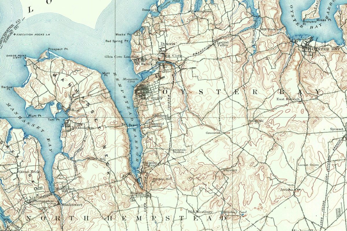
Lakes and maps have an intricate and mesmerizing relationship. Maps are often the gateway to discovering the secrets and wonders hidden within a lake’s depths. A map can reveal the twists and turns of a lake’s shoreline, its depths, and its hidden coves. It can show the location of a lake in relation to the surrounding area, marking the mountains, rivers, and towns that frame it. The colors on a map can hint at the clarity of the water, the vegetation surrounding the lake, and the terrain beneath the surface. A map can also be a reflection of a lake’s history, marking the locations of important battles, settlements, and landmarks.
Lakes and maps are like two sides of a coin, each one revealing a different aspect of the same object. Maps give us a way to understand and navigate the physical world around us, while lakes remind us of the beauty and mystery that lies within it. Together, they invite us to explore, discover, and connect with the natural world in ways that are both tangible and transcendent. Whether we’re gazing at a map or standing at the edge of a lake, we are reminded that the world is a vast and wondrous place, full of mysteries and wonders waiting to be explored.
Learn more about Maps
- Topographical Maps: Representation of the physical features of a region or area.
- Contour Maps: Representation of the contours of the land surface or ocean floor.
- Raised Relief Maps: Representation of land elevations with raised features indicating landforms.
- Terrain Maps: Representation of the physical features of a terrain or landmass.
- USGS Topographic Maps: Representation of topographic features and land elevations based on USGS data.
- USGS Historical Topographic Maps: Representation of historical topographic maps created by the USGS.
- Watershed Maps: Representation of the areas where water flows into a particular river or lake.
- Elevation Maps: Representation of land and water elevations with high precision.
- Physical Maps: Representation of physical features of the Earth’s surface such as landforms, oceans, and plateaus.
- Bathymetric Maps: Representation of the topography and features of the ocean floor.
- NOAA Maps: Representation of atmospheric, oceanographic, and environmental data by NOAA.
- Nautical Maps: Representation of the underwater features and depth of an area for navigation purposes.
- Geologic Maps: Representation of the geologic features of an area such as rock types, faults, and folds.
- Satellite Maps: Representation of earth from high-definition satellite imagery.
Contact us today to learn more about our services and how we can help you achieve your goals.

