Earthquakes, like invisible forces of nature, reverberate across the globe, shaking the very foundations of our understanding of the planet. They follow paths determined by tectonic plates, often appearing as sudden, violent tremors that disrupt the calm of our daily lives. When we look at maps, we see lines and contours, but beneath them lies a dynamic, constantly shifting world where the Earth’s crust cracks and shifts. Seismologists use these maps to track the subtle movements of the planet, plotting fault lines where earthquakes are most likely to occur. These maps become a sort of roadmap of risk, marking the edges where massive tectonic forces collide and grind against one another. With every new earthquake, they are updated, their dots and lines shifting as our understanding of seismic activity evolves. Yet, for all their precision, maps can never fully capture the unpredictable power of earthquakes, nor the chaos they unleash. They show where earthquakes happen, but not how they feel or how they change lives forever. What these maps don’t reveal is the haunting silence before the shaking, the moments of panic as buildings tremble, and the stories of survival that emerge from the rubble. Earthquakes and maps are forever intertwined, telling stories of disaster, resilience, and the ongoing battle between the Earth’s raw power and humanity’s determination to chart its course.
Top 10 Deadliest Earthquakes in History
Top 10 Deadliest Earthquakes in History
WhiteClouds builds 3D Raised Relief Maps
Throughout history, Earth’s unpredictable nature has revealed its immense power through devastating earthquakes. These seismic events have caused catastrophic damage to populations, cities, and entire countries. Some of the deadliest earthquakes in history have left lasting scars on the world’s memory. Below is a list of the top 10 deadliest earthquakes, measured by magnitude, death toll, and the destruction they caused. This list is a witness to the force of nature and the resilience of humanity.
#1: The 1960 Valdivia Earthquake (Magnitude 9.5)
The 1960 Valdivia Earthquake, also known as the Great Chilean Earthquake, is the largest earthquake ever recorded in human history, with a magnitude of 9.5 on the Richter scale. Striking off the coast of southern Chile on May 22, 1960, this monstrous earthquake sent shockwaves across the Pacific, causing devastation not only in Chile but also in areas as far away as Hawaii, Japan, and the Philippines. The earthquake lasted for approximately 10 minutes and was followed by a series of aftershocks, including one measuring 7.9 in magnitude. The death toll is estimated to be around 1,000 to 6,000 people, with some sources claiming up to 2 million people were affected in total.
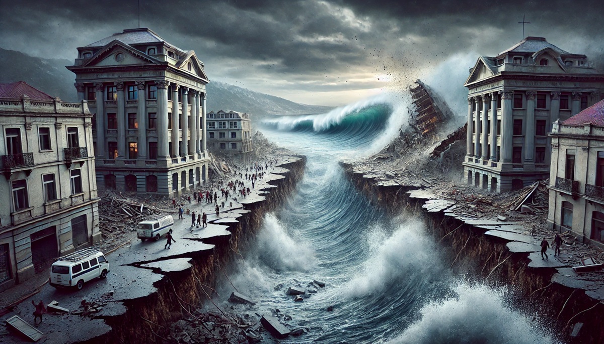
Chile’s southern region, particularly the city of Valdivia, bore the brunt of the disaster, with the ground rupturing and large sections of the landscape sinking into the ocean. A massive tsunami, which was triggered by the quake, slammed into the Chilean coast, causing further destruction and loss of life. In addition to the earthquake’s destruction, the tsunami waves also reached as far as the shores of Japan and the United States, sparking widespread concern. One of the most intriguing facts about this earthquake is the significant geological impact it had. It caused entire coastal areas of Chile to rise or subside by as much as 25 feet. The earthquake reshaped the geography of the region, and its effects are still visible today.
#2: The 2004 Indian Ocean Earthquake (Magnitude 9.1-9.3)
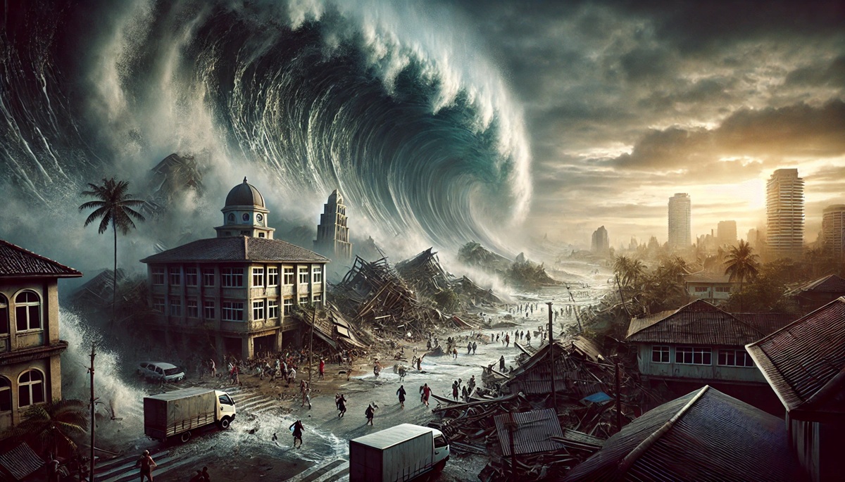
On December 26, 2004, a powerful undersea earthquake struck off the coast of Sumatra, Indonesia, in the Indian Ocean. The earthquake, measuring 9.1 to 9.3 in magnitude, was one of the most devastating in recorded history, with a death toll exceeding 230,000 people in 14 countries. The destruction caused by the quake and the subsequent tsunami remains unparalleled in modern times. The epicenter of the earthquake was located about 160 miles off the coast of Sumatra, and it triggered a series of massive tsunami waves that hit the coasts of Indonesia, Sri Lanka, India, Thailand, and several other nations bordering the Indian Ocean.
In terms of human impact, the 2004 Indian Ocean Earthquake was a global tragedy. Entire communities were wiped out, and millions were left homeless. The tsunami waves reached speeds of up to 500 miles per hour, and waves as high as 100 feet crashed onto coastal cities, catching residents off guard. The event also highlighted the lack of a tsunami warning system in the Indian Ocean region, which made the situation even more catastrophic. The aftermath of the earthquake and tsunami led to one of the largest humanitarian relief efforts ever mounted, with countries from all over the world coming together to provide aid and assistance to the affected regions.
#3: The 1556 Shaanxi Earthquake (Magnitude 8.0)
The 1556 Shaanxi Earthquake, often considered the deadliest earthquake in recorded history, struck the early morning of January 23, 1556, in the northern Chinese province of Shaanxi. The earthquake, with an estimated magnitude of 8.0, killed an estimated 830,000 people, although some reports suggest that the actual number may have been even higher. The earthquake’s epicenter was near the ancient city of Xi’an, which was heavily affected by the tremors. The destruction was not just due to the shaking ground but also because of the collapse of buildings, many of which were constructed from the region’s traditional mud-brick architecture.
One of the most interesting facts about this earthquake is that the region had a long history of seismic activity, and many of the buildings were vulnerable to collapse due to their poor construction. In fact, the region had suffered several significant earthquakes before, but this one was particularly catastrophic due to its size and the fact that the earthquake occurred during a time when many people lived in poorly constructed cave homes. The destruction was so severe that entire villages were buried, and it is estimated that the earthquake caused one of the highest death tolls ever.
#4: The 2011 Tōhoku Earthquake (Magnitude 9.0)
On March 11, 2011, the Tōhoku Earthquake struck off the northeastern coast of Japan. With a magnitude of 9.0, it was one of the most powerful earthquakes to hit Japan, and it triggered a massive tsunami that caused widespread destruction across the country’s coastline. The death toll from the earthquake and the tsunami combined was over 18,000 people, with thousands more injured and displaced. In addition to the massive human toll, the earthquake caused significant damage to infrastructure and buildings, particularly in the city of Sendai, which was devastated by the tsunami.
A particularly tragic aspect of this earthquake was the disaster at the Fukushima Daiichi Nuclear Power Plant. The tsunami caused extensive damage to the plant’s cooling systems, leading to a nuclear crisis that further compounded the devastation. The Tōhoku Earthquake remains one of the most memorable natural disasters of the 21st century, highlighting both the vulnerability of modern infrastructure to natural forces and the resilience of the Japanese people in the face of such catastrophic events.
#5: The 1906 San Francisco Earthquake (Magnitude 7.8)
The 1906 San Francisco Earthquake is one of the most famous and destructive earthquakes in United States history. Striking the California coast on April 18, 1906, the earthquake measured 7.8 in magnitude and caused widespread devastation throughout the San Francisco Bay Area. The earthquake itself caused significant damage to buildings and infrastructure, but the subsequent fires, which broke out across the city, were the true cause of most of the deaths and destruction. The fire raged for several days, fueled by broken gas lines and the destruction of water mains, making it nearly impossible for firefighters to contain.
Over 3,000 people were killed, and around 80% of San Francisco was destroyed. The earthquake also sparked a massive migration of people from the West Coast to other parts of the United States, as people sought to rebuild their lives after losing everything. The 1906 earthquake remains a defining moment in American history, leading to changes in building codes and emergency response practices to better prepare for future seismic events.
#6: The 1923 Great Kanto Earthquake (Magnitude 7.9)
The 1923 Great Kanto Earthquake struck Japan on September 1, 1923, with a magnitude of 7.9, devastating the Kanto region, which includes Tokyo and Yokohama. The earthquake caused an estimated 142,800 deaths, most of which were from fires triggered by the quake. The epicenter was located just off the coast of Honshu, Japan’s main island, and the earthquake was felt throughout the region. In addition to the fires, widespread building collapses and landslides caused significant damage.
One of the most tragic aspects of the Great Kanto Earthquake was the societal panic that led to mass deaths. After the quake struck, rumors spread of Korean residents attacking Japanese citizens, resulting in lynch mobs and chaos. The death toll from the earthquake itself was significant, but these social upheavals compounded the devastation.
#7: The 1908 Messina Earthquake (Magnitude 7.1)
The 1908 Messina Earthquake struck southern Italy on December 28, 1908, with a magnitude of 7.1. The earthquake caused the destruction of the cities of Messina and Reggio Calabria, located on the island of Sicily and the Italian mainland, respectively. The death toll is estimated to be between 60,000 and 100,000 people, making it one of the deadliest earthquakes in European history. The quake was followed by a massive tsunami, which caused further devastation.
The destruction of Messina was so severe that the city was never fully rebuilt in its original form. In fact, much of the infrastructure was replaced, and modern construction techniques were employed to make the city more resilient to future earthquakes.
#8: The 1948 Ashgabat Earthquake (Magnitude 7.3)
The 1948 Ashgabat Earthquake, which struck the city of Ashgabat in Turkmenistan on October 5, 1948, had a magnitude of 7.3 and resulted in over 110,000 deaths. The earthquake caused massive destruction throughout the city, and most of the buildings collapsed. While the exact cause of the earthquake was never determined, it was later attributed to a complex network of faults in the region. The city was rebuilt after the disaster, but many of the casualties were attributed to the inability of emergency services to respond quickly.
#9: The 1944 Quneitra Earthquake (Magnitude 7.5)
The 1944 Quneitra Earthquake struck Syria on January 11, 1944, with a magnitude of 7.5. The earthquake caused extensive damage across Syria and Lebanon and was followed by severe aftershocks. It is estimated that between 1,000 and 10,000 people died due to the event, making it one of the deadliest in the region. Despite the relatively small number of deaths, the earthquake led to massive infrastructural damage.
#10: The 1976 Tangshan Earthquake (Magnitude 7.5)
The Tangshan Earthquake struck China on July 28, 1976, with a magnitude of 7.5. It resulted in a staggering 242,000 deaths, making it one of the deadliest earthquakes of the 20th century. The city of Tangshan, located in northeastern China, was completely destroyed in the event. Many people were killed while they were sleeping, as the earthquake struck in the early morning hours. Despite the massive destruction, China’s swift and effective recovery efforts allowed the city to rebuild in the following years.
These top 10 deadliest earthquakes serve as a somber reminder of the planet’s power and the profound impact seismic activity can have on human life and society. While we have made significant strides in earthquake preparedness, the devastation caused by these events shows how vulnerable we remain to nature’s force. Through history, these disasters have shaped the way we approach building construction, disaster response, and preparedness for future earthquakes.
More Great Top 10’s
Earthquakes and Maps
- Topographical Maps: Representation of the physical features of a region or area.
- Contour Maps: Representation of the contours of the land surface or ocean floor.
- Raised Relief Maps: Representation of land elevations with raised features indicating landforms.
- Terrain Maps: Representation of the physical features of a terrain or landmass.
- USGS Topographic Maps: Representation of topographic features and land elevations based on USGS data.
- USGS Historical Topographic Maps: Representation of historical topographic maps created by the USGS.
- Watershed Maps: Representation of the areas where water flows into a particular river or lake.
- Elevation Maps: Representation of land and water elevations with high precision.
- Physical Maps: Representation of physical features of the Earth’s surface such as landforms, oceans, and plateaus.
- Bathymetric Maps: Representation of the topography and features of the ocean floor.
- NOAA Maps: Representation of atmospheric, oceanographic, and environmental data by NOAA.
- Nautical Maps: Representation of the underwater features and depth of an area for navigation purposes.
- Geologic Maps: Representation of the geologic features of an area such as rock types, faults, and folds.
- Satellite Maps: Representation of earth from high-definition satellite imagery.
Contact us today to learn more about our services and how we can help you achieve your goals.


