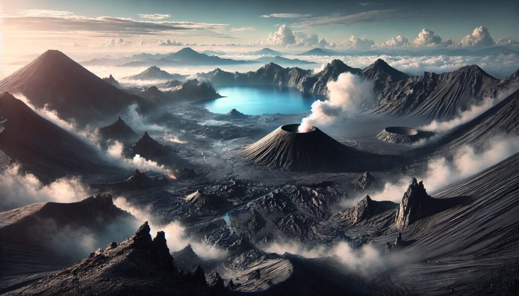
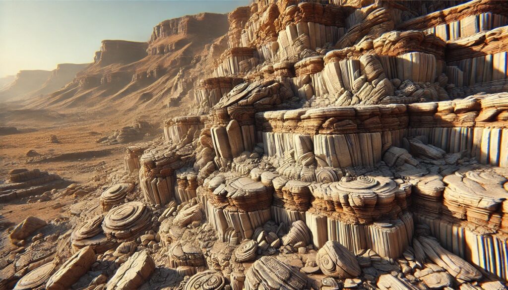
Volcanoes and maps are intertwined in a dance of discovery and danger, with each eruption reshaping the world both physically and metaphorically. For centuries, maps have charted the locations of volcanoes, marking them as points of natural wonder and fear. Each map tells a story of human curiosity, from ancient civilizations mapping the fiery mountains of mythology to modern scientists tracing the subtle movements beneath the Earth’s crust. A volcano on a map is not just a dot or a symbol; it represents the raw, uncontrollable power of nature, a reminder of the forces that lie hidden beneath the surface. The contour lines of these maps, carefully drawn to reflect terrain and elevation, might seem serene at first glance, but they conceal a volatile world that can erupt without warning. Maps also serve as the tools of forecasters and adventurers, helping to predict eruptions or guide climbers to distant summits. But no map can fully capture the unpredictability of a volcano’s fury. Every map is a snapshot in time, an interpretation of a living, breathing world where volcanic activity may suddenly alter the landscape, turning known paths into chaos. In the end, the relationship between volcanoes and maps is a constant balancing act—where science meets the sublime, and the quiet beauty of a map is juxtaposed with the explosive power it seeks to chart.
Top 10 Dormant Volcanoes that Could Erupt
Top 10 Dormant Volcanoes that Could Erupt
WhiteClouds builds 3D Raised Relief Maps
Volcanoes are a force of nature capable of causing immense destruction, and while active volcanoes are closely monitored, dormant ones can also pose a significant threat. Dormant volcanoes are those that have not erupted in a long time, but still have the potential to erupt in the future. These volcanoes may remain inactive for centuries, yet they are far from being safely inactive. Below is a list of the top 10 dormant volcanoes that could erupt, sorted by size.
#1: Mauna Loa (13,681 Feet)
Mauna Loa, located on the Big Island of Hawaii, is the largest volcano on Earth by volume and area. With a height of 13,681 feet above sea level, its base extends all the way to the ocean floor, making it taller than Mount Everest when measured from base to summit. Mauna Loa has erupted 33 times since its first recorded eruption in 1843, with the most recent eruption occurring in 1984. Its eruptions are typically effusive, meaning lava flows steadily rather than violently exploding. However, the sheer size and proximity of Mauna Loa to populated areas make it a major concern. It is believed to be one of the most closely monitored volcanoes, with scientists constantly on the lookout for signs of renewed activity. Mauna Loa is considered sacred in Hawaiian culture, and local legends speak of Pele, the goddess of volcanoes, dwelling within the volcano. The possibility of another eruption is ever-present, making Mauna Loa a volcano to watch closely.
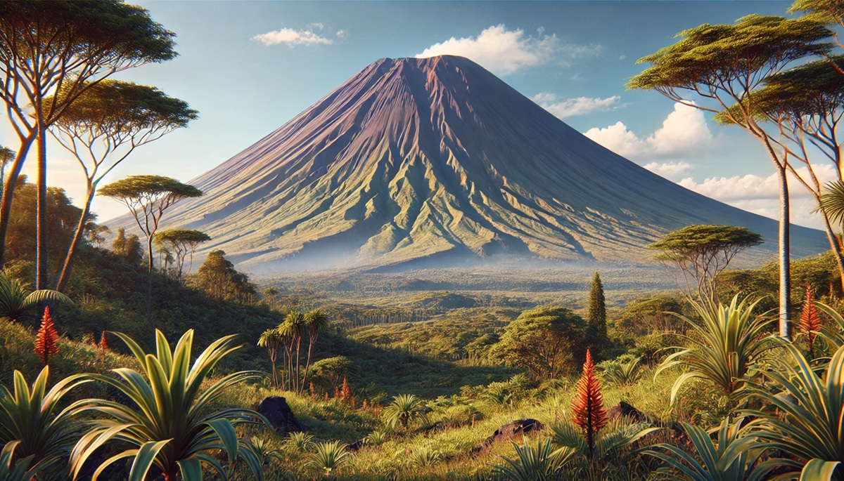
#2: Mount Kilimanjaro (19,341 Feet)
Mount Kilimanjaro, located in Tanzania, is Africa’s highest peak, standing at 19,341 feet. This dormant stratovolcano consists of three cones: Kibo, Mawenzi, and Shira, with Kibo being the tallest. Kilimanjaro is a dormant volcano, with the last eruption occurring roughly 360,000 years ago. However, seismic activity has been recorded in the region, and some scientists believe that there is still a possibility of future eruptions. The volcano’s unique combination of glaciers, snow-capped peaks, and tropical forests makes it a natural wonder. Kilimanjaro is famous not only for its height but also for its environmental significance, as its glaciers have been rapidly retreating in recent years due to climate change. Climbing Kilimanjaro is a popular activity, with thousands of adventurers attempting to reach the summit each year. Stories from the indigenous Chaga people speak of the mountain as a spiritual place, where the volcano is believed to house powerful forces.
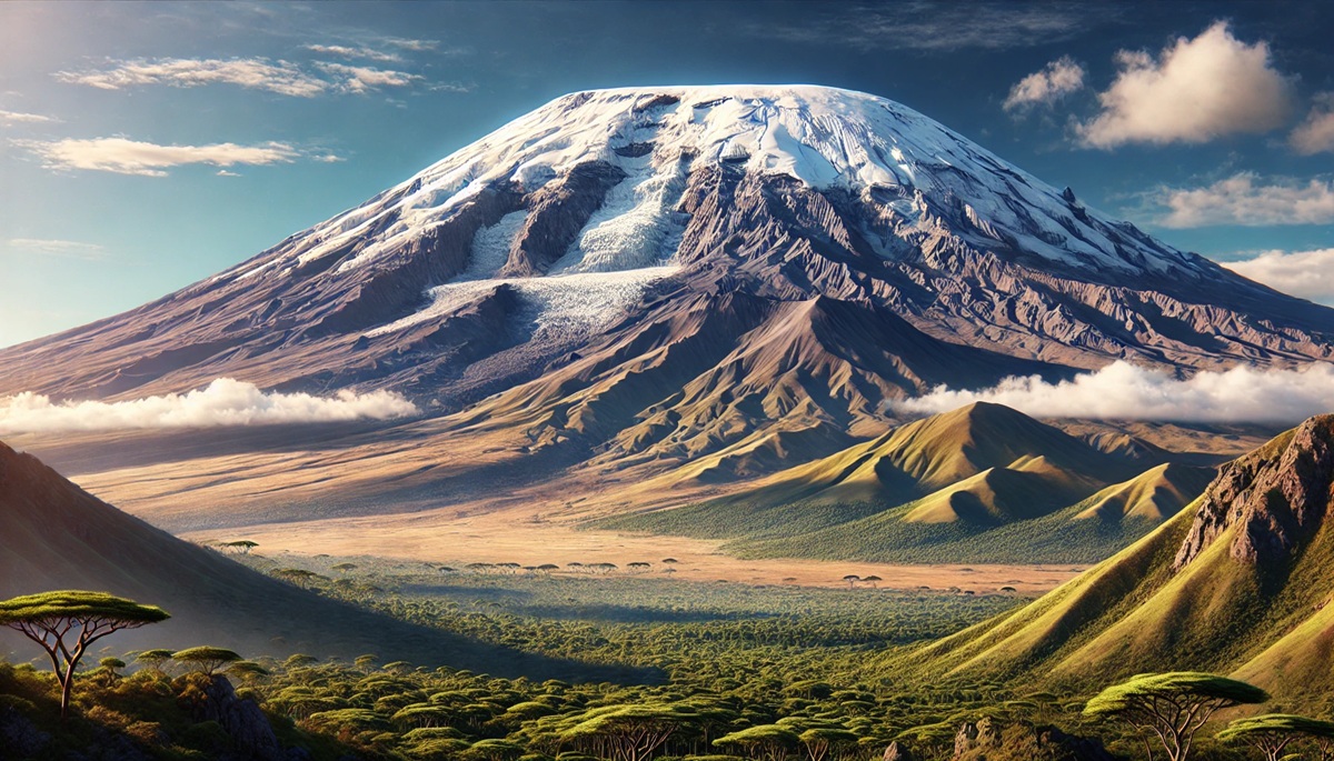
#3: Mount Fuji (12,388 Feet)
Mount Fuji, located on Honshu Island in Japan, is one of the most recognizable volcanoes in the world. Rising 12,388 feet, Mount Fuji is a symbol of Japan, known for its perfectly symmetrical cone shape. The volcano is a popular destination for tourists, climbers, and artists, with countless works of art depicting its beauty. Mount Fuji’s most recent eruption occurred in 1707, during the Edo period, and it is considered dormant today, though it remains a potential threat. Its eruptions are often explosive, and any future eruption could pose a significant hazard to the densely populated Tokyo metropolitan area. Despite being dormant, Mount Fuji is carefully monitored, and scientists are on alert for signs of volcanic activity. In Japanese culture, Mount Fuji is revered as a sacred site, with many seeing it as a representation of spiritual enlightenment. The volcano is the subject of numerous legends and stories, often tied to the goddess of fire, Pele, believed to reside within the mountain.
#4: Mount St. Helens (8,363 Feet)
Mount St. Helens, located in Washington state, USA, is well-known for its catastrophic eruption in 1980, which was one of the most significant volcanic events in U.S. history. Standing at 8,363 feet, Mount St. Helens erupted with such force that it left a large crater and significantly altered the surrounding landscape. The eruption caused massive devastation, including the loss of life and the destruction of thousands of acres of forest. While Mount St. Helens has been dormant since 2008, it is still considered an active volcano, and future eruptions are possible. Mount St. Helens has become a key site for scientific study, as researchers continue to monitor its behavior and the impact of its eruption on the surrounding ecosystem. The aftermath of the eruption has led to the establishment of the Mount St. Helens National Volcanic Monument, where visitors can observe the geological changes that have occurred since the eruption.
#5: Mount Vesuvius (4,203 Feet)
Mount Vesuvius, located in Italy near the city of Naples, is one of the most infamous volcanoes in history. Standing at 4,203 feet, Vesuvius erupted in 79 AD, destroying the Roman cities of Pompeii and Herculaneum, and burying them under a thick layer of volcanic ash. The eruption is one of the deadliest in European history and remains a key point of study for archaeologists and volcanologists alike. While the volcano has not erupted since 1944, it remains an active and potentially dangerous volcano, with millions of people living in its shadow. Due to its proximity to Naples, scientists closely monitor Vesuvius for signs of future eruptions. In addition to its geological significance, Mount Vesuvius has shaped local culture, with numerous myths and stories surrounding the volcano’s power. The preservation of Pompeii and Herculaneum beneath the volcanic ash provides a unique snapshot of ancient Roman life and continues to captivate historians and visitors from around the world.
#6: Mount Etna (10,922 Feet)
Mount Etna, located on the island of Sicily, is Europe’s highest and most active volcano. Rising 10,922 feet, Etna is known for its frequent eruptions, though it has periods of dormancy. It has erupted continuously for thousands of years, with the most recent eruption occurring in 2021. Etna’s eruptions are often explosive and produce large ash clouds, and the lava flows from the volcano can affect nearby towns. The volcano has been an important site for scientific research, as its frequent eruptions offer insight into volcanic activity and the processes that shape the Earth’s surface. Mount Etna is also culturally significant, with local legends associating the volcano with the Greek god Hephaestus, the god of fire. The surrounding region is home to several ancient ruins, which were built in the shadow of Etna’s eruptions. Today, Mount Etna is a popular tourist destination, attracting climbers and adventure seekers.
#7: Mount Rainier (14,410 Feet)
Mount Rainier, located in Washington state, is a majestic stratovolcano that rises 14,410 feet above sea level. Although it has not erupted in over a century, Mount Rainier is considered one of the most dangerous volcanoes in the United States. Its glaciers and snowfields could trigger deadly lahars (mudflows) in the event of an eruption, putting nearby cities at risk. The mountain is a central figure in the Pacific Northwest, and its towering presence is a symbol of the region’s natural beauty. Mount Rainier is a popular hiking and climbing destination, attracting thousands of visitors every year. Scientists closely monitor the volcano for signs of increased activity, and its potential for eruption makes it an area of concern for local authorities. Native American tribes have long held the mountain in reverence, and it continues to be a powerful cultural and spiritual symbol.
#8: Mount Taranaki (8,263 Feet)
Mount Taranaki, located on the west coast of New Zealand’s North Island, is a dormant stratovolcano standing at 8,263 feet. Its symmetrical shape and snow-capped peak make it one of the most picturesque volcanoes in the world. The last eruption of Mount Taranaki occurred around 1850, and while the volcano is considered dormant, it is still an active geological feature that has the potential to erupt again. The region surrounding the volcano is home to lush rainforests, and Mount Taranaki is a popular destination for hikers and climbers. The mountain is culturally significant to the Māori people, who consider it to be a sacred site. Local legends tell of the volcano being a warrior who fought with other mountains, and these stories have been passed down through generations.
#9: Mount Tambora (9,350 Feet)
Mount Tambora, located on the island of Sumbawa in Indonesia, is famous for its massive eruption in 1815, one of the most powerful volcanic events in recorded history. The eruption caused a global temperature drop, leading to what is known as the “Year Without a Summer” in 1816, which caused widespread crop failures and food shortages. Today, Mount Tambora remains dormant, but its potential for future eruptions is still considered significant. Standing at 9,350 feet, it is an impressive and towering presence in the landscape. Scientists closely monitor the region for any signs of activity, as an eruption from Mount Tambora could have far-reaching consequences. The impact of its 1815 eruption continues to be studied by scientists and historians, as it serves as a reminder of the power of volcanoes.
#10: Mount Pelee (4,583 Feet)
Mount Pelee, located on the island of Martinique in the Caribbean, is a dormant stratovolcano that stands at 4,583 feet. Its most infamous eruption occurred in 1902, when the volcano erupted violently, destroying the city of Saint-Pierre and killing nearly 30,000 people. Since that time, Mount Pelee has remained dormant, though it is still considered an active volcano. Its eruption in 1902 is one of the deadliest in the Caribbean, and its history has made it an important subject of study for volcanologists. The volcano is closely monitored, as the potential for another eruption remains a concern. The surrounding region is a popular tourist destination, known for its beautiful landscapes and the ruins of Saint-Pierre, which have become a poignant reminder of the eruption’s destructive power.
These top 10 dormant volcanoes are a reminder of the unpredictable power of nature. While many of them may appear calm and peaceful, they hold the potential for future eruptions that could reshape landscapes and impact millions of lives. With their rich histories, cultural significance, and dramatic landscapes, these volcanoes continue to captivate the imagination and draw the attention of scientists, adventurers, and communities around the world. Monitoring these dormant giants is crucial, as their eruptions could be just a matter of time.
More Great Top 10’s
Volcanoes and Maps
- Topographical Maps: Representation of the physical features of a region or area.
- Contour Maps: Representation of the contours of the land surface or ocean floor.
- Raised Relief Maps: Representation of land elevations with raised features indicating landforms.
- Terrain Maps: Representation of the physical features of a terrain or landmass.
- USGS Topographic Maps: Representation of topographic features and land elevations based on USGS data.
- USGS Historical Topographic Maps: Representation of historical topographic maps created by the USGS.
- Watershed Maps: Representation of the areas where water flows into a particular river or lake.
- Elevation Maps: Representation of land and water elevations with high precision.
- Physical Maps: Representation of physical features of the Earth’s surface such as landforms, oceans, and plateaus.
- Bathymetric Maps: Representation of the topography and features of the ocean floor.
- NOAA Maps: Representation of atmospheric, oceanographic, and environmental data by NOAA.
- Nautical Maps: Representation of the underwater features and depth of an area for navigation purposes.
- Geologic Maps: Representation of the geologic features of an area such as rock types, faults, and folds.
- Satellite Maps: Representation of earth from high-definition satellite imagery.
Contact us today to learn more about our services and how we can help you achieve your goals.


