Fantasy and maps share a deeply intertwined relationship, with maps acting as the very foundation upon which fantastical worlds are built. They are the cartographic portals that invite readers and adventurers to explore lands filled with magic, mystery, and wonder. A well-drawn map in a fantasy setting is more than just a guide; it’s an invitation to embark on a journey, a visual representation of the limitless possibilities that lie beyond the horizon. From the snow-capped mountains of Middle-Earth to the sun-drenched deserts of Dorne, each map reveals not only the geography of a fictional world but also hints at the cultures, histories, and conflicts that define it. The act of mapping these imagined realms is akin to giving life to them—creating the pathways, borders, and landmarks that serve as the backdrop for epic stories. For readers and gamers, these maps become much more than mere illustrations; they become living, breathing entities, filled with intrigue and adventure. The physicality of a map in a fantasy novel or game fosters a sense of ownership and immersion, making every journey feel like a personal quest, whether it’s navigating the treacherous roads of Westeros or sailing the seas of the Discworld. Maps in fantasy invite us to lose ourselves in their contours, helping us visualize a world as rich and real as our own. They serve as a canvas for the imagination, turning a mere idea into a vivid, tangible landscape to explore, conquer, and protect.
Top 10 Fantasy Maps
Top 10 Fantasy Maps
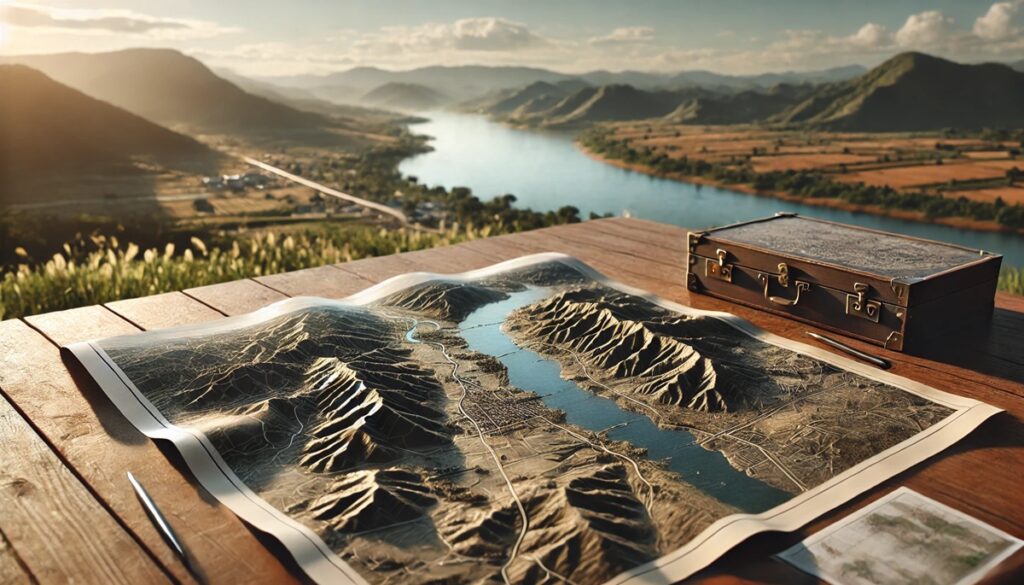
WhiteClouds builds 3D Raised Relief Maps
Fantasy maps have long captured the imagination of readers, gamers, and adventurers alike, acting as visual gateways to the fantastical worlds that fill books, games, and films. These maps represent rich, magical realms where strange creatures roam, kingdoms rise and fall, and epic quests unfold. From the highly detailed maps of J.R.R. Tolkien’s Middle-Earth to the world of Westeros in Game of Thrones, fantasy maps are not just tools for navigation, but are storytelling devices, each line and feature imbued with history and mystery. The following list ranks the top 10 fantasy maps by size, showcasing their significance, uniqueness, and the magical worlds they represent.
#1: Middle-Earth Map, 4,000,000 Square Miles
The Middle-Earth map, created by J.R.R. Tolkien, is one of the most iconic and influential fantasy maps ever created. Measuring around 4,000,000 square miles, it showcases the world of The Lord of the Rings, The Hobbit, and The Silmarillion. This map covers a vast expanse, from the Shire in the west to the dark lands of Mordor in the east, with iconic locations like Rivendell, Lothlórien, and Gondor scattered throughout. The Middle-Earth map is not just a representation of Tolkien’s imagined world, but a deeply symbolic and strategic element in his stories. Tolkien meticulously detailed every location, placing cities, forests, rivers, and mountain ranges in ways that shaped the plot and characters of his works. An interesting fact about this map is that Tolkien, a philologist by profession, used linguistic cues to create the names and layouts of his regions, providing a sense of realism to his world. An anecdotal story from the map’s history is that Tolkien himself hand-drew many of the early versions of the map, including the famous map of the journey in The Hobbit, which added a personal touch to the world-building process. The map has since been reproduced countless times and remains a symbol of epic fantasy.
#2: Westeros Map, 1,000,000 Square Miles
The map of Westeros, from George R.R. Martin’s A Song of Ice and Fire series (and the Game of Thrones TV show), spans 1,000,000 square miles and is a complex landscape full of political intrigue, diverse cultures, and intricate geography. The map includes the Seven Kingdoms, from the icy north to the warm southern lands, with iconic locations like Winterfell, King’s Landing, and the Iron Islands. Westeros is known for its deep, political landscapes, with the map reflecting a world divided by geography and power struggles. The map is intricately detailed, showing everything from mountain ranges and rivers to the shifting borders of territories during the conflict for the Iron Throne. One interesting fact about the Westeros map is how it was designed to reflect the history and culture of each region. For example, the north is colder and harsher, while the south is fertile and warm, mirroring the stark contrasts between the ruling houses. A fun anecdote surrounding the map involves the fan theories about the unexplored lands beyond Westeros, such as the mysterious continent of Asshai, which has led to widespread speculation about the hidden mysteries of Martin’s world. The Westeros map is an essential piece of the puzzle for fans of the series, helping them navigate the world of shifting alliances and long-running rivalries.
#3: Narnia Map, 100,000 Square Miles
The map of Narnia, from C.S. Lewis’s Chronicles of Narnia series, spans around 100,000 square miles and showcases the magical world where talking animals, mythical creatures, and epic adventures await. The map highlights significant locations, such as Cair Paravel, Aslan’s How, and the Stone Table. Narnia is a land where the rules of nature and magic are intertwined, and the map reflects the vastness and diversity of the realm, from the frozen wilderness of the White Witch’s domain to the lush, vibrant forests of the Narnian countryside. An interesting fact about the Narnia map is that it was influenced by Lewis’s love of mythology and classical history, with many regions in Narnia named after historical or mythical places. For example, the name Cair Paravel is derived from the Cair Paravel of ancient Ireland. One anecdotal story about the map is how Lewis, much like Tolkien, used the geography of his world to shape his stories. The land itself influences the characters and plots that unfold. Over the years, the Narnia map has become a staple for fans of the series, symbolizing the freedom, magic, and wonder of Narnia.
#4: Tamriel Map (Skyrim), 30,000 Square Miles
Tamriel, the setting for The Elder Scrolls series, including Skyrim, spans around 30,000 square miles, offering players a vast, open world filled with adventure, exploration, and quests. The map includes several distinct provinces, from the icy expanse of Skyrim to the desert lands of Elsweyr. Each region has its own unique culture, environment, and history, and the map showcases these with incredible detail. The land is divided by mountains, rivers, forests, and cities, each full of lore and mystery. The map’s history is tied to the game’s immersive world-building, where every location feels real and lived-in. One interesting fact about the Tamriel map is that, while it spans a massive area, many of the game’s regions have been meticulously crafted to feel like they are part of a coherent, living world. Anecdotal stories from players often focus on the memorable first experiences of traveling from the snowy peaks of Skyrim to the bustling streets of Cyrodiil, reflecting the map’s ability to offer diverse experiences. Tamriel’s map has become synonymous with The Elder Scrolls series, and its expansive design continues to be a defining characteristic of the game.
#5: Middle-Earth Map (Hobbit), 20,000 Square Miles
A smaller but equally iconic map is the one found in The Hobbit, detailing the journey of Bilbo Baggins from the Shire to the Lonely Mountain. The map spans roughly 20,000 square miles, charting the landscape that Bilbo must traverse, including the Misty Mountains, the dense forests, and the vast plains. While it is not as expansive as the map of The Lord of the Rings, it is just as important in establishing the setting for one of the most beloved adventures in fantasy literature. One of the most interesting facts about the Hobbit map is how it ties closely to the narrative, with places like Rivendell, Mirkwood, and the Lonely Mountain becoming symbols of Bilbo’s journey and growth. Anecdotal stories from readers often highlight the first time they discovered the map in their edition of The Hobbit, which added a sense of wonder and depth to the world of Middle-Earth. This map has been reproduced in numerous editions of The Hobbit and remains an integral part of the story.
#6: The World of Prydain, 10,000 Square Miles
The map of Prydain, from Lloyd Alexander’s The Chronicles of Prydain, spans approximately 10,000 square miles and represents a land steeped in myth and magic. The map covers several distinct regions, including the Kingdom of Prydain, the land of Annuvin, and the enchanted forests. The landscape is filled with ancient ruins, castles, and forests, with each location holding deep significance to the story’s characters. The map is essential for understanding the geography of the land, as the characters travel through dangerous and enchanted territories. One interesting aspect of the Prydain map is how it reflects the culture and mythology of Welsh folklore, with the names and locations drawing inspiration from real-world mythological stories. Anecdotal stories often recall the adventures of Taran, the Assistant Pig-Keeper, and his journey through Prydain, with the map providing context and grounding for his quests.
#7: The World of Earthsea, 7,000 Square Miles
The map of Earthsea, from Ursula K. Le Guin’s Earthsea series, spans about 7,000 square miles and represents a world made up of scattered islands, vast oceans, and mysterious lands. The map showcases the intricate connections between the islands and the various cultures and peoples who inhabit them. The world of Earthsea is rich in magic, with wizards, dragons, and mystical creatures. An interesting fact about the map is how it reflects the themes of balance and interconnectedness that Le Guin explores in her novels. The map is not just a tool for navigation but also an important symbol of the book’s themes, showing how the islands are linked by both geography and magic. One anecdotal story often shared by fans of the series is how the map helps to visualize the vast distances and relationships between the islands, making the world of Earthsea feel expansive yet intimately connected.
#8: The Forgotten Realms, 5,000 Square Miles
The map of the Forgotten Realms, one of the most famous settings in Dungeons & Dragons, spans about 5,000 square miles and covers a wide variety of regions, from the frozen north to the tropical south. The map is filled with cities, kingdoms, forests, and dungeons, each offering a unique setting for adventures. The Forgotten Realms map has become an iconic part of the Dungeons & Dragons franchise, with countless campaigns and stories taking place in its world. An interesting fact about the map is how it has evolved over time, with new regions and updates being added as the world grows. The Forgotten Realms map has influenced countless tabletop campaigns and video games, making it one of the most recognizable fantasy maps in gaming.
#9: The Discworld Map, 2,500 Square Miles
The Discworld map, based on Terry Pratchett’s satirical fantasy series, spans 2,500 square miles and represents a world in the shape of a flat disc, supported by four giant elephants standing on the back of Great A’Tuin, the cosmic turtle. The map features cities like Ankh-Morpork and the Ramtops Mountains, as well as the magical and absurd environments that Pratchett’s world is known for. The map is a perfect reflection of the quirky, humorous nature of the series, blending traditional fantasy elements with Pratchett’s unique brand of satire. One interesting fact about the Discworld map is how it mirrors the themes of the books, where magic and the absurd coexist in a world that defies traditional fantasy conventions. Fans of the series often recall the first time they explored the map, recognizing the whimsical charm of Pratchett’s world.
#10: The Land of Oz, 1,000 Square Miles
The map of the Land of Oz, created by L. Frank Baum for The Wonderful Wizard of Oz, spans around 1,000 square miles and is home to the colorful and imaginative world of Oz. The map includes regions like the Emerald City, the Munchkinland, and the Wicked Witch’s Castle. Oz is a land where magic and fantasy reign, and the map plays a key role in establishing the sense of wonder and adventure in Baum’s story. One fascinating fact is that Baum’s creation of Oz was influenced by his own experiences and imaginative ideas, with each part of the land representing different aspects of his own creative world. The map of Oz is beloved for its whimsical design, and it continues to captivate readers with its playful representation of a world where anything is possible.
Fantasy maps are the very foundation of many beloved worlds. They provide the context, boundaries, and imagination that shape the stories we know and love. From the detailed landscapes of Middle-Earth to the whimsical lands of Oz, these maps serve as visual extensions of the adventures, politics, and mysteries within their pages. Whether guiding characters through epic quests or offering fans a way to immerse themselves in their favorite universes, these fantasy maps are crucial in creating the immersive worlds that continue to inspire us.


