Top 10 Geography Facts
Top 10 Geography Facts
WhiteClouds builds 3D Raised Relief Maps
Geography is the study of Earth’s landscapes, environments, and the intricate relationships between people and their surroundings. This field provides us with insights into the planet’s diverse features, from its towering mountains to its vast oceans, and even its unusual quirks. Geography not only informs our understanding of the physical world but also connects us to the stories of cultures, civilizations, and nature’s raw power. Here are the top 10 most fascinating geography facts, ranked by their significance and scale.
#1: Pacific Ocean – 64 Million Square Miles
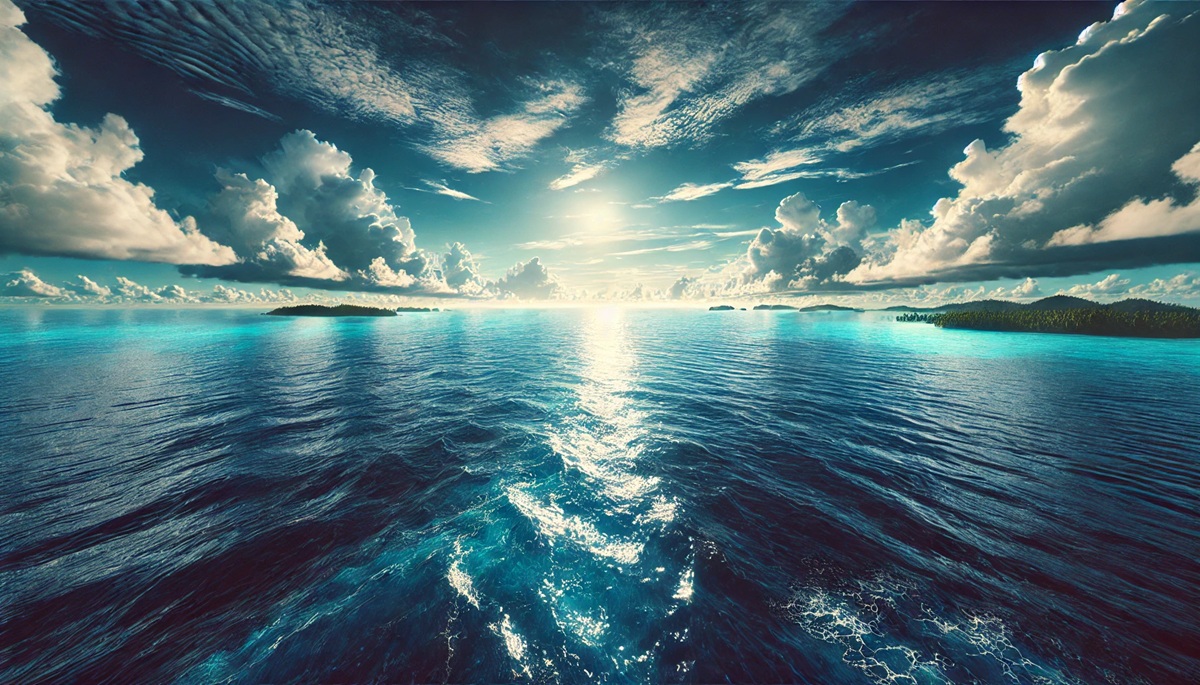
The Pacific Ocean is the largest and deepest ocean on Earth, covering an astounding 64 million square miles and stretching from the Arctic Ocean in the north to Antarctica in the south. It occupies about one-third of the planet’s surface and is home to the Mariana Trench, the deepest part of the world’s oceans. The Pacific’s vastness supports an incredible range of ecosystems, from coral reefs to open water habitats teeming with marine life. Early Polynesian navigators expertly sailed across its waters long before modern cartography, relying on the stars and ocean currents to guide them. The Pacific has been a critical route for trade, exploration, and cultural exchange throughout human history, with iconic tales like Magellan’s circumnavigation cementing its place in global lore.
#2: Russia – 6.6 Million Square Miles
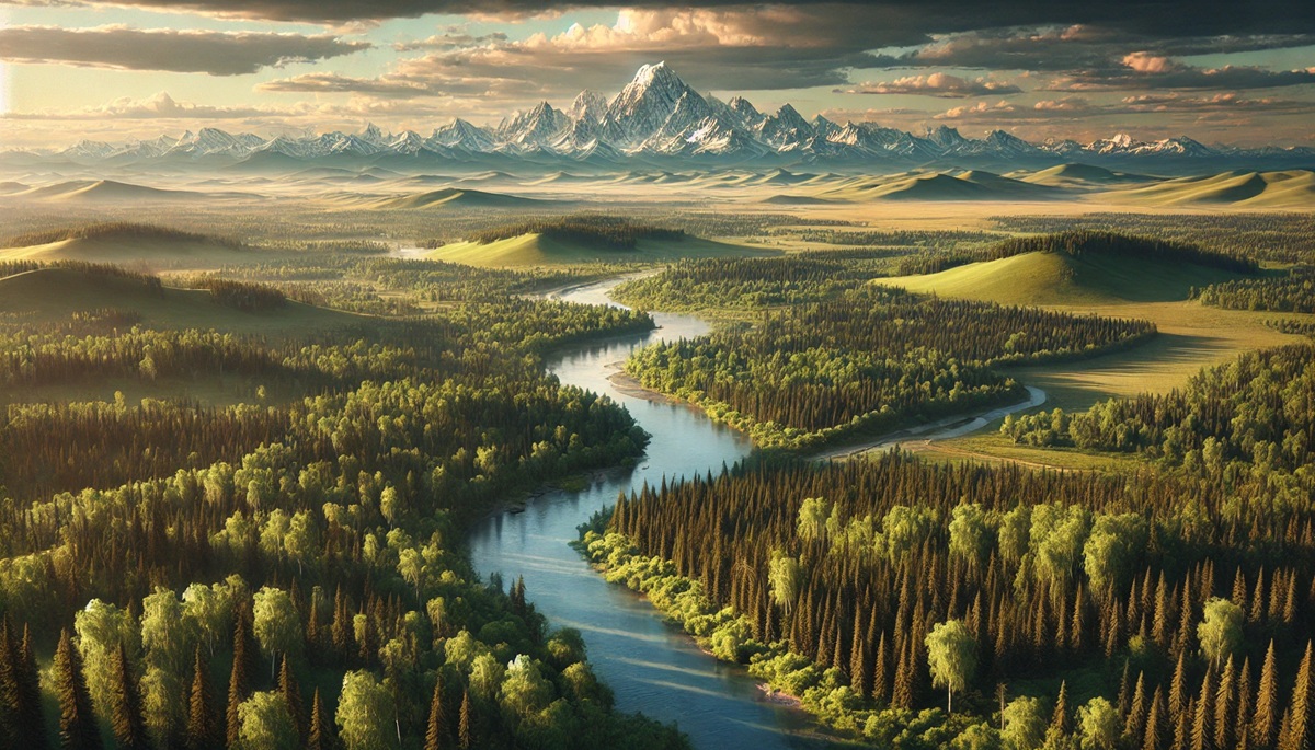
Russia is the largest country in the world, spanning 6.6 million square miles across Europe and Asia. This transcontinental nation encompasses a vast array of climates and landscapes, including tundras, forests, mountains, and steppes. Russia is so large that it spans 11 time zones, making it the only country where you can experience nearly half of the world’s hours in one day. The Siberian wilderness is home to unique wildlife like the Siberian tiger and is one of the least explored regions on Earth. The nation’s history as a political and cultural powerhouse is intertwined with its geography, from the formation of the Russian Empire to its strategic role during World War II and the Cold War.
#3: Mount Everest – 29,032 Feet
Mount Everest, located in the Himalayan range on the border of Nepal and Tibet, is the tallest mountain on Earth at 29,032 feet above sea level. This iconic peak has captured the imagination of explorers, climbers, and adventurers for centuries. The summit was first reached by Sir Edmund Hillary and Tenzing Norgay in 1953, marking a milestone in human achievement. Everest is a cultural and spiritual symbol for the Sherpa people, who revere the mountain as “Chomolungma,” or “Goddess Mother of the World.” While its towering presence inspires awe, Everest also poses significant challenges, with extreme weather and high altitudes making it a formidable climb.
#4: Amazon River – 4,345 Miles
The Amazon River is the longest river in South America and possibly the world, stretching 4,345 miles across the continent. It flows through the Amazon Rainforest, one of the most biodiverse regions on Earth, which houses over 10% of the planet’s known species. The river’s sheer volume surpasses that of the next seven largest rivers combined. Indigenous communities have relied on the Amazon for sustenance, transportation, and cultural traditions for thousands of years. Exploration of the river began with Spanish conquistadors like Francisco de Orellana, who was the first European to navigate its length in 1542.
#5: Sahara Desert – 3.6 Million Square Miles
The Sahara Desert is the largest hot desert on Earth, covering 3.6 million square miles across North Africa. Its vast dunes, rocky plateaus, and scorching temperatures define its arid landscape. Despite its harsh conditions, the Sahara supports a surprising range of life, including camels, scorpions, and nomadic tribes like the Tuareg. The desert’s history includes ancient trade routes, such as the trans-Saharan caravans that connected West Africa to Mediterranean civilizations. The Sahara’s role in shaping African culture and history remains significant today.
#6: Antarctica – 5.4 Million Square Miles
Antarctica, the southernmost continent, is the coldest, driest, and windiest place on Earth, spanning 5.4 million square miles. Covered almost entirely in ice, it contains about 70% of the planet’s freshwater. The continent has no permanent residents, but it hosts researchers from around the globe who study its unique climate and ecosystems. Stories of early explorers like Ernest Shackleton highlight the challenges of navigating this frozen wilderness. Antarctica’s significance in regulating global climate and sea levels makes it a critical focus for environmental science.
#7: Lake Baikal – 12,248 Square Miles
Lake Baikal in Siberia is the world’s deepest and oldest freshwater lake, containing about 20% of the planet’s unfrozen freshwater. It reaches depths of over 5,300 feet and is home to thousands of unique species, including the Baikal seal, the only freshwater seal in the world. Recognized as a UNESCO World Heritage Site, Baikal has been a source of inspiration for Russian folklore and literature. The lake is a vital resource for nearby communities and a symbol of Siberian natural beauty.
#8: Grand Canyon – 277 Miles Long
The Grand Canyon, carved by the Colorado River in Arizona, is one of the most spectacular natural wonders in the world. Spanning 277 miles in length and over a mile deep, it reveals nearly two billion years of geological history in its towering cliffs. The canyon has been a sacred site for Native American tribes for centuries, including the Havasupai and Hopi peoples. Today, it attracts millions of visitors annually, offering breathtaking views and opportunities for outdoor adventures.
#9: Great Barrier Reef – 1,429 Miles
The Great Barrier Reef off the coast of Queensland, Australia, is the largest coral reef system on Earth, stretching 1,429 miles. It is composed of over 2,900 individual reefs and supports an astonishing diversity of marine life. The reef is a UNESCO World Heritage Site and a vital component of Australia’s tourism industry. However, rising sea temperatures and pollution pose significant threats to its health, making conservation efforts crucial for its survival.
#10: Nile River Delta – 150 Miles Wide
The Nile River Delta is one of the most fertile regions in the world, covering 150 miles of northern Egypt. This delta has been a cradle of civilization for thousands of years, supporting the rise of ancient Egypt. The rich silt deposited by the Nile has sustained agriculture and human settlements throughout history. The delta remains a hub of biodiversity and cultural heritage, even as it faces challenges from urbanization and climate change.
Geography reveals the beauty and complexity of our planet, from the vast oceans and towering mountains to unique ecosystems and ancient landmarks. These top 10 geography facts showcase the incredible diversity of Earth’s features, reminding us of the need to explore, understand, and protect the natural world. Each fact carries a story of discovery, resilience, and wonder, enriching our appreciation for the world we call home.


