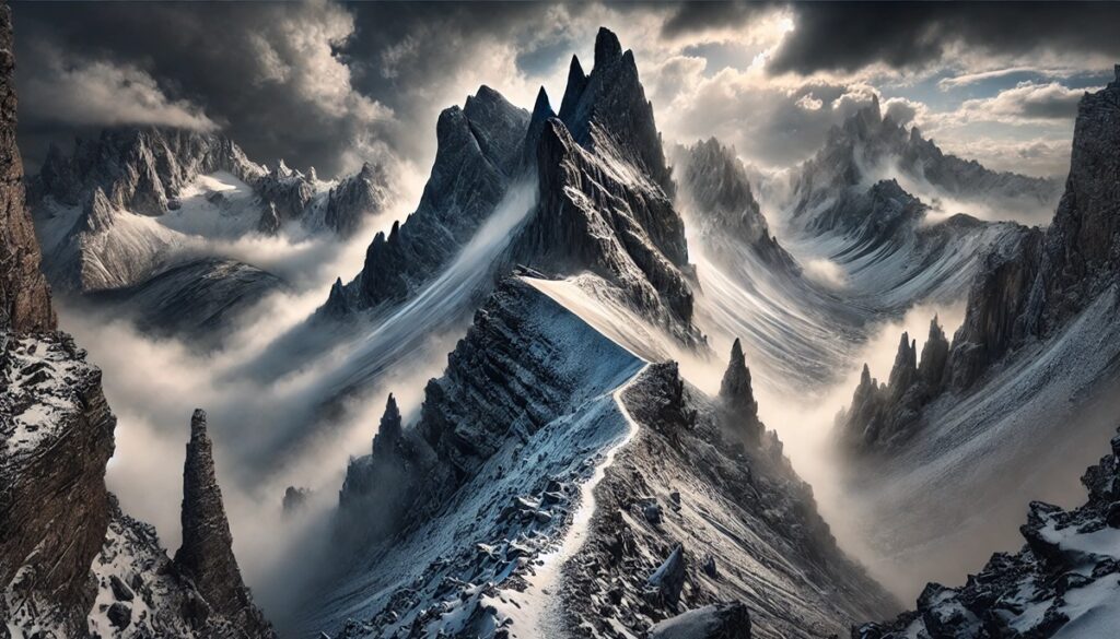
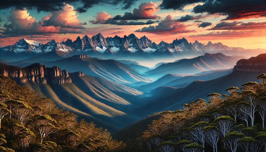
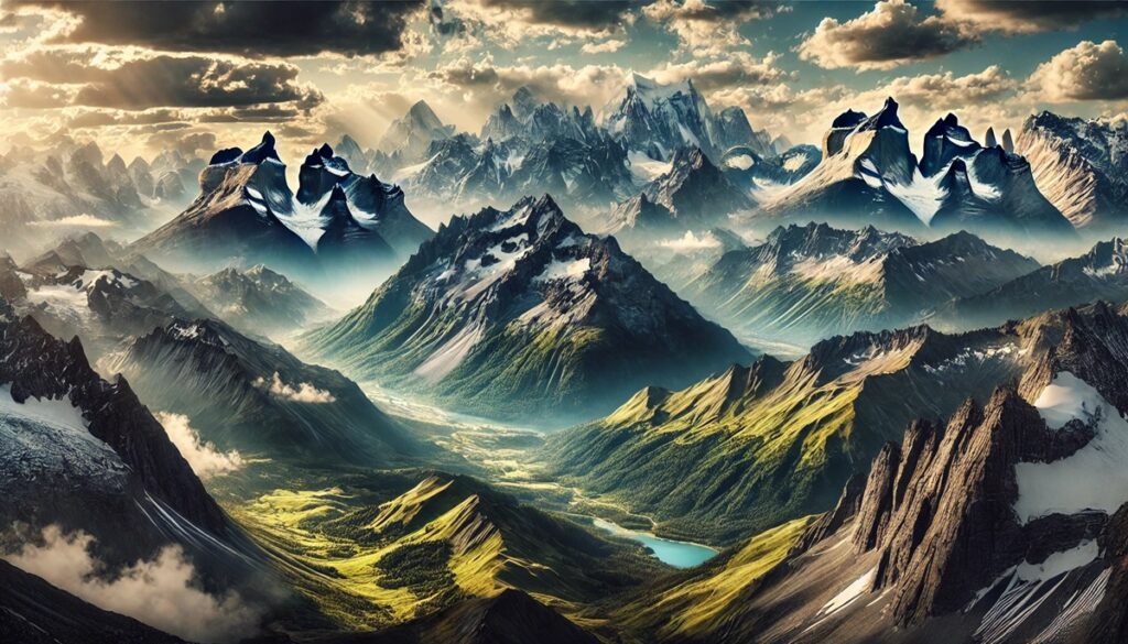
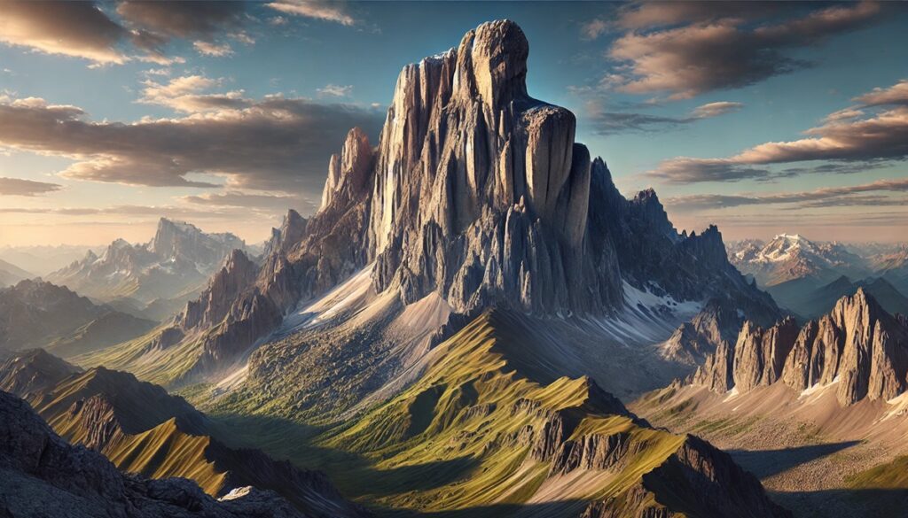
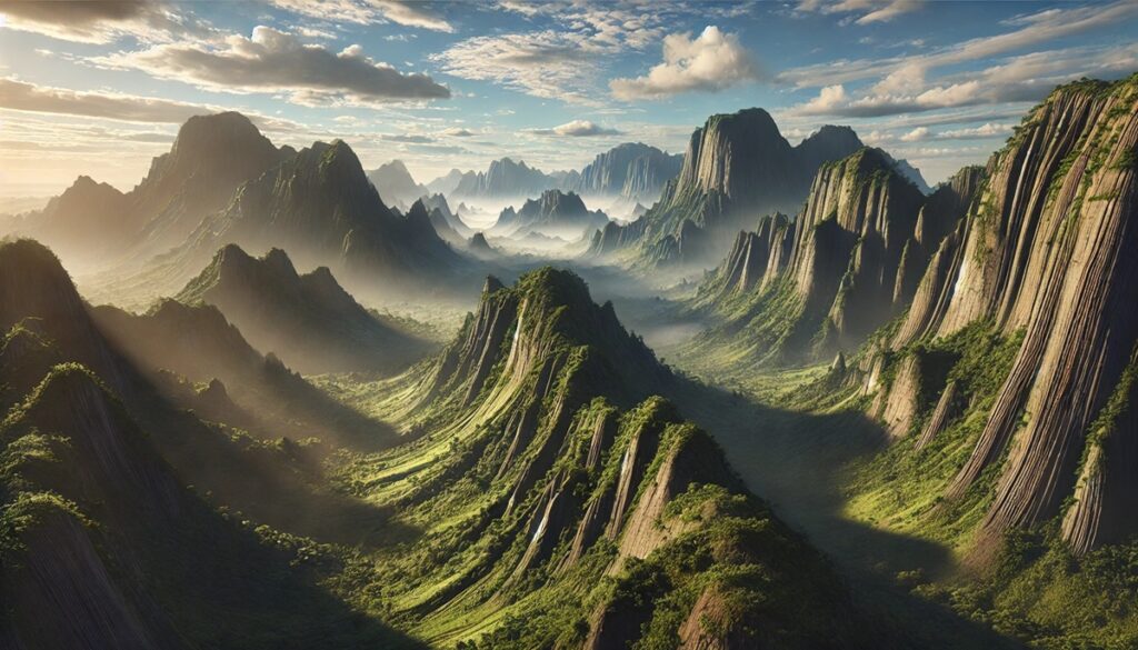
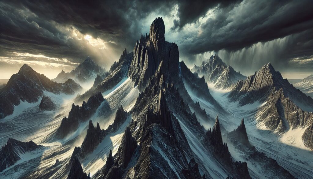
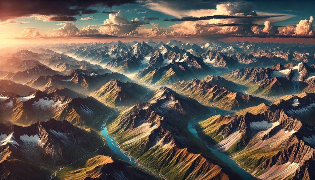
Geological wonders are the Earth’s masterpieces, etched into its surface like vibrant brushstrokes on an ancient canvas. Maps, those timeless storytellers, transform these marvels into tales of exploration and discovery. From the intricate folds of the Himalayas to the fiery veins of Iceland’s volcanic terrain, maps chart not just landmasses but the incredible forces that shaped them. They guide adventurers to the jagged cliffs of Patagonia, the shimmering dunes of the Sahara, and the underwater depths of the Mariana Trench, inviting us to trace the footsteps of shifting tectonic plates and erupting volcanoes. Maps hold the power to ignite our imagination, transforming mere lines and colors into visions of towering peaks, sprawling valleys, and labyrinthine caves. They remind us that the Earth’s surface is alive, continuously sculpted by time, wind, water, and fire. With every contour and coordinate, maps bridge the gap between the tangible and the mysterious, urging us to explore, protect, and marvel at these geological wonders that tell the story of our planet’s soul.
Top 10 Geologic Sites in the World
Top 10 Geologic Sites in the World
WhiteClouds builds 3D Raised Relief Maps
Exploring the Earth’s most fascinating geologic wonders is akin to traveling through time. Each site tells a story of the planet’s evolution, showcasing its awe-inspiring power, creativity, and resilience. From ancient rock formations to active volcanic landscapes, these destinations offer a glimpse into the dynamic forces that have shaped our world. Here are the top ten geologic sites in the world, ranked by size and significance.
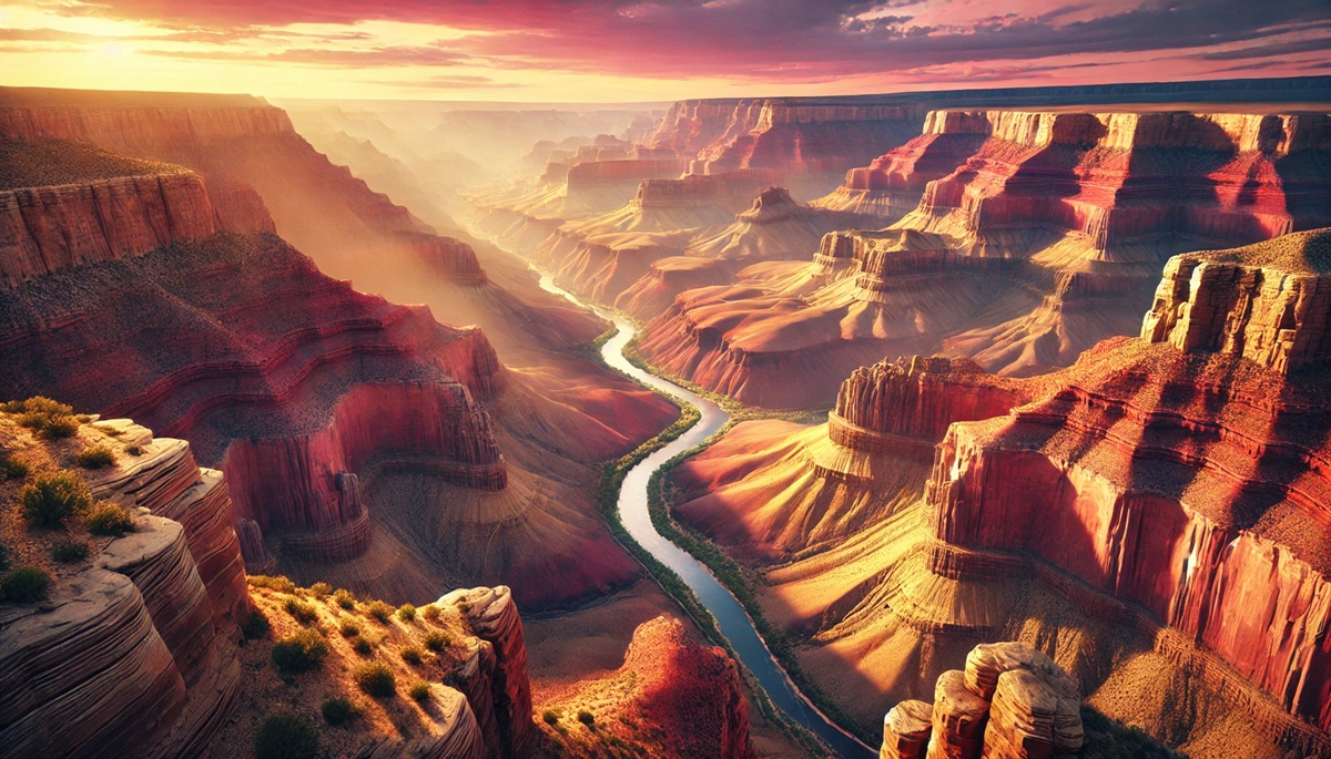
#1: Grand Canyon, Arizona, USA – 277 Miles Long
The Grand Canyon is a colossal natural masterpiece, stretching an impressive 277 miles in length, up to 18 miles wide, and descending over a mile deep. This iconic landmark showcases nearly two billion years of Earth’s geological history, carved over millennia by the Colorado River. Its vibrant hues and stratified layers are a visual timeline of different rock formations, from the ancient Vishnu Schist to the Kaibab Limestone. Visitors often marvel at the canyon’s dynamic interplay of light and shadow, which changes throughout the day. Legend has it that early Native American tribes revered the Grand Canyon as a spiritual place, considering it a gateway to the afterlife. Today, it continues to inspire millions of visitors who hike its rugged trails or raft along the mighty Colorado River, making it a pinnacle of natural beauty and adventure.
#2: Great Barrier Reef, Australia – 1,429 Miles Long
Though primarily underwater, the Great Barrier Reef is a geologic marvel composed of living coral structures and ancient limestone deposits. Spanning over 1,429 miles along Australia’s northeast coast, it is the largest coral reef system on the planet. Formed over 20 million years, this natural wonder is home to thousands of species of marine life. The reef’s vibrant coral polyps have adapted to thrive in a delicate balance with the ocean’s currents and temperature. Anecdotes of early explorers describe the reef as a treacherous labyrinth for ships, with Captain Cook’s Endeavour famously running aground in 1770. Today, conservationists are fiercely dedicated to preserving this fragile ecosystem, which is threatened by climate change and coral bleaching.

#3: Himalayas, Asia – Mount Everest Peak at 29,032 Feet
The Himalayas, crowned by Mount Everest, are the highest mountain range on Earth and a prime example of tectonic forces at work. Stretching over 1,500 miles and rising dramatically, this region was formed by the collision of the Indian and Eurasian tectonic plates around 50 million years ago. Everest’s imposing height of 29,032 feet has long captured the human imagination. The Sherpa people, who have lived here for centuries, share captivating tales of the sacred nature of the peaks. Climbing Everest has become a symbol of human endurance, yet the mountain also serves as a reminder of the power of nature, with extreme weather and avalanches often proving deadly.
#4: Mariana Trench, Pacific Ocean – 1,580 Miles Long
The Mariana Trench, located in the western Pacific, is the deepest oceanic trench on Earth, plunging nearly 36,000 feet at its Challenger Deep. This geological phenomenon is the result of subduction, where the Pacific plate is forced beneath the smaller Mariana plate. The trench’s near-total darkness and crushing pressures have made it a final frontier for exploration, yet life thrives here in unique forms. Anecdotal accounts from deep-sea dives often describe the eerie, otherworldly atmosphere of this underwater abyss. The Mariana Trench is a constant reminder of Earth’s hidden depths and the mysteries yet to be uncovered.
#5: Amazon Basin, South America – 2.7 Million Square Miles
Spanning over 2.7 million square miles, the Amazon Basin is a geological marvel characterized by its vast floodplains, river systems, and dense rainforest. Its origins trace back to the Cretaceous period, when tectonic shifts created the basin. The Amazon River itself, the world’s largest by discharge, plays a key role in shaping the region’s landscape. Indigenous communities have lived in harmony with the land for millennia, passing down oral histories that speak to the basin’s significance. Today, the Amazon faces significant threats from deforestation, making its preservation more critical than ever.
#6: Yellowstone National Park, USA – 3,472 Square Miles
Yellowstone, the world’s first national park, covers 3,472 square miles of breathtaking landscapes. Known for its geothermal features, including the iconic Old Faithful geyser, Yellowstone sits atop a massive supervolcano. The park’s hot springs, mud pots, and fumaroles showcase the Earth’s volcanic activity beneath its surface. Yellowstone is also a hub for wildlife, with its pristine ecosystems supporting species like bison, wolves, and grizzly bears. Anecdotal tales of early explorers marveling at the park’s “boiling rivers” illustrate its long-standing allure as a natural wonder.
#7: Mount Kilimanjaro, Tanzania – 19,341 Feet
Mount Kilimanjaro, Africa’s highest peak, rises to 19,341 feet above sea level. This stratovolcano is composed of three distinct cones, with its snow-capped summit contrasting sharply against the surrounding savannah. Kilimanjaro’s glaciers are rapidly retreating, serving as a stark indicator of climate change. Stories of the mountain’s spiritual significance abound, with local Chagga legends describing it as the “House of God.” Climbers from around the globe attempt to summit Kilimanjaro each year, drawn by its unique landscapes and sense of adventure.
#8: Antarctica’s Dry Valleys – 4,800 Square Miles
The McMurdo Dry Valleys of Antarctica are a stark, frozen expanse that offers a glimpse into a Mars-like environment. Covering 4,800 square miles, these valleys are one of the driest places on Earth, with no rainfall for over two million years. The lack of moisture preserves ancient geological features and microorganisms, making it a focal point for astrobiological studies. Anecdotal stories from researchers often highlight the extreme isolation and haunting silence of the valleys, offering a stark beauty that is both desolate and profound.
#9: Uluru, Australia – 1,142 Feet Tall
Uluru, also known as Ayers Rock, is a sandstone monolith rising 1,142 feet from the surrounding desert. This sacred site for the Anangu people is estimated to be over 500 million years old. Uluru’s surface changes colors dramatically throughout the day, glowing red at sunrise and sunset. Indigenous stories passed down for generations describe its formation and spiritual significance, connecting it deeply to the land’s cultural heritage. Visitors to Uluru often describe a sense of awe at its monumental presence and the serenity of its surroundings.
#10: Giant’s Causeway, Northern Ireland – 40,000 Basalt Columns
The Giant’s Causeway, a UNESCO World Heritage site, is a geologic wonder featuring 40,000 interlocking basalt columns formed by volcanic activity 50-60 million years ago. Local legends attribute its creation to the mythical giant Finn McCool, who built the causeway to confront a rival. The columns, some rising over 39 feet, form natural stepping stones leading into the sea. Visitors marvel at the intricate geometry of the formation, which appears almost man-made, and enjoy walking along its rugged coastline.
Each of these geologic wonders showcases the power and beauty of Earth’s natural processes. From the depths of the Mariana Trench to the heights of Mount Everest, these sites inspire awe, curiosity, and a profound respect for our planet’s history. They serve as reminders of the delicate balance between natural wonder and the responsibility to protect these treasures for future generations. Exploring them is not just an adventure—it’s a journey through the Earth’s story, written in rock, water, and time.
More Great Top 10’s
Geological Sites and Maps
- Topographical Maps: Representation of the physical features of a region or area.
- Contour Maps: Representation of the contours of the land surface or ocean floor.
- Raised Relief Maps: Representation of land elevations with raised features indicating landforms.
- Terrain Maps: Representation of the physical features of a terrain or landmass.
- USGS Topographic Maps: Representation of topographic features and land elevations based on USGS data.
- USGS Historical Topographic Maps: Representation of historical topographic maps created by the USGS.
- Watershed Maps: Representation of the areas where water flows into a particular river or lake.
- Elevation Maps: Representation of land and water elevations with high precision.
- Physical Maps: Representation of physical features of the Earth’s surface such as landforms, oceans, and plateaus.
- Bathymetric Maps: Representation of the topography and features of the ocean floor.
- NOAA Maps: Representation of atmospheric, oceanographic, and environmental data by NOAA.
- Nautical Maps: Representation of the underwater features and depth of an area for navigation purposes.
- Geologic Maps: Representation of the geologic features of an area such as rock types, faults, and folds.
- Satellite Maps: Representation of earth from high-definition satellite imagery.
Contact us today to learn more about our services and how we can help you achieve your goals.


