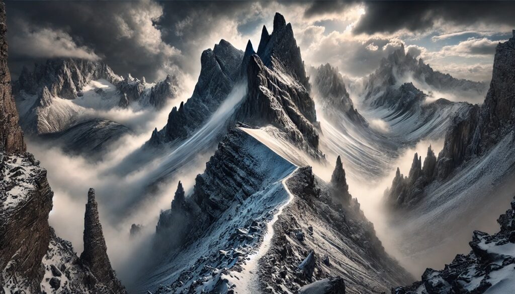
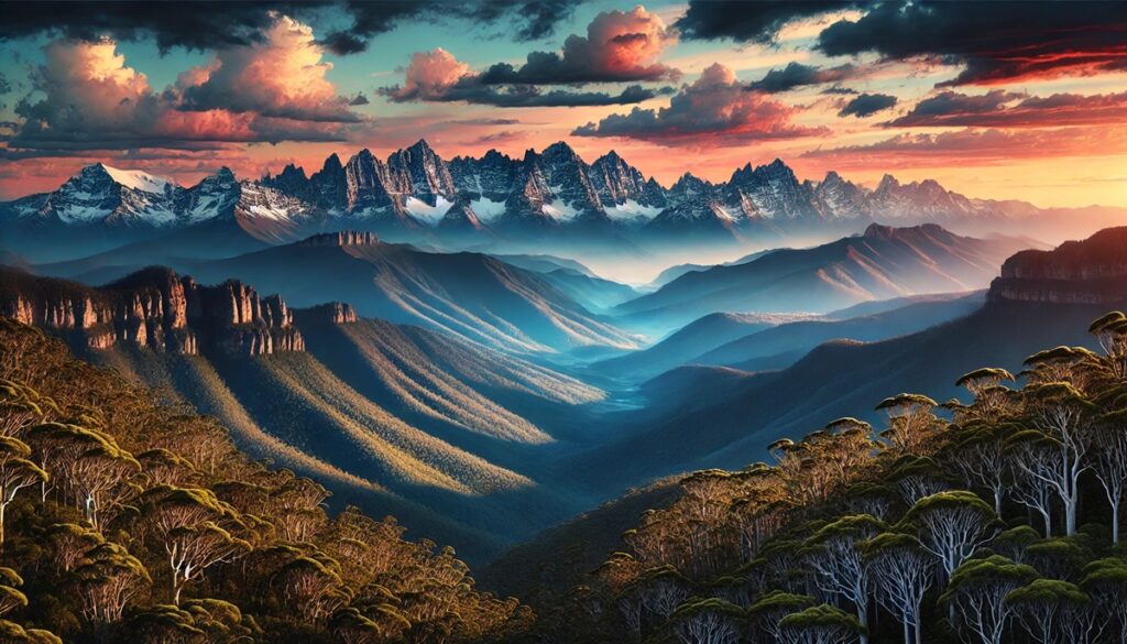
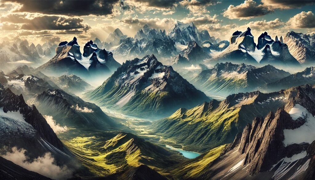
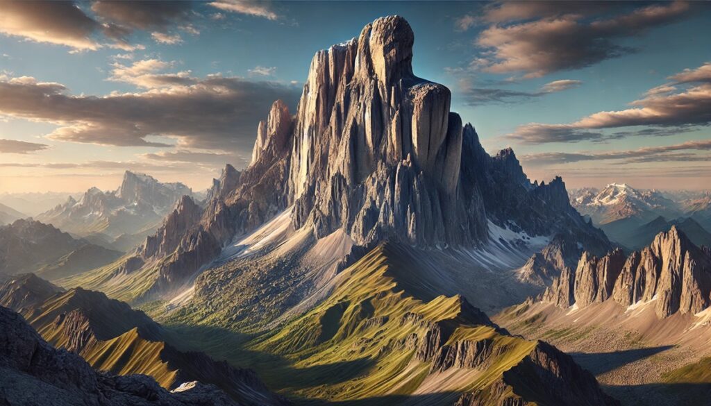
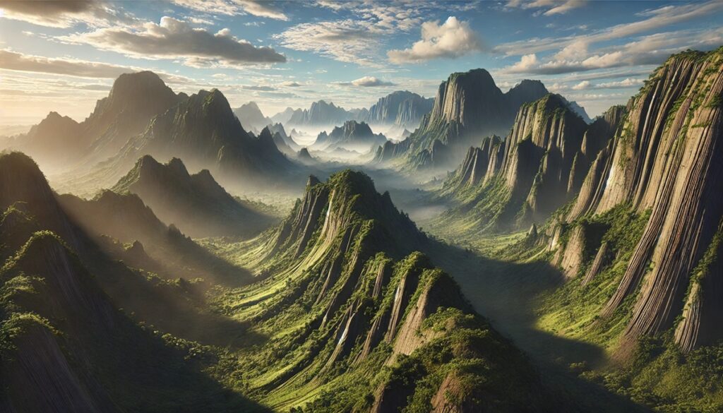
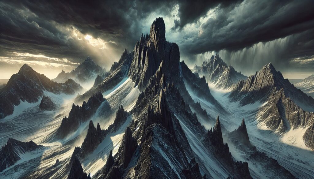
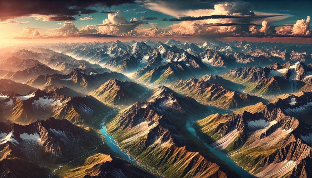
Geological wonders and maps share a profound connection, acting as keys to unlocking Earth’s most spectacular secrets. A map isn’t merely a tool for navigation; it’s a storybook of landscapes, a canvas marked with rivers that carve deep canyons, mountain ranges that scrape the heavens, and deserts that stretch endlessly into the horizon. Imagine tracing your fingers over a topographic map, feeling the imaginary rise of Everest or the dip into the Mariana Trench. Maps transform the abstract into the tangible, turning names like Yellowstone or Sahara into destinations brimming with life, history, and mystery. Each contour and coordinate whispers tales of ancient eruptions, shifting tectonic plates, and relentless rivers that have sculpted these natural masterpieces over millennia. A geological map, rich with detail, invites the curious to explore layers of history preserved in stone and sediment. It highlights the grandeur of the Grand Canyons stratified colors or the surreal symmetry of the Giants Causeway. Together, geological wonders and maps inspire wanderlust and discovery, urging us to marvel at the forces that have shaped the world while plotting our own journey through its breathtaking landscapes.
Top 10 Geological Wonders
Top 10 Geological Wonders
WhiteClouds builds 3D Raised Relief Maps
The Earth is a breathtaking canvas of geological wonders, each a witness to the planet’s dynamic processes and immense power over millennia. From towering mountains to otherworldly rock formations, these natural phenomena captivate travelers, scientists, and dreamers alike. Each wonder tells a story of time, transformation, and resilience. This list explores ten of the world’s most spectacular geological wonders, ordered by size, offering insights into their grandeur, history, and allure.
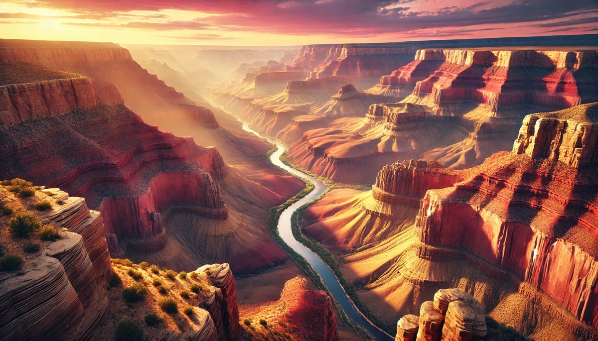
#1: The Grand Canyon – Over 277 Miles Long
The Grand Canyon in Arizona, USA, is a sprawling chasm carved over millions of years by the Colorado River. Stretching 277 miles in length and reaching depths of over a mile, it’s a vivid showcase of layered rock revealing nearly two billion years of Earth’s history. Visitors marvel at its colorful bands of red, orange, and gold that shift hues with the changing sunlight. Indigenous tribes, including the Hopi and Navajo, hold the canyon sacred, weaving its majesty into their myths and traditions. Early explorers like John Wesley Powell, who navigated its rapids in 1869, spoke of its overwhelming beauty, comparing it to a “bible of stone.” Today, millions flock to its rims, hiking its trails or rafting its river to connect with its ancient essence.
#2: Mount Everest – 29,032 Feet Tall
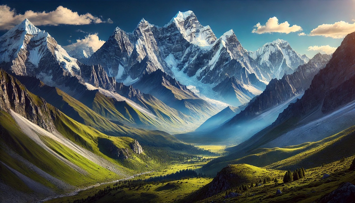
Towering above the Himalayan range, Mount Everest, the highest peak on Earth, stands at an awe-inspiring 29,032 feet. Nestled between Nepal and Tibet, its snow-capped summit beckons adventurers and climbers from around the globe. Formed through tectonic collision over 60 million years ago, Everest is a symbol of resilience and ambition. The first successful ascent by Sir Edmund Hillary and Tenzing Norgay in 1953 remains one of history’s most celebrated feats. However, its allure is matched by its peril; extreme weather and altitude have claimed many lives. Despite these dangers, climbers persist, drawn by its challenge and beauty. Local Sherpas, revered for their mountaineering expertise, share legends of the Yeti said to roam its icy slopes.
#3: The Great Barrier Reef – 1,429 Miles Long
Though primarily marine, the Great Barrier Reef of Australia is a geological masterpiece composed of over 2,900 coral reefs. Spanning 1,429 miles, it’s the world’s largest living structure, visible even from space. This vibrant ecosystem, over 500,000 years old, harbors unparalleled biodiversity, including 1,500 fish species and the giant clam. Aboriginal legends describe it as a gift from their ancestors. However, climate change and pollution threaten its survival, with large sections suffering from coral bleaching. Snorkelers and divers often describe their experiences as entering a “living dream,” surrounded by brilliant hues and teeming marine life.
#4: Mauna Loa – 13,681 Feet Above Sea Level
Hawaii’s Mauna Loa is the largest volcano on Earth by volume, rising 13,681 feet above sea level and extending far below the ocean floor. Its mass is so immense that it depresses Earth’s crust. Over a million years old, Mauna Loa’s eruptions have shaped the Hawaiian Islands, creating a diverse landscape of lava fields, lush forests, and volcanic craters. Native Hawaiian lore venerates the volcano as the domain of Pele, the fire goddess. Its 1984 eruption drew worldwide attention as lava flows approached the city of Hilo. Today, visitors hike its slopes, drawn by its stark beauty and expansive views.
#5: The Amazon Rainforest Basin – Covering 2.7 Million Square Miles
The Amazon Rainforest, though primarily a biological wonder, is underpinned by the vast Amazon Basin—a geological formation covering 2.7 million square miles. This basin’s intricate river system has carved valleys and nurtured life for tens of millions of years. It’s a cradle of biodiversity and a source of global fascination. Indigenous tribes recount tales of the land’s mystical origins and its role as a sacred guardian. Modern exploration of the Amazon’s geological features reveals ancient land formations shaped by tectonic activity. Travelers often describe the awe of cruising its mighty rivers, surrounded by an endless canopy of green.
#6: Uluru (Ayers Rock) – 1,142 Feet Tall
In the heart of Australia’s Outback, Uluru rises dramatically from the desert floor, standing 1,142 feet tall and measuring over 6 miles around its base. This monolithic sandstone formation is over 600 million years old, its red surface shifting colors during sunrise and sunset. Revered by the Anangu people, Uluru is a sacred site imbued with stories from their Tjukurpa (Dreamtime). Visitors respect local customs by admiring it from designated trails, taking in its carvings and caves adorned with ancient rock art. Anecdotes of transformative experiences near Uluru are common, as its mystique evokes a deep connection to the Earth.
#7: Yellowstone Caldera – 45 Miles Across
Yellowstone National Park in Wyoming, USA, houses the Yellowstone Caldera, a supervolcano stretching 45 miles. This geothermal marvel, formed by a massive eruption 640,000 years ago, features geysers, hot springs, and bubbling mud pots. Old Faithful, the park’s iconic geyser, has been thrilling visitors with predictable eruptions for centuries. Indigenous tribes revered the area for its hot springs, believing them to possess healing properties. Modern scientists monitor Yellowstone closely for signs of volcanic activity, though major eruptions are unlikely in our lifetime. The caldera’s alien landscapes and vibrant colors leave visitors in awe of Earth’s volatile beauty.
#8: The Sahara Desert – 3.6 Million Square Miles
The Sahara Desert, covering 3.6 million square miles, is the world’s largest hot desert, spanning North Africa. Its vast expanse of sand dunes, rocky plateaus, and ancient oases has been shaped by wind and water over millions of years. The Sahara holds remnants of once-lush landscapes, as evidenced by prehistoric cave art depicting animals and human life. Camel caravans crossing its dunes carry echoes of ancient trade routes. Tales of survival and discovery in the Sahara’s harsh environment highlight its mystique. Visitors often describe the surreal tranquility of its star-filled nights and golden horizons.
#9: The Mariana Trench – 36,201 Feet Deep
The Mariana Trench in the Pacific Ocean is the deepest part of Earth’s oceans, plunging 36,201 feet into the Challenger Deep. This crescent-shaped abyss formed through subduction of tectonic plates and remains largely unexplored due to its crushing pressure. In 1960, the bathyscaphe Trieste descended into its depths, uncovering mysterious marine life. Filmmaker James Cameron made a solo descent in 2012, describing it as a “lunar-like” world. The trench’s discovery and exploration continue to fascinate scientists and the public, revealing the limits of human ingenuity and Earth’s enigmatic nature.
#10: The Giant’s Causeway – Columns Up to 39 Feet Tall
The Giant’s Causeway in Northern Ireland is a mesmerizing coastal formation of over 40,000 basalt columns, some reaching heights of 39 feet. Created by volcanic activity 50-60 million years ago, its hexagonal stones resemble a man-made pathway leading into the sea. Legend attributes its creation to the giant Finn MacCool, said to have built it as a bridge to Scotland. The site’s unique geometry and rugged beauty captivate visitors, who often walk among the columns or gaze at the waves crashing against them. Anecdotes of mystical encounters add to its charm, solidifying its status as a geological marvel.
These ten geological wonders showcase the Earth’s boundless creativity and power. Each site, whether shaped by fire, water, wind, or tectonic forces, offers a unique glimpse into the planet’s history and the forces that continue to shape it. As we marvel at their grandeur, we’re reminded of our role as stewards of these irreplaceable treasures, ensuring they endure for generations to come.
More Great Top 10’s
Geological Wonders and Maps
- Topographical Maps: Representation of the physical features of a region or area.
- Contour Maps: Representation of the contours of the land surface or ocean floor.
- Raised Relief Maps: Representation of land elevations with raised features indicating landforms.
- Terrain Maps: Representation of the physical features of a terrain or landmass.
- USGS Topographic Maps: Representation of topographic features and land elevations based on USGS data.
- USGS Historical Topographic Maps: Representation of historical topographic maps created by the USGS.
- Watershed Maps: Representation of the areas where water flows into a particular river or lake.
- Elevation Maps: Representation of land and water elevations with high precision.
- Physical Maps: Representation of physical features of the Earth’s surface such as landforms, oceans, and plateaus.
- Bathymetric Maps: Representation of the topography and features of the ocean floor.
- NOAA Maps: Representation of atmospheric, oceanographic, and environmental data by NOAA.
- Nautical Maps: Representation of the underwater features and depth of an area for navigation purposes.
- Geologic Maps: Representation of the geologic features of an area such as rock types, faults, and folds.
- Satellite Maps: Representation of earth from high-definition satellite imagery.
Contact us today to learn more about our services and how we can help you achieve your goals.


