Mountaineering is one of the most thrilling and dangerous pursuits on Earth. The allure of scaling a towering peak challenges human endurance, determination, and skill. Throughout history, climbers have faced extreme conditions, unpredictable weather, and technical routes to conquer the world’s most formidable summits. This list explores the ten hardest mountains to climb, highlighting their size, location, history, and the incredible stories that define them. These peaks are ranked not only by their height but also by their difficulty, creating a compelling narrative of human ambition and natural grandeur.
#1: Mount Everest – 29,032 feet
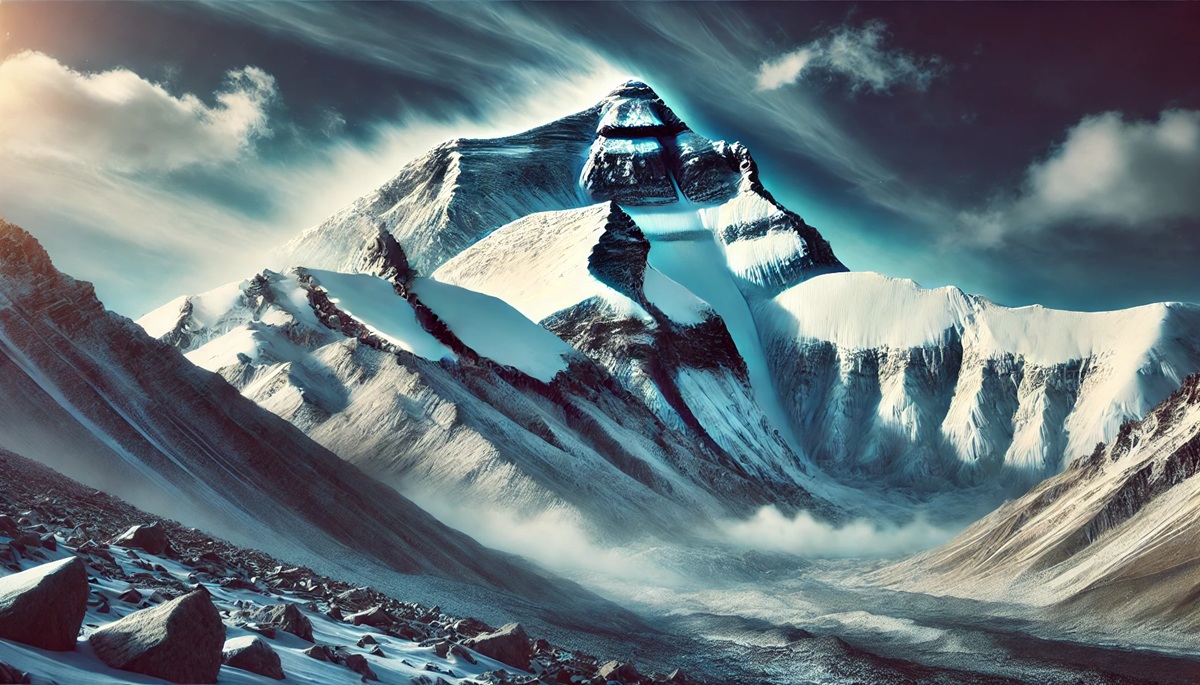
Mount Everest, the tallest mountain in the world, towers above the Himalayan range on the border of Nepal and Tibet. Its immense size and altitude make it a dream for climbers, but also a perilous challenge. Known locally as “Sagarmatha” and “Chomolungma,” Everest’s cultural significance is as immense as its physical presence. The mountain was first summited in 1953 by Sir Edmund Hillary and Tenzing Norgay, marking a historic achievement in mountaineering. Despite its fame, Everest’s death zone above 26,247 feet tests climbers’ physical and mental limits. Extreme cold, unpredictable avalanches, and the need for supplemental oxygen make the climb harrowing. Anecdotes from climbers often recount their struggles with altitude sickness and frostbite, while tales of camaraderie and survival against all odds are common. With over 300 deaths recorded, Everest remains a graveyard of ambition and a confirmation to human perseverance.
#2: K2 – 28,251 feet
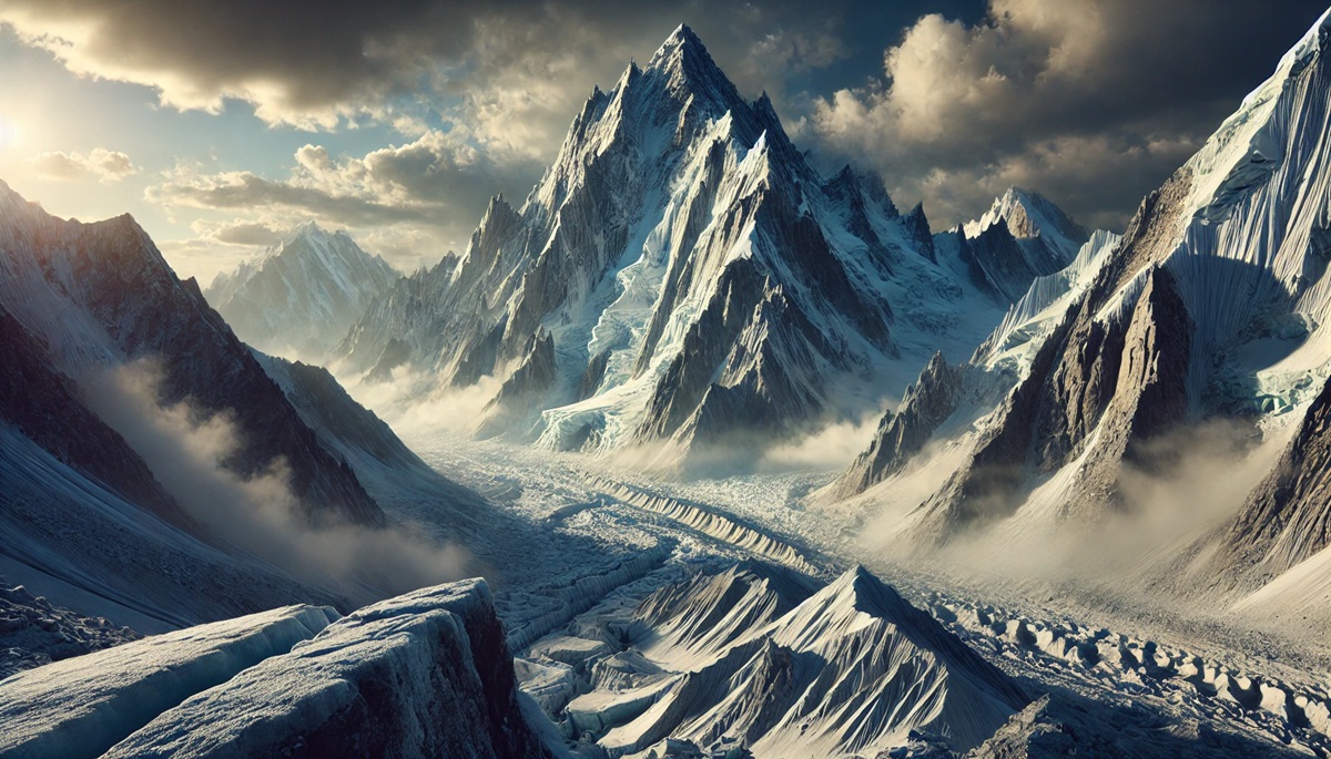
Nicknamed the “Savage Mountain,” K2 is the second-highest peak in the world and arguably the most difficult to climb. Situated in the Karakoram range on the Pakistan-China border, K2’s unforgiving slopes and extreme weather have claimed the lives of one in four climbers who attempt its summit. Unlike Everest, K2 has no commercialized routes, and its steep faces require advanced technical skills. The mountain was first climbed in 1954 by Italians Lino Lacedelli and Achille Compagnoni. Anecdotal accounts, such as the tragic 2008 expedition where 11 climbers lost their lives, reveal the deadly risks involved. The Bottleneck Couloir, a steep and narrow passage near the summit, is notorious for collapsing seracs and has become the defining challenge for K2 climbers.
#3: Kangchenjunga – 28,169 feet
Located on the border between Nepal and India, Kangchenjunga is the third-highest mountain in the world. Revered as a sacred peak by local communities, it was once thought to be the tallest mountain on Earth until the mid-19th century. The mountain’s five massive peaks, often shrouded in clouds, make it visually striking. It was first climbed in 1955 by Joe Brown and George Band, who honored a local tradition by stopping short of the summit. The technical difficulties of its icy ridges, coupled with frequent avalanches and poor weather, make Kangchenjunga one of the most dangerous climbs. Anecdotes of near-misses and climbers’ survival stories add to its mystique, as does its status as one of the least climbed 8,000-meter peaks.
#4: Lhotse – 27,940 feet
Lhotse, Everest’s neighbor in the Himalayas, shares much of its treacherous terrain but has a distinct identity as the fourth-highest peak. Its name, meaning “South Peak” in Tibetan, highlights its proximity to Everest. Lhotse was first summited in 1956 by a Swiss team. Its south face is one of the most challenging walls in the world, a 10,000-foot vertical ascent of sheer ice and rock. Few climbers attempt this route, and those who do often recount tales of heart-pounding falls and near-death experiences. While overshadowed by Everest’s fame, Lhotse’s technical difficulties and dramatic landscape attract elite climbers seeking the ultimate test.
#5: Makalu – 27,838 feet
Makalu’s iconic pyramid shape and sharp ridges make it one of the most visually distinct mountains in the Himalayas. Situated just 12 miles southeast of Everest, it was first climbed in 1955 by a French team. Makalu’s technical challenges stem from its knife-edge ridges and steep pitches, requiring precision and skill. The mountain’s isolated location adds to its difficulty, as weather conditions are often harsher and less predictable. Anecdotal stories from climbers describe hair-raising moments on its narrow ledges and a profound sense of accomplishment upon summiting this formidable peak.
#6: Cho Oyu – 26,864 feet
Cho Oyu, the sixth-highest mountain, is often considered one of the more accessible 8,000-meter peaks but still presents significant challenges. Located on the Nepal-Tibet border, Cho Oyu means “Turquoise Goddess” in Tibetan. It was first climbed in 1954 by an Austrian team. While less technical than others on this list, Cho Oyu’s high altitude and cold temperatures are significant obstacles. Many climbers use it as a preparatory climb for Everest. Anecdotes reveal how its relative “ease” can be deceptive, with sudden storms and icy crevasses claiming lives.
#7: Dhaulagiri I – 26,795 feet
Dhaulagiri, meaning “White Mountain” in Sanskrit, is a striking massif in Nepal that towers above the Kali Gandaki River. Its isolation and dramatic rise make it one of the most beautiful and challenging climbs. First summited in 1960 by a Swiss-Austrian-Nepali team, Dhaulagiri’s steep slopes and unpredictable weather pose significant dangers. Avalanches are a constant threat, and climbers’ stories often describe the deafening roar of snow cascading down the mountain. Despite its beauty, Dhaulagiri is one of the deadliest peaks, with a high fatality rate among those who attempt it.
#8: Manaslu – 26,781 feet
Manaslu, the “Mountain of the Spirit,” is located in Nepal and is the eighth-highest peak in the world. First climbed in 1956 by a Japanese team, it is revered by locals as a sacred site. The mountain’s long ridges and valleys make it a technically demanding climb. Climbers often recount tales of exhaustion and elation as they navigate its dangerous crevasses and steep ascents. A tragic avalanche in 2012 that killed 11 climbers serves as a grim reminder of the risks inherent in climbing Manaslu.
#9: Nanga Parbat – 26,660 feet
Known as the “Killer Mountain,” Nanga Parbat is the ninth-highest peak and one of the most treacherous climbs. Located in Pakistan, its Rupal Face is the tallest mountain face in the world, a daunting challenge for even the most skilled climbers. First summited in 1953 by Hermann Buhl, the climb was a solo effort, marking an extraordinary feat in mountaineering history. Nanga Parbat’s notorious weather and avalanches contribute to its deadly reputation, and stories of climbers stranded in storms or succumbing to altitude-related illnesses are tragically common.
#10: Annapurna I – 26,545 feet
Annapurna I is both the tenth-highest mountain and the most dangerous of the 8,000-meter peaks, with a fatality rate exceeding 30%. Located in Nepal, it was the first 8,000-meter peak to be climbed, achieved by a French team in 1950. Its steep terrain and frequent avalanches make it a perilous climb. Climbers’ accounts often mention the overwhelming beauty of Annapurna’s glacial valleys and the intense satisfaction of reaching its summit. However, its reputation as a “man-eater” ensures it remains a daunting prospect for mountaineers.
From the towering heights of Everest to the treacherous slopes of Annapurna, these mountains represent the pinnacle of human ambition and nature’s unforgiving beauty. Each peak tells a story of triumph, tragedy, and the enduring spirit of exploration. For climbers, these mountains are more than just geological formations—they are tests of endurance, resilience, and the unyielding desire to reach new heights.


