Lakes and maps share an enchanting relationship, each revealing secrets and stories that intertwine nature and human curiosity. On a map, a lake is more than a blue blot; its a portal to the past and present, a mark of where life gathers and thrives. Maps chart their shapes with delicate precision, tracing the undulating shorelines that cradle still waters or ripple with wind-whipped waves. They hint at depths that hold mysteries submerged forests, forgotten shipwrecks, or perhaps ancient ruins all hidden beneath their mirrored surfaces. Lakes, in turn, make maps more alive, drawing explorers to their edges with promises of reflection and adventure. They are crossroads of culture and geography, where place names tell tales of indigenous legends, forgotten settlements, or explorers awe-struck moments. Holding a map with a lake on it is to hold the potential for discovery: the perfect campsite, the echo of birdsong, or the whisper of the wind over waters unchanged for millennia. Together, lakes and maps invite the imagination to wander, conjuring visions of uncharted beauty and the thrill of finding where water meets the land.
Top 10 Lakes with the Highest Elevation
Top 10 Lakes with the Highest Elevation
WhiteClouds builds 3D Raised Relief Maps
The Earth’s most elevated lakes are wonders of nature, showcasing pristine waters and often untouched beauty. Nestled high in the mountains or atop plateaus, these lakes are not only marvels for their altitude but also for their ecological, geological, and historical significance. From being sacred sites for ancient civilizations to offering unmatched scenic beauty, these lakes captivate explorers and scientists alike. Below is a list of the top 10 lakes with the highest elevation, sorted by size. Each entry dives into their features, intriguing history, and unique allure.
#1: Lake Titicaca – 3,232 square miles
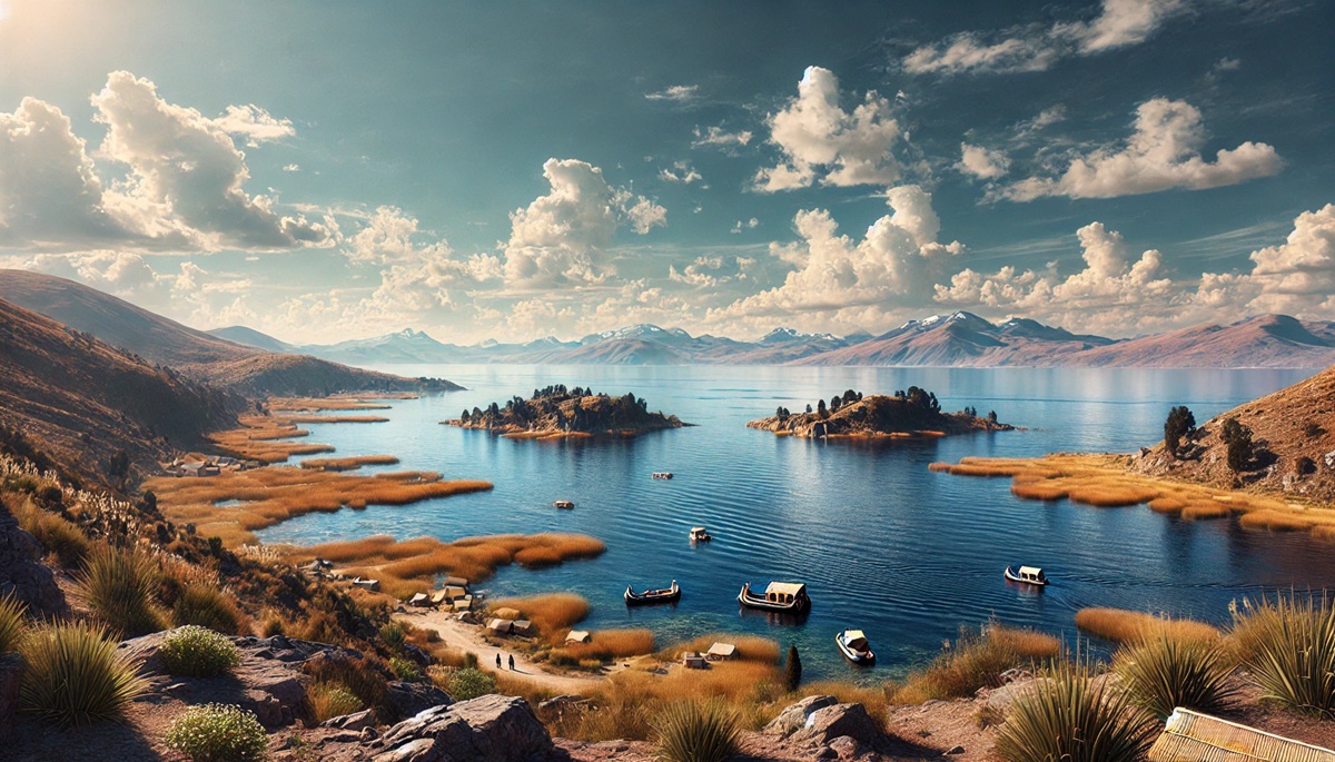
Lake Titicaca, straddling the border of Bolivia and Peru, is the largest high-altitude lake in the world, sitting at an elevation of 12,507 feet. Covering an expansive 3,232 square miles, its sheer size and sparkling blue waters make it a standout feature of the Andes. The lake is steeped in legend, believed to be the birthplace of the Inca civilization. Over 40 islands dot its surface, with the Uros Islands—man-made floating islands constructed from totora reeds—drawing significant attention for their unique cultural heritage. Visitors often explore the ruins of the Tiwanaku civilization around the lake, a reminder of its historical importance. Anecdotes from travelers recount the mesmerizing tranquility of watching the sun rise over Titicaca’s vast expanse, painting the surroundings in hues of gold and orange.
#2: Lake Poopó – 927 square miles (historically)
Historically one of the larger high-altitude lakes, Lake Poopó in Bolivia sat at an elevation of 12,090 feet and covered an area of approximately 927 square miles. However, this shallow saltwater lake has seen dramatic changes over time, primarily due to climate change and water mismanagement. Once part of a large ecosystem connected to Lake Titicaca via the Desaguadero River, Lake Poopó was a vital resource for local communities and wildlife. It was renowned for its mirror-like surface reflecting the vast Bolivian skies. Stories from older generations tell of abundant fishing in its waters and how local festivals celebrated the lake’s bounties. Sadly, its shrinkage and near disappearance serve as a poignant reminder of human impact on fragile ecosystems.
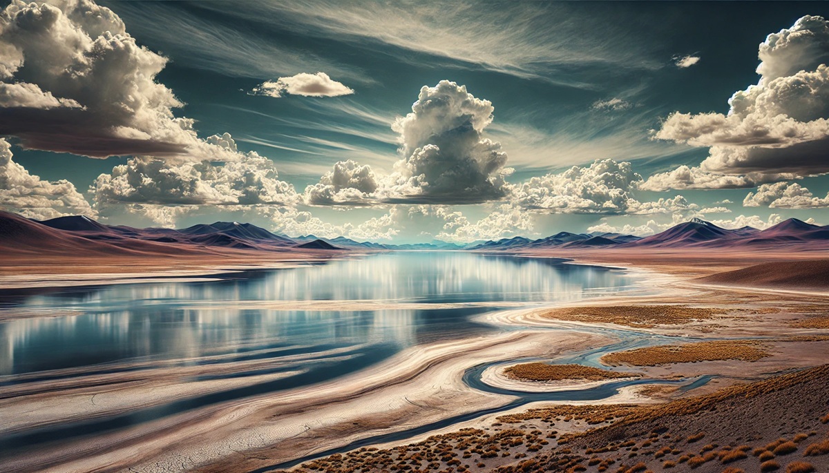
#3: Lake Qinghai – 2,317 square miles
Lake Qinghai, also known as Kokonor, lies at an elevation of 10,312 feet in China’s Qinghai province. This saline lake is surrounded by vast grasslands, making it a breathtaking spot of natural beauty. Covering 2,317 square miles, it is an ecological haven, home to migratory birds and unique species of fish. Pilgrims frequently visit its shores, as it holds spiritual significance in Tibetan Buddhism. Fascinatingly, ancient legends tell of Lake Qinghai’s creation as a divine protector for the region. Hikers and travelers often share anecdotes about encountering nomadic herders who recount these tales while sipping butter tea by the lakeside.
#4: Nam Co – 740 square miles
Nam Co, or “Heavenly Lake,” is perched at an altitude of 15,479 feet in Tibet and spans approximately 740 square miles. This pristine body of water reflects the towering Nyenchen Tanglha Mountains, creating a picture-perfect landscape that has been a muse for countless photographers and artists. The lake’s name hints at its spiritual importance, as it is revered in Tibetan Buddhism, with pilgrims walking its circumference as an act of devotion. Anecdotes of travelers speak of the surreal beauty of the starlit skies over Nam Co, where the Milky Way appears to touch the Earth.
#5: Lake Tso Moriri – 120 square miles
Lake Tso Moriri, at an elevation of 14,836 feet in Ladakh, India, covers 120 square miles and is surrounded by rugged Himalayan peaks. Known for its vibrant blue hue and rich biodiversity, it has been declared a Ramsar Wetland of International Importance. The lake is considered sacred by local communities and serves as a critical habitat for migratory birds. Stories abound of yak herders who tell of strange sightings on its shores—from rare snow leopards to glowing lights attributed to spiritual phenomena.
#6: Lake Puma Yumco – 114 square miles
Located in Tibet at an elevation of 16,076 feet, Lake Puma Yumco covers 114 square miles. It is one of the highest freshwater lakes in the world. The turquoise waters of this serene lake starkly contrast the barren, rocky landscape around it. Legends describe the lake as the resting place of a celestial tiger, which gives the lake its name. Tales from nomadic locals recount mysterious sounds echoing across its waters during still nights, believed to be whispers from the tiger’s spirit.
#7: Lake Manasarovar – 120 square miles
Lake Manasarovar, at an altitude of 15,060 feet in Tibet, spans 120 square miles and is considered one of the holiest lakes in Hinduism, Buddhism, and Jainism. Pilgrims journey from around the world to circumambulate its shores, seeking blessings and purification. The lake’s crystal-clear waters and its location near Mount Kailash create an aura of serenity and divine connection. Anecdotes include tales of miraculous healings and spiritual visions experienced by those who meditate near its banks.
#8: Lake Parinacota – 37 square miles
Nestled at 14,760 feet in the Chile-Bolivia border region, Lake Parinacota covers 37 square miles. This volcanic lake’s dark waters are surrounded by stark, arid landscapes, creating a dramatic contrast that enchants visitors. Folklore tells of a volcanic eruption that gave birth to the lake, with spirits of the displaced now residing within its depths. Local guides share eerie stories of travelers hearing faint cries carried by the wind.
#9: Lake Tilicho – 1.9 square miles
Lake Tilicho, perched at 16,138 feet in Nepal’s Annapurna region, is among the highest lakes on Earth. Covering just 1.9 square miles, it may be small, but its altitude and location make it extraordinary. Trekkers often describe their journey to Tilicho as a spiritual pilgrimage, with the lake’s icy waters reflecting the towering Annapurna Massif. The history of the lake is intertwined with local myths, including one that claims its waters were once tears shed by a goddess in mourning.
#10: Ojos del Salado Lake – 0.03 square miles
The smallest yet highest lake on this list, Ojos del Salado Lake sits at an incredible 20,965 feet within the caldera of the world’s tallest active volcano, Ojos del Salado, on the Chile-Argentina border. Despite its tiny size of 0.03 square miles, the lake holds immense fascination for mountaineers and geologists. Anecdotes from climbers speak of the surreal experience of finding liquid water in one of the driest and highest places on Earth, surrounded by towering volcanic peaks.
The lakes on this list are more than just bodies of water; they are natural wonders that capture the imagination and inspire awe. Each one tells a story of the planet’s geological evolution, cultural significance, and ecological richness. Whether large or small, these high-altitude marvels remind us of the beauty and fragility of our world’s unique landscapes.
More Great Top 10’s
Lakes and Maps
- Topographical Maps: Representation of the physical features of a region or area.
- Contour Maps: Representation of the contours of the land surface or ocean floor.
- Raised Relief Maps: Representation of land elevations with raised features indicating landforms.
- Terrain Maps: Representation of the physical features of a terrain or landmass.
- USGS Topographic Maps: Representation of topographic features and land elevations based on USGS data.
- USGS Historical Topographic Maps: Representation of historical topographic maps created by the USGS.
- Watershed Maps: Representation of the areas where water flows into a particular river or lake.
- Elevation Maps: Representation of land and water elevations with high precision.
- Physical Maps: Representation of physical features of the Earth’s surface such as landforms, oceans, and plateaus.
- Bathymetric Maps: Representation of the topography and features of the ocean floor.
- NOAA Maps: Representation of atmospheric, oceanographic, and environmental data by NOAA.
- Nautical Maps: Representation of the underwater features and depth of an area for navigation purposes.
- Geologic Maps: Representation of the geologic features of an area such as rock types, faults, and folds.
- Satellite Maps: Representation of earth from high-definition satellite imagery.
Contact us today to learn more about our services and how we can help you achieve your goals.


