Top 10 Largest Archipelagos in the World
Top 10 Largest Archipelagos in the World
WhiteClouds builds 3D Raised Relief Maps
Archipelagos are some of the most breathtaking natural formations on Earth, comprising clusters of islands that dot the oceans, seas, and rivers of the world. These island groups are not only geographical marvels but also cultural and ecological treasure troves, offering unique histories, diverse ecosystems, and fascinating anecdotes of exploration. From vast tropical paradises to icy, remote clusters, archipelagos have shaped the lives of the people and wildlife that call them home. Here is a list of the top 10 largest archipelagos in the world, celebrated for their size, beauty, and captivating stories.
#1: Malay Archipelago – 741,100 Square Miles
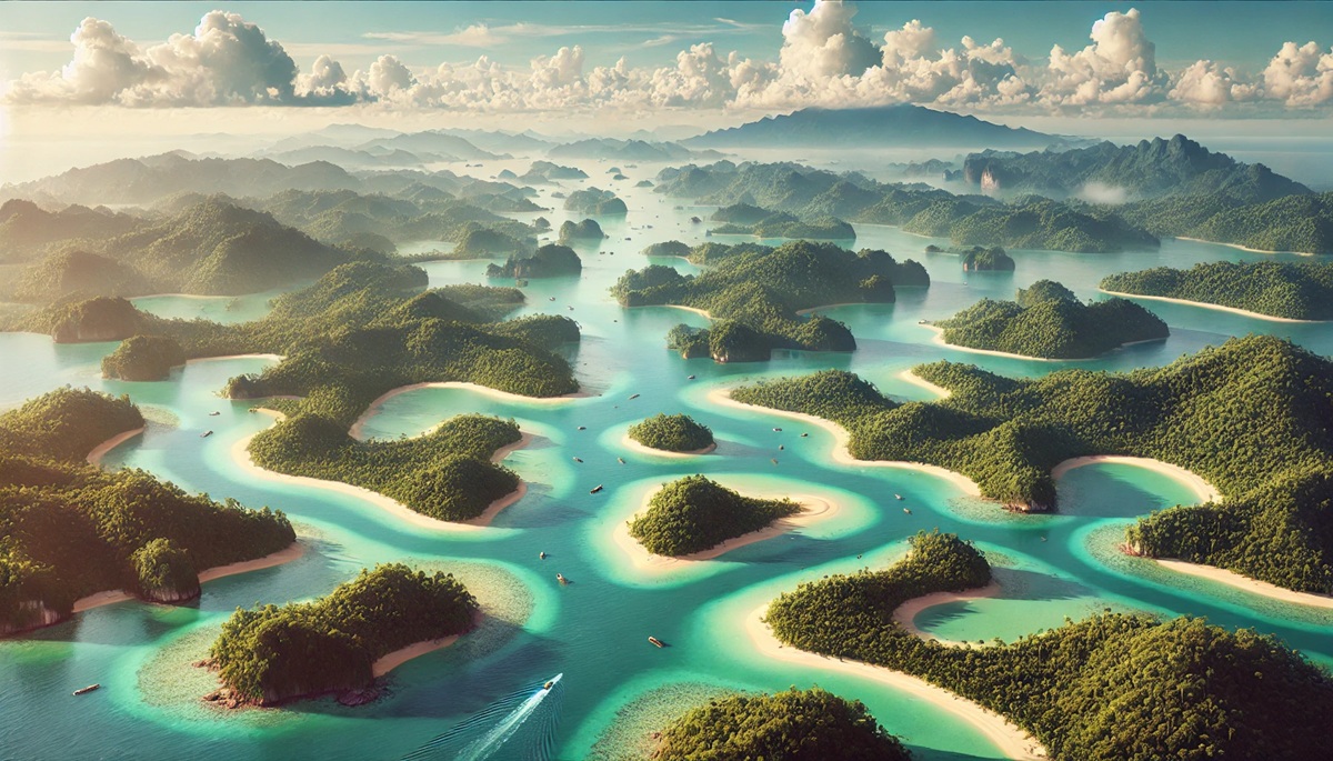
The Malay Archipelago is the largest archipelago in the world, spanning 741,100 square miles across Southeast Asia. This sprawling network includes over 25,000 islands spread across Indonesia, Malaysia, the Philippines, Papua New Guinea, and Brunei. Known for its unparalleled biodiversity, the region is home to the world’s richest marine life, dense rainforests, and volcanic landscapes. Historically, the Malay Archipelago was a hub for spice trading, with explorers like Ferdinand Magellan and Sir Francis Drake seeking its riches. Today, it remains a melting pot of cultures, languages, and religions. Iconic islands like Bali and Borneo attract millions of tourists, while others remain remote and mysterious, offering glimpses of unspoiled beauty and ancient traditions.
#2: Arctic Archipelago – 550,000 Square Miles
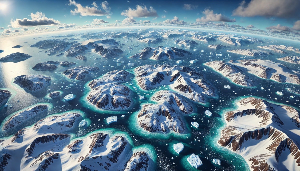
Canada’s Arctic Archipelago is a massive expanse of over 36,000 islands, covering 550,000 square miles. Situated in the frigid waters of the Arctic Ocean, this archipelago is known for its stark, icy beauty and harsh climate. The islands range from small rocky outcrops to large landmasses like Baffin Island and Victoria Island. The Arctic Archipelago is a vital habitat for polar bears, Arctic foxes, and seals. It also holds significant historical value, as explorers like John Franklin sought to navigate the Northwest Passage, often at great peril. Today, the region is a focal point for climate change research, with melting ice revealing ancient artifacts and new shipping routes.
#3: Indonesian Archipelago – 739,000 Square Miles
Indonesia is an archipelago nation comprising over 17,000 islands, stretching across 739,000 square miles in Southeast Asia. The islands are a mix of volcanic peaks, tropical forests, and coral reefs, creating a diverse landscape. Indonesia is the world’s largest island country, and its cultural diversity matches its geographic range, with over 300 ethnic groups and more than 700 languages spoken. Anecdotes of ancient kingdoms, such as the Majapahit Empire, and modern tales of surfers seeking the perfect wave in Bali highlight Indonesia’s timeless appeal. The country’s vibrant history, biodiversity, and welcoming people make it a global treasure.
#4: Philippine Archipelago – 115,830 Square Miles
The Philippine Archipelago, covering 115,830 square miles, consists of over 7,600 islands in the Pacific Ocean. The islands are renowned for their white-sand beaches, vibrant coral reefs, and rich cultural heritage. The Philippines has a history shaped by colonization, trade, and resistance, from the time of Spanish rule to the country’s independence. Today, islands like Palawan and Cebu are famous for their breathtaking natural beauty, while others are home to centuries-old churches, festivals, and traditions.
#5: Japanese Archipelago – 145,900 Square Miles
The Japanese Archipelago spans 145,900 square miles and includes over 6,800 islands, with Honshu, Hokkaido, Kyushu, and Shikoku as the main islands. Japan’s unique blend of ancient traditions and modern innovations is mirrored in its diverse landscapes, from Mount Fuji to bustling Tokyo. The archipelago’s history is rich with samurai tales, artistic achievements, and moments of profound resilience, such as its recovery from natural disasters. The surrounding waters are teeming with marine life, and the islands’ hot springs, temples, and cherry blossoms attract visitors from around the globe.
#6: Galápagos Islands – 3,040 Square Miles
The Galápagos Islands, covering 3,040 square miles, are located off the coast of Ecuador in the Pacific Ocean. Famous for their role in Charles Darwin’s theory of evolution, the Galápagos are a living laboratory of unique species like giant tortoises, marine iguanas, and blue-footed boobies. These volcanic islands are both rugged and pristine, offering a glimpse into a world untouched by time. Stories of early explorers, pirates, and scientists intertwine with the islands’ natural wonders, making them a symbol of conservation and discovery.
#7: British Isles – 121,600 Square Miles
The British Isles, spanning 121,600 square miles, include the islands of Great Britain, Ireland, and over 6,000 smaller islands. This archipelago has a rich cultural and historical legacy, from ancient Celtic tribes to the rise of the British Empire. The landscapes range from the rolling hills of England to the rugged coasts of Scotland and the green fields of Ireland. The British Isles are also home to countless literary legends, inspiring works by Shakespeare, Yeats, and Tolkien.
#8: New Zealand Archipelago – 103,730 Square Miles
The New Zealand Archipelago, covering 103,730 square miles, consists of the North Island, South Island, and numerous smaller islands. Known for its stunning natural beauty, New Zealand features towering mountains, fjords, and pristine beaches. The Māori culture is deeply woven into the islands’ identity, with stories of ancestral journeys and sacred sites like Rotorua. Modern tales of adventure sports and the filming of epic movies like The Lord of the Rings add to New Zealand’s allure.
#9: Caribbean Archipelago – 106,300 Square Miles
The Caribbean Archipelago includes over 7,000 islands spread across 106,300 square miles. These islands, known for their turquoise waters and white-sand beaches, are a tropical paradise. The Caribbean has a complex history shaped by colonization, slavery, and independence, with vibrant cultures emerging as a result. Iconic destinations like Jamaica, the Bahamas, and Puerto Rico offer music, food, and traditions that captivate visitors.
#10: Aegean Archipelago – 83,000 Square Miles
The Aegean Archipelago, covering 83,000 square miles in the Mediterranean Sea, is a cluster of islands steeped in history and myth. These islands were the cradle of ancient Greek civilization, with sites like Delos and Rhodes bearing witness to the glory of the past. Today, the islands are known for their whitewashed villages, crystal-clear waters, and cultural festivals that celebrate their enduring heritage.
Archipelagos are more than just groups of islands; they are dynamic ecosystems and cultural hubs that have shaped human history and the natural world. From the vast Malay Archipelago to the storied Aegean islands, these regions captivate the imagination and offer endless opportunities for exploration and discovery. Each archipelago tells its own story, woven into the fabric of the Earth’s diverse landscapes and histories.


