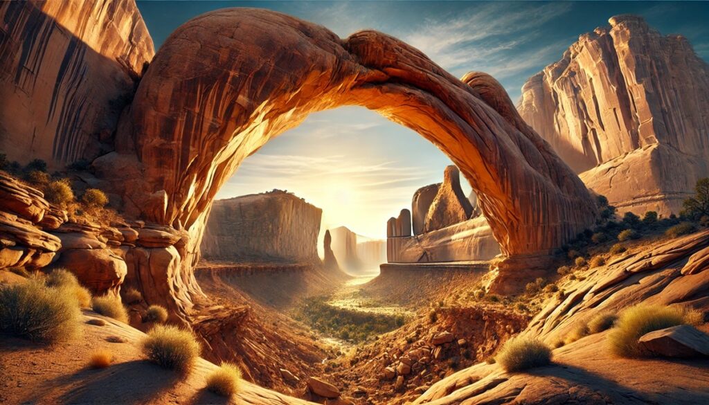
Top 10 Largest Canyons in the United States
Top 10 Largest Canyons in the United States
WhiteClouds builds 3D Raised Relief Maps
The United States is home to some of the most expansive and awe-inspiring canyons in the world. These immense landscapes, carved by the forces of water, wind, and time, reveal layers of geological history and offer some of the most breathtaking views on Earth. From the iconic Grand Canyon to lesser-known but equally magnificent formations, these canyons have shaped ecosystems, cultures, and countless adventures. Here are the top 10 largest canyons in the United States, ranked by size and their ability to captivate those who explore them.
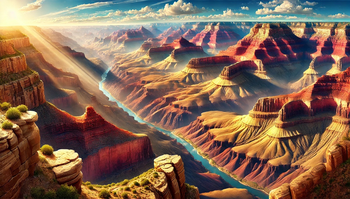
#1: Grand Canyon – Length: 277 Miles, Depth: 6,093 Feet
The Grand Canyon in Arizona is the most famous and one of the largest canyons in the world. Stretching 277 miles long and up to 18 miles wide, this natural wonder showcases a mesmerizing array of red, orange, and gold rock layers carved by the Colorado River over millions of years. At its deepest point, the canyon plunges more than 6,000 feet.
This iconic landscape has been home to indigenous tribes like the Havasupai and Hopi for thousands of years, who view it as sacred. Early European explorers marveled at its scale, and John Wesley Powell’s daring expeditions down the Colorado River in the 19th century remain legendary. Today, millions of visitors hike, raft, or simply stand in awe at its breathtaking viewpoints like Yavapai Point and Desert View.
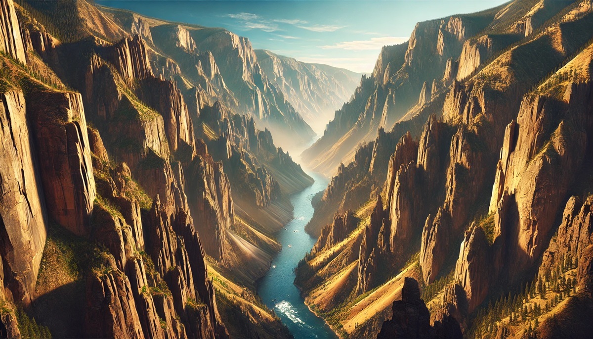
#2: Hells Canyon – Length: 10 Miles, Depth: 8,000 Feet
Hells Canyon, located along the Oregon-Idaho border, is North America’s deepest river gorge, plunging an incredible 8,000 feet. This rugged and remote canyon was carved by the Snake River and features dramatic cliffs, lush forests, and stunning basalt formations.
The canyon’s history is rich with tales of the Nez Perce Tribe, whose ancestors thrived in its challenging environment. Stories of gold prospectors and intrepid river rafters navigating its rapids add to its mystique. Visitors today can explore the wilderness via boat tours, hiking trails, and scenic overlooks like Heaven’s Gate.
#3: Palo Duro Canyon – Length: 120 Miles, Depth: 800 Feet
Palo Duro Canyon in Texas is the second-largest canyon in the United States by length, spanning 120 miles. Known as the “Grand Canyon of Texas,” it features multicolored rock layers and unique formations like the Lighthouse, a towering rock spire.
Home to the Comanche people before European settlement, the canyon played a significant role in Texas history. Today, visitors enjoy hiking, horseback riding, and outdoor performances of the musical Texas in its natural amphitheater.
#4: Zion Canyon – Length: 15 Miles, Depth: 2,640 Feet
Zion Canyon, located in Utah’s Zion National Park, is famous for its towering sandstone cliffs and lush greenery along the Virgin River. The 15-mile-long canyon features iconic trails like Angels Landing and The Narrows, offering some of the most exhilarating hikes in the country.
Early settlers named it after a biblical sanctuary, reflecting its awe-inspiring beauty. Stories of climbers scaling its sheer walls add to its allure, making Zion a haven for adventurers and nature lovers.
#5: Kings Canyon – Length: 20 Miles, Depth: 8,200 Feet
Kings Canyon in California is part of the Sierra Nevada and rivals Yosemite in grandeur. With depths reaching 8,200 feet, it is one of the deepest canyons in North America. Carved by the Kings River, it features granite cliffs, cascading waterfalls, and ancient sequoias.
John Muir famously compared Kings Canyon to Yosemite, praising its wild beauty. Visitors can explore its scenic trails or marvel at its towering walls from Cedar Grove.
#6: Bryce Canyon – Length: 12 Miles, Depth: 800 Feet
Bryce Canyon in Utah is famous for its striking hoodoos—spires of eroded red and orange rock that create a surreal landscape. Though technically an amphitheater rather than a traditional canyon, its size and uniqueness earn it a place on this list.
Early settlers marveled at its otherworldly beauty, and it remains a favorite among photographers and hikers. Sunrise and Sunset Points offer some of the best views.
#7: Black Canyon of the Gunnison – Length: 48 Miles, Depth: 2,722 Feet
The Black Canyon of the Gunnison in Colorado is a dramatic and narrow gorge carved by the Gunnison River. Its steep walls rise over 2,000 feet, and its narrowness creates a striking sense of depth.
The canyon’s dark rock walls earned it its name, as some parts receive only a few minutes of sunlight a day. Visitors can hike trails or admire views from overlooks like Painted Wall View.
#8: Canyon de Chelly – Length: 26 Miles, Depth: 1,000 Feet
Canyon de Chelly in Arizona is a place of both natural beauty and deep cultural significance. Its red sandstone walls rise up to 1,000 feet, enclosing ancient ruins and petroglyphs.
Home to the Navajo Nation, this canyon tells the story of centuries of habitation and survival. Visitors can explore it through guided tours or scenic overlooks like Spider Rock.
#9: Waimea Canyon – Length: 10 Miles, Depth: 3,000 Feet
Waimea Canyon in Hawaii, often called the “Grand Canyon of the Pacific,” is a vibrant display of red, green, and brown layers carved by erosion and volcanic activity. Its lush, tropical surroundings make it a unique and picturesque destination.
Visitors can hike trails like the Waimea Canyon Trail or take in panoramic views from lookouts, immersing themselves in this natural wonder.
#10: Royal Gorge – Length: 10 Miles, Depth: 1,250 Feet
Royal Gorge in Colorado is known as the “Grand Canyon of the Arkansas” due to its steep granite walls and the Arkansas River running through its base. The Royal Gorge Bridge, one of the highest suspension bridges in the world, spans the gorge.
This canyon has a rich history, from its importance in railway development to its modern status as an adventure destination for white-water rafting and ziplining.
The largest canyons in the United States are awe-inspiring examples of nature’s ability to sculpt the land into breathtaking works of art. From the iconic Grand Canyon to the lush Waimea Canyon, each offers unique beauty, rich history, and endless opportunities for adventure. Exploring these canyons is a journey through time, geology, and the incredible forces that shape our world.
More Great Top 10’s
Canyons and Maps
Learn more about Maps
- Topographical Maps: Representation of the physical features of a region or area.
- Contour Maps: Representation of the contours of the land surface or ocean floor.
- Raised Relief Maps: Representation of land elevations with raised features indicating landforms.
- Terrain Maps: Representation of the physical features of a terrain or landmass.
- USGS Topographic Maps: Representation of topographic features and land elevations based on USGS data.
- USGS Historical Topographic Maps: Representation of historical topographic maps created by the USGS.
- Watershed Maps: Representation of the areas where water flows into a particular river or lake.
- Elevation Maps: Representation of land and water elevations with high precision.
- Physical Maps: Representation of physical features of the Earth’s surface such as landforms, oceans, and plateaus.
- Bathymetric Maps: Representation of the topography and features of the ocean floor.
- NOAA Maps: Representation of atmospheric, oceanographic, and environmental data by NOAA.
- Nautical Maps: Representation of the underwater features and depth of an area for navigation purposes.
- Geologic Maps: Representation of the geologic features of an area such as rock types, faults, and folds.
- Satellite Maps: Representation of earth from high-definition satellite imagery.
Contact us today to learn more about our services and how we can help you achieve your goals.


