Top 10 Largest Canyons in the World
Top 10 Largest Canyons in the World
WhiteClouds builds 3D Raised Relief Maps
Canyons are nature’s grand sculptures, carved over millions of years by the persistent force of rivers and time. These immense landscapes showcase the raw beauty of the Earth, with towering cliffs, winding paths, and dramatic depths. Each canyon tells a story of geological wonder, ancient civilizations, and modern exploration. From the majestic Grand Canyon to the rugged depths of the Yarlung Tsangpo, these natural wonders captivate adventurers and scientists alike. Below are the top 10 largest canyons in the world, celebrated for their heights, histories, and breathtaking vistas.

#1: Grand Canyon, United States – 6,093 feet deep
The Grand Canyon, located in Arizona, is one of the most iconic canyons in the world, stretching over 277 miles with a depth of 6,093 feet at its deepest point. Its vast expanse showcases layers of rock that tell a story spanning two billion years. The Colorado River winds its way through the canyon, carving its distinctive shape.
The Grand Canyon has been a spiritual site for Native American tribes like the Hopi and Navajo, who regard it as sacred. Early explorers marveled at its scale, with John Wesley Powell’s 1869 expedition becoming legendary. Stories of daring hikes and rafting adventures through its rapids abound, while its vibrant sunsets continue to draw millions of visitors annually.
#2: Yarlung Tsaangpo Grand Canyon, Tibet – 17,567 feet deep
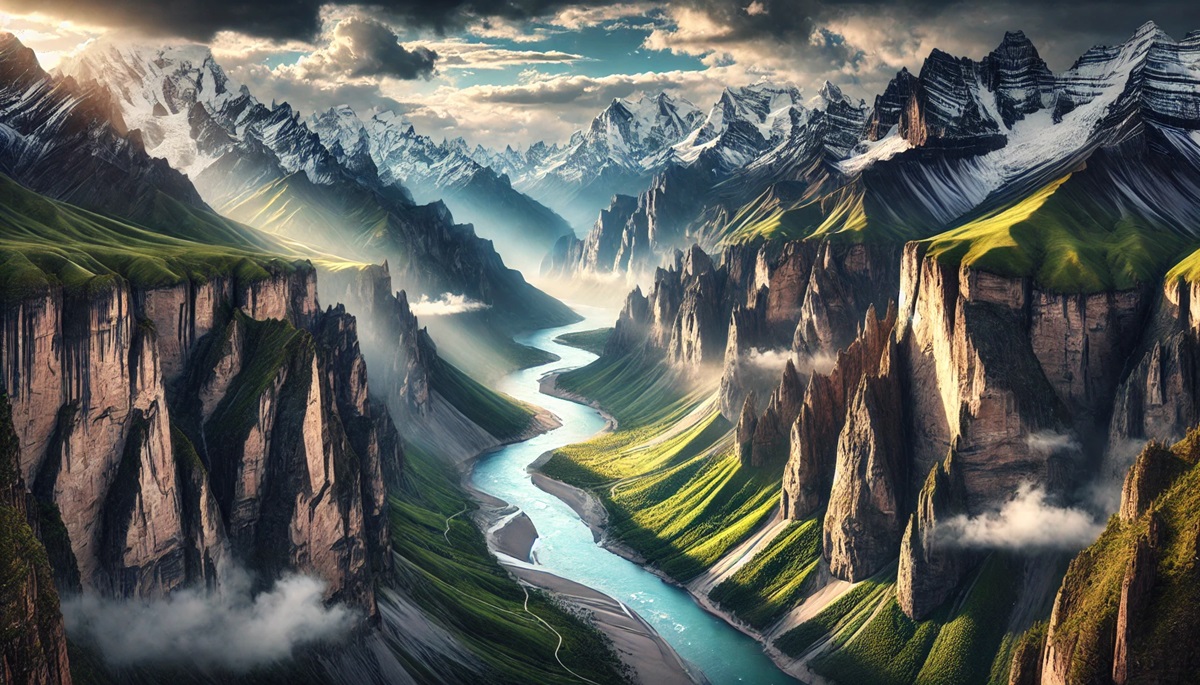
The Yarlung Tsangpo Grand Canyon in Tibet is the deepest canyon in the world, plunging to depths of 17,567 feet. This remote and rugged canyon follows the Yarlung Tsangpo River as it winds through the Himalayas, making it one of the most dramatic landscapes on Earth.
The canyon is often compared to the Grand Canyon for its grandeur, but its remote location makes it far less explored. The river is also known as the Brahmaputra as it flows into India. Anecdotes of intrepid explorers attempting to traverse its depths highlight its untamed beauty and challenges.
#3: Kali Gandaki Gorge, Nepal – 18,278 feet deep
The Kali Gandaki Gorge in Nepal is a geological wonder, with depths reaching 18,278 feet as it cuts through the towering peaks of Annapurna and Dhaulagiri. The gorge follows the path of the Kali Gandaki River, which is considered sacred in Hinduism.
This canyon is not only a natural marvel but also a vital trade route that has connected civilizations for centuries. Trekkers share tales of navigating its rugged trails and encountering ancient temples and villages that line its path.
#4: Cotahuasi Canyon, Peru – 11,598 feet deep
Cotahuasi Canyon in Peru is one of the deepest canyons in the world, plunging 11,598 feet into the Andes Mountains. The Cotahuasi River flows through it, surrounded by terraced fields and villages that have preserved their traditional lifestyles for centuries.
The canyon is a haven for adventurers, offering hiking, rafting, and even paragliding opportunities. Stories of ancient ruins and Incan trails add a historical richness to its stunning natural beauty.
#5: Colca Canyon, Peru – 10,725 feet deep
Colca Canyon, also in Peru, rivals Cotahuasi with its 10,725-foot depth. The canyon is famous for its dramatic cliffs and as a habitat for the Andean condor, one of the world’s largest birds.
The Colca River flows through the canyon, nurturing a rich ecosystem and ancient terraced agriculture. Visitors share tales of spotting condors soaring majestically overhead and exploring the quaint villages that dot the region.
#6: Fish River Canyon, Namibia – 1,800 feet deep
The Fish River Canyon in Namibia is Africa’s largest canyon, stretching 100 miles and reaching depths of 1,800 feet. Its rugged terrain and arid environment create a stark yet stunning landscape.
The Fish River Trail is a bucket-list hike for many adventurers, with anecdotes of braving the desert heat and marveling at the canyon’s dramatic vistas.
#7: Copper Canyon, Mexico – 6,200 feet deep
Copper Canyon, or Barranca del Cobre, in Mexico is a series of six canyons deeper and larger than the Grand Canyon, with a maximum depth of 6,200 feet. The canyons are home to the Tarahumara people, who are renowned for their long-distance running abilities.
The region’s train, El Chepe, offers a scenic journey through the canyons, with stories of breathtaking views and cultural encounters enriching the experience.
#8: Tara River Canyon, Montenegro – 4,300 feet deep
The Tara River Canyon in Montenegro is the deepest canyon in Europe, reaching depths of 4,300 feet. The turquoise waters of the Tara River have carved a stunning gorge through limestone cliffs, creating a paradise for rafting and kayaking.
The canyon is part of Durmitor National Park, a UNESCO World Heritage site, and is celebrated for its biodiversity and scenic beauty.
#9: Blyde River Canyon, South Africa – 2,500 feet deep
The Blyde River Canyon in South Africa is one of the largest green canyons in the world, with a depth of 2,500 feet. Its lush vegetation and striking rock formations make it a unique natural wonder.
Visitors share stories of hiking to viewpoints like God’s Window and exploring waterfalls and caves that dot the canyon.
#10: Verdon Gorge, France – 2,300 feet deep
The Verdon Gorge in France is one of Europe’s most beautiful canyons, with depths of 2,300 feet and emerald-green waters flowing through it. The gorge is a favorite spot for kayaking, rock climbing, and hiking.
Its proximity to the French Riviera makes it a popular day trip, with stories of picnics and swims in its pristine waters adding to its charm.
These immense canyons are windows into the Earth’s geological past and confirms to the power of erosion. From the Grand Canyon’s iconic landscapes to the remote depths of the Yarlung Tsangpo, each canyon offers a unique blend of beauty, history, and adventure, captivating the imaginations of all who encounter them.
More Great Top 10’s
Canyons and Maps
Learn more about Maps
- Topographical Maps: Representation of the physical features of a region or area.
- Contour Maps: Representation of the contours of the land surface or ocean floor.
- Raised Relief Maps: Representation of land elevations with raised features indicating landforms.
- Terrain Maps: Representation of the physical features of a terrain or landmass.
- USGS Topographic Maps: Representation of topographic features and land elevations based on USGS data.
- USGS Historical Topographic Maps: Representation of historical topographic maps created by the USGS.
- Watershed Maps: Representation of the areas where water flows into a particular river or lake.
- Elevation Maps: Representation of land and water elevations with high precision.
- Physical Maps: Representation of physical features of the Earth’s surface such as landforms, oceans, and plateaus.
- Bathymetric Maps: Representation of the topography and features of the ocean floor.
- NOAA Maps: Representation of atmospheric, oceanographic, and environmental data by NOAA.
- Nautical Maps: Representation of the underwater features and depth of an area for navigation purposes.
- Geologic Maps: Representation of the geologic features of an area such as rock types, faults, and folds.
- Satellite Maps: Representation of earth from high-definition satellite imagery.

