Top 10 Largest Countries in the World
Top 10 Largest Countries in the World
WhiteClouds builds 3D Raised Relief Maps
The vast expanse of Earth’s surface is divided into countries of varying sizes, each with its unique landscapes, cultures, and histories. Among them, the largest nations stand out for their sheer scale, diversity of terrains, and rich histories. Spanning continents and encompassing forests, deserts, mountains, and more, these countries represent the pinnacle of geographical grandeur. Let’s explore the top 10 largest countries in the world and uncover the fascinating stories behind their immense territories.
#1: Russia – 6,602,000 square miles
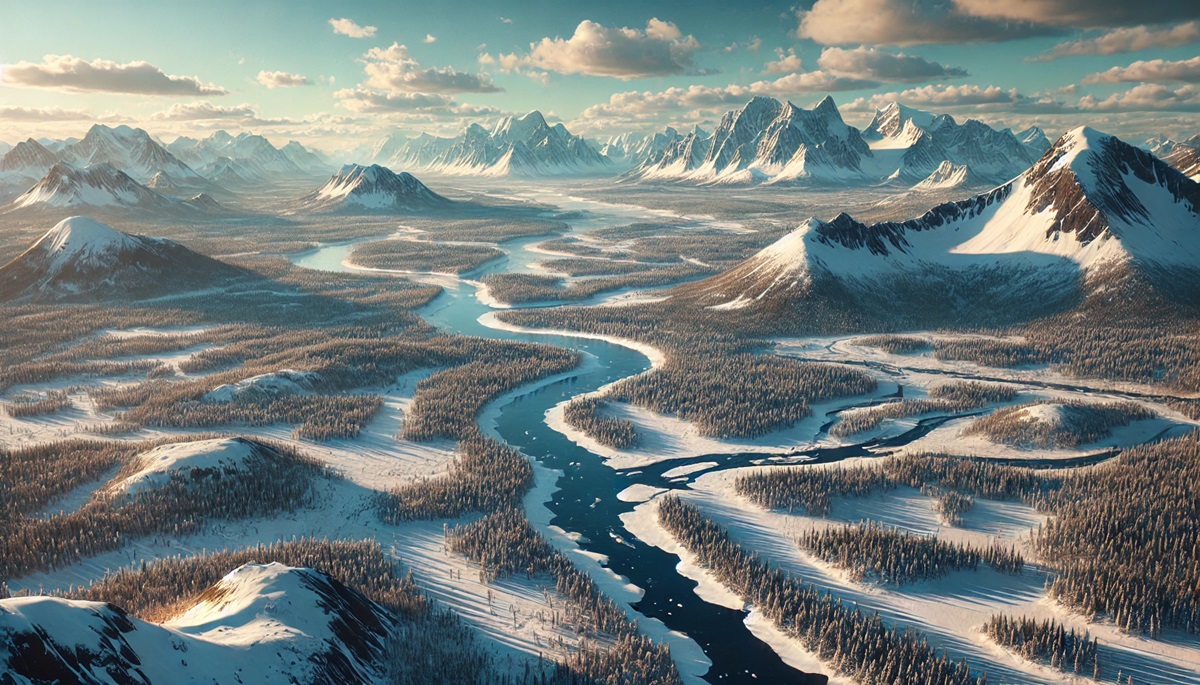
Russia is the largest country in the world, spanning an incredible 6,602,000 square miles across Europe and Asia. Stretching across Eastern Europe and Northern Asia, this vast nation spans 11 time zones and features diverse landscapes, including tundras, forests, and mountains. The Ural Mountains serve as the natural divide between Europe and Asia, while Siberia, with its endless forests and icy wilderness, dominates much of its territory.
Historically, Russia’s size has shaped its culture and politics. From the rise of the Tsardom to the Soviet Union’s global influence, Russia has consistently played a major role on the world stage. Today, its natural wonders, such as Lake Baikal and Kamchatka, attract adventurers and scientists alike. Anecdotal tales of Trans-Siberian Railway journeys through this immense landscape highlight its unparalleled scale.
#2: Canada – 3,855,000 square miles
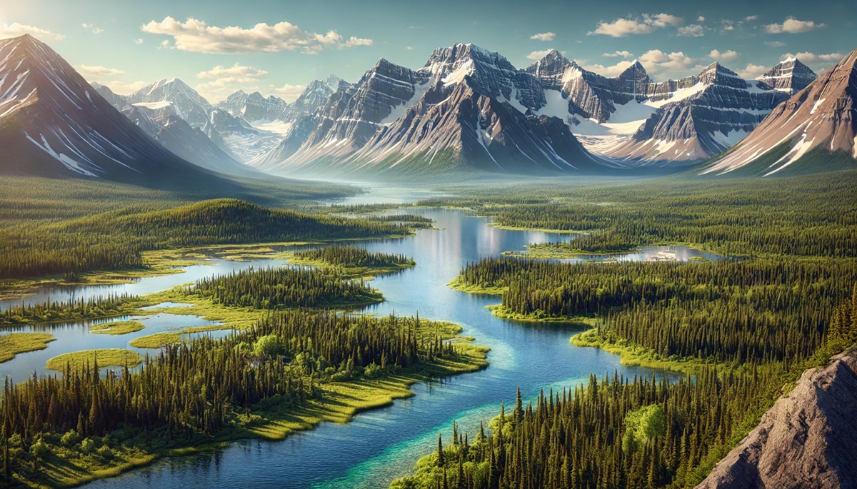
Canada, the second-largest country in the world, spans 3,855,000 square miles, stretching from the Atlantic Ocean in the east to the Pacific in the west and the Arctic Ocean to the north. Located in North America, it is bordered by three oceans: the Atlantic, Pacific, and Arctic. Its landscape includes vast forests, the Rocky Mountains, and the world’s longest coastline.
Canada’s history is deeply connected to its Indigenous peoples, whose cultures and traditions remain integral to its identity. French and British colonization brought European influence, evident in cities like Quebec and Toronto. The Northern Lights and Banff National Park offer breathtaking glimpses of its natural beauty, while the story of the Klondike Gold Rush reflects its adventurous past.
#3: United States – 3,797,000 square miles
The United States covers 3,797,000 square miles, making it the third-largest country. Its varied geography spans deserts, mountains, forests, and plains, from the Grand Canyon to the Appalachian Trail. The country’s highest peak, Denali, towers at 20,310 feet, while its lowest point, Death Valley, lies 282 feet below sea level.
With a history marked by colonization, revolution, and innovation, the United States has evolved into a global powerhouse. Iconic landmarks like Yellowstone National Park and the Statue of Liberty symbolize its natural and cultural heritage. The U.S. is a land of diversity, from bustling cities to serene rural landscapes, making it a microcosm of the world.
#4: China – 3,705,000 square miles
China spans 3,705,000 square miles, encompassing deserts, mountains, plateaus, and fertile plains. Its vast territory encompasses the Himalayas, the Gobi Desert, and the Yangtze River, showcasing incredible geographical diversity. The Great Wall of China, an ancient marvel, stretches across its northern regions.
China’s history spans thousands of years, from the dynasties to the rise of modern economic power. The Silk Road once connected China to the world, spreading its culture and goods. Today, bustling metropolises like Beijing and Shanghai coexist with rural villages, reflecting a blend of tradition and modernity.
#5: Brazil – 3,287,000 square miles
Brazil, the largest country in South America, covers 3,287,000 square miles. Known for the Amazon Rainforest and River, Brazil boasts unparalleled biodiversity. Its coastline stretches over 4,600 miles, featuring iconic beaches like Copacabana.
Brazil’s history is rich with Indigenous cultures and Portuguese colonization. It is celebrated for its vibrant festivals, including Carnival, and landmarks like Christ the Redeemer. The Amazon’s role as the “lungs of the Earth” underscores Brazil’s global ecological significance.
#6: Australia – 2,941,000 square miles
Australia spans 2,941,000 square miles, making it the largest country in Oceania and the only nation that is also a continent. Its landscapes range from the arid Outback to lush rainforests and the Great Barrier Reef. Uluru, a sacred Indigenous landmark, stands as a confirmation to its rich cultural heritage.
Australia’s isolation has led to unique flora and fauna, including kangaroos and koalas. Its modern cities like Sydney and Melbourne contrast with the vast wilderness, reflecting its dual identity as a developed nation and natural wonderland.
#7: India – 1,269,000 square miles
India, covering 1,269,000 square miles, is the seventh-largest country. Its geography includes the towering Himalayas, the fertile Gangetic plains, and the arid Thar Desert. The country’s cultural richness is unparalleled, with a history shaped by empires, trade, and spirituality.
From the Taj Mahal to the Ganges River, India’s landmarks are globally iconic. The country’s vibrant festivals, diverse cuisines, and ancient traditions make it a captivating destination.
#8: Argentina – 1,073,000 square miles
Argentina, the second-largest country in South America, spans 1,073,000 square miles. Its geography includes the Andes Mountains, the Pampas grasslands, and the Patagonian steppe. Aconcagua, South America’s highest peak, rises to 22,837 feet in Argentina.
The country’s history is marked by European colonization and a rich cultural heritage, including tango music and dance. The Perito Moreno Glacier and Iguazu Falls showcase Argentina’s natural splendor.
#9: Kazakhstan – 1,052,000 square miles
Kazakhstan, the world’s largest landlocked country, covers 1,052,000 square miles in Central Asia. Its landscape features vast steppes, deserts, and mountains, with Lake Balkhash and the Caspian Sea adding aquatic diversity.
Kazakhstan’s history includes the Silk Road, nomadic cultures, and Soviet influence. The Baikonur Cosmodrome, a historic space launch site, reflects its role in modern exploration.
#10: Algeria – 919,000 square miles
Algeria, the largest country in Africa, spans 919,000 square miles. The Sahara Desert dominates its landscape, while the Atlas Mountains and Mediterranean coastline offer contrasting environments.
Algeria’s history is shaped by ancient Berber cultures, Roman colonization, and its independence movement. Its desert landscapes, dotted with oases and ancient ruins, tell a story of resilience and adaptation.
The largest countries in the world are diverse landscapes that encompass incredible natural wonders, rich histories, and vibrant cultures. From Russia’s icy tundras to Brazil’s tropical rainforests, these nations highlight the vastness and diversity of our planet. They are a reminder of the beauty and complexity of the world we call home.
More Great Top 10’s
Countries and Maps
Countries and maps are intertwined stories of identity, boundaries, and the vastness of human and natural diversity. A country on a map is more than just a patch of color with neat borders; it’s a world within a world, brimming with culture, history, and landscapes. Maps capture the contours of mountains, the flow of rivers, the stretch of deserts, and the sprawl of cities, connecting these physical features to the lives and stories they contain. They tell tales of exploration, conflict, and unity, where each line etched on a map represents decisions and moments that shaped nations. A map transforms the concept of a country into something visual and navigable, turning the abstract notion of “home” into territories and regions waiting to be explored. Countries and maps together invite us to dream of distant places, imagine the people and cultures within, and understand how Earth’s geography molds its inhabitants. Whether tracing the rugged coastline of Norway, the sprawling savannahs of Kenya, or the endless plains of the United States, maps remind us of the endless stories unfolding across the borders they define.
Learn more about Maps
- Topographical Maps: Representation of the physical features of a region or area.
- Contour Maps: Representation of the contours of the land surface or ocean floor.
- Raised Relief Maps: Representation of land elevations with raised features indicating landforms.
- Terrain Maps: Representation of the physical features of a terrain or landmass.
- USGS Topographic Maps: Representation of topographic features and land elevations based on USGS data.
- USGS Historical Topographic Maps: Representation of historical topographic maps created by the USGS.
- Watershed Maps: Representation of the areas where water flows into a particular river or lake.
- Elevation Maps: Representation of land and water elevations with high precision.
- Physical Maps: Representation of physical features of the Earth’s surface such as landforms, oceans, and plateaus.
- Bathymetric Maps: Representation of the topography and features of the ocean floor.
- NOAA Maps: Representation of atmospheric, oceanographic, and environmental data by NOAA.
- Nautical Maps: Representation of the underwater features and depth of an area for navigation purposes.
- Geologic Maps: Representation of the geologic features of an area such as rock types, faults, and folds.
- Satellite Maps: Representation of earth from high-definition satellite imagery.
Contact us today to learn more about our services and how we can help you achieve your goals.

