Top 10 Largest Craters on Earth
Top 10 Largest Craters on Earth
WhiteClouds builds 3D Raised Relief Maps
Craters are geological marvels that capture the violent and transformative forces of nature. Whether formed by asteroid impacts, volcanic activity, or other explosive events, these colossal depressions tell stories of Earth’s dynamic history. Each crater has unique characteristics, from their staggering dimensions to the ecosystems they now host. Let’s explore the top 10 largest craters on Earth, uncovering their fascinating details, locations, and histories.
#1: Vredefort Crater – 984 feet
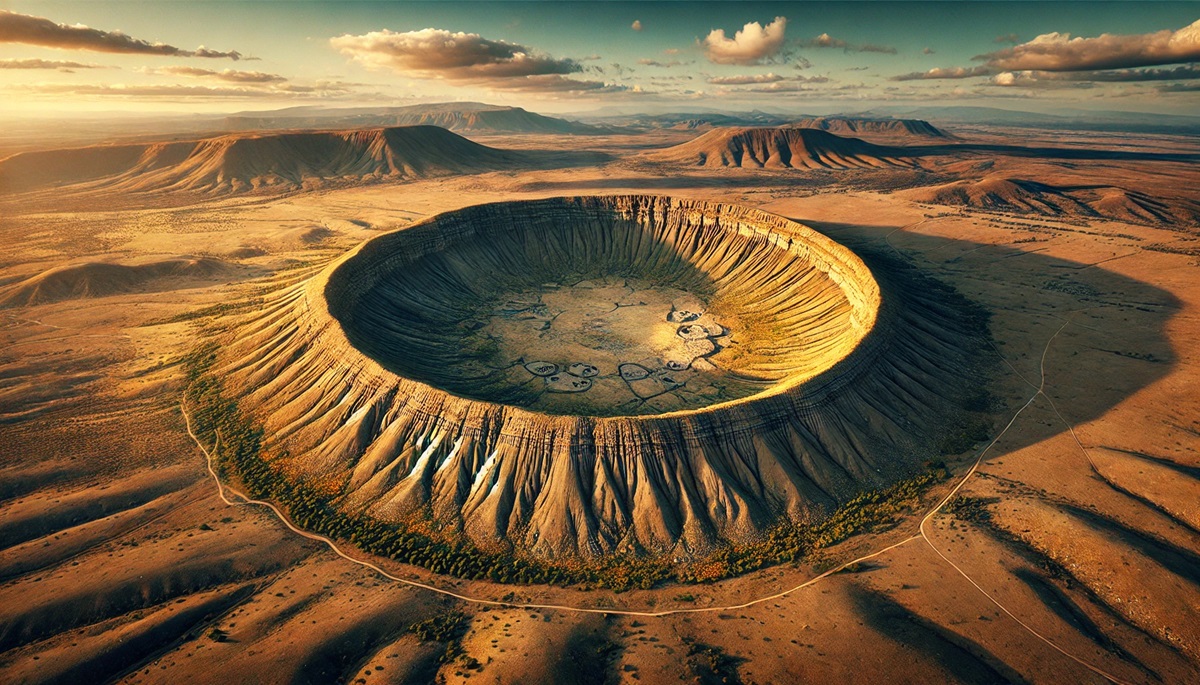
The Vredefort Crater in South Africa is the largest known impact crater on Earth, with a diameter of approximately 186 miles. Created around 2 billion years ago by an asteroid estimated to be six miles wide, this colossal structure is barely recognizable today, eroded over millennia. The crater’s central dome, known as the Vredefort Dome, is a UNESCO World Heritage Site, showcasing some of the oldest rocks on Earth.
The impact that formed the Vredefort Crater was so powerful that it altered the geology of the surrounding area, exposing deep-seated rock formations. It’s believed to have had global consequences, including climatic shifts. Visitors to the area can explore the dome and its rich biodiversity, making it a fascinating destination for geologists and adventurers alike.
#2: Chicxulub Crater – 65 feet
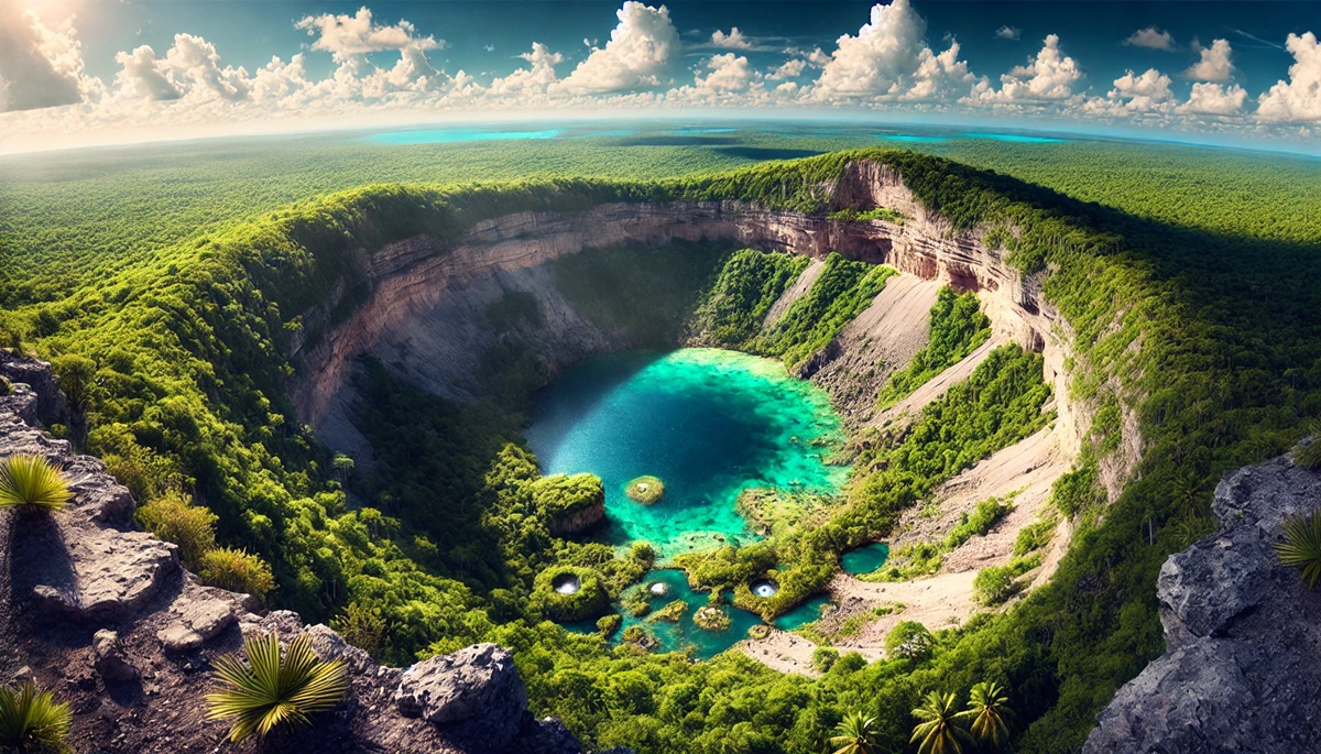
The Chicxulub Crater in Mexico is infamous for its role in one of Earth’s most catastrophic mass extinction events. Buried beneath the Yucatán Peninsula, this 93-mile-wide structure was formed 66 million years ago by an asteroid impact that likely triggered the extinction of the dinosaurs. Though much of the crater lies underwater, its discovery in the late 20th century reshaped our understanding of Earth’s history.
Researchers have studied the Chicxulub Crater extensively, uncovering evidence of massive tsunamis, wildfires, and a global “nuclear winter” caused by the impact. Today, sinkholes and cenotes scattered across the Yucatán provide glimpses into the crater’s hidden depths, drawing scientists and curious travelers to this pivotal site.
#3: Sudbury Basin – 49 feet
The Sudbury Basin in Ontario, Canada, spans approximately 39 miles and is one of the world’s largest and oldest impact structures. Formed around 1.85 billion years ago, the basin has been reshaped by tectonic activity, creating a unique elliptical shape. Unlike many craters, Sudbury is rich in mineral deposits, including nickel, copper, and platinum, making it a hub for mining.
The impact that created Sudbury was likely caused by a comet or asteroid over 6 miles in diameter. Today, the basin is a thriving industrial and cultural region, blending geological significance with economic importance.
#4: Popigai Crater – 328 feet
Located in Siberia, the Popigai Crater spans 60 miles and is estimated to be 35 million years old. This impact site is renowned for its diamond-rich deposits, formed when high-pressure conditions during the impact transformed graphite into diamonds. The crater’s remoteness has preserved much of its structure, making it an intriguing subject for scientific research.
Popigai’s diamonds are industrial-grade, but their abundance has sparked interest in potential mining. The crater’s icy landscape adds to its mystique, drawing comparisons to alien terrains.
#5: Manicouagan Crater – 500 feet
The Manicouagan Crater in Quebec, Canada, is one of Earth’s best-preserved impact structures. Measuring 40 miles in diameter, the crater was formed by an asteroid impact approximately 215 million years ago. Its most striking feature is the Manicouagan Reservoir, a ring-shaped lake created by the crater’s central uplift.
Known as the “Eye of Quebec,” the crater is a popular destination for scientists studying planetary geology and for tourists seeking breathtaking views of the surrounding wilderness.
#6: Acraman Crater – 492 feet
The Acraman Crater in South Australia is a largely eroded impact site with a diameter of 55 miles. Formed over 580 million years ago, the crater’s remnants are found within the Gawler Ranges, with Lake Acraman marking the center of the impact.
The impact is believed to have had significant ecological effects, coinciding with major evolutionary events. Acraman’s desolate beauty and ancient rocks provide a glimpse into Earth’s distant past.
#7: Morokweng Crater – 49 feet
Buried beneath the Kalahari Desert in South Africa, the Morokweng Crater spans approximately 43 miles. Discovered in the 1990s, this 145-million-year-old impact site is unique for its buried meteorite fragments, which provide valuable insights into asteroid composition.
The crater’s subsurface location makes it challenging to study, but ongoing research has revealed its importance in understanding the history of cosmic impacts on Earth.
#8: Kara Crater – 328 feet
The Kara Crater, located in the Russian Arctic, is an eroded impact structure spanning about 40 miles. Formed 70 million years ago, the crater is thought to have been part of a double impact event, paired with the nearby Ust-Kara Crater.
The Kara Crater’s harsh, icy environment has preserved much of its structure, making it a compelling site for studying impact geology and Arctic ecosystems.
#9: Gosses Bluff Crater – 492 feet
Gosses Bluff, or Tnorala, in Australia’s Northern Territory, is a deeply eroded impact site with a diameter of 14 miles. Formed around 142 million years ago, its central ring of cliffs is a striking feature, rising above the surrounding plains.
Sacred to the Western Arrernte people, Gosses Bluff holds cultural significance as well as scientific value. Stories of its creation are woven into Aboriginal Dreamtime legends, adding a layer of mystique to this ancient site.
#10: Clearwater Lakes – 328 feet
The Clearwater Lakes in Quebec, Canada, are twin impact craters formed around 290 million years ago. These two overlapping craters, measuring 22 and 16 miles in diameter, are now filled with water, creating a stunning natural landscape.
The craters’ unique formation has made them a subject of interest for geologists, while their picturesque setting attracts outdoor enthusiasts and photographers.
The world’s largest craters are more than geological features; they are windows into Earth’s tumultuous history. From the catastrophic events that shaped them to the ecosystems they now host, each crater tells a story of resilience and transformation. Exploring these colossal landmarks offers a glimpse into the forces that have shaped our planet and continue to influence life today.
More Great Top 10’s
Craters and Maps
Craters and maps weave a narrative of Earth’s explosive past, charting scars left by cosmic collisions and violent eruptions. A crater on a map is more than a depression; it’s a portal to history, where every contour tells a story of immense forces that shaped the land. Maps capture these dramatic features, whether they’re the sprawling rings of the Manicouagan Crater, now a serene reservoir, or the hidden depths of the Chicxulub Crater, buried beneath Mexico’s Yucatán Peninsula. They transform the incomprehensible scale of these formations into navigable spaces, connecting the remnants of ancient impacts with the landscapes they’ve shaped. Craters etched onto maps invite exploration—scientific and adventurous—guiding researchers to uncover clues about mass extinctions, asteroid composition, or volcanic history. They show how destruction gives way to renewal, with many craters hosting ecosystems thriving in their basins. Together, craters and maps are windows into Earth’s violent resilience, illustrating how a single cataclysmic moment can ripple through time, shaping not only the land but also our understanding of the universe.
Learn more about Maps
- Topographical Maps: Representation of the physical features of a region or area.
- Contour Maps: Representation of the contours of the land surface or ocean floor.
- Raised Relief Maps: Representation of land elevations with raised features indicating landforms.
- Terrain Maps: Representation of the physical features of a terrain or landmass.
- USGS Topographic Maps: Representation of topographic features and land elevations based on USGS data.
- USGS Historical Topographic Maps: Representation of historical topographic maps created by the USGS.
- Watershed Maps: Representation of the areas where water flows into a particular river or lake.
- Elevation Maps: Representation of land and water elevations with high precision.
- Physical Maps: Representation of physical features of the Earth’s surface such as landforms, oceans, and plateaus.
- Bathymetric Maps: Representation of the topography and features of the ocean floor.
- NOAA Maps: Representation of atmospheric, oceanographic, and environmental data by NOAA.
- Nautical Maps: Representation of the underwater features and depth of an area for navigation purposes.
- Geologic Maps: Representation of the geologic features of an area such as rock types, faults, and folds.
- Satellite Maps: Representation of earth from high-definition satellite imagery.
Contact us today to learn more about our services and how we can help you achieve your goals.

